Round, Sand, and Fish Lake Trail
View Photos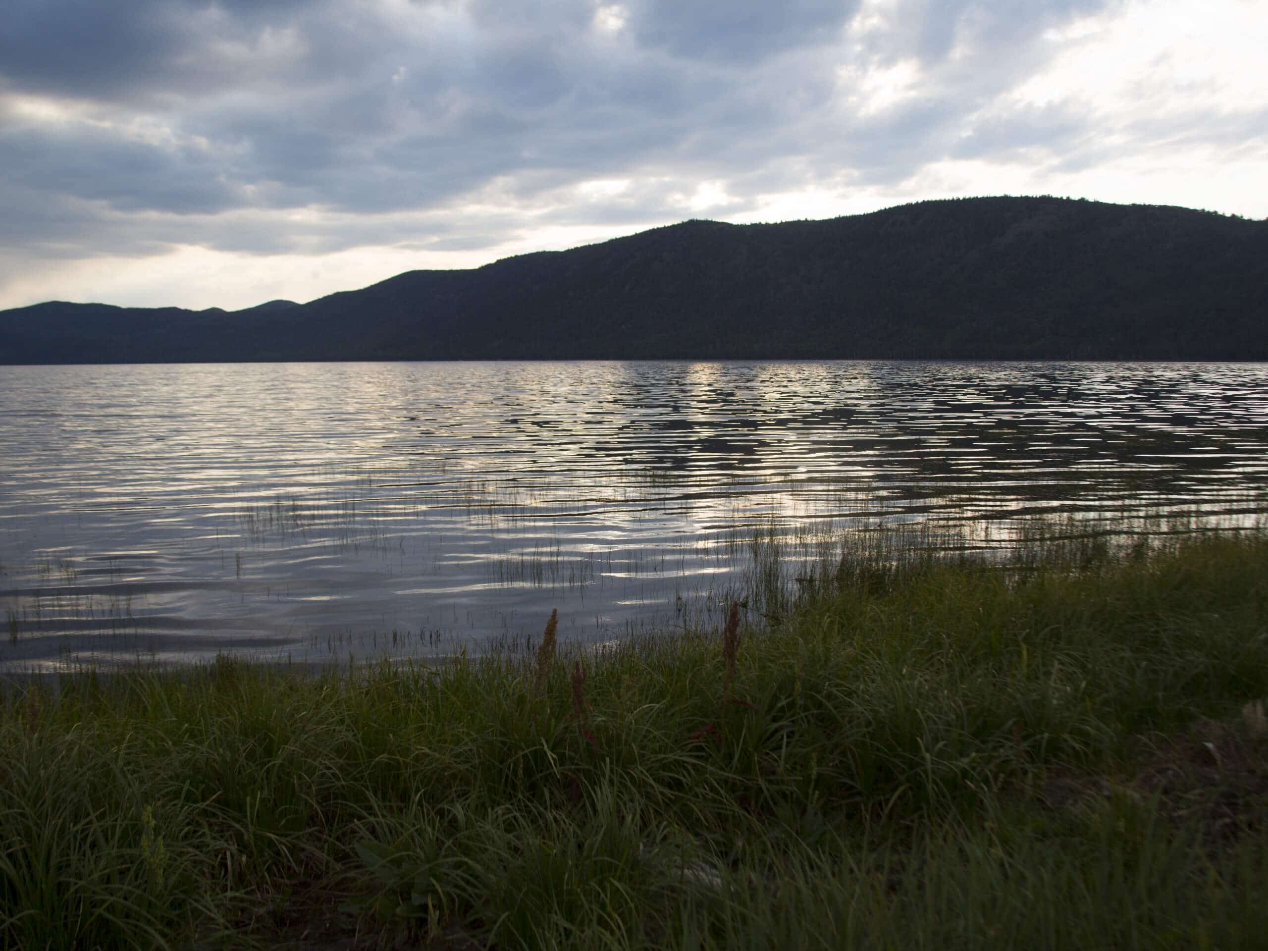
Round, Sand, and Fish Lake Trail
Difficulty Rating:
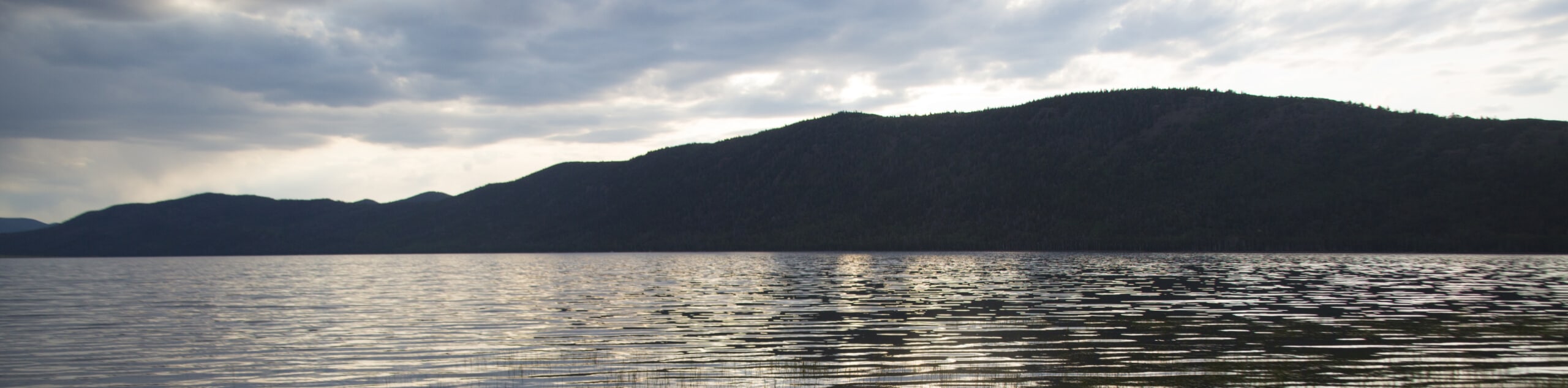
The Round Lake, Sand Lake, and Fish Lake Trail is a beautiful hike in the Uinta Wilderness. This trail is moderately challenging with incredible views throughout. Dogs are welcome to join you on this route but must be kept on leash at all times.
Getting there
This hike begins at the trailhead on the east side of Weber Canyon Road, approximately 19.0mi east of Oakley, Utah

About
| Backcountry Campground | Camping at Round Lake, Sand Lake, and Fish Lake, Zions Peak Campground |
| When to do | July to September |
| Pets allowed | Yes - On Leash |
| Family friendly | No |
| Route Signage | Average |
| Crowd Levels | Moderate |
| Route Type | Out and back |
Round, Sand, and Fish Lake Trail
Elevation Graph
Weather
Round, Sand, and Fish Lake Trail Description
The hike to Round Lake, Sand Lake, and Fish Lake is a gorgeous out-and-back route east of Oakley, Utah. This trail has steep and rocky sections; proper, supportive hiking footwear is essential, and we recommend bringing along a set of hiking poles if you’d like some extra support. If you enjoy fishing, be sure to bring along your rod; as the name would suggest, Fish Lake is a great spot to try your luck at catching a variety of trout.
Beginning at the trailhead, follow the path east along the streambed to a divide. At the divide, take the path on your right to head southeast down to the three lakes.
Enjoy your time fishing and exploring at Round Lake, Sand Lake, and Fish Lake. When you are ready to head home, simply retrace your steps back to the trailhead where you began.
Similar hikes to the Round, Sand, and Fish Lake Trail hike

Willard Creek Waterfall Trail
The Willard Creek Trail is an adventurous yet beautiful hike on the eastern edge of Willard, Utah. This trail is…

Skull Crack Trail
Despite the foreboding name, the Skull Crack Trail is a fantastic hike in the Uinta-Wasatch-Cache National Forest. This trail follows…

Box Elder Creek Trail
The Box Elder Creek Trail is a lovely hike northeast of Salt Lake City. This trail is used by both…
Comments