Crothers Woods Loop Hike
View Photos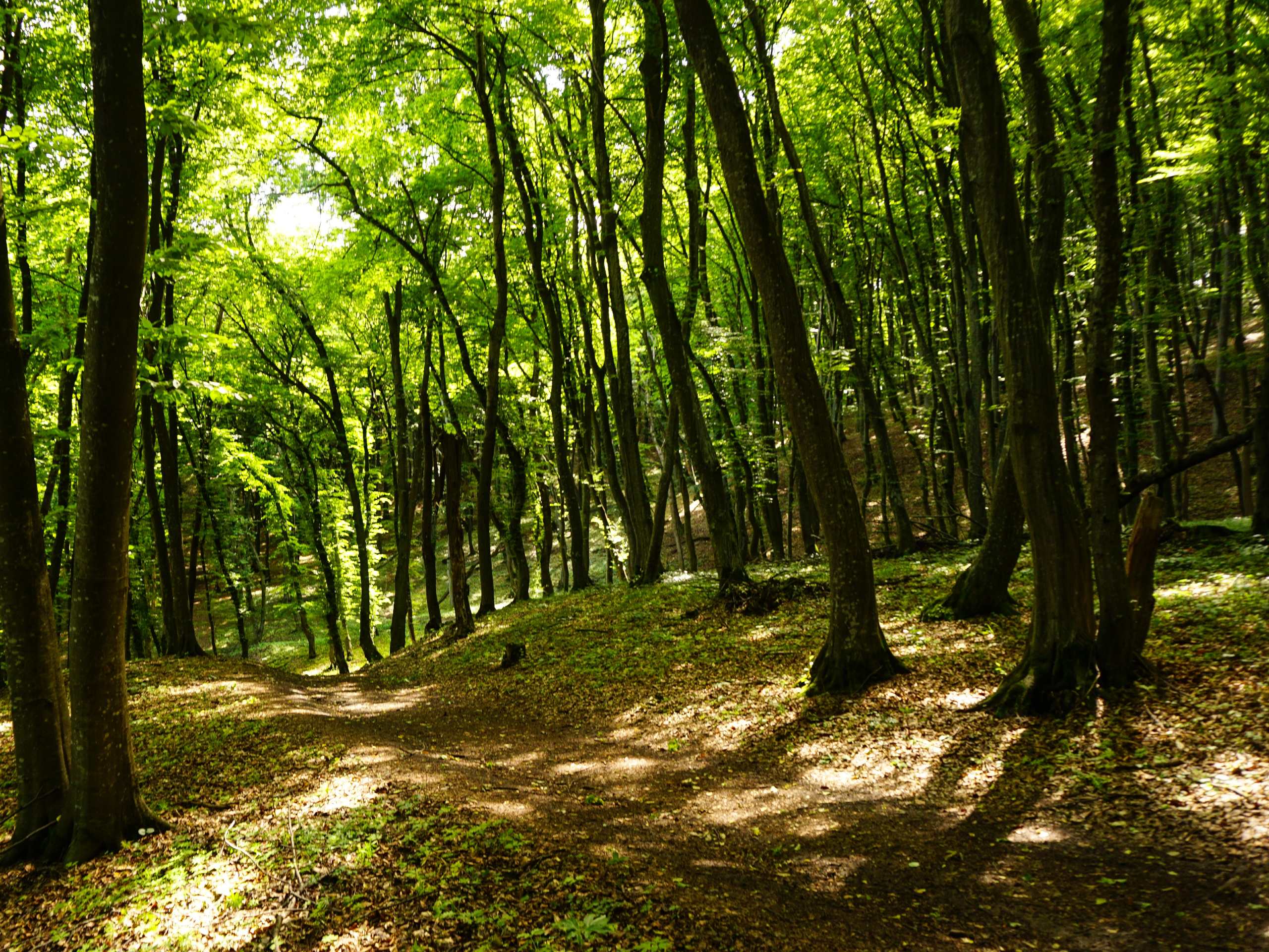
Crothers Woods Loop Hike
Difficulty Rating:
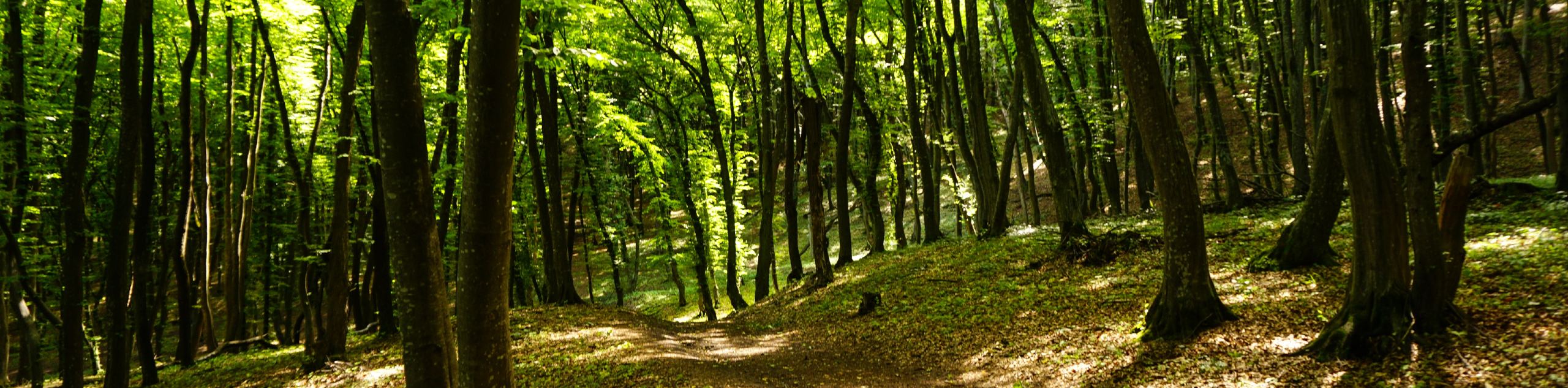
Walking the Crothers Woods Loop is a great outdoor activity in Toronto that will serve as a nice forest retreat without having to leave the city limits. While trekking through this tranquil forest setting, you enjoy beautiful views of the Lower Don River and have the chance to view several species of wildlife, in particular the birds that call the woods home. You should take note of the fact that this is a multi-use trail, so keep an eye out for passing bikers and trail runners.
Getting there
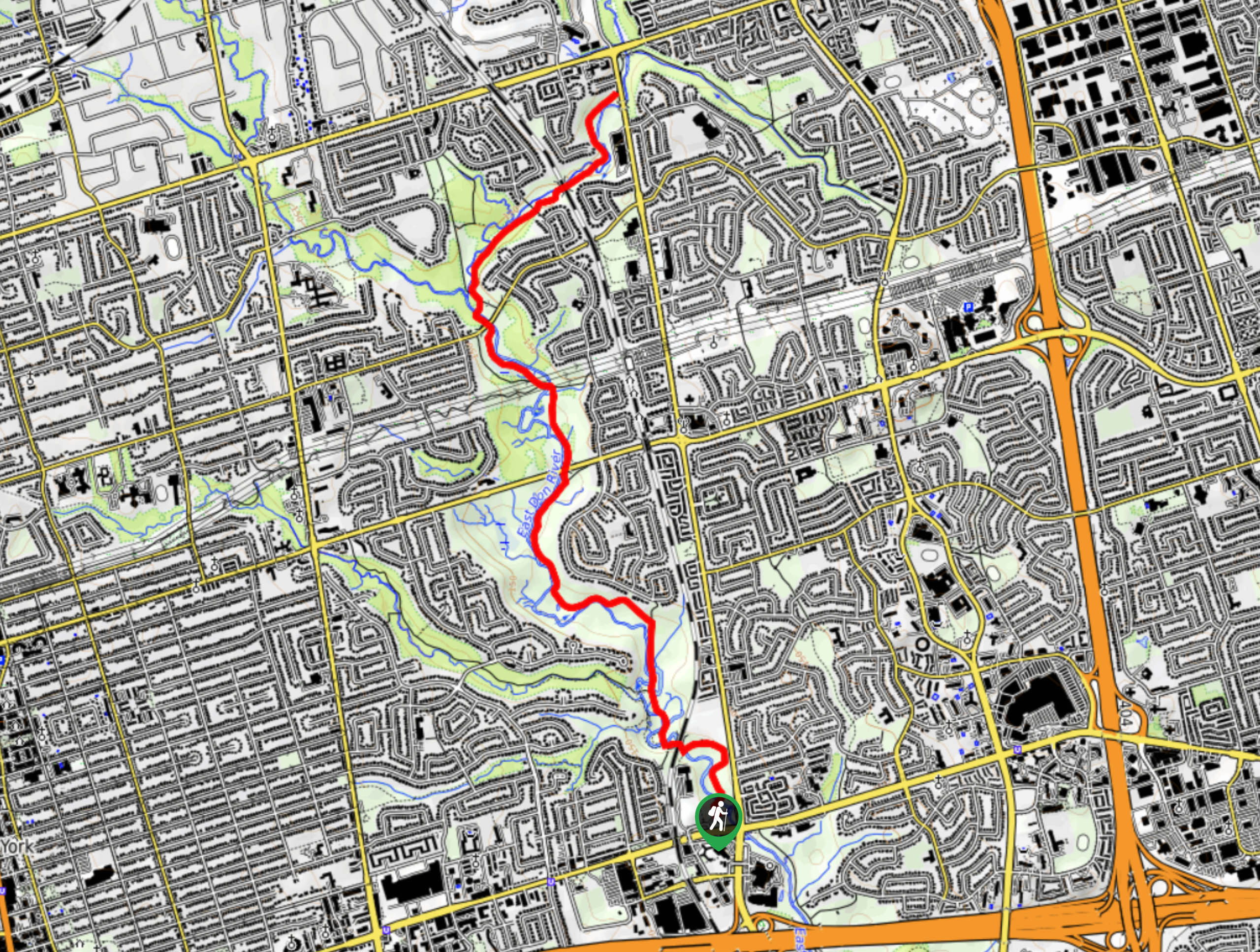
To reach the parking lot for the Crothers Woods Loop from the corner of Danforth and Pape, drive north on Pape Avenue for 1.3mi and make a slight left onto Millwood Road. Continue on for 0.7mi and turn left onto Redway Road, following it for 1476ft. Turn left to find the parking lot at the end of the road.

About
| When to do | Year-Round |
| Backcountry Campsites | No |
| Pets allowed | Yes - On Leash |
| Family friendly | Yes |
| Route Signage | Average |
| Crowd Levels | High |
| Route Type | Lollipop |
Crothers Woods Loop Hike
Elevation Graph
Weather
Crothers Woods Trail Description
As the Crothers Woods Loop is located in a dense urban centre, it is completely understandable that it would be a highly trafficked route. Additionally, it is a multi-use trail that is popular with bikers, hikers, trail runners, and dog walkers. Be sure to arrive early if you are looking for a bit of peace and quiet along the trail. In terms of trail conditions, the route is generally well-maintained, although the spring and autumn seasons will see portions of the trail become quite muddy. Proper hiking footwear is advisable in these conditions.
Even if the Crothers Woods Loop is a popular route for many people in the Toronto area, it is still a scenic trail that will provide you with a bit of respite from the hectic nature of city living. The area features a good network of intersecting trails that will provide you with a few hours of leisurely walking along the banks of the Don River, meaning that you won’t even need to leave the city to feel refreshed, recharged, and reconnected with nature.
Setting out from the parking lot, follow the trail to the southeast as it enters into the dense cover of the forest. At the junction, head to the left and follow the path for 853ft, turning right to slightly descend the hillside to arrive at another junction in short order. Turn right here and follow the meandering track through the forest, soaking in the relaxing woodland atmosphere as you work your way to the southwest.
From here, head south and pass straight through the 5-way intersection in the trail, following the Sun Valley Loop along the banks of the Don River. After 1345ft along this trail, head left at the intersection to continue to the south, making your way along the narrow stretch of forest between Bayview Avenue and the river. Eventually, this short loop will turn back to the north and bring you back to the junction with the Sun Valley Loop. Turn left here and complete the remainder of the loop, meandering through the forest for 0.67km until you arrive back at the 5-way intersection.
Pass straight through the junction and follow the Redway Access Trail along the Don River until it meets up with a service road. Turn left here and follow the road for 574ft before picking up a trail on your right side that leads into the forest to the north. Keep right along this trail for the next 0.8mi, as it leads you through the tranquil forest to pass under Millwood Road and arrive at a junction with another trail.
At this point, turn back and retrace your steps through the forest until you arrive back at the edge of the service road. Cross directly over to the other side and head right at the junction, following the last 951ft stretch of trail through the forest on the return to the parking lot where you began the Crothers Woods Loop.
Trail Highlights
Don River
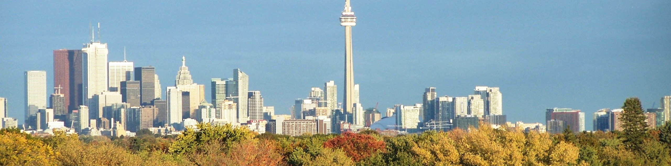
Along with the Humber River in the west, the Don River is a major waterway that flanks the city of Toronto in the east. The river is actually formed from two rivers, the east and west branches, that come together to flow into Lake Ontario. Numerous recreation areas can be found along the banks of the Don River, providing a much needed outlet for the people of Toronto to escape the city.
Insider Hints
This trail can be quite muddy in the spring/autumn seasons. Be sure to wear decent hiking footwear.
Keep an eye out for passing cyclists and trail runners.
Similar hikes to the Crothers Woods Loop Hike hike
East Don Parkland Trail
Hiking the East Don Parkland Trail is a great way to spend an afternoon exploring a small slice of nature…
High Park Trail
Hiking the High Park Trail is a wonderful experience in the west end of Toronto that will expose you to…

Toronto Waterfront Trail
Also known as the Martin Goodman Waterfront Trail, the Toronto Waterfront Trail is a long multi-use route that provides a…
Comments