High Park Trail
View Photos
High Park Trail
Difficulty Rating:
Hiking the High Park Trail is a wonderful experience in the west end of Toronto that will expose you to a vast area of woodland terrain that serves as a retreat for many people to escape the hectic environment of the city. While out walking the trail, you will make your way through mature forests, experience views across serene bodies of water, and pass by a number of well-maintained gardens and recreation spaces. Although this trail is certainly accessible year-round, the best time to visit High Park is during the April to May window, when the Japanese cherry trees in the park reveal their picturesque pink blossoms.
Getting there
To reach the parking area for the High Park Trail from the Royal Ontario Museum, head west along Bloor Street W for 6km and turn left to enter High Park. Here, you will find a number of parking areas throughout the park. Alternatively, you can utilize street parking along High Park Avenue if there is no parking available.

About
| When to do | Year-Round |
| Backcountry Campsites | No |
| Pets allowed | Yes - On Leash |
| Family friendly | Yes |
| Route Signage | Average |
| Crowd Levels | High |
| Route Type | Circuit |
High Park Trail
Elevation Graph
Weather
High Park Trail Description
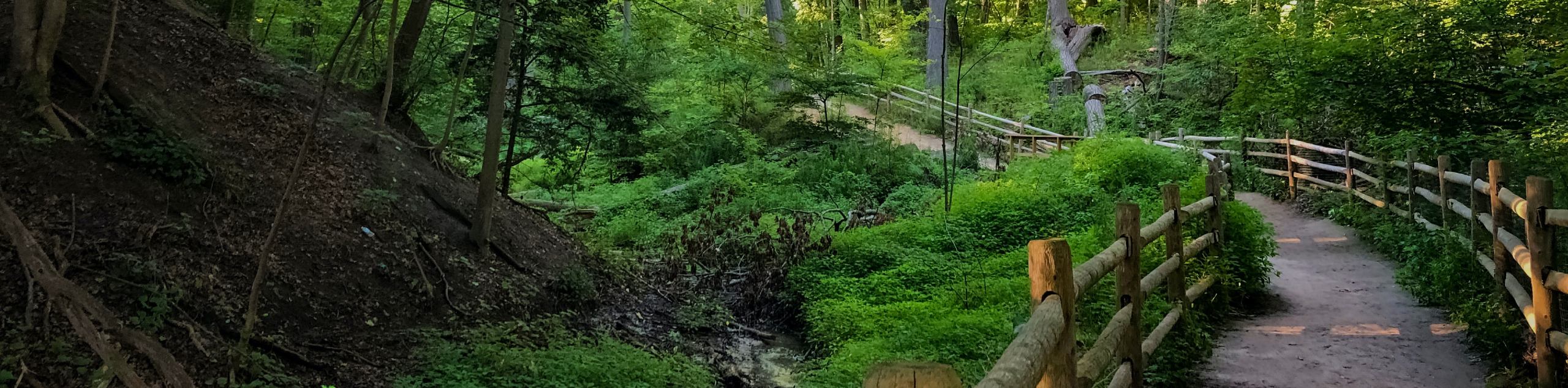
As the second largest municipal park in Toronto, High Park offers a wide variety of woodland trails and recreation areas that are just waiting to be explored. Within the park, you will find beautiful public gardens, a zoo, the Grenadier Restaurant, off-leash dog parks, educational facilities, and well-maintained public areas that are perfect for sitting out on the grass to enjoy a nice picnic. In terms of the trails themselves, they are largely well-maintained and feature small amounts of elevation gain throughout the hilly landscape of the park, which makes for a fun day of adventuring, no matter the season. As previously mentioned, visiting the park in April/May will produce some stunning views of cherry blossoms; however, this time will see the park filled with countless tourists.
Setting out from the parking area near the entrance to High Park, follow the trail to the west and make your way downhill through the tree cover to reach the edge of Wendigo Pond. From here, you will turn to the south and follow along the edge of the water, eventually receiving some beautiful views across the much larger expanse of Grenadier Pond. Shortly after passing some well-manicured gardens on your left, the trail will bend to the east to cut across the southern portion of the park and cross over Spring Creek. After working past the Lower and Upper Duck Ponds, you will climb uphill and pass by the Grenadier Restaurant, which is a great place to sit out on the patio for a nice lunch. From here, you will loop around the forested northeast corner of the park and pass by Ridout Pond before arriving back at the starting point of your hike.
Similar hikes to the High Park Trail hike
East Don Parkland Trail
Hiking the East Don Parkland Trail is a great way to spend an afternoon exploring a small slice of nature…
Glen Stewart Park Trail
Hiking the Glen Stewart Park Trail is a quick and easy outdoor experience in the east end of Toronto that…

Toronto Waterfront Trail
Also known as the Martin Goodman Waterfront Trail, the Toronto Waterfront Trail is a long multi-use route that provides a…
Comments