
East Don Parkland Trail
View Photos
East Don Parkland Trail
Difficulty Rating:
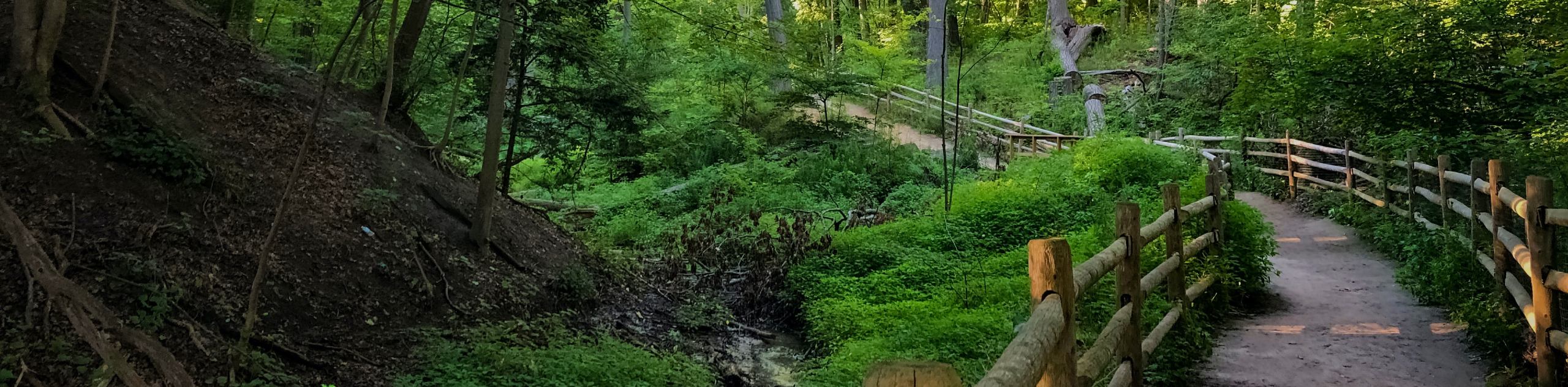
Hiking the East Don Parkland Trail is a great way to spend an afternoon exploring a small slice of nature in the heart of North York. While out on the trail, you will follow along a well-maintained path along the banks of the East Don River, crossing over it at several points by means of a series of charming bridges. With almost no elevation gains present throughout the trail, this route is perfectly suited for hikers of almost every skill level. While the paths are largely paved, there may be a few sections of gravel that could slow travel for those with wheelchairs or strollers.
Getting there
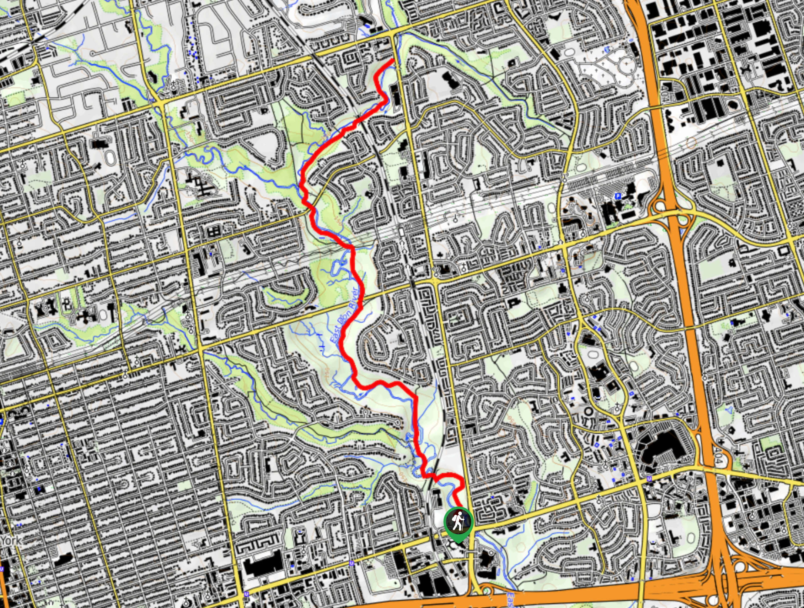
To reach the trailhead for the East Don Parkland Trail from the corner of Yonge and Sheppard, head east on Sheppard Avenue for 2.4mi and make a u-turn at Leslie Street. In 124.3mi, turn right onto Old Leslie Street and you will find the parking lot on the right in 23.0mi.

About
| When to do | Year-Round |
| Backcountry Campsites | No |
| Pets allowed | Yes - On Leash |
| Family friendly | Yes |
| Route Signage | Average |
| Crowd Levels | High |
| Route Type | Out and back |
East Don Parkland Trail
Elevation Graph
Weather
East Don Parkland Trail Description
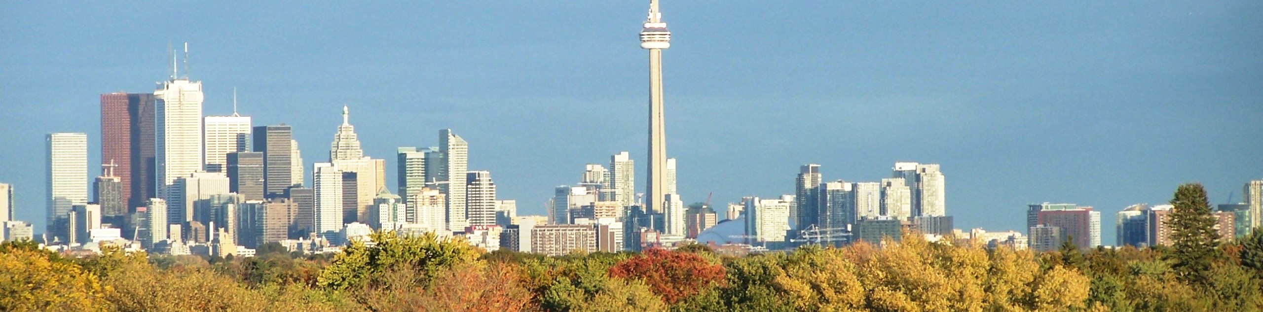
With the exception of the other hikers along the trail and the odd building poking above the tree cover, it can be fairly easy to forget that the East Don Parkland Trail is situated right in the heart of North York. In fact, the only real downside to hiking along this route is the large volumes of people that will inevitably be out on the trail during fair weather weekends. In order to secure a parking space and enjoy a bit of solitude on your hike, be sure to arrive early or at off-peak times. Additionally, this is a multi-use trail that is also popular with cyclists and trail runners, so be sure to keep an eye out and allow others enough room to pass you on the trail.
Setting out from the parking area at the southern end of the park, the trail will lead you to the north across a bridge to follow along the winding banks of the East Don River. Take some time to enjoy the tranquil atmosphere of the woodland setting, as you make your way through the forest and eventually reach the confluence of the East Don River and German Mills Creek. At this point, you will branch off to the northeast and follow along the creek until you arrive at the terminus of the trail where it meets Leslie Street. From here, turn back along the trail and retrace your steps along the river to double down on the scenic views on your return to the trailhead.
Similar hikes to the East Don Parkland Trail hike
Glen Stewart Park Trail
Hiking the Glen Stewart Park Trail is a quick and easy outdoor experience in the east end of Toronto that…
High Park Trail
Hiking the High Park Trail is a wonderful experience in the west end of Toronto that will expose you to…

Toronto Waterfront Trail
Also known as the Martin Goodman Waterfront Trail, the Toronto Waterfront Trail is a long multi-use route that provides a…
Comments