Humber River Recreation Trail
View Photos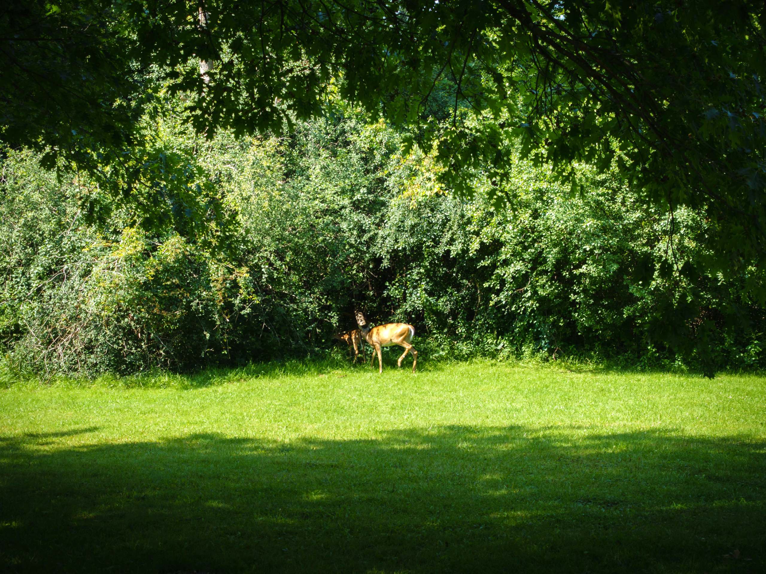
Humber River Recreation Trail
Difficulty Rating:
This stretch of the Humber River Recreation Trail is an 5.1mi out-and-back route that will take you from Etienne Brulé Park near the Old Mill, to the James Gardens and back. While out on the trail, you will walk along the forested edge of the river and take in some lovely views across the water. This beautiful route is popular with cyclists and walkers as a means to temporarily escape the hustle and bustle of city life.
There is currently construction work being done at the beginning of this trail in Etienne Brulé Park that is slated to end in May 2022. People wishing to utilize this route can access the trail just after the construction zone in Baby Point or at the end of the trail in the James Gardens park.
Getting there
To reach the parking lot for the Humber River Recreation Trail from High Park, head west on Bloor Street W for 1.2mi and turn right onto Old Mill Drive. After 1640ft, turn left onto Catherine Street, where you will find the entrance to the parking lot on the right in 131ft.

About
| When to do | Year-Round |
| Backcountry Campsites | No |
| Pets allowed | Yes - On Leash |
| Family friendly | Yes |
| Route Signage | Average |
| Crowd Levels | High |
| Route Type | Out and back |
Humber River Recreation Trail
Elevation Graph
Weather
Humber River Recreation Trail Description
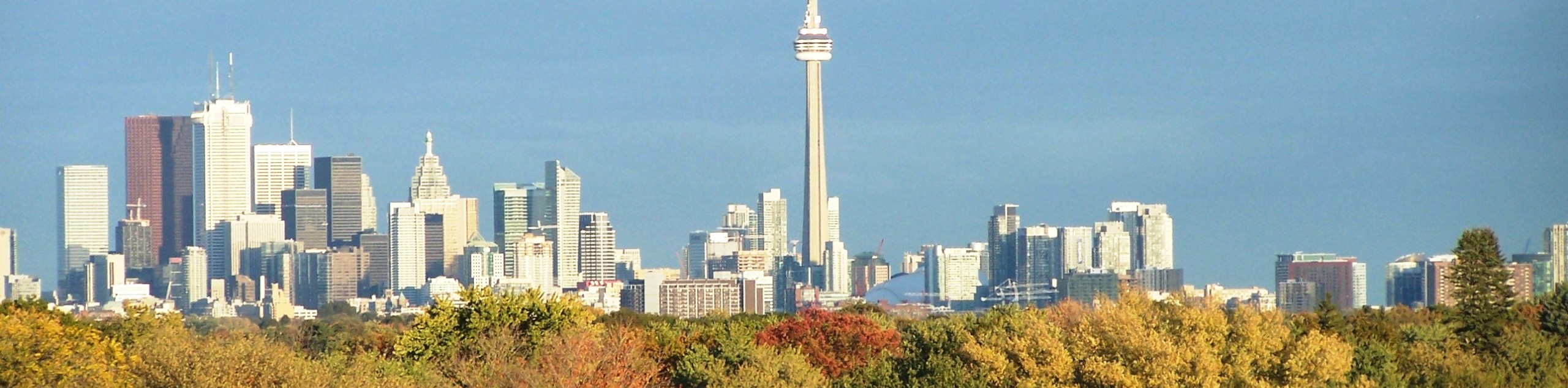
Due to its location between the densely populated urban centres of Toronto and Etobicoke, the Humber River Recreation Trail is a heavily trafficked route that is utilized by a wide range of outdoor enthusiasts. Be sure to arrive early to secure parking right at the trailhead.
Although it may be a busy trail, it is for good reason, as the route serves as an outlet for many city dwellers to escape the chaos of urban life and reconnect with nature. Featuring paved pathways that hug tightly to the edge of the water and very little elevation gain, the Humber River Recreation Trail is perfectly suited for hikers, cyclists, dog walkers, and families that are looking to slow down and spend some time outdoors.
Setting out from the parking lot in Etienne Brulé Park, follow the trail to the northwest and enjoy the beautiful views of the meandering river and surrounding forest landscape. After only 1148ft, you will pass by a cascading waterfall along the river before entering into a more densely wooded area.
Follow the trail around the bend to the right for the next 1.2mi, enjoying the views of several more waterfalls as you relax in the riverside forest atmosphere. Make sure to keep an eye out for cyclists and passing trail runners, as there is a large number of outdoor enthusiasts that utilize this trail.
Make your way under the Dundas Street overpass and continue along the trail as it hugs the banks of the Humber River for another 0.4mi, where you will turn left at the junction and cross over the bridge that spans the water. Keep right along the trail here and follow the trail as it passes through the tranquil setting of Lambton Woods, eventually arriving at the end point of the trail in the James Gardens. From here, you can explore the park and visit the charming duck ponds before retracing your steps along the Humber River Recreation Trail to return to the car park where you began.
Trail Highlights
Humber River
Along with the Don River to the east, the Humber River is one of the two waterways that flank the city of Toronto and offer access to a number of recreation spaces for the urban population. The river is fed by roughly 750 smaller creeks and streams, and was designated a Canadian heritage river in 1999.
Frequently Asked Questions
How long is the Humber River Trail?
In its entirety, the Humber River Trail is 8.1mi long and is a favourite spot of hikers, cyclists, and dog walkers in the west end of the city.
Is it safe to swim in the Humber River?
Unfortunately, the Humber River has been affected by the ever-increasing stress that humans have placed on the area. During periods of rainfall, pollutants are often washed into the Humber River, making it unsafe for recreational activities like swimming.
Insider Hints
This route can be extremely busy during peak hours. Be sure to arrive early to secure a parking space.
The pathways along this route are paved and perfectly suitable for all ages and skill levels.
Similar hikes to the Humber River Recreation Trail hike
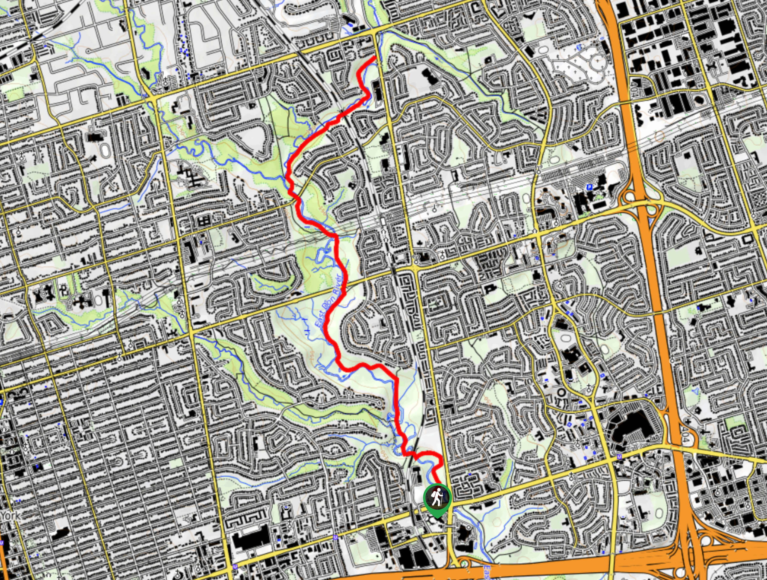
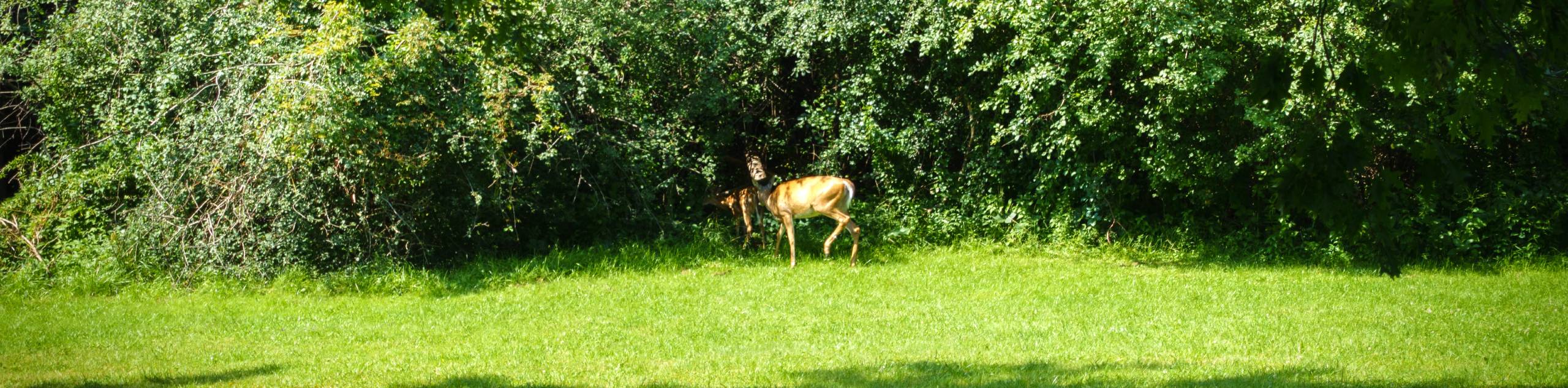
East Don Parkland Trail
Hiking the East Don Parkland Trail is a great way to spend an afternoon exploring a small slice of nature…
High Park Trail
Hiking the High Park Trail is a wonderful experience in the west end of Toronto that will expose you to…

Toronto Waterfront Trail
Also known as the Martin Goodman Waterfront Trail, the Toronto Waterfront Trail is a long multi-use route that provides a…
Comments