
Mount Steele Hike
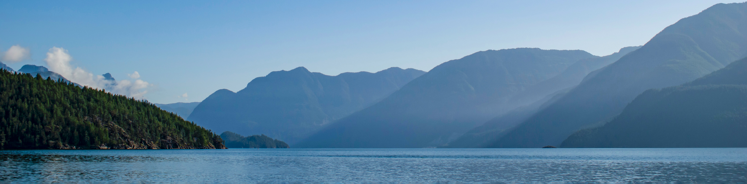
View Photos
Mount Steele Hike
Difficulty Rating:
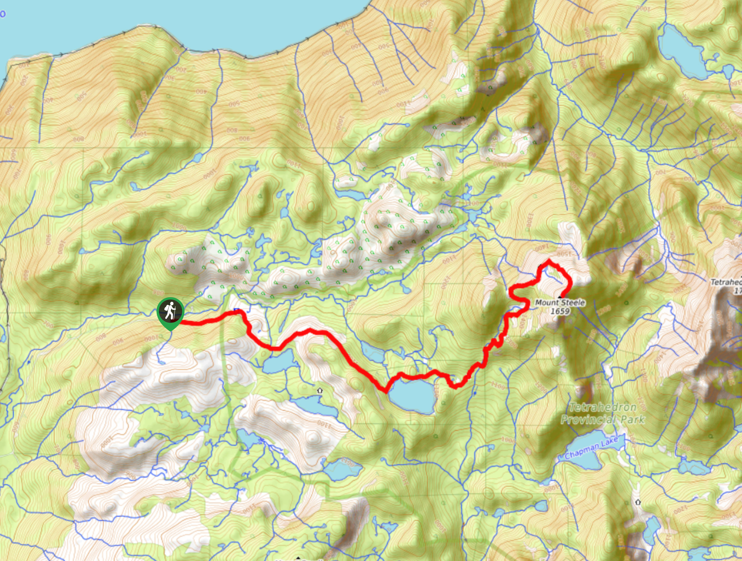
The Mount Steele trail is a 12.2mi out-and-back hiking route in Tetrahedron Provincial Park that will take you up to the summit for some breathtaking views that stretch northwest to the Tantalus Range. Although the route has a large elevation gain, this is spread throughout the hike, making for a lengthy but not overly difficult trek up the mountain. Along the trail, you will experience an amazing old-growth forest setting, as well as views of Edwards Lake and the surrounding mountain peaks.
Getting there
To reach the trailhead for Mount Steele from Sechelt, head north on Wharf Avenue for 1640ft and turn right on E Porpoise Bay Road. After 1476ft, continue straight onto Sechelt Inlet Road and follow it for 5.0mi. Turn right onto Todd Road, following it for 2297ft before turning right again onto Carmel Place. Make a left in 1476ft and continue on for 5.8mi to arrive at the trailhead on the right.

About
| When to do | April-October |
| Backcountry Campsites | No |
| Pets allowed | No |
| Family friendly | No |
| Route Signage | Average |
| Crowd Levels | Low |
| Route Type | Out and back |
Mount Steele Hike
Elevation Graph
Weather
Mount Steele Trail Description
Due to the length of the trail, Mount Steele is a tough hiking route through some rugged terrain; however, it is not overly technical, and as such, it is a great route for casual hikers looking to push themselves with a longer hike. The road into the trailhead is a bit rough, so make sure to attempt the journey in with a high clearance vehicle to safely make it to the starting point of the hike.
The route begins by the side of the road and enters into the forest to the southeast. Here, you will need to cross over a small creek before continuing along the trail as it follows a gentle climb for the first hour or so. Views along the trail will open up a bit on the approach to Edwards Lake, although these will largely consist of cleared sections of the mountainside. Once at the lake, the trail will enter into an amazing stretch of old-growth forest with some giant moss-covered trees that make the experience very atmospheric. At this point, the route will climb up a root-covered stretch of trail, working up the mountainside to a ridge.
From here, you will have your first real views of the hike, with a sightline that stretches out to the Tantalus Range on a clear day. Continue on around the north side of Mount Steele, where the trail turns to the south on the final push to the summit. Once there, you will have an amazing panoramic view that includes the Salish Sea and Vancouver Island. After taking in the views, carefully head back down the same trail to return to your vehicle.
Similar hikes to the Mount Steele Hike hike
Saltery Bay and Rainy Day Lake Loop
The Saltery Bay and Rainy Day Lake Loop is an 11.4mi lollipop hiking route near Powell River, BC,…
Rainy Day Lake Hike
The hike out to Rainy Day Lake follows an 5.1mi out-and-back route near Powell River, BC, that sets…
Gibraltar Lookout Hike
The journey to the Gibraltar Lookout follows a 3.8mi out-and-back hiking route that climbs uphill through the forest…
Comments