Saltery Bay and Rainy Day Lake Loop
View Photos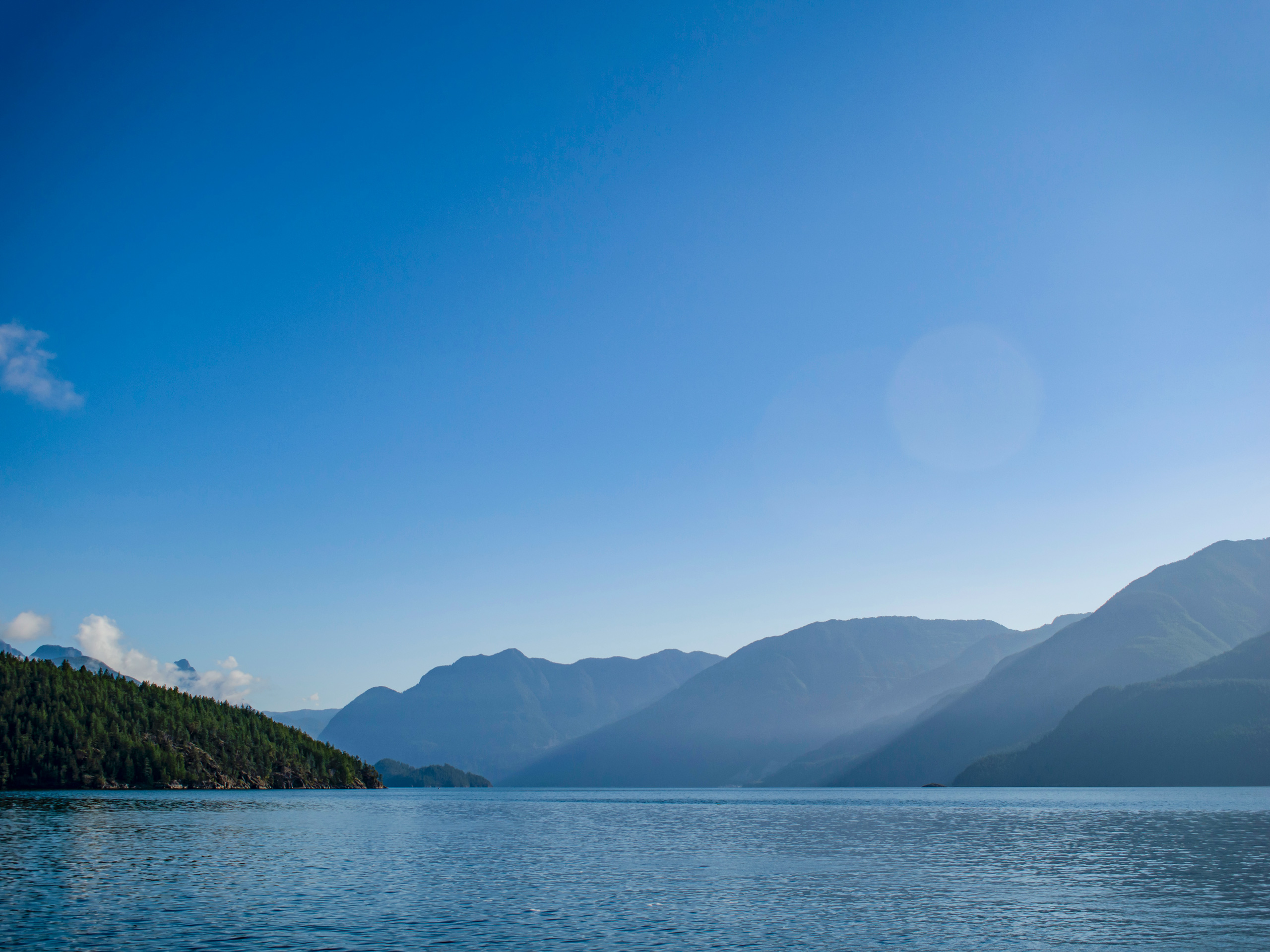
Saltery Bay and Rainy Day Lake Loop
Difficulty Rating:
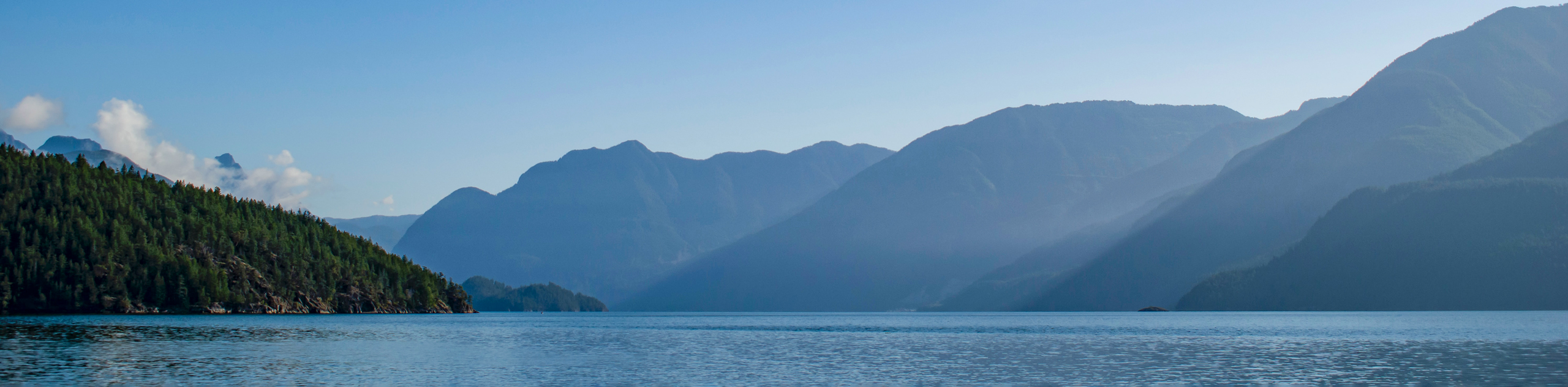
The Saltery Bay and Rainy Day Lake Loop is an 11.4mi lollipop hiking route near Powell River, BC, that will take you along the Sunshine Coast before heading inland to the scenic shores of Rainy Day Lake. Along the trail, you will experience the beautiful coastal landscape before hiking through a stunning forest setting to the picturesque waters of the lake, where you can gaze across the calm water at the heavily wooded mountain slopes of the surrounding area. If you are looking to turn this into an overnight trip, there are several cabins along the route that can be booked in advance.
Getting there
To get to the trailhead for the Saltery Bay and Rainy Day Lake Loop from Powell River, make your way south along BC-101 for 19.0mi. Turn left on Rainy Day Lake Road, where you will find the parking area in 656ft.

About
| When to do | March-October |
| Backcountry Campsites | No |
| Pets allowed | Yes - On Leash |
| Family friendly | Older Children only |
| Route Signage | Average |
| Crowd Levels | Low |
| Route Type | Lollipop |
Saltery Bay and Rainy Day Lake Loop
Elevation Graph
Weather
Saltery Bay and Rainy Day Lake Trail Description
Hiking the Saltery Bay and Rainy Day Lake Loop is a spectacular outdoor experience that will allow you to fully appreciate both the coastal landscapes and wonderfully forested interior regions that make the Sunshine Coast such a unique and beautiful place. The trail sets out from Saltery Bay and heads to the east, following closely along the coastline of the Jervis Inlet and passing by Rose Beach, Pirates Cove, and Ahlstrom Point in the process. When you reach Fairview Bay, the trail will turn more to the north and meander through the forest on the approach to Rainy Day Lake. Once there, you will be greeted by amazing views that sweep across the shimmering water and reflect the image of its heavily wooded shores. Continue along the edge of the lake and follow the trail that branches off to the southeast, to climb up to a scenic viewpoint overlooking the Strait of Georgia. From here, you will descend through the dense cover of the forest on the return portion of the trail that will bring you back to your starting point.
Similar hikes to the Saltery Bay and Rainy Day Lake Loop hike

Malaspina Switchback Trail
The Malaspina Switchback Trail is a 4.3mi out-and-back hiking route in Powell River, BC, that will take you…

Holly Branch Loop Hike
The Holly Branch Loop is a 3.7mi lollipop hiking route near Powell River, BC, that will take you…

Stillwater Bluffs Trail
The Stillwater Bluffs Trail is a 1.9mi lollipop hiking route along the Sunshine Coast that provides some amazing…
Comments