
Malaspina Switchback Trail
View Photos
Malaspina Switchback Trail
Difficulty Rating:
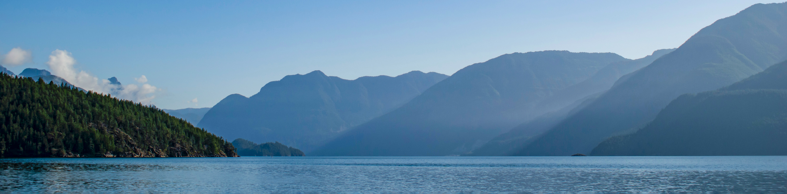
The Malaspina Switchback Trail is a 4.3mi out-and-back hiking route in Powell River, BC, that will take you through the forest to a stretch of trail along the Sunshine Coast. Along the hike, you will make your way through a beautiful forest setting, hike alongside the flowing waters of the Powell River, and experience amazing views looking out across the Georgia Strait. With minor elevation gains and scenic coastal views, this is a great trail for hikers of almost every skill level.
Getting there
To reach the Malaspina Switchback trailhead from Powell River, head north on Marine Avenue for 0.0mi and you will find the trailhead on the left immediately after the bridge crossing.

About
| When to do | March-October |
| Backcountry Campsites | No |
| Pets allowed | No |
| Family friendly | Yes |
| Route Signage | Average |
| Crowd Levels | Moderate |
| Route Type | Out and back |
Malaspina Switchback Trail
Elevation Graph
Weather
Malaspina Switchback Trail Description
Hiking the Malaspina Switchback Trail is a fun adventure that will take you along the beautiful Sunshine Coast for some amazing views over the water while getting some great exercise in the process. The trail sets out from the parking area and heads into a thick stretch of temperate rainforest that is bordered by the Powell River to the south. Follow along the trail as it skirts alongside the river and leads you to a more exposed part of the trail along the coast. As the path turns to the northwest, you will have an amazing sightline that stretches out across the Strait of Georgia towards the Texada and Vancouver islands. When you have reached the end of the trail, make your way back along the same route to return to the trailhead.
Similar hikes to the Malaspina Switchback Trail hike

Holly Branch Loop Hike
The Holly Branch Loop is a 3.7mi lollipop hiking route near Powell River, BC, that will take you…

Stillwater Bluffs Trail
The Stillwater Bluffs Trail is a 1.9mi lollipop hiking route along the Sunshine Coast that provides some amazing…
Saltery Bay and Rainy Day Lake Loop
The Saltery Bay and Rainy Day Lake Loop is an 11.4mi lollipop hiking route near Powell River, BC,…
Comments