Mount Gardner Loop Trail
View Photos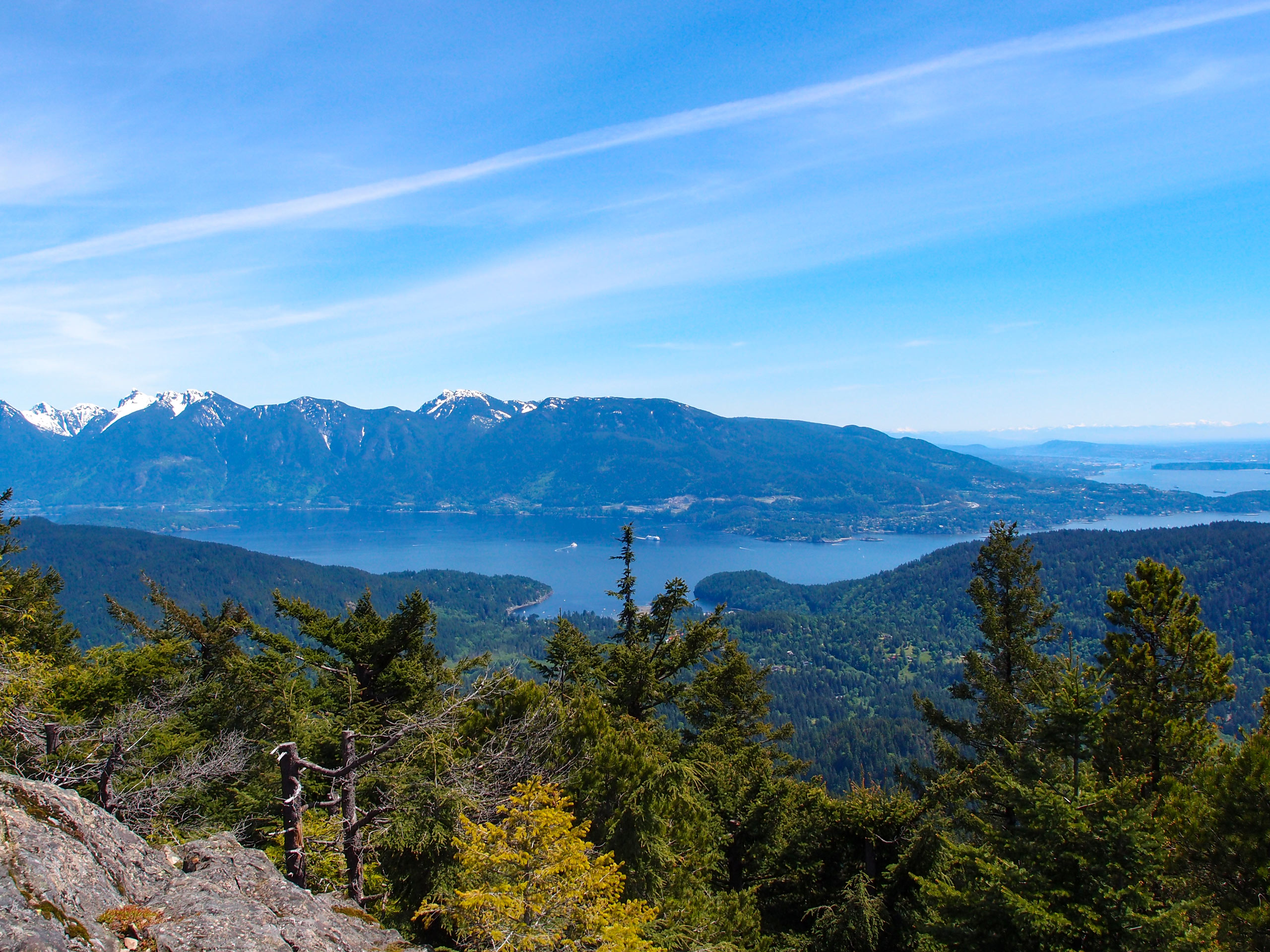
Mount Gardner Loop Trail
Difficulty Rating:
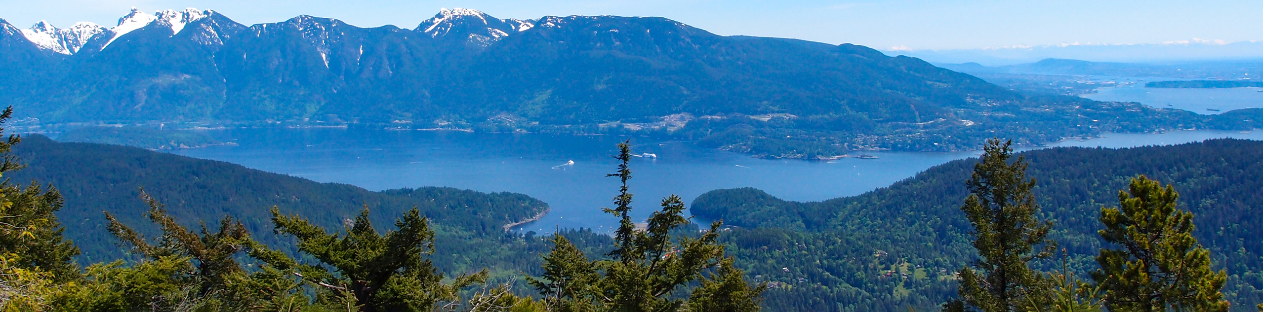
The Mount Gardner Loop Trail is a 6.0mi lollipop hiking circuit on Bowen Island that will take you up to a wooden viewing platform at the summit. From there, you will have a sweeping view that stretches west to Vancouver Island and east across the North Shore Mountains and the city of Vancouver. This is a fairly easy trail; however, it is poorly marked in places, meaning that you will need to bring a GPS or a good trail map to stay on the correct route.
Getting there
To get to the Mount Gardner Loop trailhead from the Horseshoe Bay Ferry, drive west on Bowen Island Trunk Road for 466.0mi and turn right onto Mount Gardner Road. Continue on for 1.4mi to reach the trailhead.

About
| When to do | Year-Round |
| Backcountry Campsites | No |
| Pets allowed | Yes |
| Family friendly | Older Children only |
| Route Signage | Poor |
| Crowd Levels | High |
| Route Type | Lollipop |
Mount Gardner Loop Trail
Elevation Graph
Weather
Mount Gardner Trail Description
Located on Bowen Island to the northwest of Vancouver and easily accessible by ferry, the Mount Gardner Loop Trail is a fun hiking route that will lead you through a beautiful stretch of forest toward a viewing platform that offers a stunning array of scenery. While the trail isn’t really technical, there are a few steep sections that can become fairly icy/slippery. If you are completing this hike during the shoulder seasons, make sure to bring microspikes for a better grip.
The trail sets out from the forested base of the mountain and follows alongside Kill Creek for a short distance before arriving at a fork. Take the so-called Hiker’s Trail to the right to climb up a few short but steep inclines that will see you gain the majority of the elevation along the hike. Eventually, you will make your way up to the viewing platform, where you can enjoy spectacular views overlooking the majestic mountains of the North Shore, as well as Vancouver Island on a clear day. Continue to the southwest along the loop, where you will reach the Summit of Mount Gardner. Unfortunately, there aren’t any views from the forested peak, so you will need to continue on and descend along the southeastern face of the mountain. This route will eventually bring you back down to the trailhead where you began your journey.
Similar hikes to the Mount Gardner Loop Trail hike

Malaspina Switchback Trail
The Malaspina Switchback Trail is a 4.3mi out-and-back hiking route in Powell River, BC, that will take you…

Holly Branch Loop Hike
The Holly Branch Loop is a 3.7mi lollipop hiking route near Powell River, BC, that will take you…

Stillwater Bluffs Trail
The Stillwater Bluffs Trail is a 1.9mi lollipop hiking route along the Sunshine Coast that provides some amazing…
Comments