
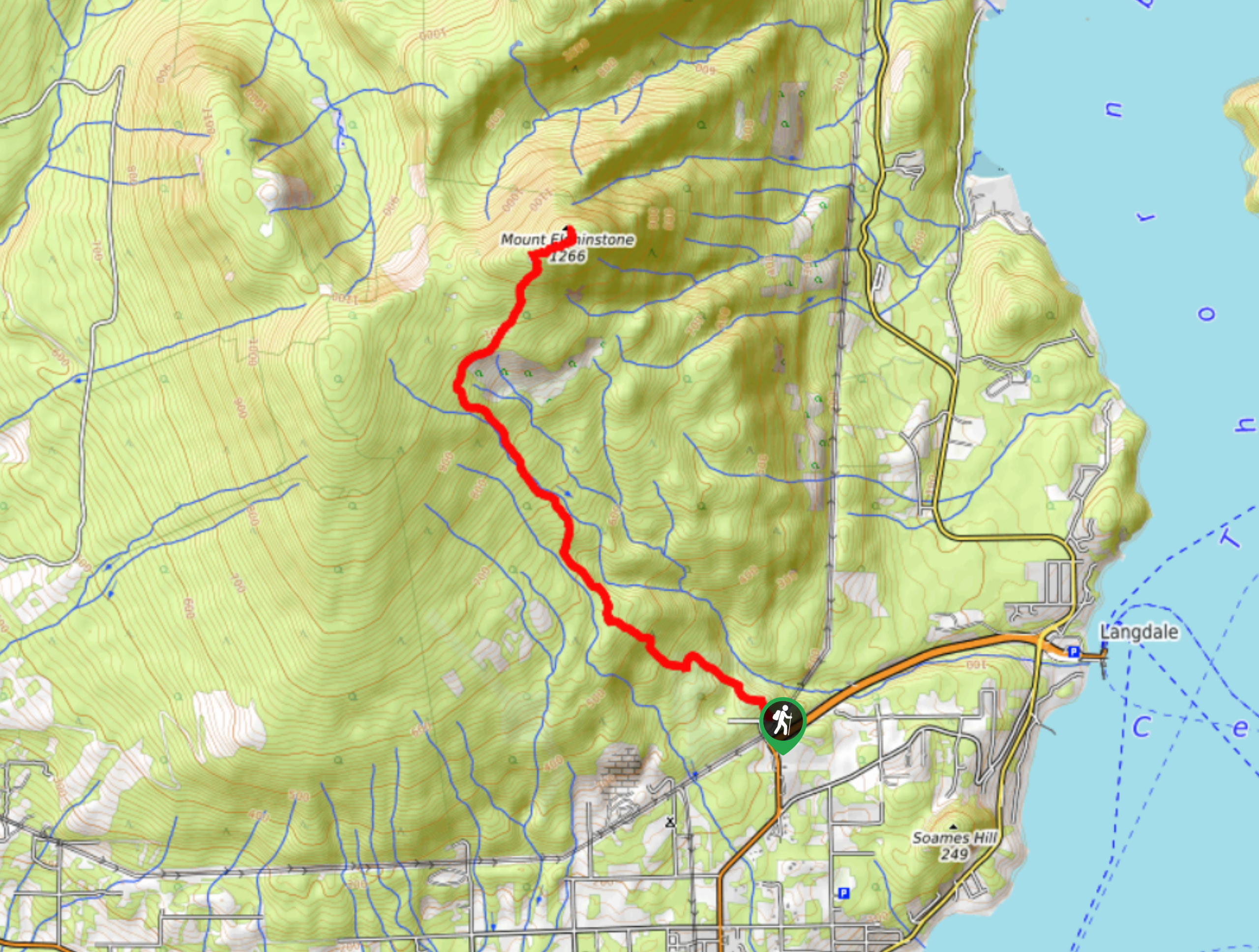
Mount Elphinstone Summit Trail
View Photos
Mount Elphinstone Summit Trail
Difficulty Rating:
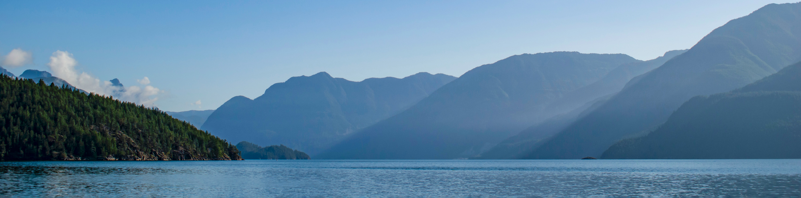
The Mount Elphinstone Summit Trail is a 7.6mi out-and-back hiking route near Gibsons, BC, that will take you up to a viewpoint overlooking Bowen Island and Howe Sound. This challenging route is a bit of a leg-burner, as it climbs sharply uphill with an elevation gain of 3494ft. Although steep, the trail is very well-maintained and easy to navigate, making it suitable for casual and experienced hikers that are looking for a tough hike.
Getting there
To reach the Mount Elphinstone Summit trailhead from Gibsons, head north on BC-101 for 1.2mi and turn left to stay on the highway. Continue on for another 2461ft before turning right onto Mountain Bike Park Road. The trailhead will be on the left in 213ft.

About
| When to do | June-October |
| Backcountry Campsites | No |
| Pets allowed | Yes |
| Family friendly | No |
| Route Signage | Average |
| Crowd Levels | Moderate |
| Route Type | Out and back |
Mount Elphinstone Summit Trail
Elevation Graph
Weather
Mount Elphinstone Summit Trail Description
Hiking the Mount Elphinstone Summit Trail is a surefire way to get your daily steps in and then some. The trail follows a very steep grade up to the viewpoint at the summit, where the amazing views over the Sunshine Coast should help you to forget about the physically demanding climb to attain them. Hikers should make sure to bring microspikes and/or hiking poles to aid you during the steep climb, as the trail can become fairly icy at certain times of the year.
The trail sets out from the Sprockids Trail Recreation Site along the southern slope of the mountain and immediately enters into a beautiful stretch of forest. At the initial fork, head left to begin your climb to the summit in a northwestern direction. After pushing through the dense cover of the forest for a few kilometres, you will eventually arrive at the viewpoint at the summit. From here, you can enjoy the amazing views that stretch across Howe Sound to Bowen Island, and west across the Strait of Georgia. After taking in the views, head back down the same route to return to the trailhead.
Similar hikes to the Mount Elphinstone Summit Trail hike
Saltery Bay and Rainy Day Lake Loop
The Saltery Bay and Rainy Day Lake Loop is an 11.4mi lollipop hiking route near Powell River, BC,…
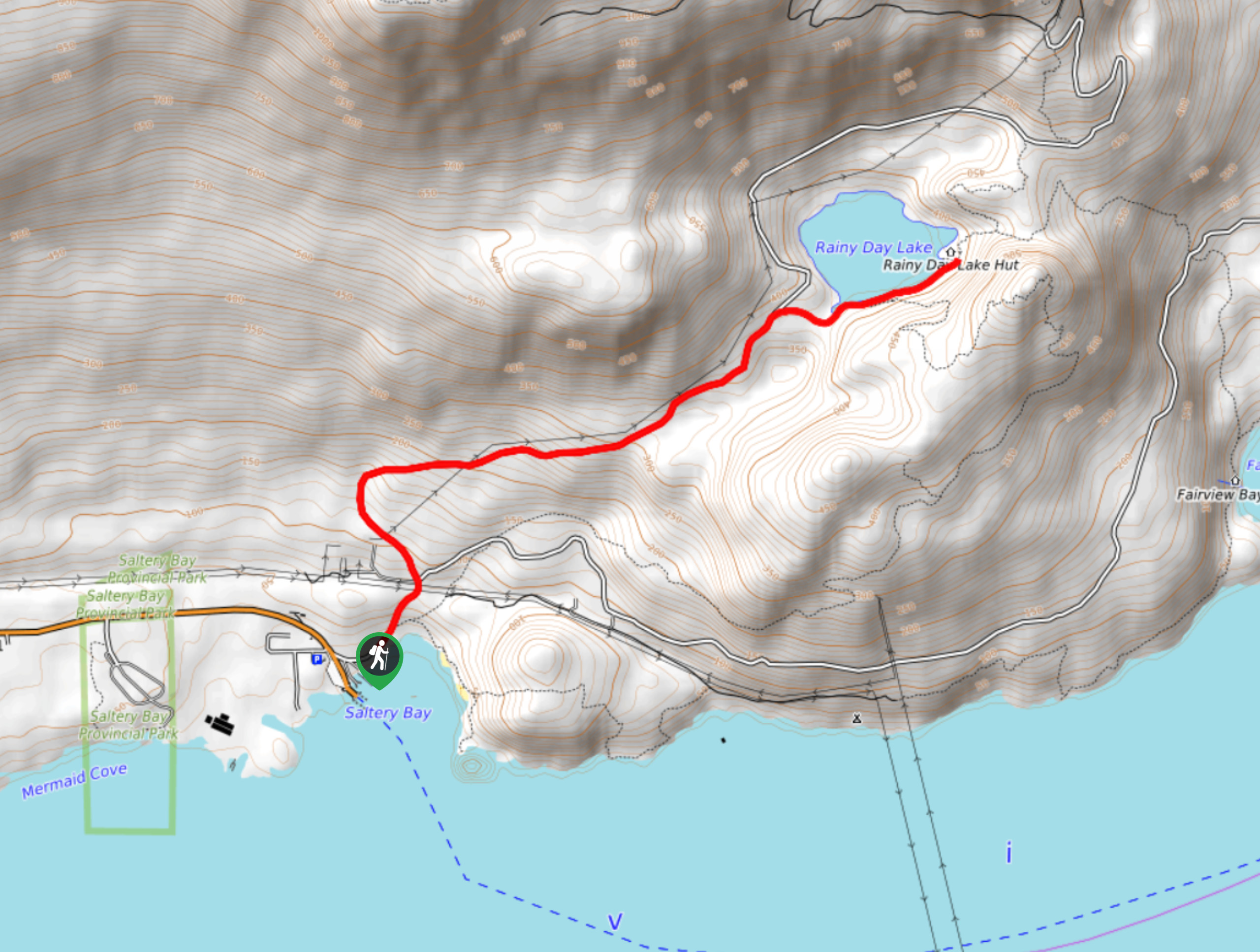
Rainy Day Lake Hike
The hike out to Rainy Day Lake follows an 5.1mi out-and-back route near Powell River, BC, that sets…
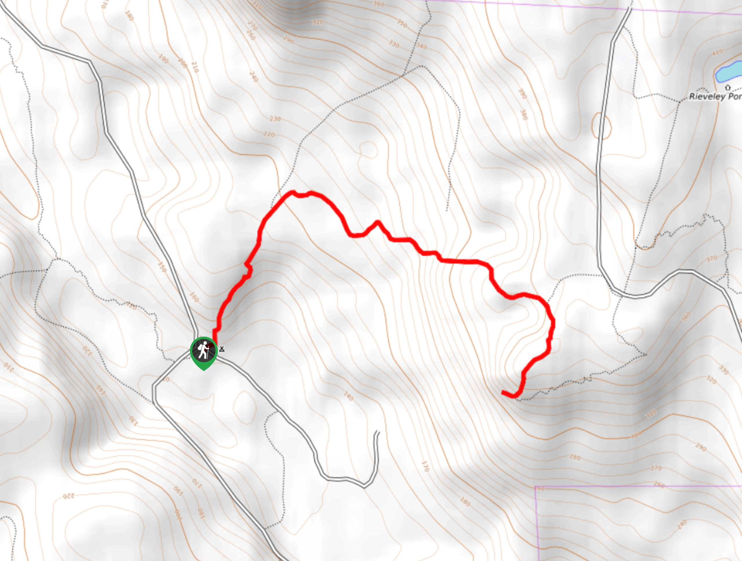
Gibraltar Lookout Hike
The journey to the Gibraltar Lookout follows a 3.8mi out-and-back hiking route that climbs uphill through the forest…
Comments