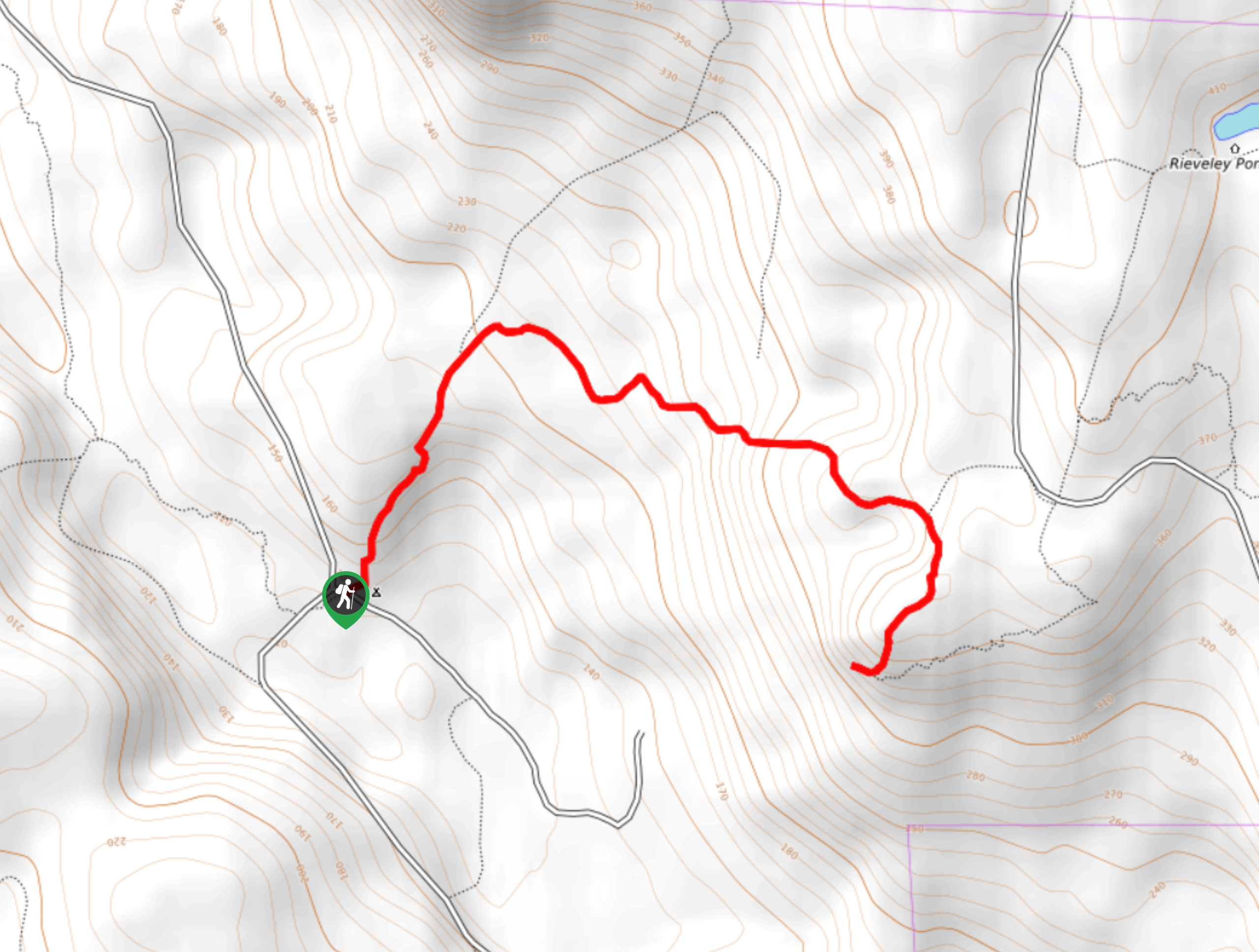
Mount Gardner SW Trail
View Photos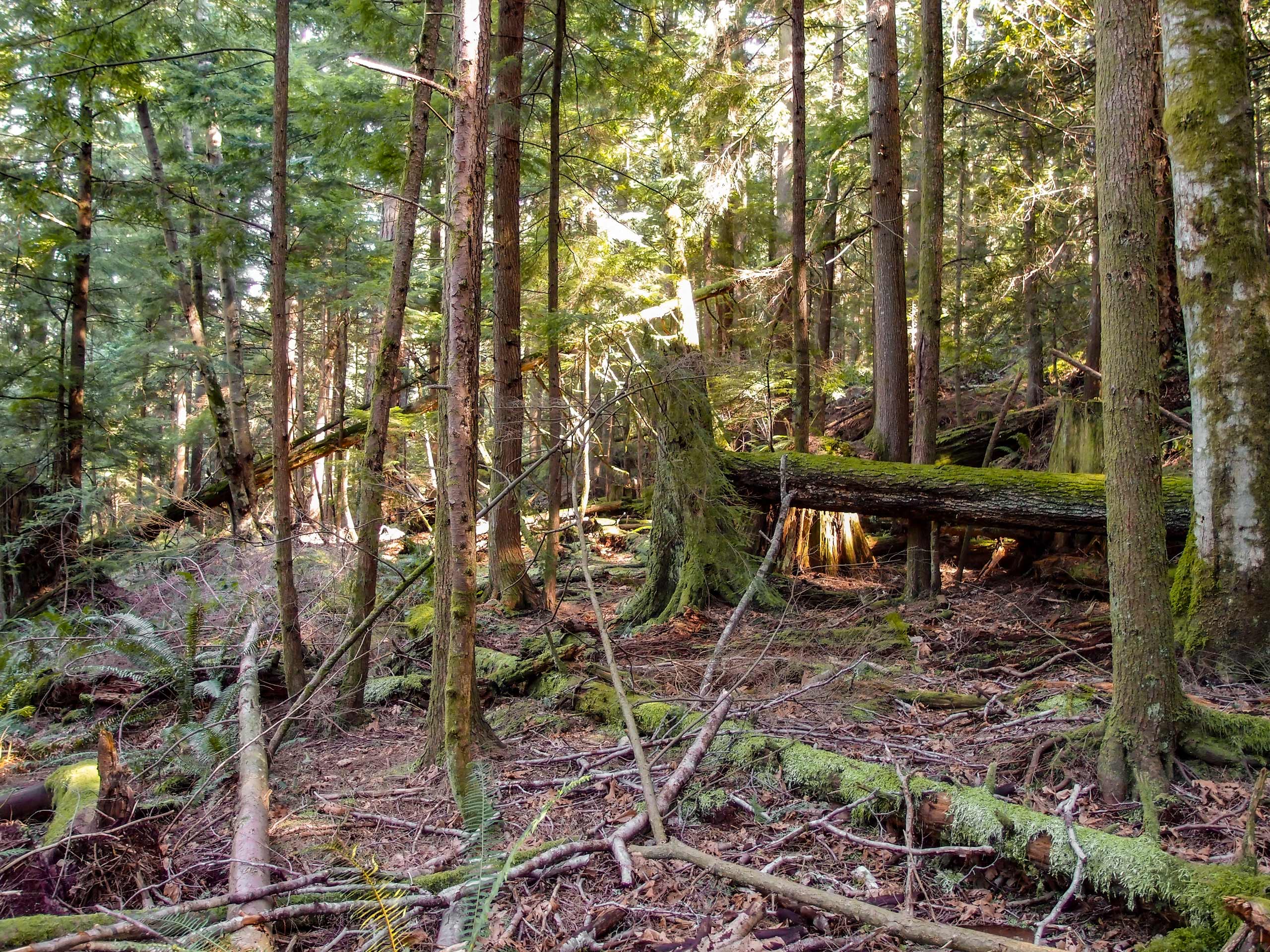
Mount Gardner SW Trail
Difficulty Rating:
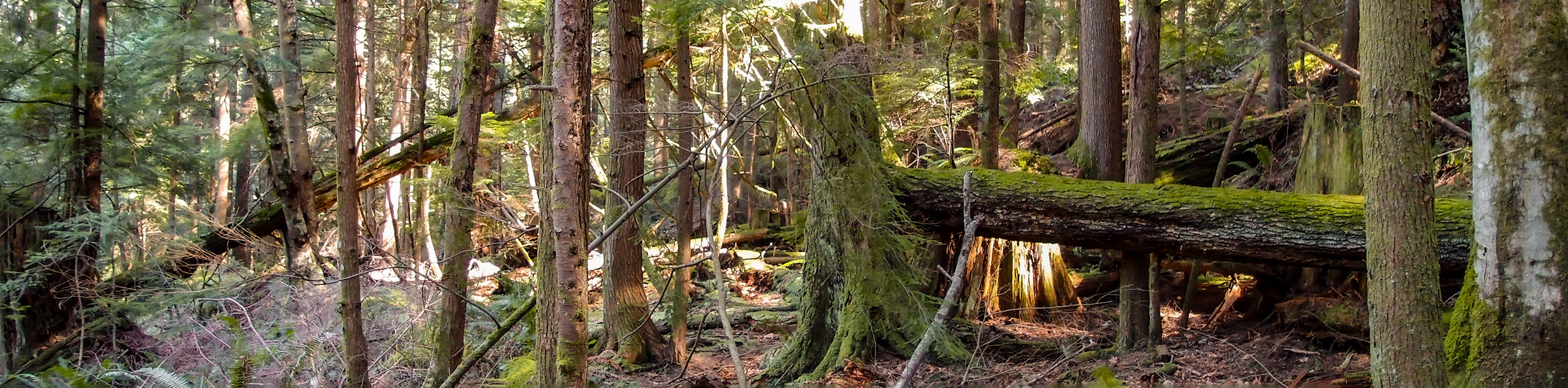
The Mount Gardner SW Trail is a 3.8mi out-and-back hiking route on Bowen Island that will take you up the southwestern side of the mountain to reach the scenic viewing platform just past the summit. Along the trail, you will experience a serene forest setting as you climb your way up the steep switchbacks, as well as amazing views overlooking mainland BC to the east and Vancouver Island to the west. This is a steep trail and can become icy during the shoulder seasons. Come prepared with any necessary equipment to safely reach the top of the trail.
Getting there
To reach the parking area for the Mount Gardner SW Trail from the Snug Cove Ferry Terminal, head west on Bowen Island Trunk Road for 2461ft and continue straight onto Grafton Road. Follow this for 3.8km and turn left to stay on the same road for another 328ft. Make a right onto Adams Road and follow it for 1.1mi, before turning right onto Bowen Bay Road. After 656ft, turn right onto Westside Road and follow it for 1312ft. Make a left onto Laura Road and you will find the trailhead straight ahead in 820ft.

About
| When to do | Year-Round |
| Backcountry Campsites | No |
| Pets allowed | Yes |
| Family friendly | No |
| Route Signage | Average |
| Crowd Levels | Moderate |
| Route Type | Out and back |
Mount Gardner SW Trail
Elevation Graph
Weather
Mount Gardner SW Trail Description
Although less popular than the standard route to the summit, the Mount Gardner SW Trail is a great way to gain a different perspective of Bowen Island and the mountain itself. The trail climbs sharply uphill along a series of switchbacks that will take you up the heavily forested summit of the mountain. Pushing a bit further past the summit will yield some amazing panoramic views from the wooden platform that stretch out to the mainland and across the Strait of Georgia toward Vancouver Island to the west. After taking in the views, carefully make your way back along the same trail to return to the trailhead.
Similar hikes to the Mount Gardner SW Trail hike
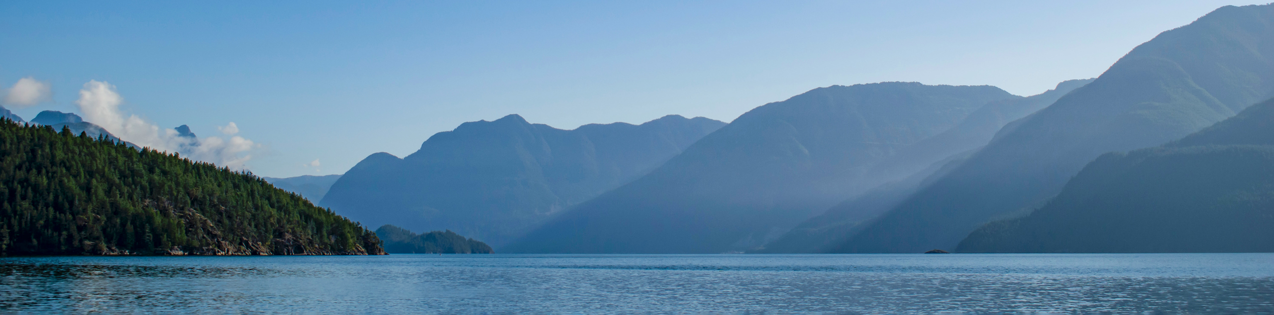
Saltery Bay and Rainy Day Lake Loop
The Saltery Bay and Rainy Day Lake Loop is an 11.4mi lollipop hiking route near Powell River, BC,…
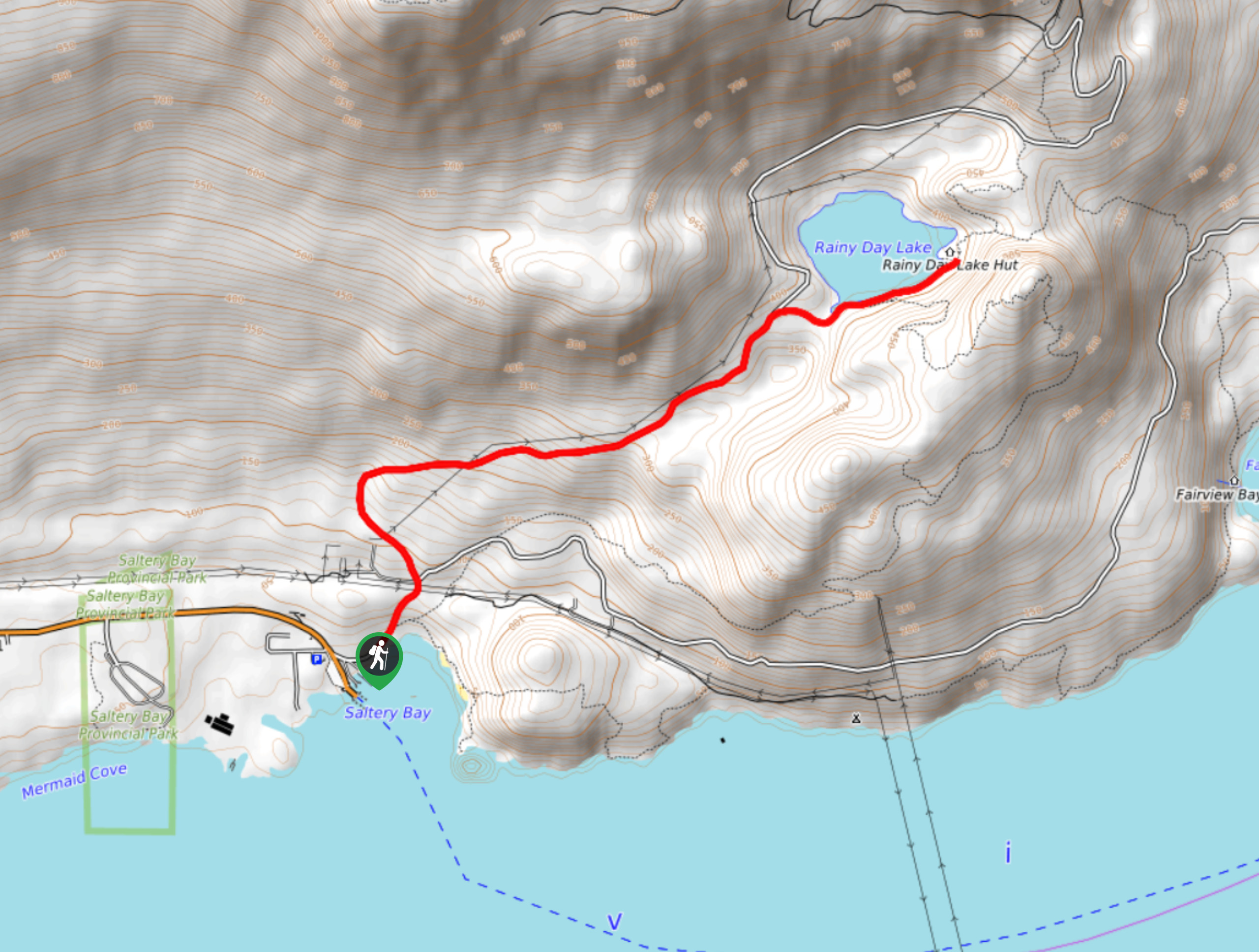
Rainy Day Lake Hike
The hike out to Rainy Day Lake follows an 5.1mi out-and-back route near Powell River, BC, that sets…
Gibraltar Lookout Hike
The journey to the Gibraltar Lookout follows a 3.8mi out-and-back hiking route that climbs uphill through the forest…
Comments