McNair Lake Trail
View Photos
McNair Lake Trail
Difficulty Rating:
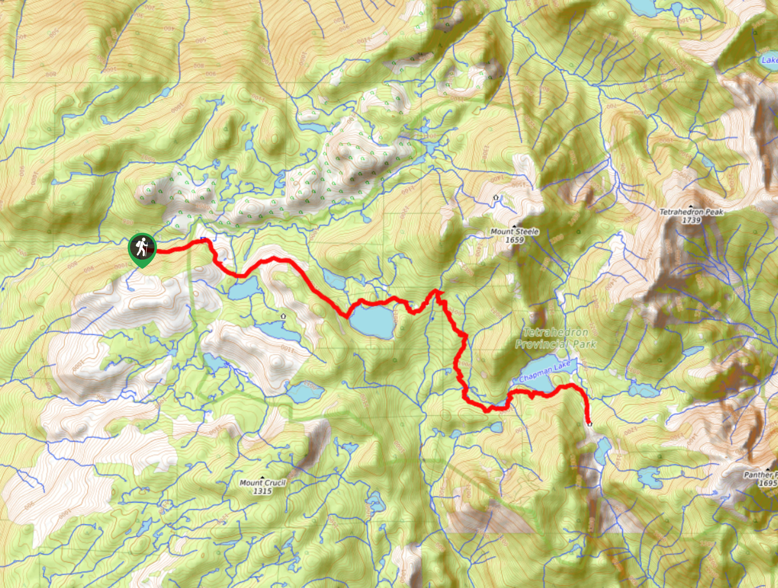
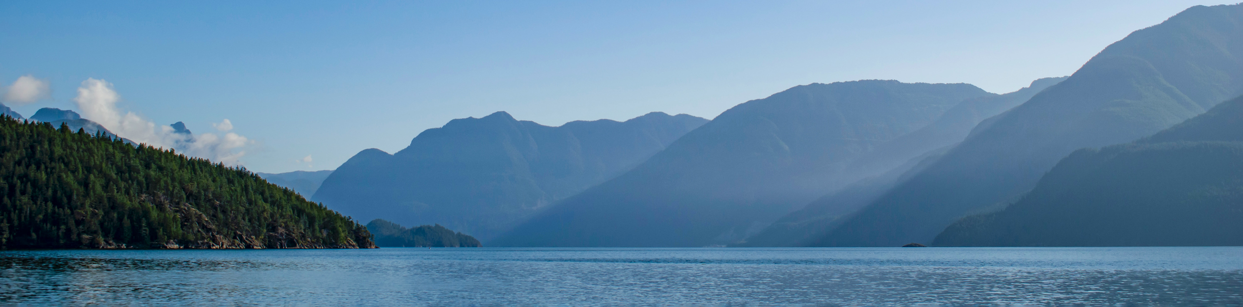
The McNair Lake Trail is a 14.1mi out-and-back hiking route in Tetrahedron Provincial Park that will take you on an adventure to visit several scenic backcountry lakes. Along the route, you will make your way through beautiful meadows, enchanting forests, and rugged uphill terrain to arrive at the shores of McNair Lake. For those hikers looking to camp overnight in the park, bookings can be pre-arranged for the Edwards and McNair cabins that are found along this route.
Getting there
To access the McNair Lake Trail from Sechelt, drive north along Wharf Avenue for 1640ft and make a right turn on E Porpoise Bay Road. Continue straight after 1476ft onto Sechelt Inlet Road and continue along it for 5.0mi. Make a right on Todd Roadand follow it for 2297ft, before turning right once again onto Carmel Place. In 1476ft, turn left and continue for 5.8mi to reach the trailhead on your right.

About
| When to do | April-October |
| Backcountry Campsites | Edwards Cabin, McNair Cabin |
| Pets allowed | No |
| Family friendly | No |
| Route Signage | Average |
| Crowd Levels | Low |
| Route Type | Out and back |
McNair Lake Trail
Elevation Graph
Weather
McNair Lake Trail Description
Although challenging, the McNair Lake Trail is a breathtaking hike that will take you through a variety of landscapes and pass by a number of scenic woodland lakes along the way. Setting out from the trailhead, make your way east through the forest as you enter Tetrahedron Provincial Park. The trail will intermittently work through areas of cleared meadow and dense forest, as you pass by the serene waters of the Tannis, Gilbert, and Edwards lakes. After passing Edwards Lake and the cabin that can be found nearby, follow the trail to the south to avoid making your way up Mount Steele, which is a fun adventure for another day. Eventually, you will skirt around the southern edge of Chapman Lake before arriving at the end of the trail near McNair Lake. Take some time to explore the area and absorb the amazing scenery before heading back along the trail to return to your vehicle.
Similar hikes to the McNair Lake Trail hike
Saltery Bay and Rainy Day Lake Loop
The Saltery Bay and Rainy Day Lake Loop is an 11.4mi lollipop hiking route near Powell River, BC,…
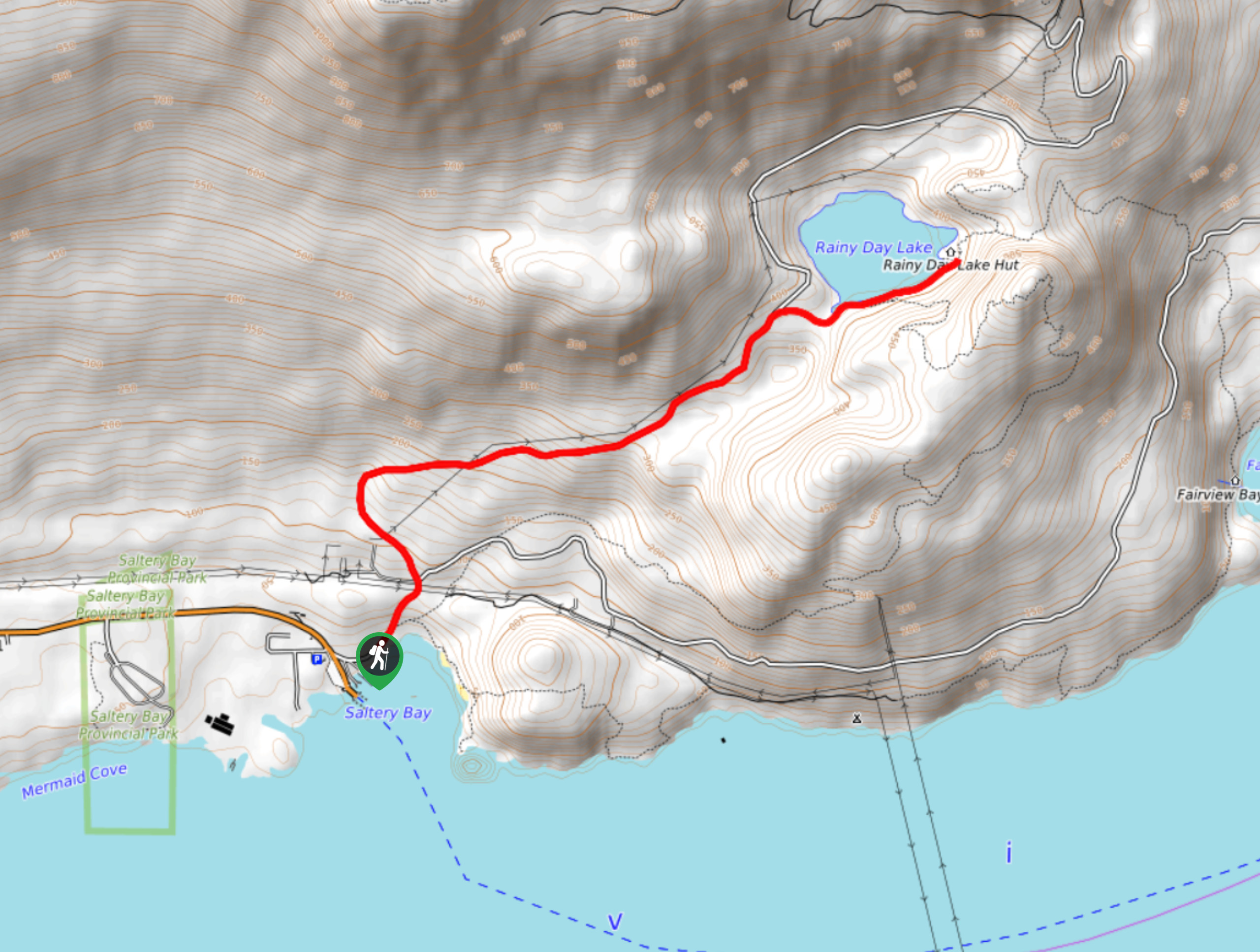
Rainy Day Lake Hike
The hike out to Rainy Day Lake follows an 5.1mi out-and-back route near Powell River, BC, that sets…
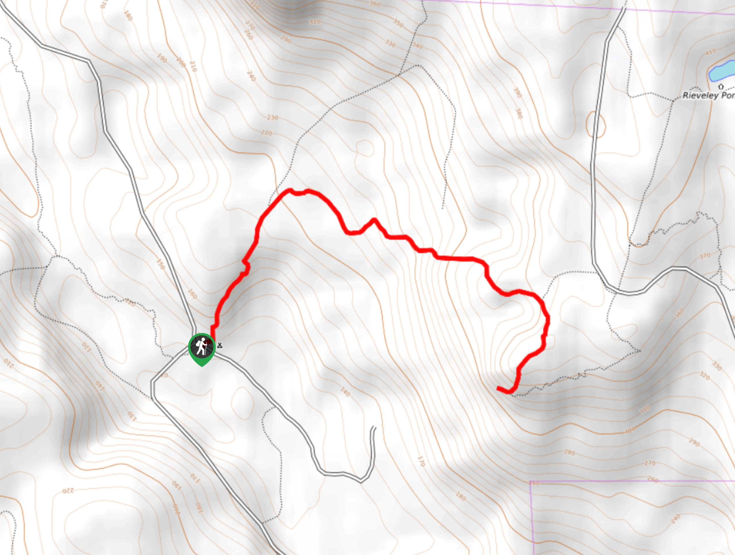
Gibraltar Lookout Hike
The journey to the Gibraltar Lookout follows a 3.8mi out-and-back hiking route that climbs uphill through the forest…
Comments