Edwards and Tannis Lakes Loop
View Photos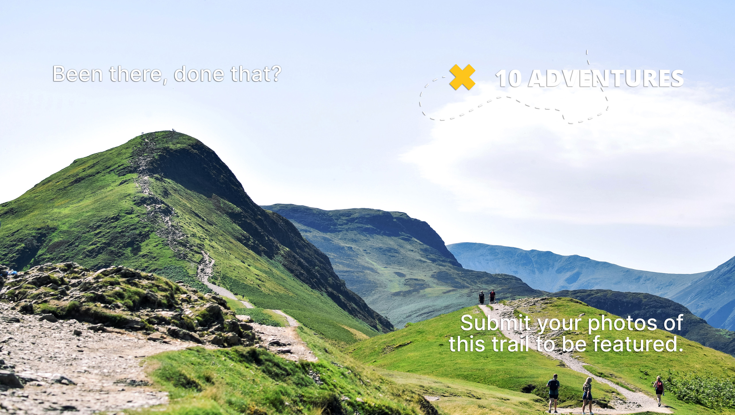
Edwards and Tannis Lakes Loop
Difficulty Rating:
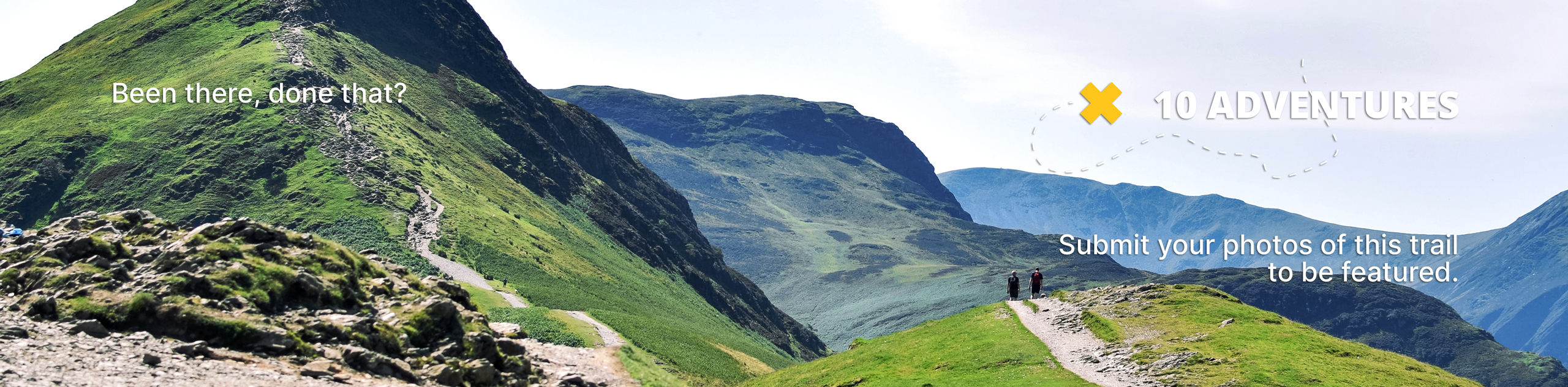
The Edwards and Tannis Lakes Loop is an 5.0mi lollipop hiking route north of Sechelt, BC, that will take you through the forest to visit several breathtaking lakes. Located within Tetrahedron Provincial Park, this trail traverses a mix of dense forest and beautiful open meadows on the way to Edwards Lake before looping through the trees along the northern edge of Tannis Lake. This is a great hike if you are looking for a serene forest setting with some intermittent views of nearby mountains and lakes.
Getting there
To get to the parking area for the Edwards and Tannis Lakes Loop from Sechelt, make your way north along Wharf Ave for 1640ft and turn right onto E Porpoise Bay Rd. After 1476ft, make your way onto Sechelt Inlet Rd and follow it for 5.0mi. Turn right here onto Todd Rd and continue along it for 2297ft. Turn right onto Carmel Pl, and in 1476ft, make a left turn. Continue for 5.8mi, and you will find the trailhead on your right.

About
| When to do | April-September |
| Backcountry Campsites | Edwards Cabin, Batchelor Lake Cabin |
| Pets allowed | No |
| Family friendly | Older Children only |
| Route Signage | Average |
| Crowd Levels | Moderate |
| Route Type | Lollipop |
Edwards and Tannis Lakes Loop
Elevation Graph
Weather
Edwards and Tannis Lakes Trail Description
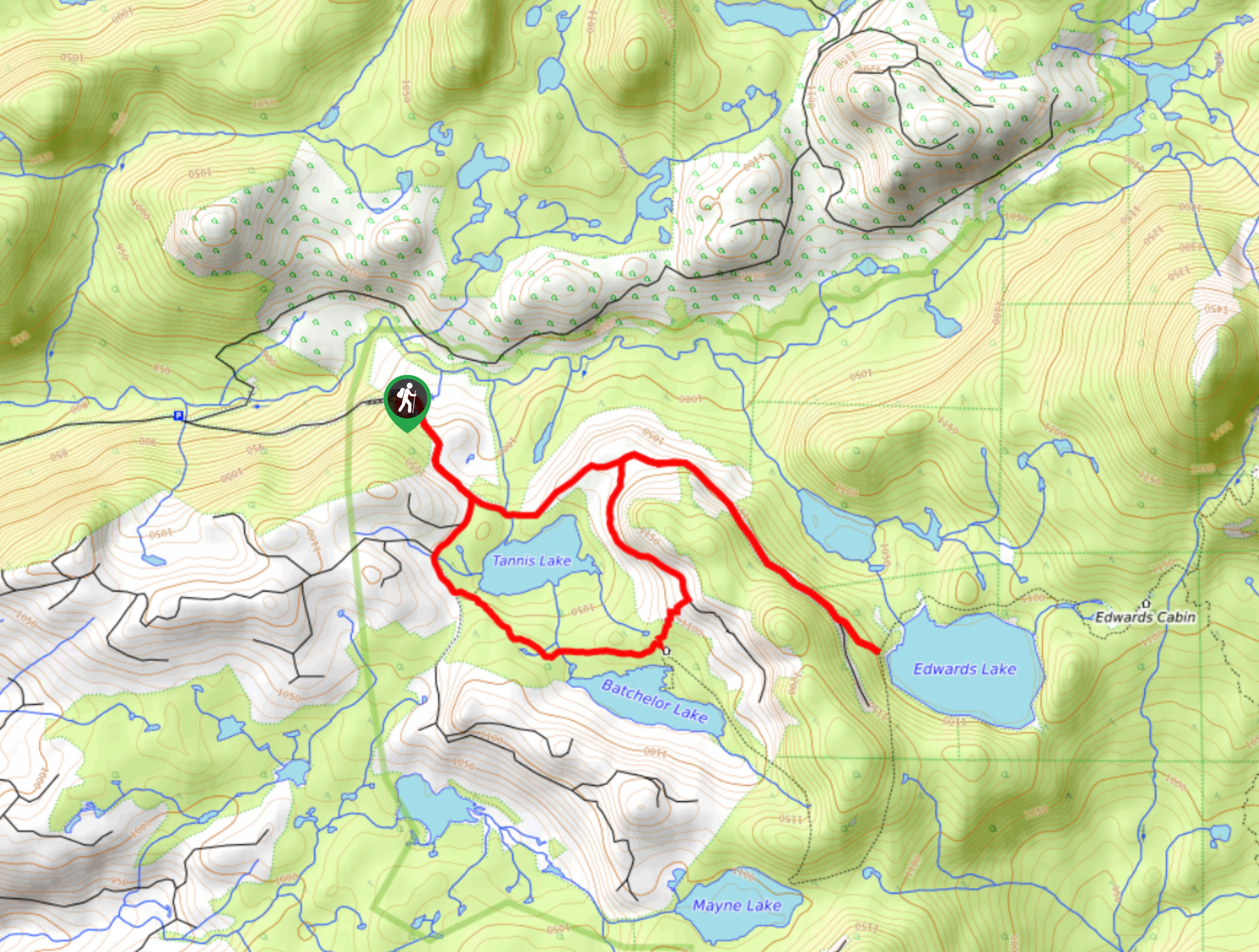
Hiking the Edwarda and Tannis Lakes Loop is a fun and accessible way to get out and experience the natural beauty of Tetrahedron Provincial Park. With a moderate length, small amount of elevation gain, and fairly easy terrain; this trail offers a more casual hiking experience when compared to some other routes within the park. Setting out from the trailhead, follow the route to the southeast as you work your way through the forest to a junction in the trail. Take the path to the right and follow it as it passes between Tannis and Batchelor Lake. The trail will cross over several creeks and turn north to meet back up with the main trail. Follow this right to continue on to the shore of Edwards Lake, where you will have an amazing view overlooking its calm water. After taking in the views, head back along the trail and pass straight through the junctions to skirt around the northern edge of Tannis Lake and arrive back at the trailhead.
Similar hikes to the Edwards and Tannis Lakes Loop hike

Malaspina Switchback Trail
The Malaspina Switchback Trail is a 4.3mi out-and-back hiking route in Powell River, BC, that will take you…

Holly Branch Loop Hike
The Holly Branch Loop is a 3.7mi lollipop hiking route near Powell River, BC, that will take you…

Stillwater Bluffs Trail
The Stillwater Bluffs Trail is a 1.9mi lollipop hiking route along the Sunshine Coast that provides some amazing…
Comments