Killarney Lake Hike
View Photos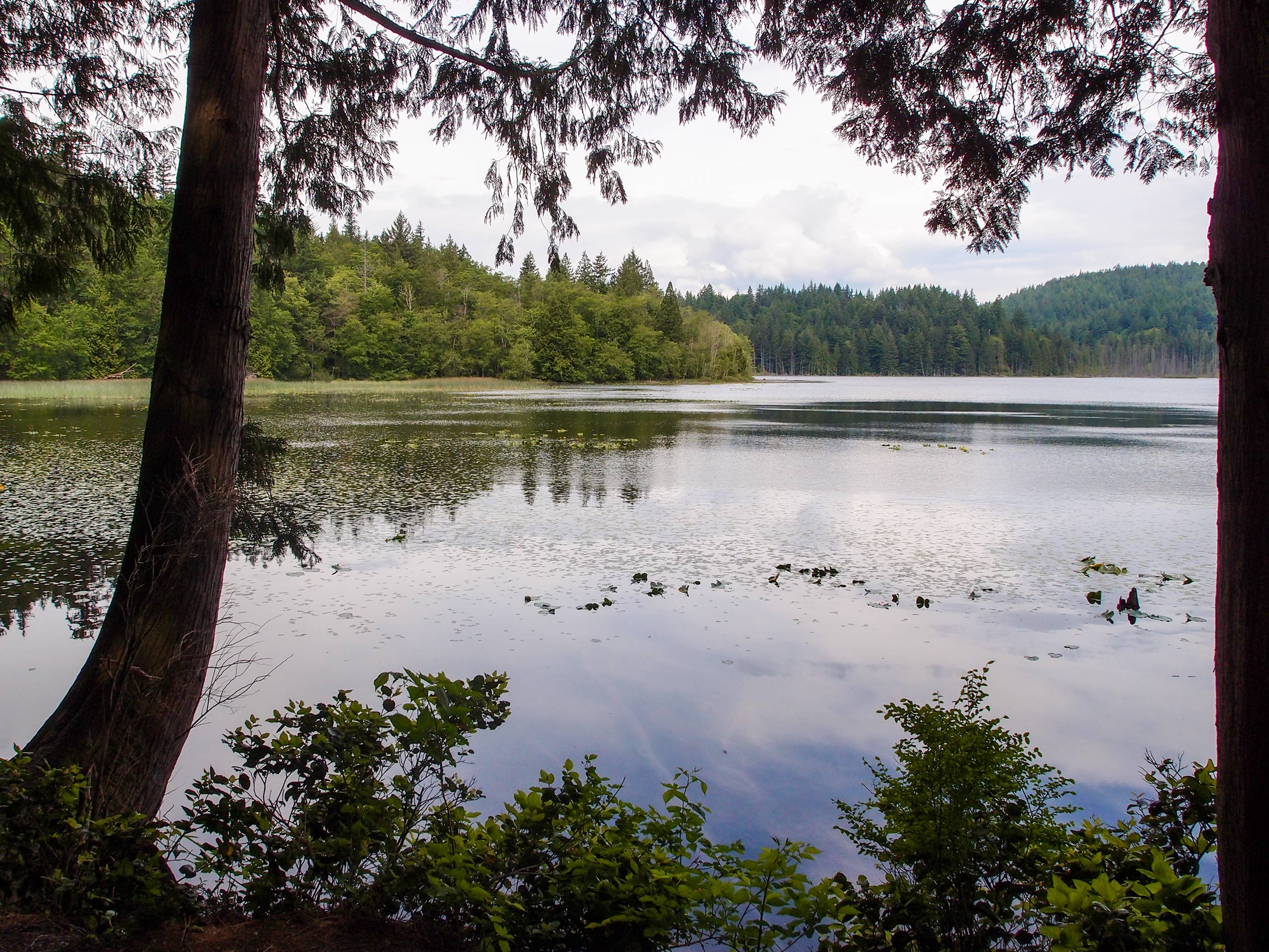
Killarney Lake Hike
Difficulty Rating:
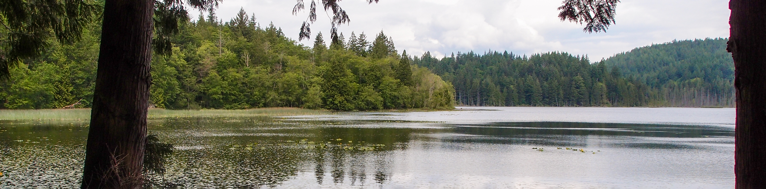
The trek around Killarney Lake follows a 4.9mi lollipop hiking route that traverses a variety of terrain and features breathtaking views across the water. Along the trail, you will experience the natural beauty of the Pacific temperate rainforest, as you hike along wooden boardwalks surrounded by ferns and skirt around the edges of the tranquil lake. This is the perfect hike on Bowen Island to complete with family and friends due to the easy nature of the trail and its proximity to the ferry.
Getting there
To reach the Killarney Lake trailhead from the Snug Cove Ferry Terminal, head west on Bowen Island Trunk Road for 2461ft, before turning right onto Mount Gardner Road. In 2297ft, you will find the trailhead on the right.

About
| When to do | Year-Round |
| Backcountry Campsites | No |
| Pets allowed | Yes - On Leash |
| Family friendly | Yes |
| Route Signage | Average |
| Crowd Levels | Moderate |
| Route Type | Lollipop |
Killarney Lake Hike
Elevation Graph
Weather
Killarney Lake Trail Description
The Killarney Lake trail is a fantastic day-hike option on Bowen Island that will expose you to the amazing scenery that can be found on this small island. The trail sets out from the parking area and enters into the forest before cutting through a small meadow and crossing over a creek on the way to the easternmost part of the trail. From there, the route heads to the northwest alongside Killarney Creek, with an amazing sightline stretching across the water. After working your way around the marshy northern tip of the lake, you will skirt around the edge of the lake and eventually arrive at a scenic viewing point with a small bench to sit and take in the breathtaking views of the surrounding landscape. After you’ve experienced the beauty of the lake, follow the trail to the east for about 2133ft and turn left to cut back across the meadow and return to the trailhead.
Similar hikes to the Killarney Lake Hike hike

Malaspina Switchback Trail
The Malaspina Switchback Trail is a 4.3mi out-and-back hiking route in Powell River, BC, that will take you…

Holly Branch Loop Hike
The Holly Branch Loop is a 3.7mi lollipop hiking route near Powell River, BC, that will take you…

Stillwater Bluffs Trail
The Stillwater Bluffs Trail is a 1.9mi lollipop hiking route along the Sunshine Coast that provides some amazing…
Comments