Augerpoint Beach hike
View Photos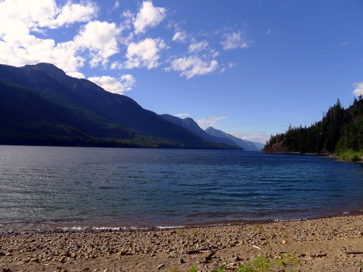
Augerpoint Beach hike
Difficulty Rating:
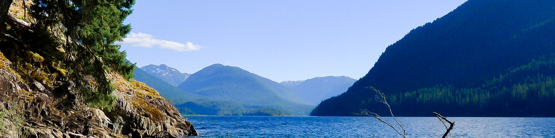
The family-friendly walk along Augerpoint Beach is an easy walk in Strathcona Provincial Park. While the hike on Augerpoint is easy, it also yields some of the best highway accessible views in the centre of Strathcona Provincial Park. On sunny days the beach is also a perfect spot to relax, suntan, and swim.
Getting there
From Campbell River head west along High 28 for just under 31.1mi. Just as you reach Buttle Lake you will come to a junction where you will continue strait following signs for the Westin Mine. Follow this road for just over 12.4mi before you see signs for the Augerpoint boat launch on your right. Pull into the small parking lot to begin the hike.

About
| When to do | Year Round |
| Backcountry Campsites | No |
| Toilets | At trailhead |
| Family friendly | Yes |
| Route Signage | Average |
| Crowd Levels | Moderate |
| Route Type | Out and back |
Augerpoint Beach
Elevation Graph
Weather
Route Description for Augerpoint Beach
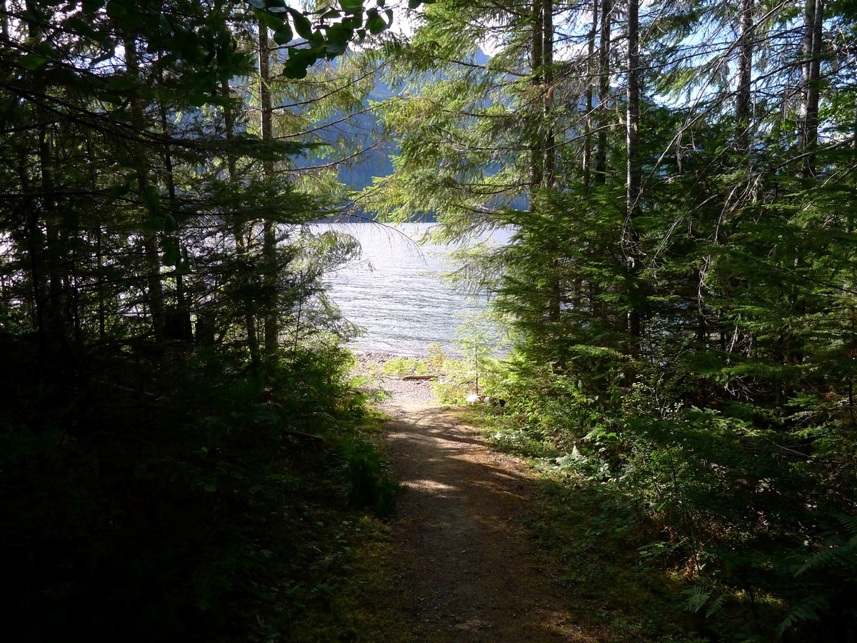
From the parking area follow the well-maintained path down the boat launch, passing the various picnic areas along the way.
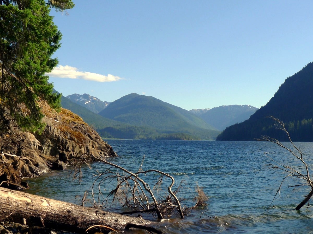
Shortly you will reach Augerpoint Beach. Directly across the immense Buttle Lake you will be able to see where the Phillips Creek meets the lake.
Glancing upwards you will see Marble Peak to the right, and the somewhat less impressive Phillips Peak to the left. Begin hiking left (south) along the beach to the southern end, where you will get a stunning view down the remainder of Buttle Lake, with Mt. Myra looming overhead. You get a very good impression of the scale of mountain in Strathcona park, seeing the full 4921ft rise of Myra towering above the lake.
Insider Hints
On hot days bring a towel and swimsuit to enjoy the refreshing water.
Many paddling opportunities exist on Buttle Lake.
This is a great stop after a hot day hiking some of the other Top 10 Hikes in Strathcona Provincial Park we have listed.

Similar hikes to the Augerpoint Beach hike
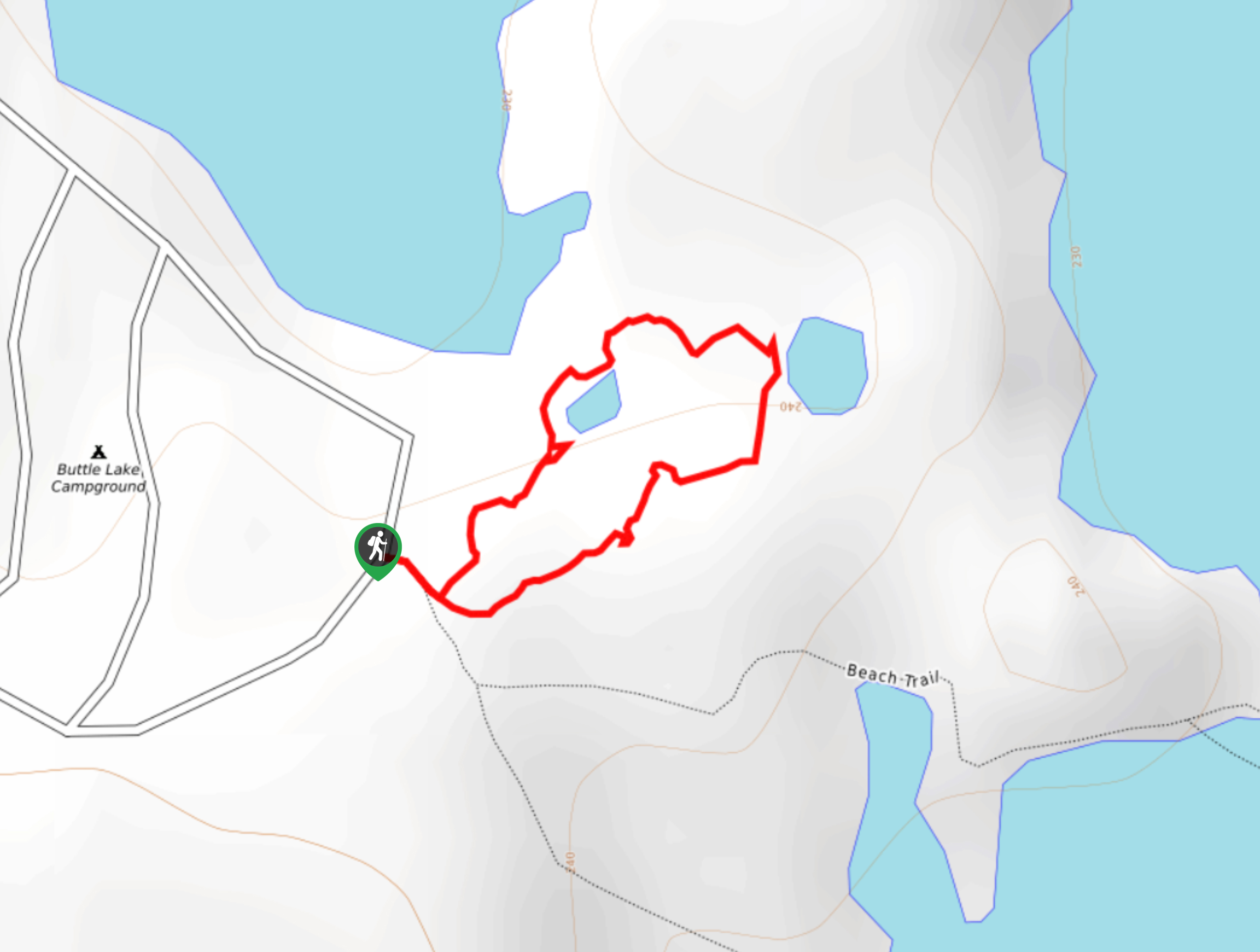
Three Pond Loop Trail
The Three Pond Loop Trail is a 0.4mi hiking route in Strathcona Provincial Park that passes through a…
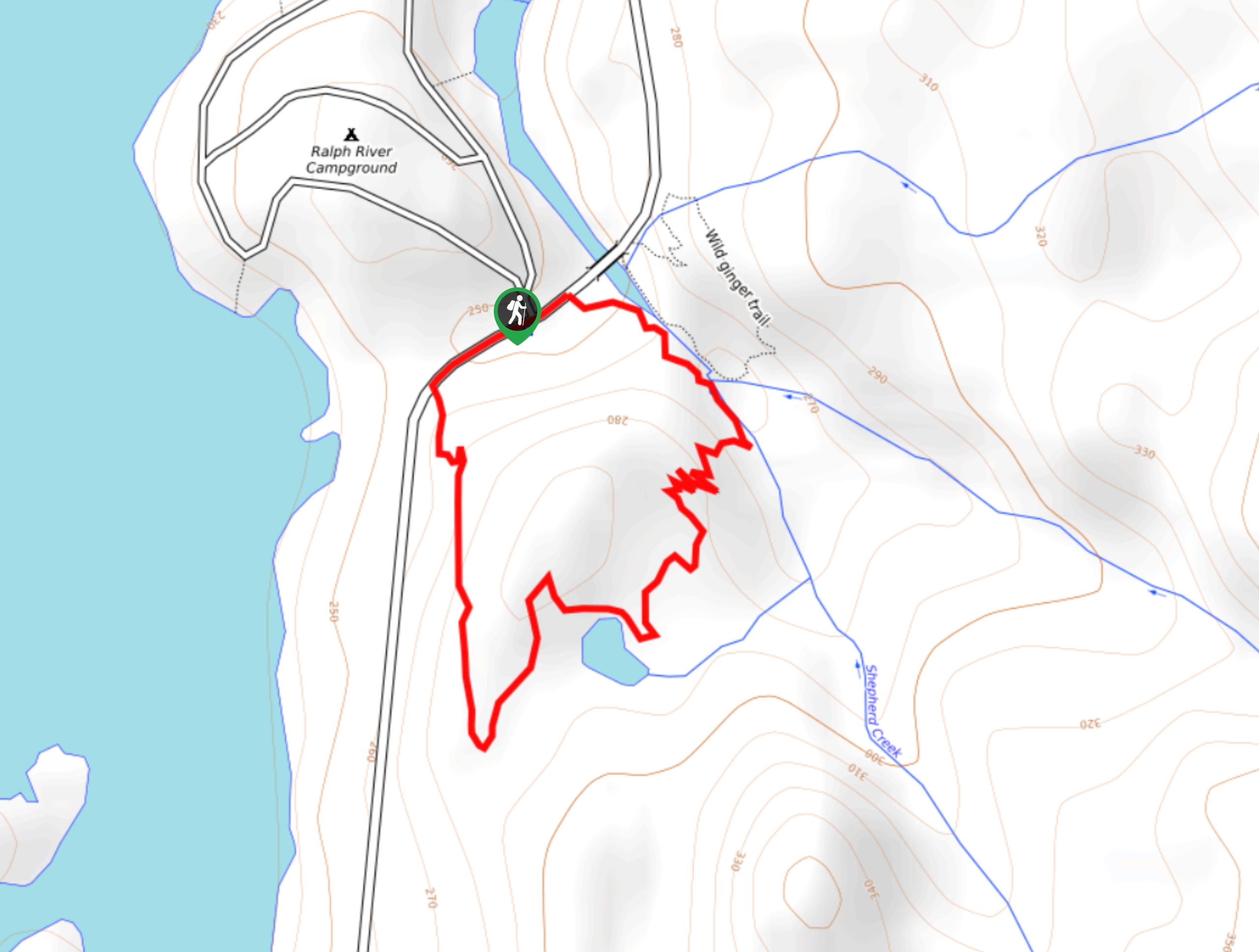
Shepherd Creek Trail
The Shepherd Creek Trail is a quick 1.1mi hike in Strathcona Provincial Park that offers a perfect way…
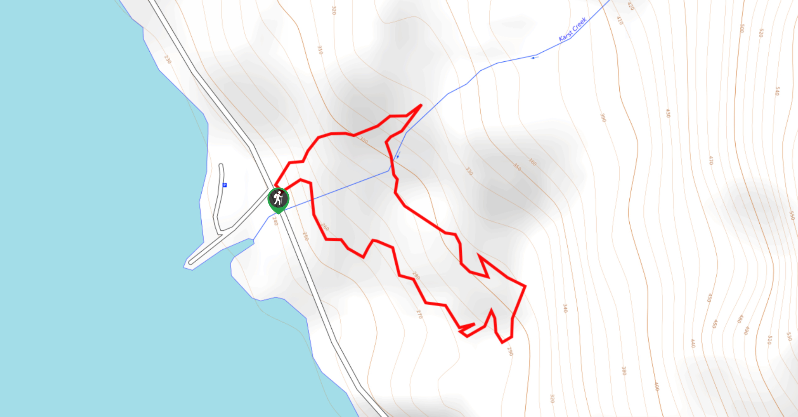
Karst Creek Trail
The Karst Creek Trail is a 0.8mi hiking loop that will take you through a beautiful stretch of…
Logan X. 4 years ago
A marvelous and relaxing site. Perfect for people of all ages.
RandyO 4 years ago
Awesome hike! We had so much fun during our hike here.
lukeboii 4 years ago
more of a quick walk than anything but it's a great beach in the summer
YukihiroSato 4 years ago
Easy walk in the park. Good thing I brought my sandwich!
HIllaryPNW 4 years ago
Easier than I expected, and well worth the effort! It’s wonderful from the start to the end.
Ethan Welch 4 years ago
It was an incredible day for all of us. Everything was amazing.
Tara Green 4 years ago
A small walk and a lovely beach
Joji L. 4 years ago
If you have time, you should definitely try paddling!
cartersans 4 years ago
It is the perfect place to cool down and chill! Take a refreshing dip or find a spot just to relax.
metamorphiks 5 years ago
I'm 99% sure that the trail was completely flat. If there was an elevation, I hardly noticed it.