
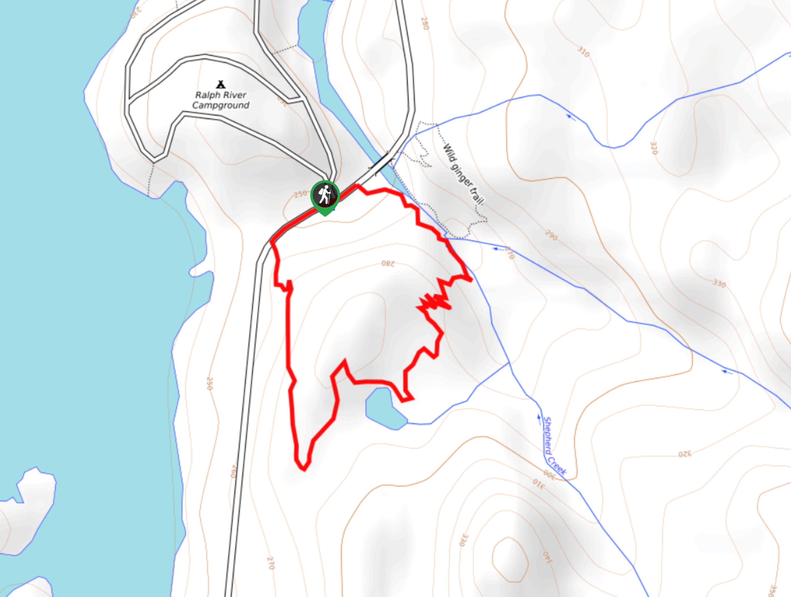
Shepherd Creek Trail
View Photos
Shepherd Creek Trail
Difficulty Rating:
The Shepherd Creek Trail is a quick 1.1mi hike in Strathcona Provincial Park that offers a perfect way to get out and explore the woodland landscape near the Ralph River Campground. While the trail is family-friendly, it also climbs up a series of small switchbacks that can make the route more difficult for some hikers. Along the route, you will have some excellent views of the terrain around Buttle Lake, including the rushing waters of Shepherd Creek and partial mountain views through the tree cover.
Getting there
To reach the parking area for the Shepherd Creek Trail from Campbell River, make your way west on BC-28 for 29.3mi and continue straight onto Westmin Road. Follow this south for 16.1mi to reach the trailhead.

About
| When to do | May-October |
| Backcountry Campsites | Ralph River Campground |
| Pets allowed | Yes - On Leash |
| Family friendly | Yes |
| Route Signage | Average |
| Crowd Levels | Low |
| Route Type | Circuit |
Shepherd Creek Trail
Elevation Graph
Weather
Shepherd Creek Trail Description
Although short, the Shepherd Creek Trail is a pleasant hike that climbs uphill through the forest alongside the creek and provides some views over the immediate area. The trail is primarily made up of dirt paths that form a series of switchbacks and alleviate the physical strain of the uphill climb.
Along the route hike, you can head down to the rushing waters of the creek to explore its shores, and you will also have some partial views of Mount Phillips standing tall across the lake. Near the top of the trail, hikers will pass by a small pond before beginning their descent through the beautiful forest landscape towards the Ralph River Campground. Hikers should note that the last stretch of the trail follows closely alongside the road, so exercise caution as there may be vehicles passing by.
Similar hikes to the Shepherd Creek Trail hike
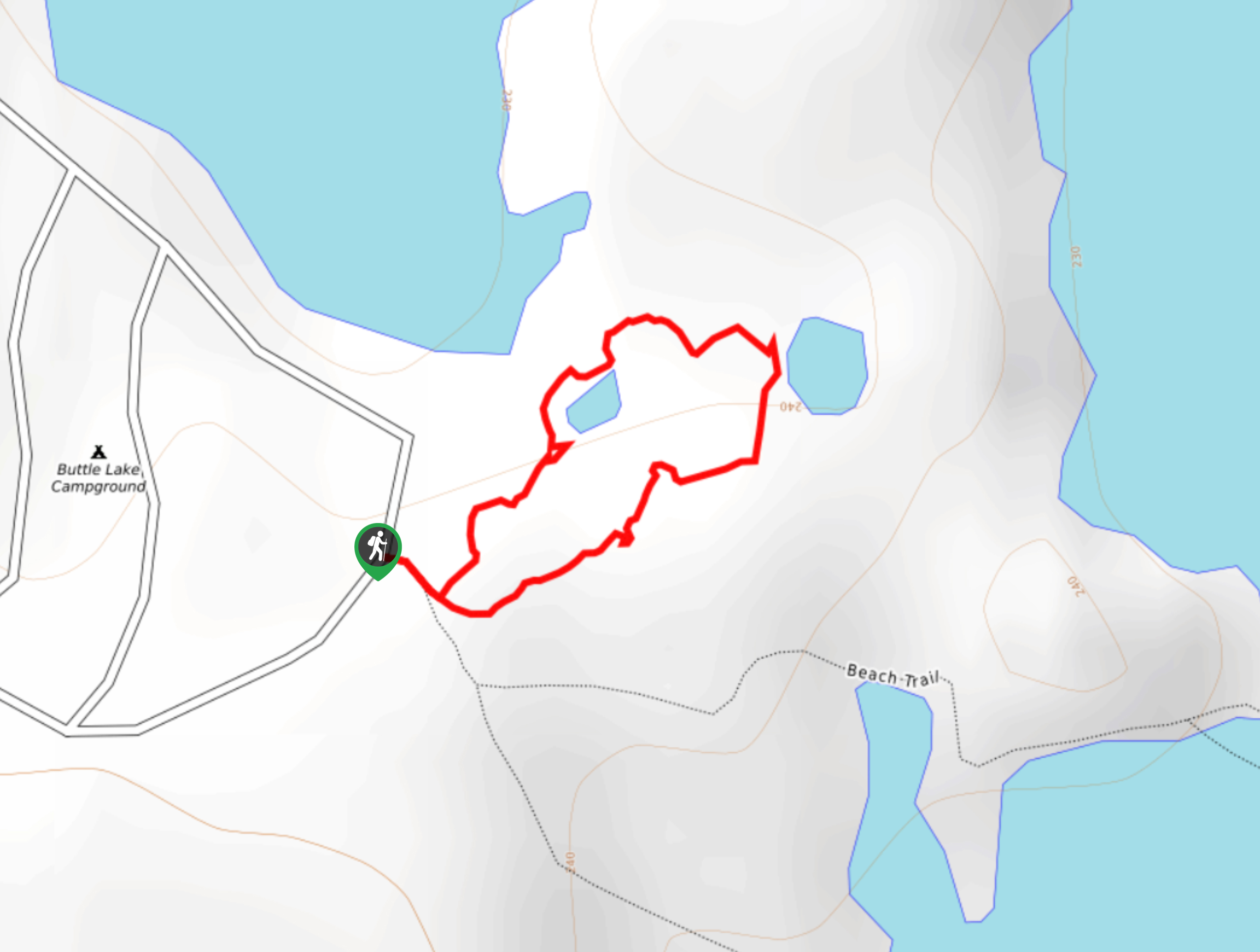
Three Pond Loop Trail
The Three Pond Loop Trail is a 0.4mi hiking route in Strathcona Provincial Park that passes through a…
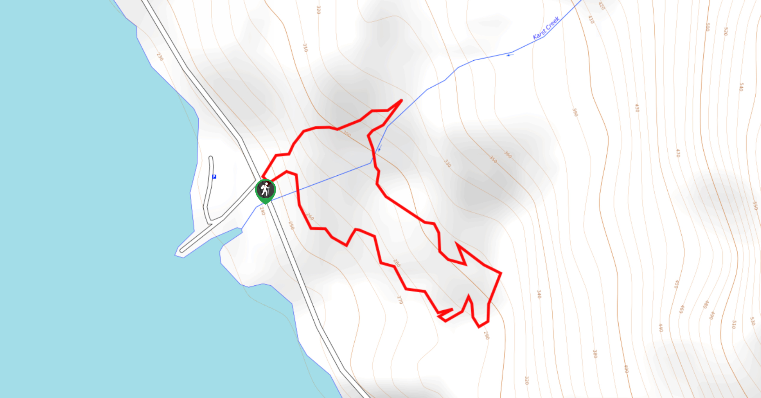
Karst Creek Trail
The Karst Creek Trail is a 0.8mi hiking loop that will take you through a beautiful stretch of…
Rossiter’s Rise Trail
The Rossiter’s Rise Trail is an overgrown hiking route in Strathcona Provincial Park that loops through the area around Paradise…
Comments