Rossiter’s Rise Trail
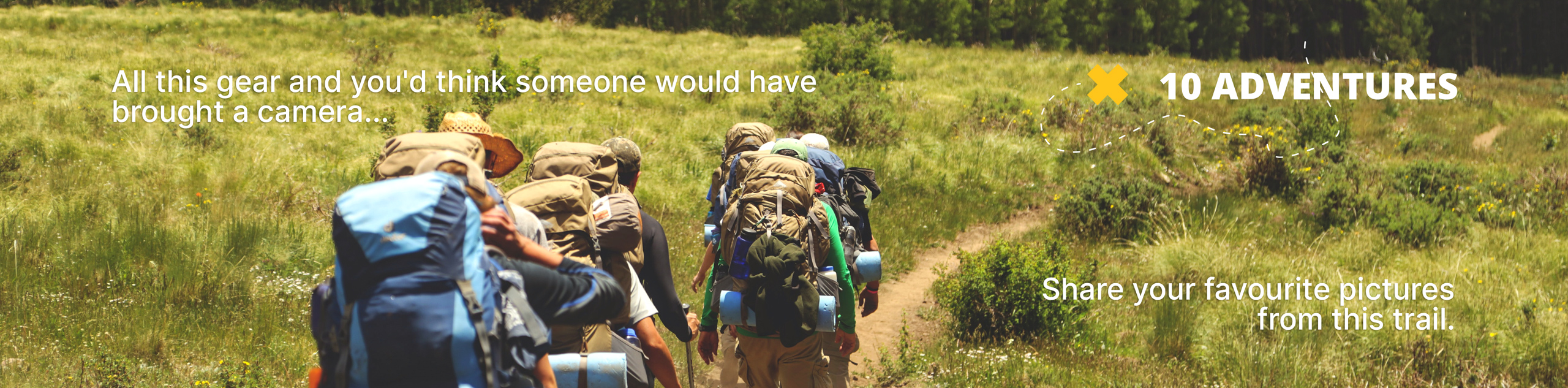
View Photos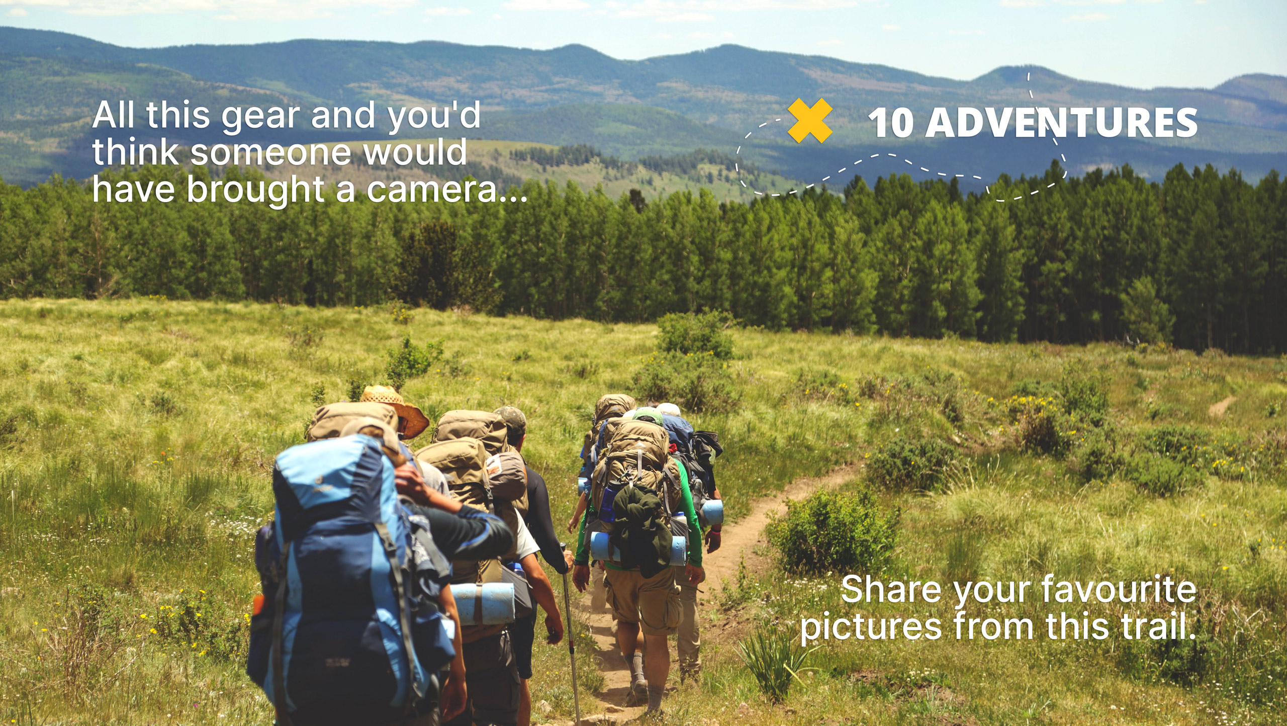
Rossiter’s Rise Trail
Difficulty Rating:
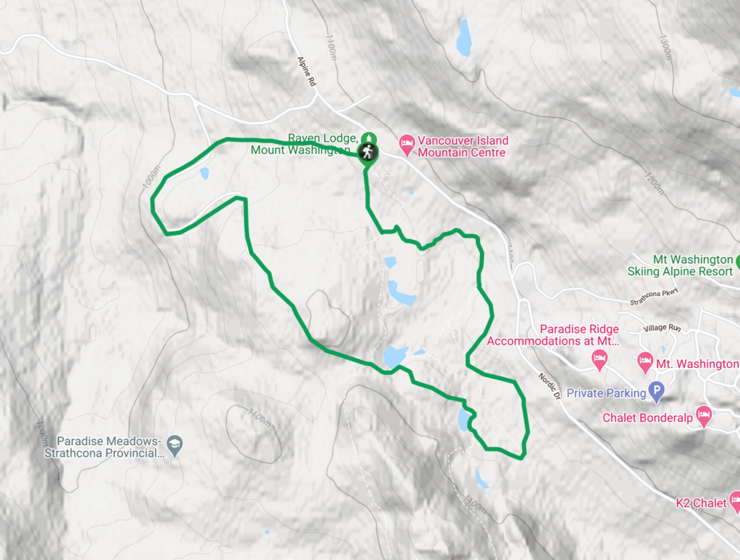
The Rossiter’s Rise Trail is an overgrown hiking route in Strathcona Provincial Park that loops through the area around Paradise Ponds along a 3.1mi track. The western portions of the trail are primarily used for snowshoeing, meaning that hikers will need to find their way through the overgrown terrain. The trail finishes along the scenic boardwalks around Paradise Ponds.
Getting there
To access the Rossiter’s Rise Trail from the Mount Washington Alpine Resort, make your way south on the Strathcona Parkway, turning right onto Nordic Drive after 0.8mi. Continue for 1.5mi to the Strathcona Park Wilderness Centre, where you will find a parking lot and the trailhead behind the Raven’s Lodge.

About
| When to do | May–October |
| Backcountry Campsites | No |
| Pets allowed | Yes - On Leash |
| Family friendly | Older Children only |
| Route Signage | Poor |
| Crowd Levels | Low |
| Route Type | Circuit |
Rossiter’s Rise Trail
Elevation Graph
Weather
Rossiter’s Rise Trail Description
Hiking along the Rossiter’s Rise Trail is no easy affair due to the rugged and overgrown terrain along the trail’s western edge. This stretch of land is primarily used for snowshoeing in the winter, and the route remains poorly maintained during the warmer months. Hikers will likely need to find their own route through the thick brush to reconnect with the trail loop near the Paradise Ponds.
Arriving back at the well-maintained boardwalk, hikers will make their way through the scenic stretch of forest and marshy terrain that makes up the easier leg of the route. Here, you will have the opportunity to spot local wildlife and admire the natural beauty of Strathcona. Make sure to bring bug spray if you plan on bushwhacking your way through the initial portion of this hike.
Similar hikes to the Rossiter’s Rise Trail hike
Three Pond Loop Trail
The Three Pond Loop Trail is a 0.4mi hiking route in Strathcona Provincial Park that passes through a…
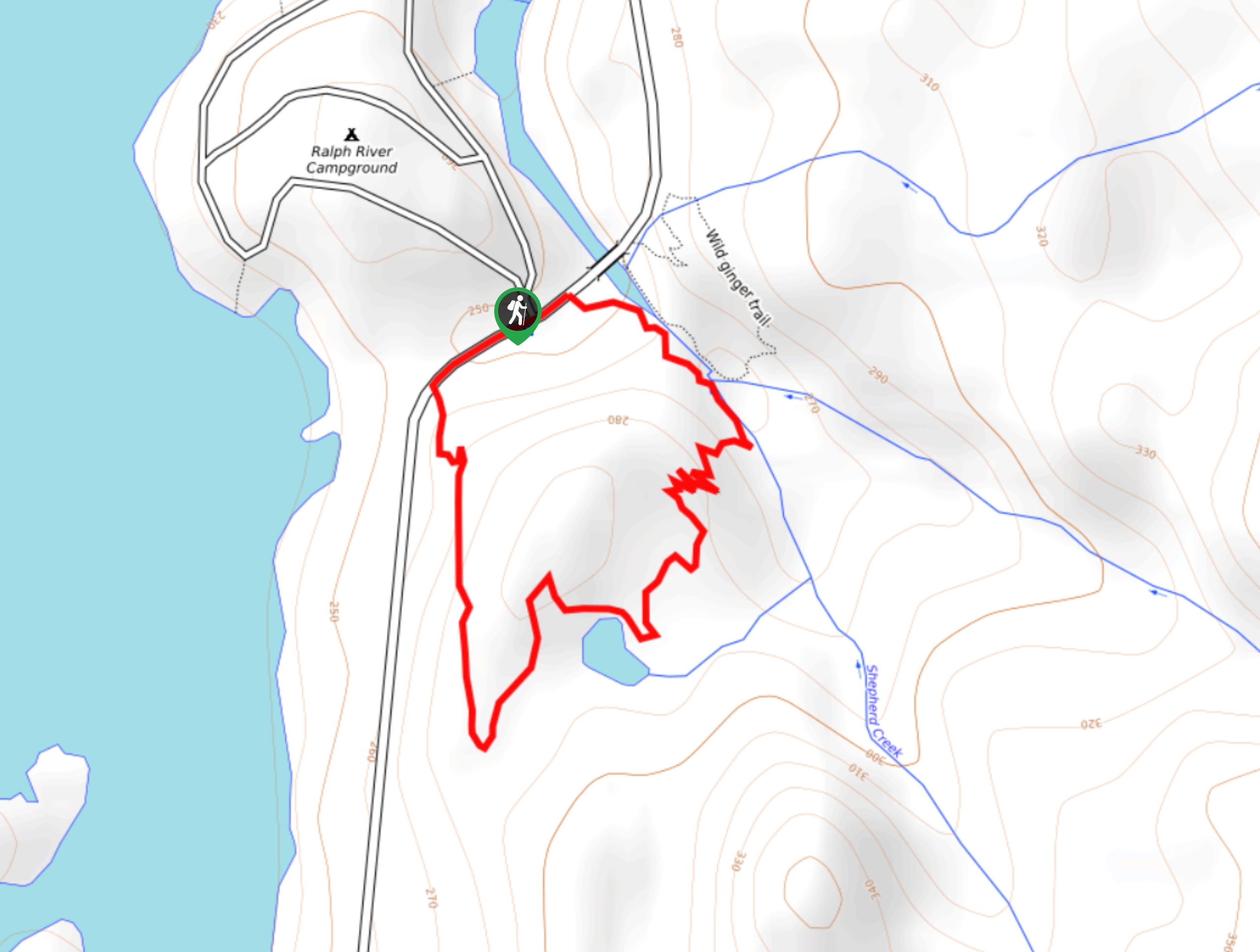
Shepherd Creek Trail
The Shepherd Creek Trail is a quick 1.1mi hike in Strathcona Provincial Park that offers a perfect way…
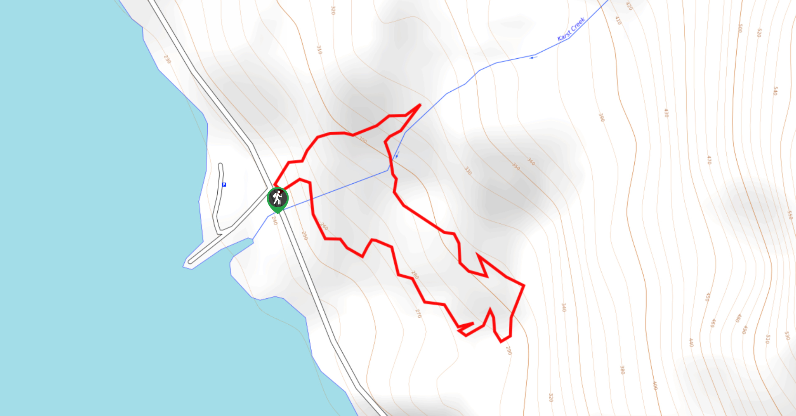
Karst Creek Trail
The Karst Creek Trail is a 0.8mi hiking loop that will take you through a beautiful stretch of…
Comments