Upper Myra Falls hike
View Photos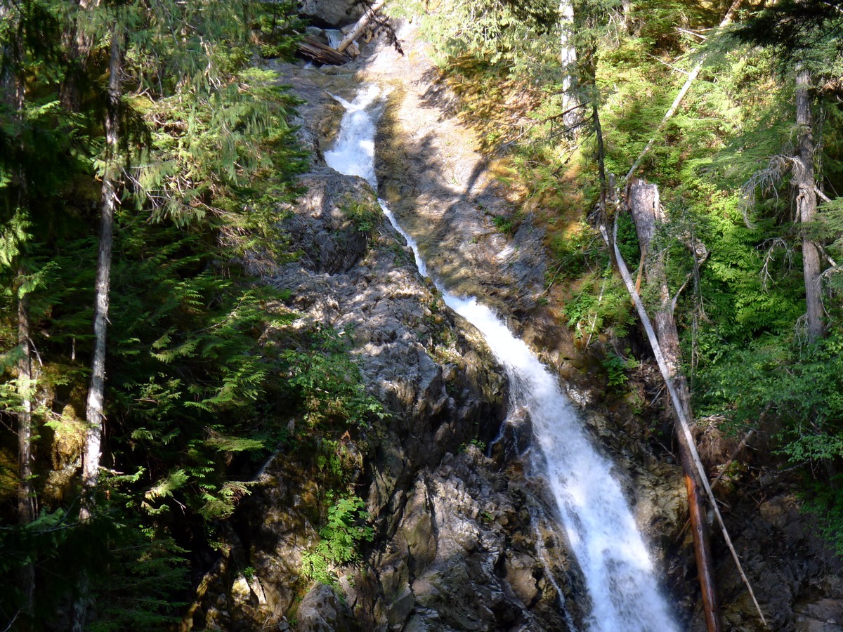
Upper Myra Falls hike
Difficulty Rating:
The hike to Upper Myra Falls is a stunning, family-friendly hike in Strathcona Provincial Park. This hike takes you through impressive old growth forest to the beautiful Upper Myra Waterfall. The trail is well maintained and is never too steep, perfect for the whole family.
Getting there
From Campbell River head west along High 28 for just under 31.1mi. Just as you reach Buttle Lake you will come to a junction where you will continue strait following signs for the Westin Mine. Follow this road for 23.6mi until you enter the mine area. Continue on the gravel road as it passes through the operational mine, following signs with a little Hiker icon to the parking lot.

About
| When to do | Year Round |
| Backcountry Campsites | No |
| Toilets | At trailhead |
| Family friendly | Yes |
| Route Signage | Average |
| Crowd Levels | Low to Moderate |
| Route Type | Out and back |
Upper Myra Falls
Elevation Graph
Weather
Route Description for Upper Myra Falls
From the parking lot, has a pit toilet and a map outlining the various routes, head across the road and begin walking along the gated dirt road. Within a few metres you will pass the trailhead for Arnica Creek, however you will continue on for a little ways further.
After around a 0.6mi of hiking you will see the signed path for the Upper Myra Falls trail on your right. Turn onto the trail and begin to hike up the mild elevation gain towards Upper Myra Falls.
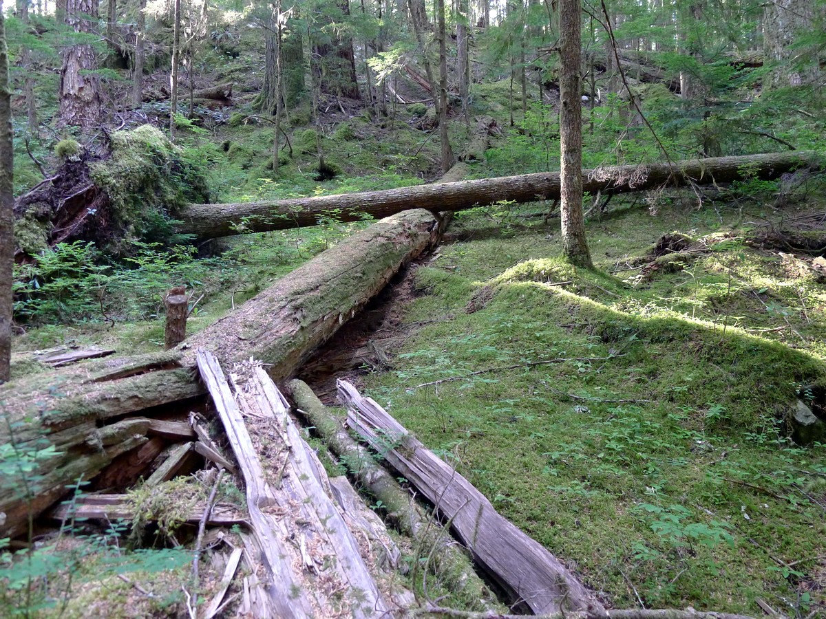
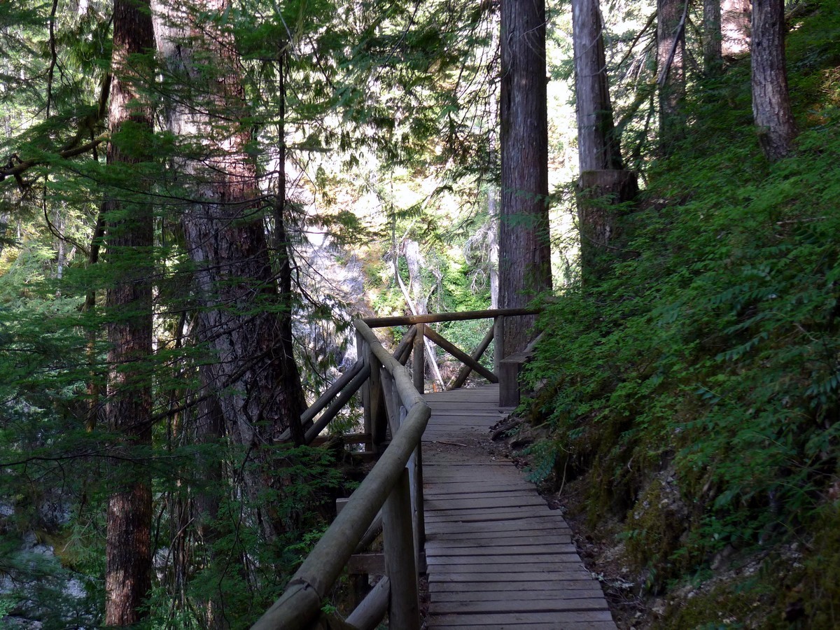
The well-maintained trail switchbacks gently up the hillside, through beautiful old growth trees and the classic Vancouver Island mossy underbrush.
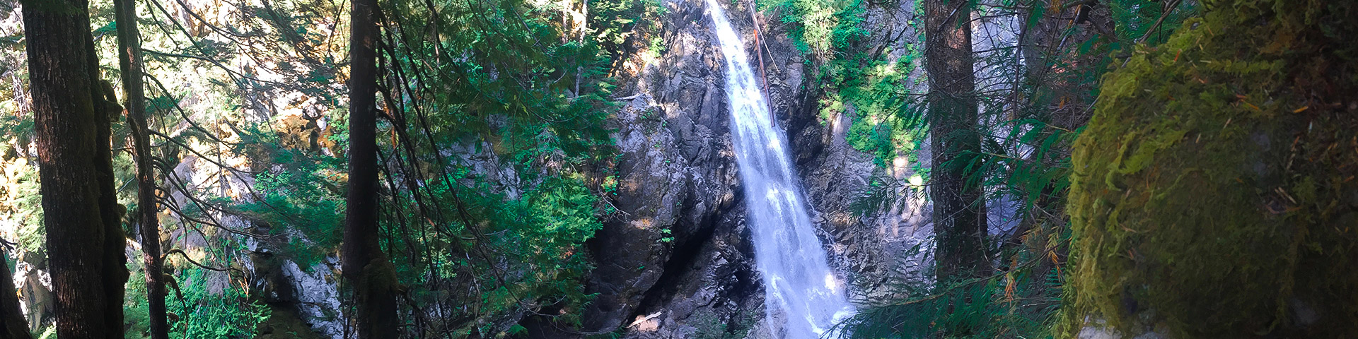
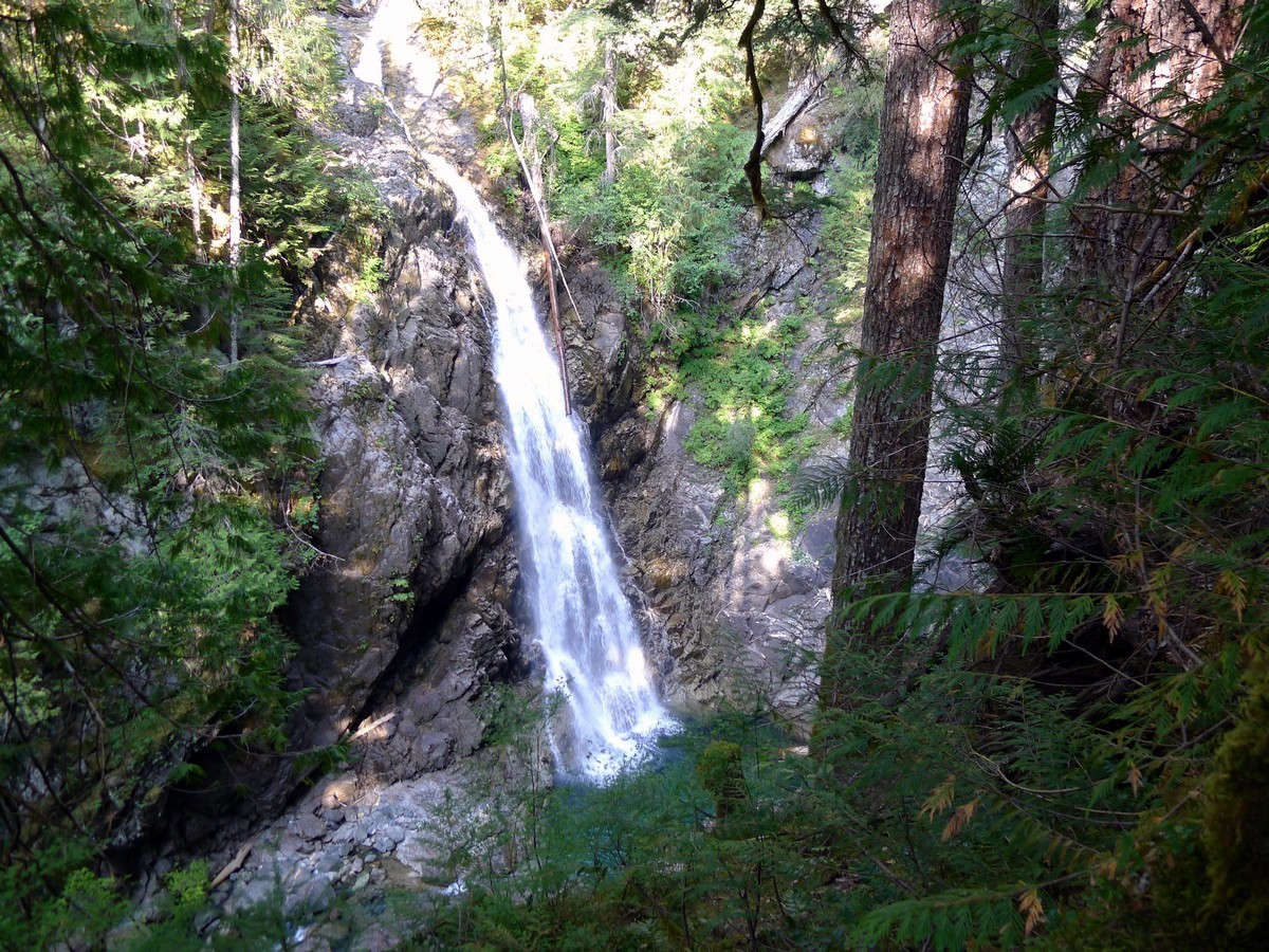
The trail will level out as you traverse to the west, gently undulating up and down. After a while of hiking you will finally come to the Upper Myra Falls viewpoint, a small wooden platform with the stunning scene of the raging 75ft waterfall plummeting into the deep blue basin.
After enjoying the stunning Upper Myra Falls, turn around and hike back the way you came.
Insider Hints
Come in the spring to see the falls raging at their strongest!

Similar hikes to the Upper Myra Falls hike
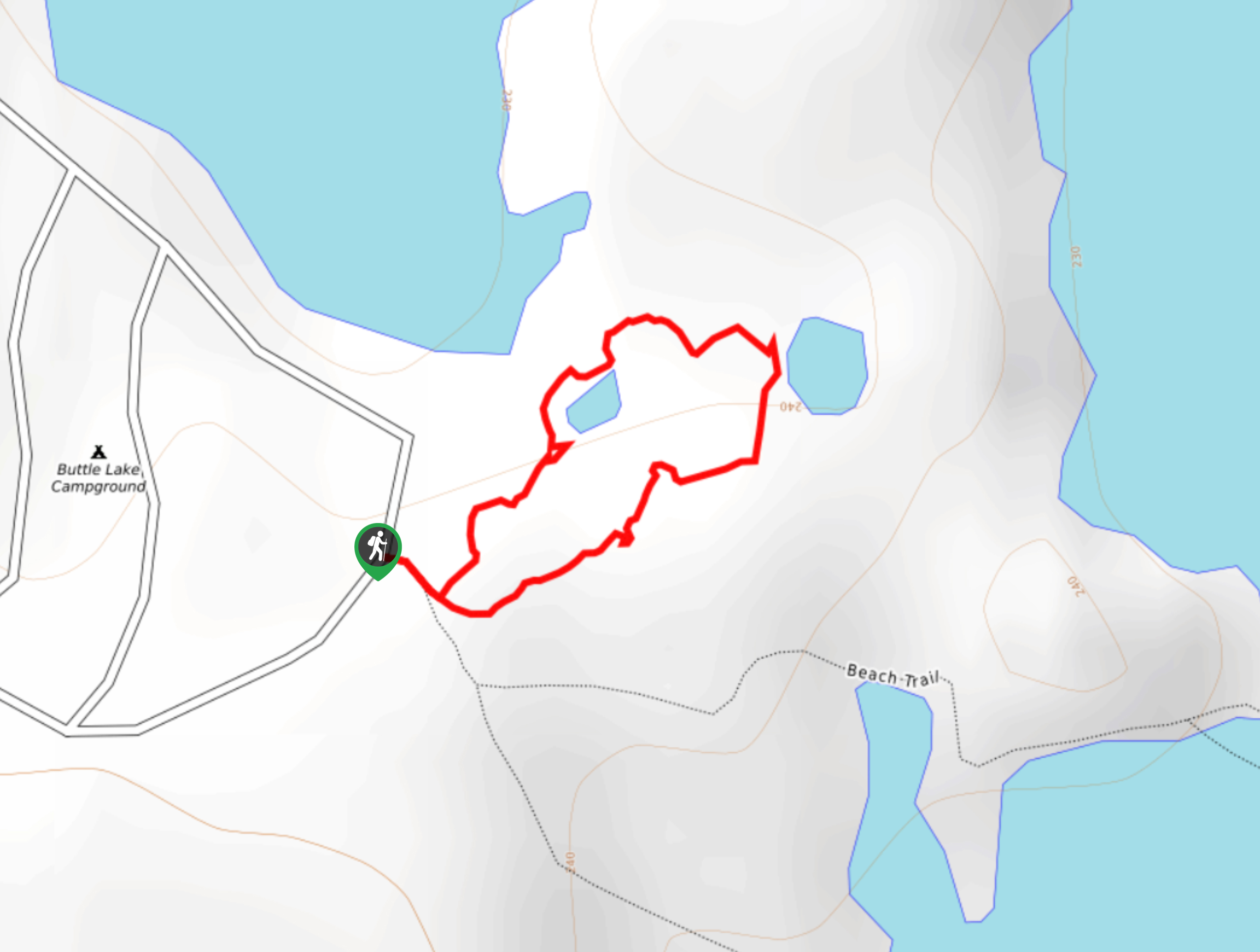
Three Pond Loop Trail
The Three Pond Loop Trail is a 0.4mi hiking route in Strathcona Provincial Park that passes through a…
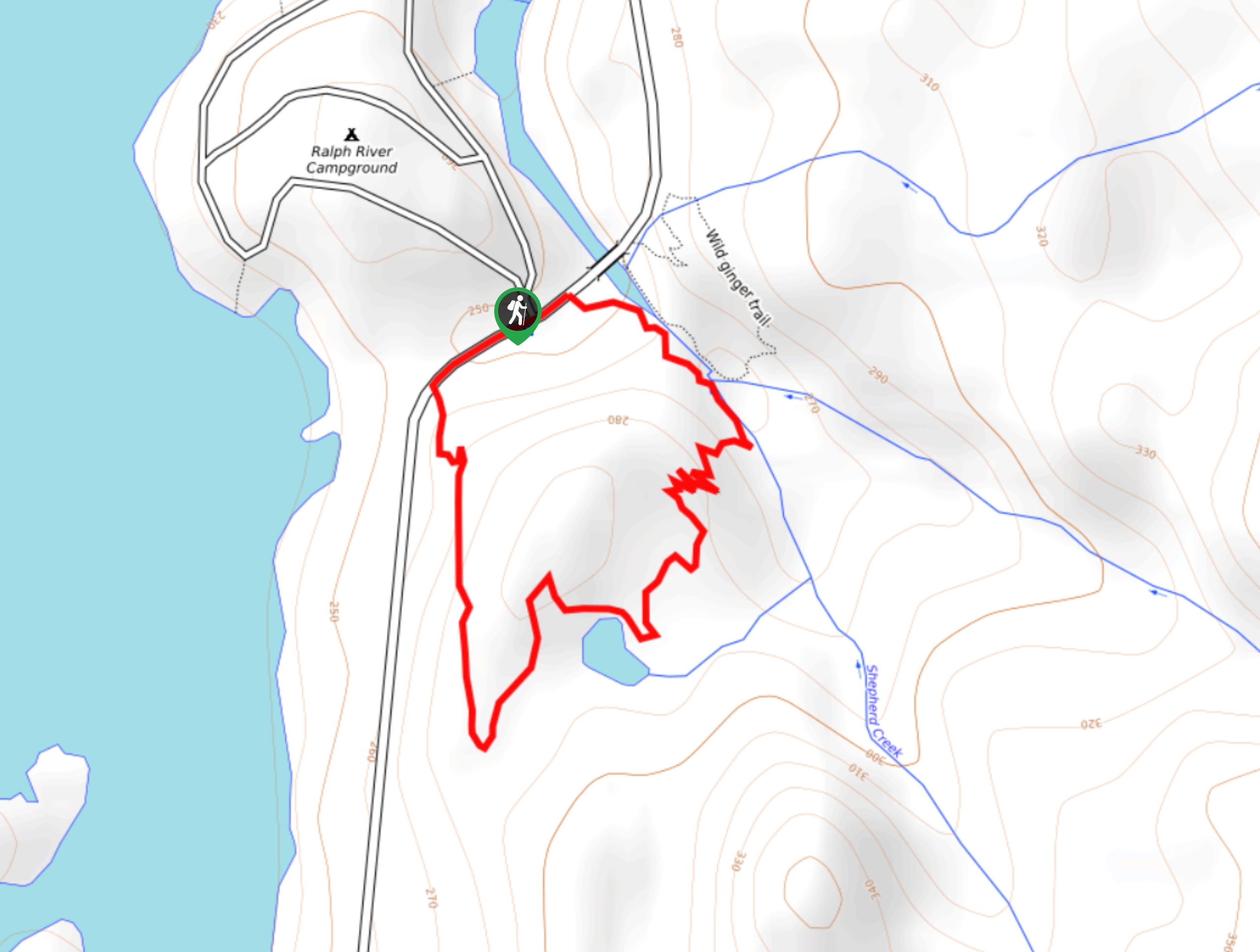
Shepherd Creek Trail
The Shepherd Creek Trail is a quick 1.1mi hike in Strathcona Provincial Park that offers a perfect way…
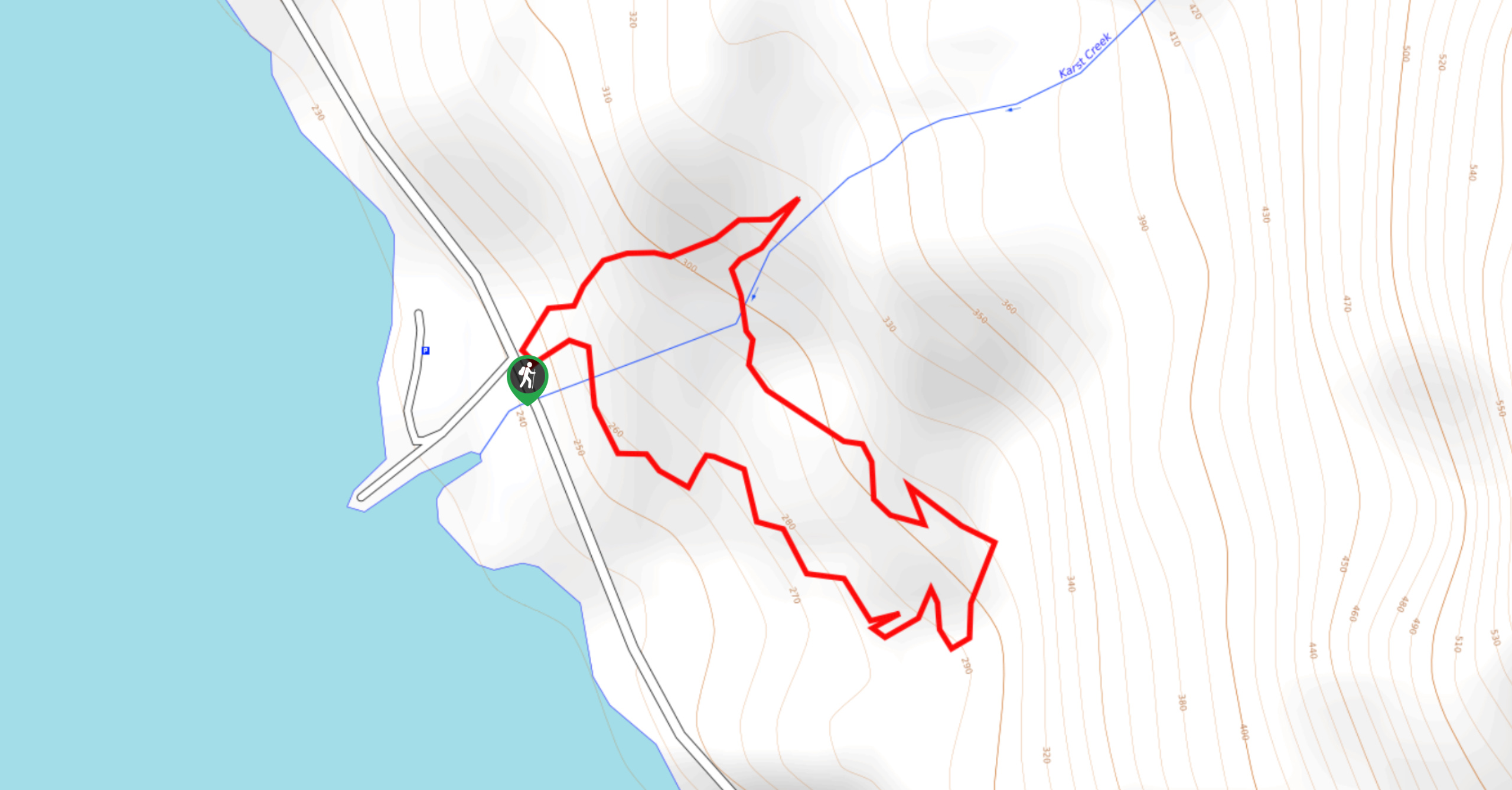
Karst Creek Trail
The Karst Creek Trail is a 0.8mi hiking loop that will take you through a beautiful stretch of…
DeandrePaul 4 years ago
Well-kept, easy trail suitable for the family. It only took me an hour and a half but a more casual pace would still be quick.
Albert W. 4 years ago
It was an incredible attraction. The falls was phenomenal!
YukihiroSato 4 years ago
Utsukushi mori! It means beautiful forest. Always a fan of nature.
Logan X. 4 years ago
Lovely site with plenty of views to see.
matsuomako 4 years ago
The waterfalls in the valley were beautiful. The dogwoods were blooming.
HIllaryPNW 4 years ago
Lovely trail to move your legs after lots of driving. Big trees which offers peace.
cartersans 5 years ago
Myra Falls is spectacular! Perfect hike for the family!
lukeboii 5 years ago
easy and not steep. the pup loved it.
Joji L. 5 years ago
The hillside ascent was easy, and the walkways were well maintained.
EthelB. 5 years ago
Great ambiance. It was so peaceful. Enchanting place with lots of shades.