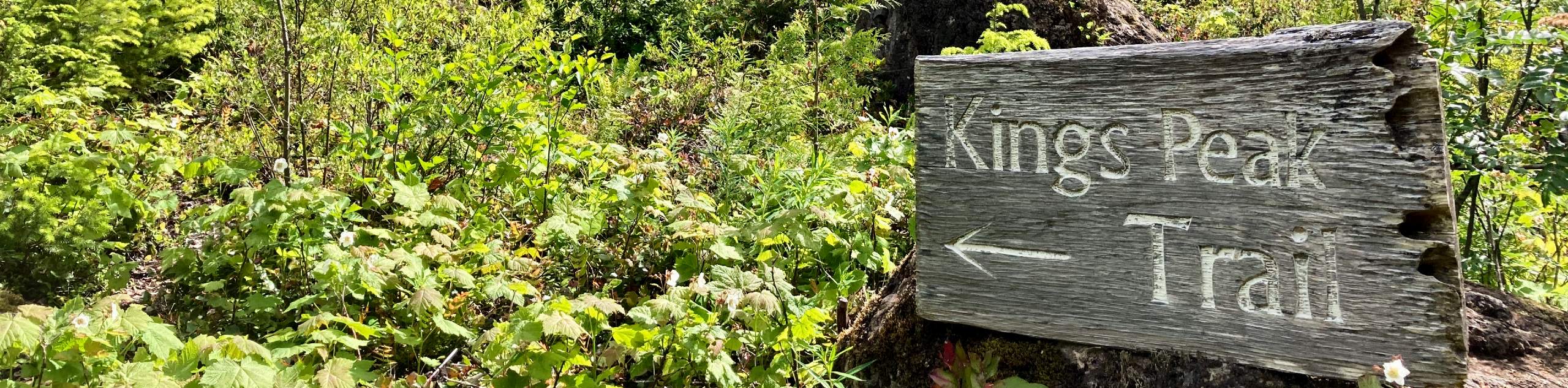
King’s Peak
View Photos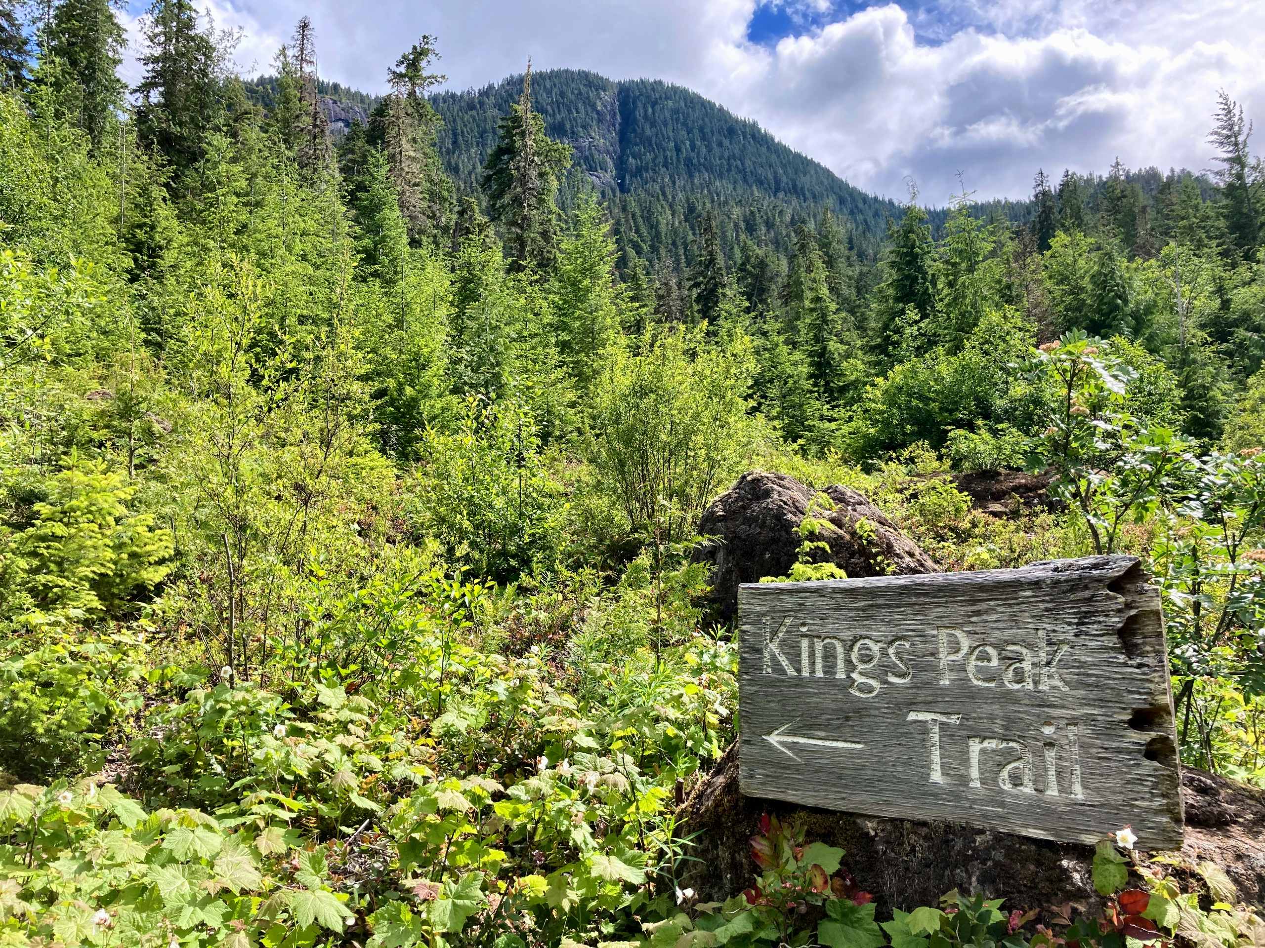
King’s Peak
Difficulty Rating:
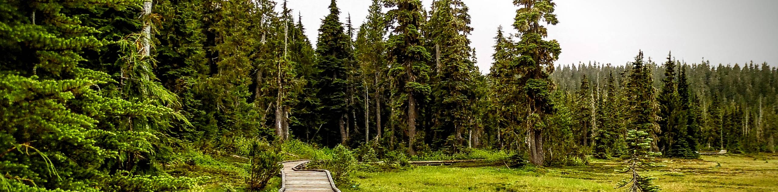
The trek up to King’s Peak is a challenging 8.8mi hiking route that will take you across a variety of terrain to reach the amazing viewpoint at the summit. Along the trail, you will hike through dense forests, beautiful valleys and traverse rugged mountain terrain to reach the final destination. From the summit, hikers will have amazing views looking out over the Strathcona high country.
Getting there
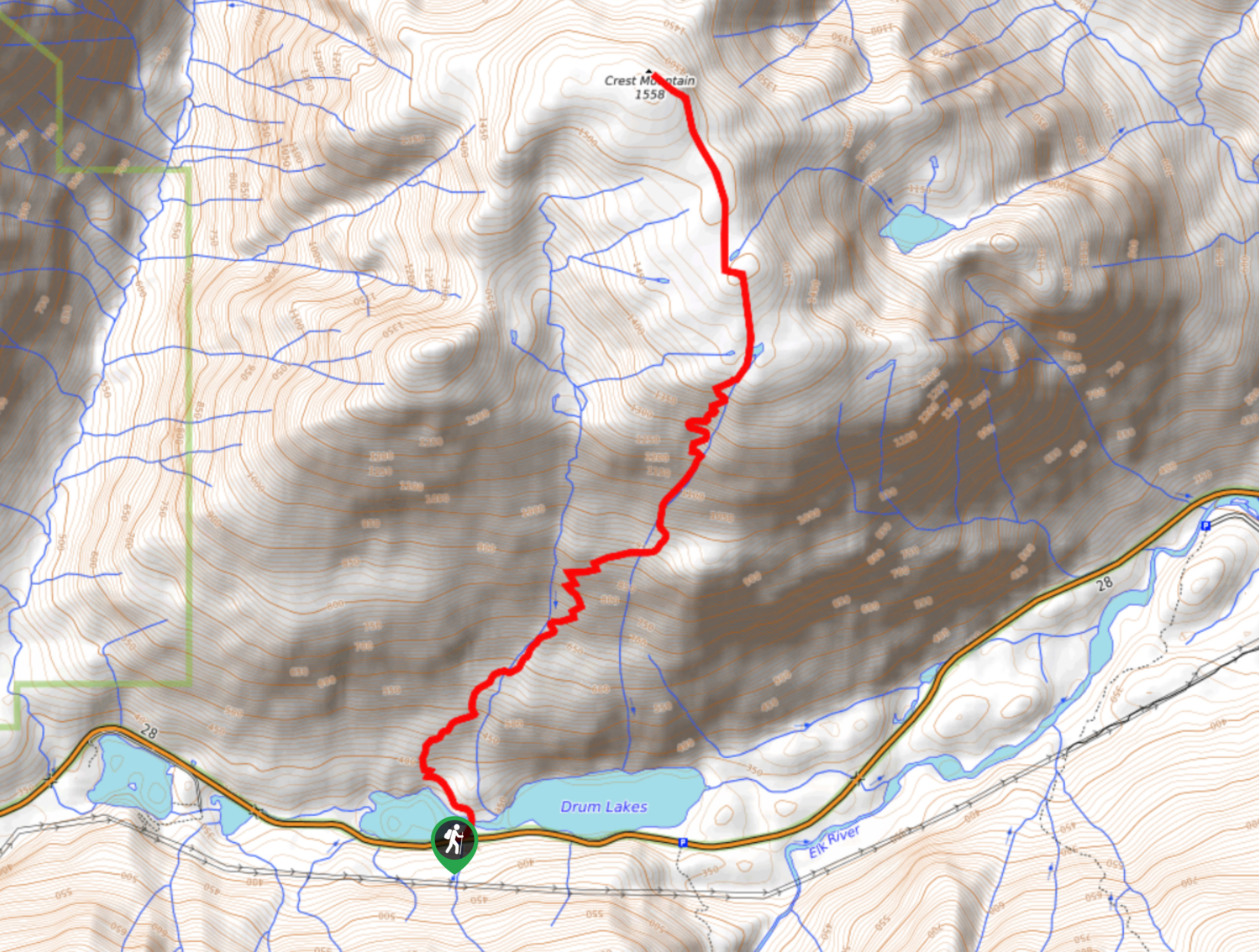
To reach the trailhead for King’s Peak from Gold River, head east on BC-28 for 9.9mi and make a slight right onto Elk River Road. After 1.9mi, you will cross over the river and find the trailhead on your right.

About
| When to do | June–October |
| Backcountry Campsites | No |
| Pets allowed | Yes - On Leash |
| Family friendly | No |
| Route Signage | Average |
| Crowd Levels | Low |
| Route Type | Out and back |
King’s Peak
Elevation Graph
Weather
King’s Peak Description
The King’s Peak Trail is a physically demanding but rewarding hiking route in Strathcona Provincial Park that will take you up to the rugged summit of the mountain for some unbelievable views overlooking the surrounding area.
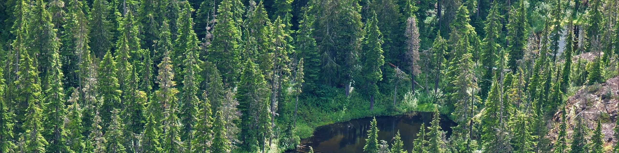
The trail sets out from the banks of the Elk River and passes through a relatively flat section of forest before climbing more steeply through the dense tree cover. Through this portion of the hike, you will pass by some scenic waterfalls before entering into a beautiful valley.
Continue uphill alongside the creek as you make your way up the shoulder of Queen’s Ridge. From this position, you will have some commanding views of the surrounding area. Continue to traverse Queen’s Ridge as you make for the summit of King’s Peak along a well-worn path. Reaching the summit, you will have a jaw-dropping sightline over the Strathcona high country, including the majestic Elkhorn Mountain to the south.

Similar hikes to the King’s Peak hike
Crest Mountain Trail
The Crest Mountain Trail is an 7.1mi out-and-back hiking route in Strathcona Provincial Park that climbs up a…
Cruikshank Canyon Lookout
The hike to the Cruikshank Canyon Lookout is a lengthy 12.7mi out-and-back journey that will take you past…
Paradise Meadows Trail
The Paradise Meadows Trail is an 5.3mi loop trail in Strathcona Provincial Park that passes through a beautiful…
lcmh 2 years ago
I did this train in late July of 2021 and it was pretty well kept for the first half. The second half is marked with just some ribbons and there is often overgrowth covering the way. You must also climb up some major slide areas in order to make it to the top. It was well worth the hike up.