Cruikshank Canyon Lookout
View Photos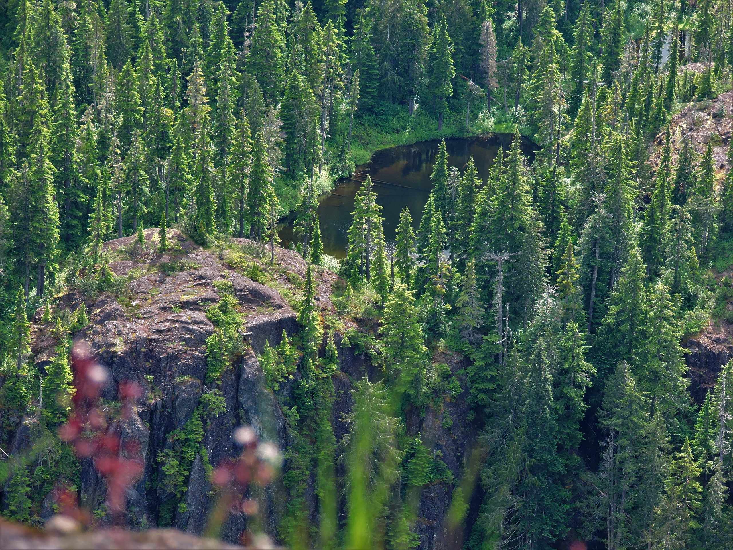
Cruikshank Canyon Lookout
Difficulty Rating:
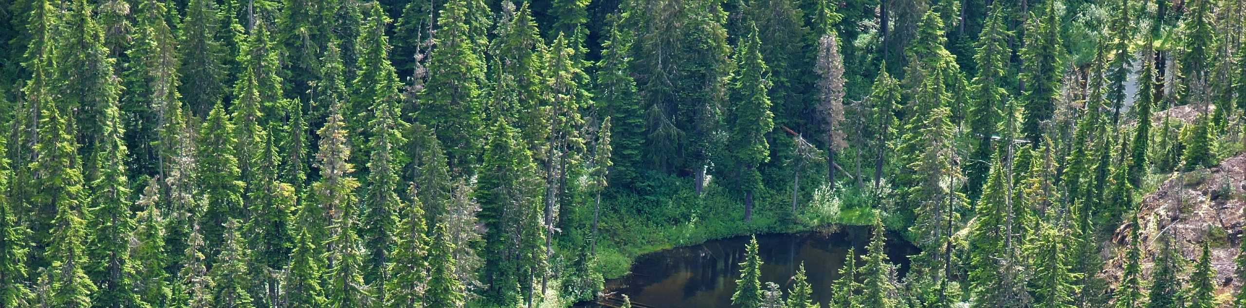
The hike to the Cruikshank Canyon Lookout is a lengthy 12.7mi out-and-back journey that will take you past countless lakes and over the Forbidden Plateau to reach a spectacular viewpoint overlooking the wooded expanse of the canyon. From the rocky outcrop on the canyon’s edge, you can take in the natural beauty of the rugged Strathcona landscape with its numerous mountain peaks and undulating ridgelines. This route can be done as a single day or multi-day trip with an overnight stay at one of several campsites along the trail.
Getting there
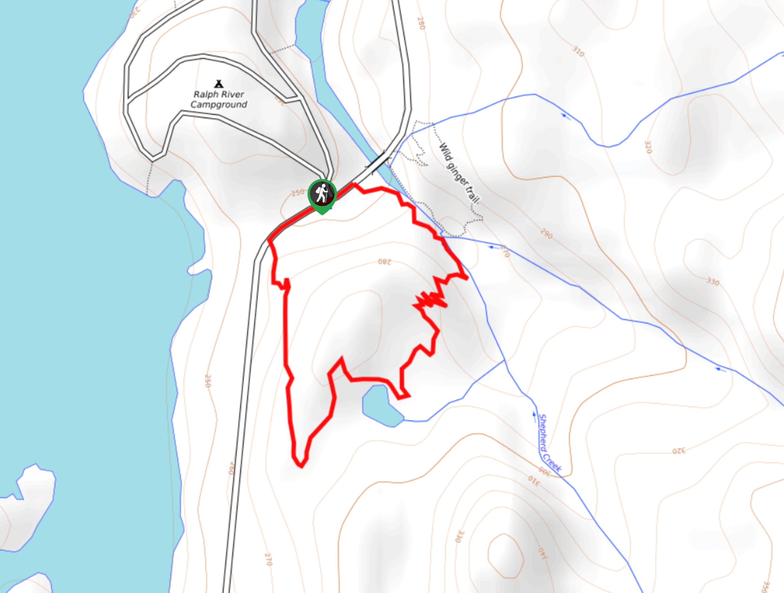
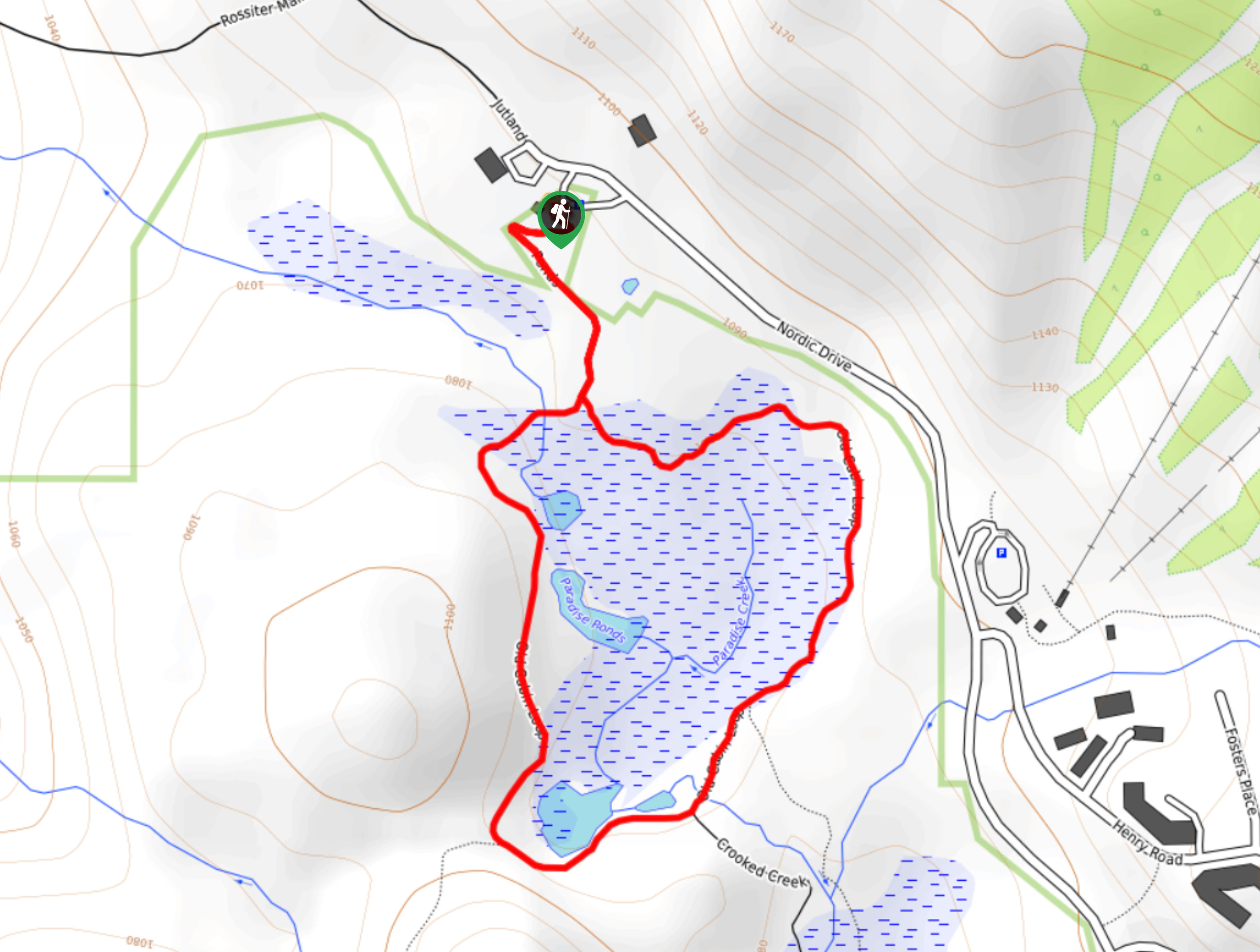
To make your way to the trailhead for the Cruikshank Canyon Lookout from the Mount Washington Alpine Resort, head south on the Strathcona Pkwy for 0.8mi and turn right onto Nordic Drive. Continue along Nordic Drive for 1.5mi, and you will find the parking area beside the Strathcona Park Wilderness Centre.

About
| When to do | April-October |
| Backcountry Campsites | Kwai Lake Campground, Helen Mackenzie Lake Campground |
| Pets allowed | Yes - On Leash |
| Family friendly | No |
| Route Signage | Average |
| Crowd Levels | Moderate |
| Route Type | Out and back |
Cruikshank Canyon Lookout
Elevation Graph
Weather
Cruikshank Canyon Lookout Description
Making the trek out to the Cruikshank Canyon Lookout is a fun adventure for casual or experienced hikers looking for a long single-day hike or who want to take some extra time to explore Strathcona over a multi-day journey.
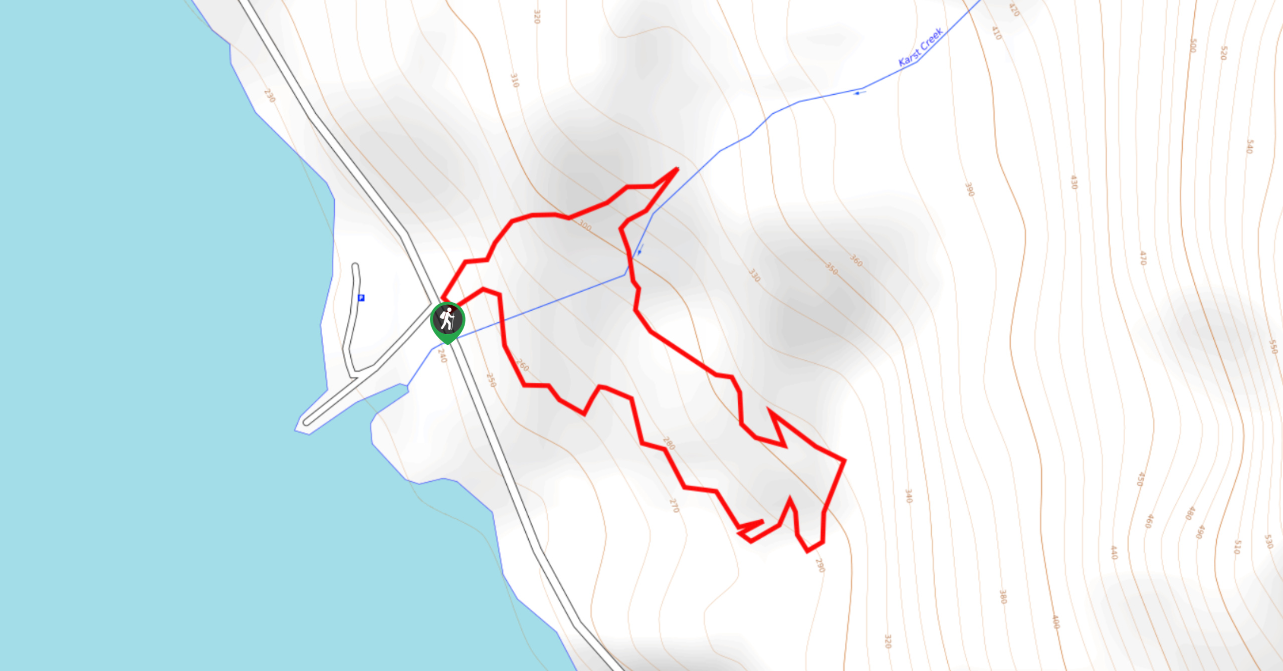
The trail sets out from the Strathcona Park Wilderness Centre. It passes between the charming waters of Lake Helen Mackenzie and Battleship Lake before skirting around the southeastern side of Mount Elma. From here, the trail crosses over the Forbidden Plateau on a route towards Kwai Lake, where hikers often choose to stay overnight at the campsite.
Around the lake’s western edge, the trail breaks off through the forest to the south and passes by the Mariwood and Beautiful Lakes. With a gentle climb through the trees, hikers will soon reach the Cruikshank Canyon Lookout, where they can experience the vast expanse of the forested landscape and rugged mountain peaks from atop the rocky bluff. This scenic hike should definitely be on your list if you are looking for a longer route without too much difficulty.
Similar hikes to the Cruikshank Canyon Lookout hike
Shepherd Creek Trail
The Shepherd Creek Trail is a quick 1.1mi hike in Strathcona Provincial Park that offers a perfect way…
Karst Creek Trail
The Karst Creek Trail is a 0.8mi hiking loop that will take you through a beautiful stretch of…
Old Cabin Loop
The Old Cabin Loop is a 1.5mi scenic hiking route within Strathcona Provincial Park that travels around a…
Comments