Sea to Summit Trail hike
View Photos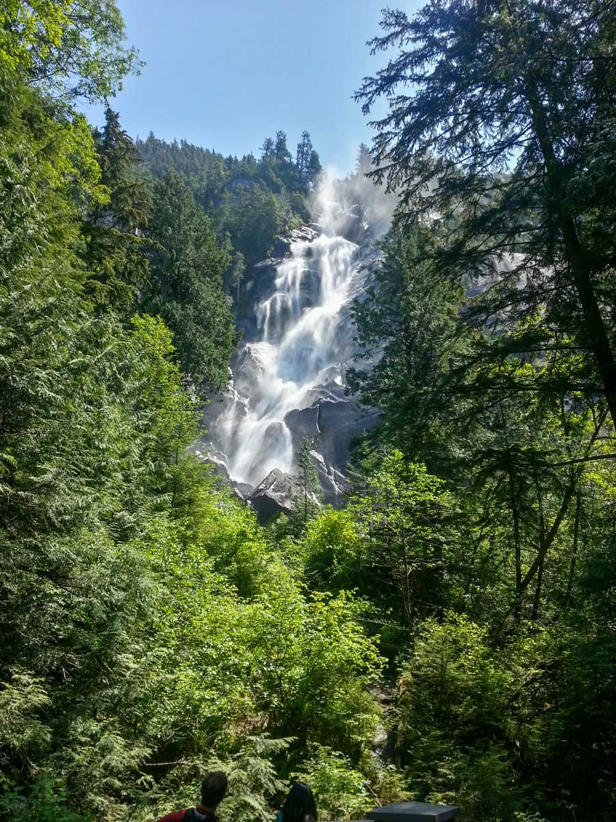
Sea to Summit Trail hike
Difficulty Rating:
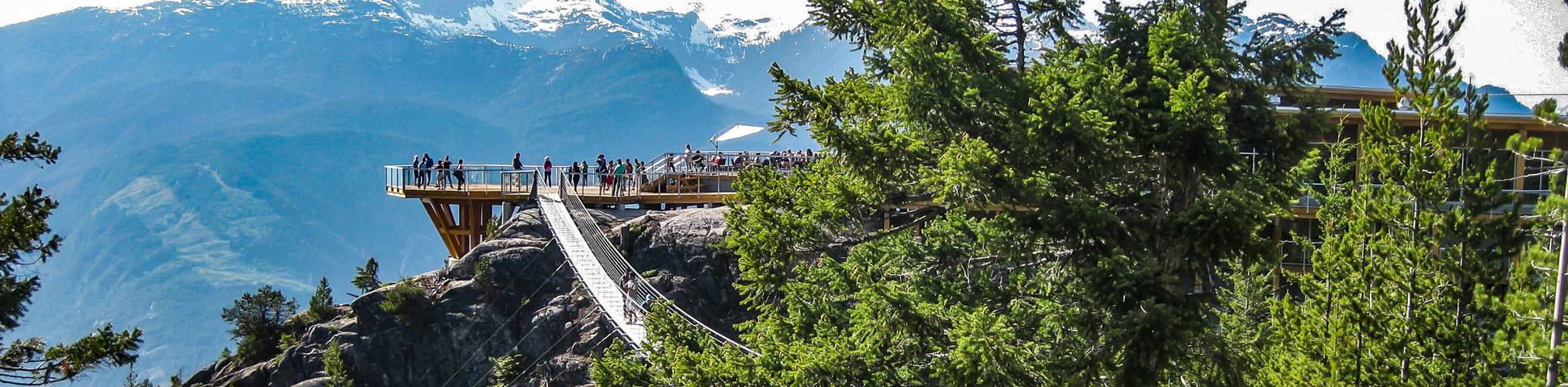
The Sea to Summit hike takes you to the top of the Sea to Sky Gondola - from there you can enjoy a beer at the lodge and take the gondola down. It’s a steep hike and often done by locals for a workout. Hike up, and gondola down to save the knees.
Getting there
Take Highway #99 heading north past Horseshoe Bay towards Squamish. As you near Squamish, watch for the signs for Shannon Falls and the Sea to Sky Gondola (they’re hard to miss), and simply pull into the lot right off the highway.

About
| Family friendly | No |
| Route Signage | Average |
| Crowd Levels | Moderate |
| Route Type | Out and back |
| When to do | April to October |
| Backcountry Campsites | No |
| Pets allowed | Yes (though they can’t come back down the gondola) |
Sea to Summit Trail
Elevation Graph
Weather
Route Description for Sea to Summit Trail
Kick off the Sea to Sky hike from Shannon Falls, where there are well marked signs for Stawamus Chief. Follow the trail as it winds away from the Shannon Falls viewing platform, following signs for the Sea to Summit trail.
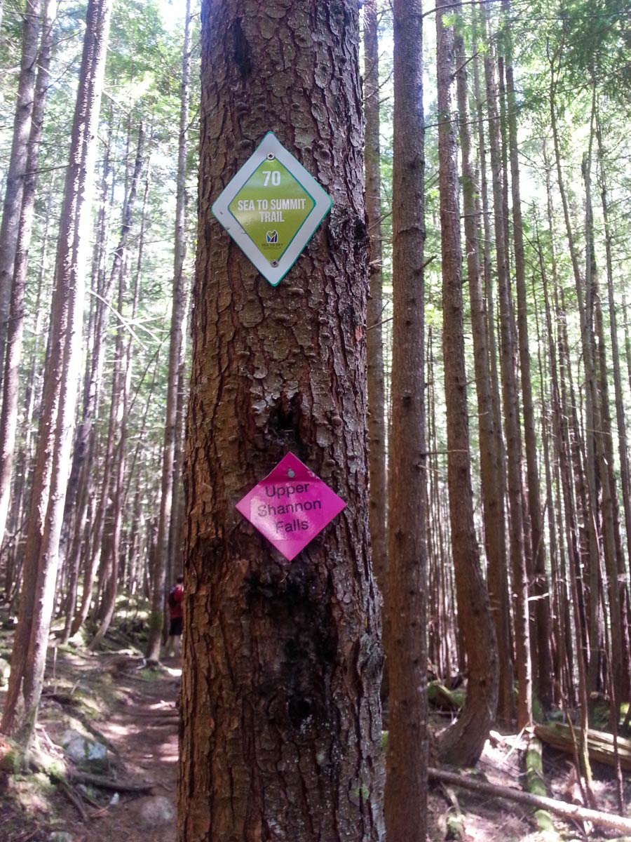
From here, cross over Oleson Creek to join up with the Chief Backside trail. It may look crowded, but soon, we’ll zig off onto the Sea to Summit trail, marked by large green diamonds, and the people will thin out.
To make things easier on the steep terrain, follow the stairs upwards, until you reach a fork for Upper Shannon Falls trail. Head right, away from the crowds, following a gentle path towards the falls.
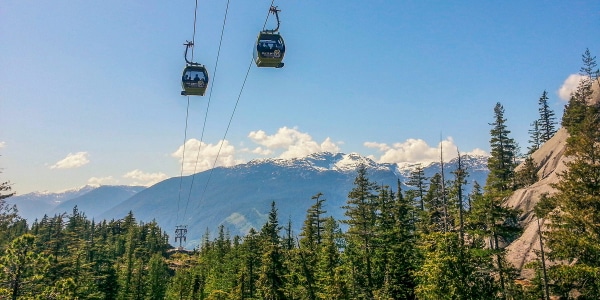
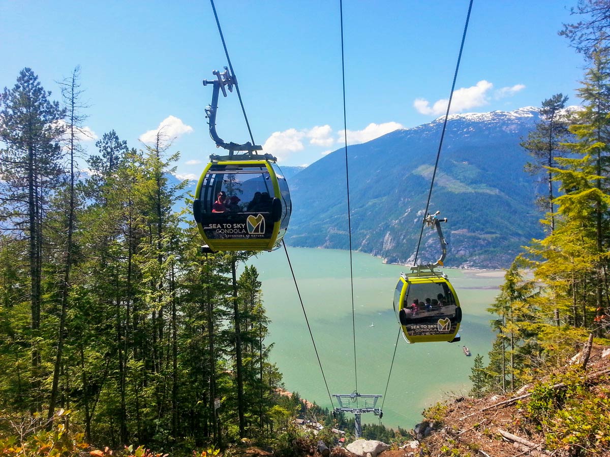
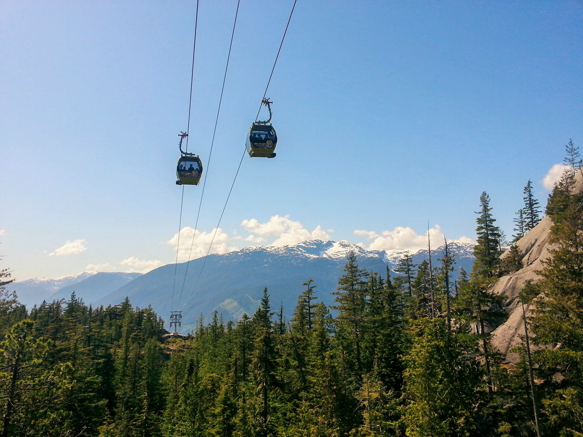
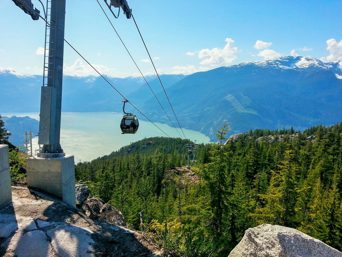
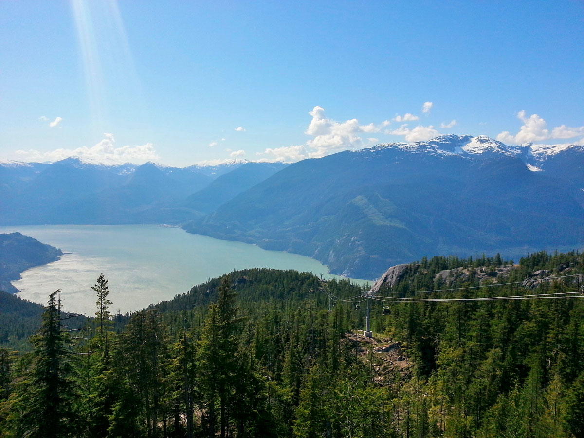
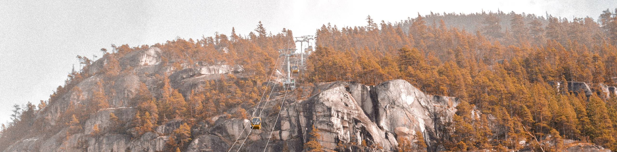
Eventually, you’ll arrive at a clearing for the Sea to Sky Gondola itself. Stop here to watch as passengers zip their way up the mountain and spot The Spit from afar.
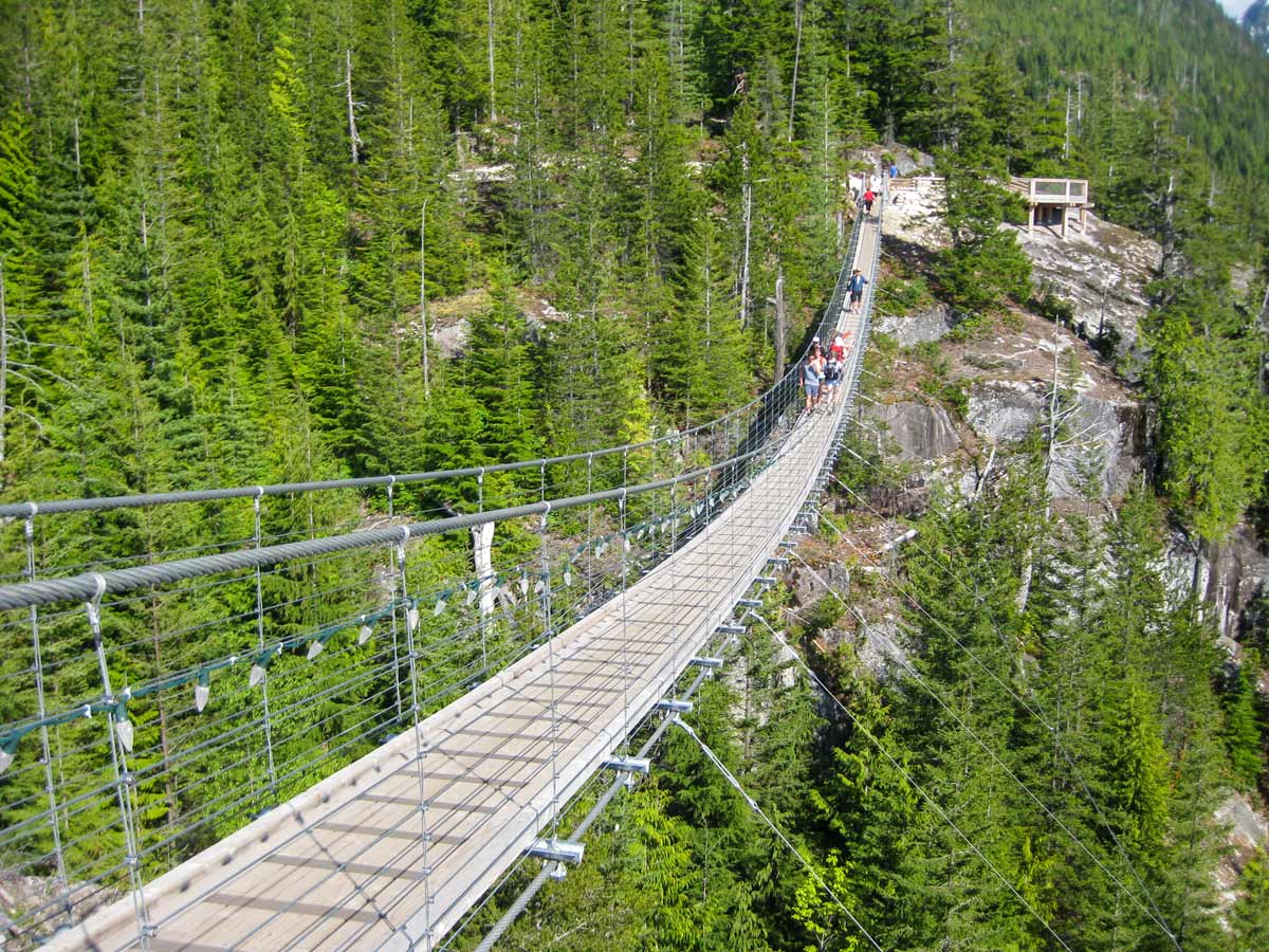
Carry on past Upper Shannon Falls, taking in the waterfall before continuing along the trail. Continue to follow the markers through a lush forest, until you reach a map at the junction for Shannon Basin Loop.
Take a left, continuing now on the Upper Sea to Summit Trail If you want a longer, but less challenging hike, go right along the Shannon Basin Loop Trail.
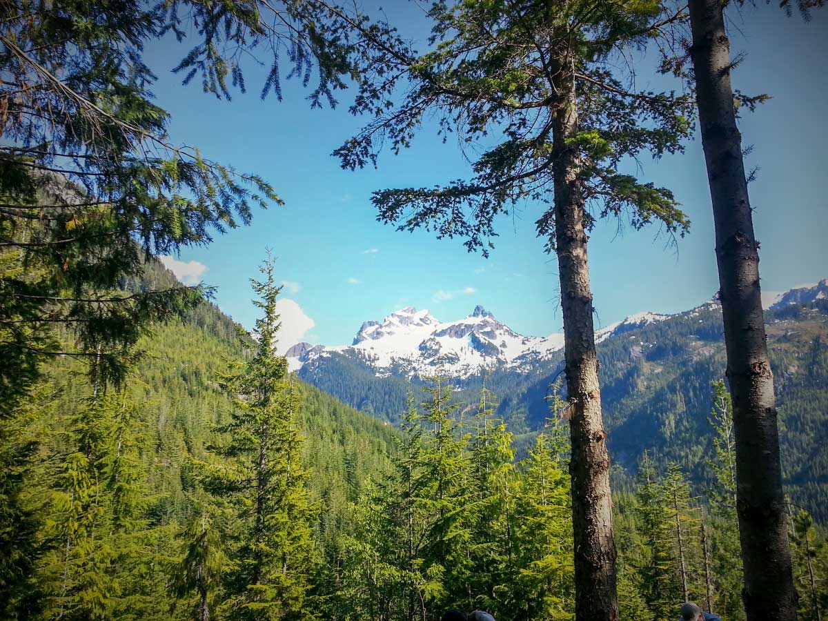
Where the trail connects to the Upper Sea to Summit Trail, relax on a visually stunning section of flat forest. Pass again underneath the gondolas to reach the hardest part of the trail, snaking steeply upwards. Grab onto the chains provided to help pull yourself up as you near the summit.
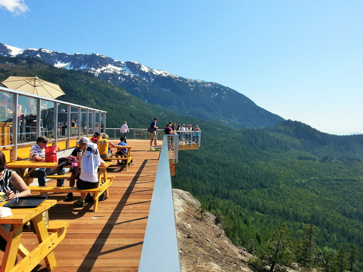
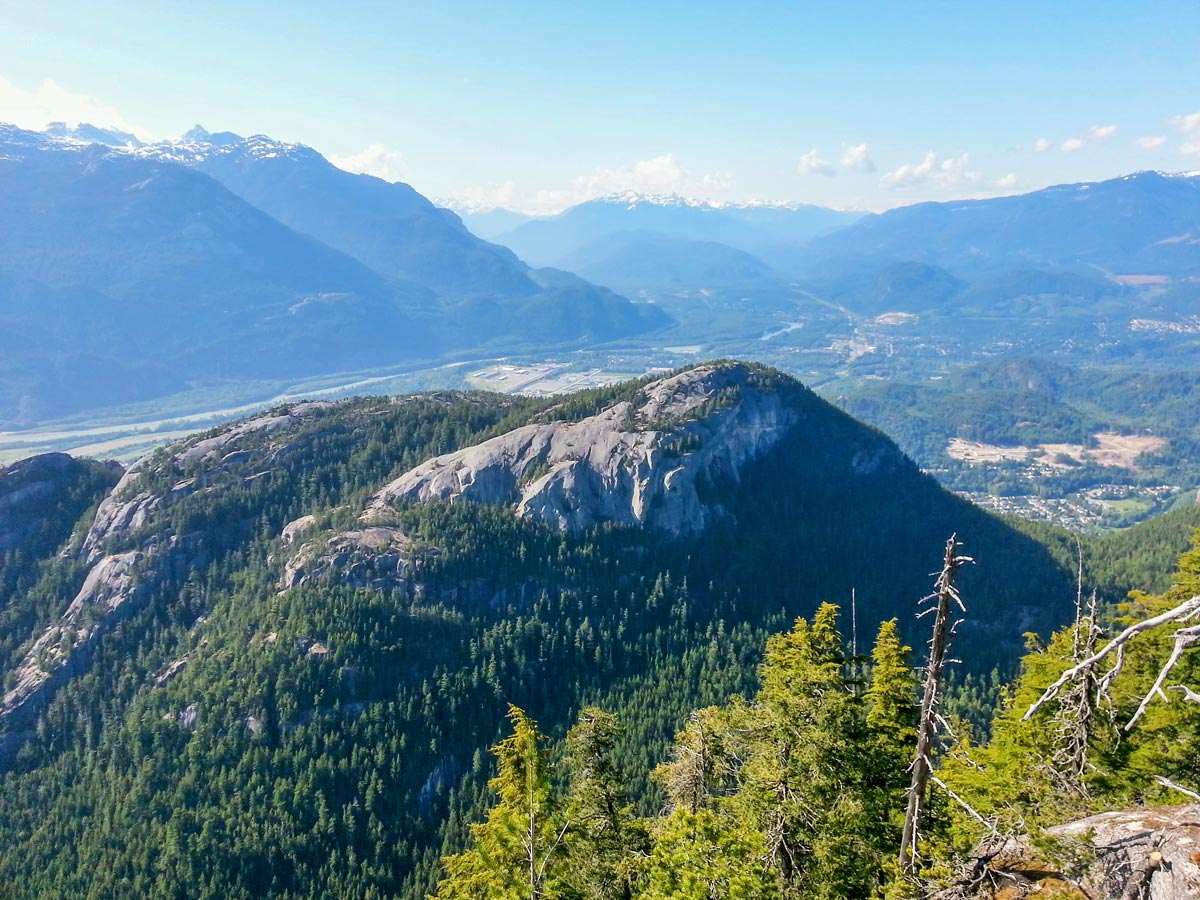
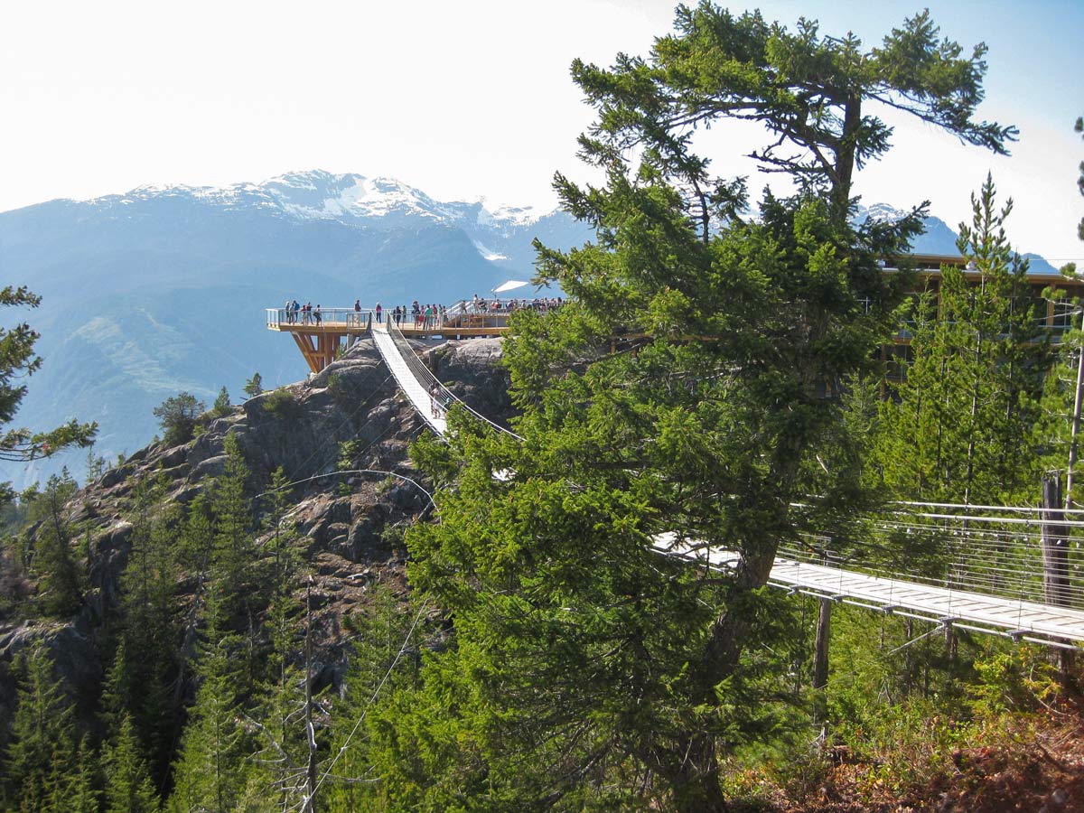
From here, finish the final few kilometers on flat trail to finally reach the summit lodge, where you can grab a pint to cheers your effort! Rest for a while and enjoy the patio with stunning mountain views, then take the gondola back to the parking lot.
Insider Hints
If you plan to take the gondola down on the Sea to Sky hike, bring $10 for the return ride.
Near the top part of the trail, you also have the option of diverting onto the Shannon Basin Loop – an alternate, easier route to reach the top.

Similar hikes to the Sea to Summit Trail hike
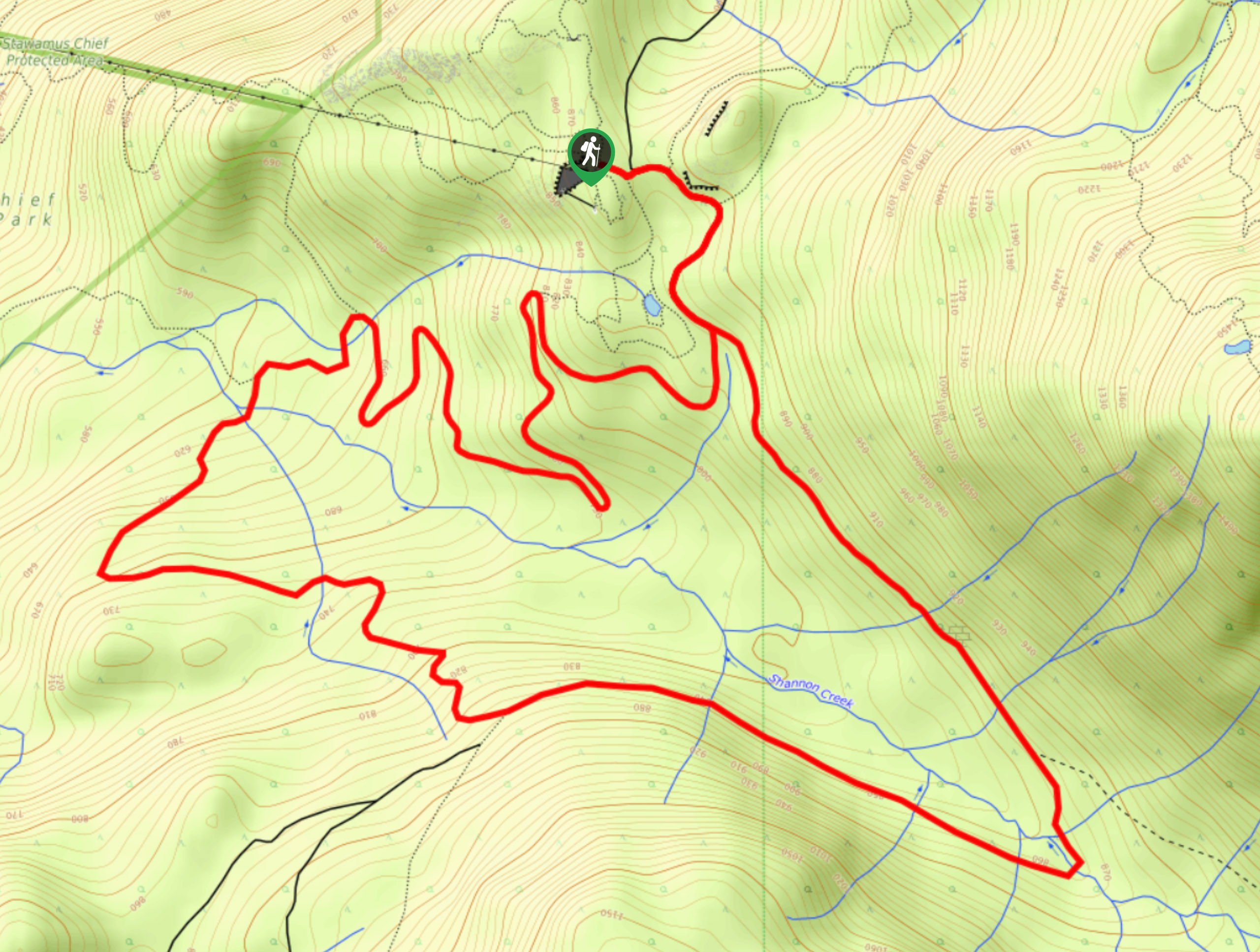
Shannon Basin Loop
The Shannon Basin Loop is a 5.9mi lollipop trail near Squamish, BC, that sets out from the top…
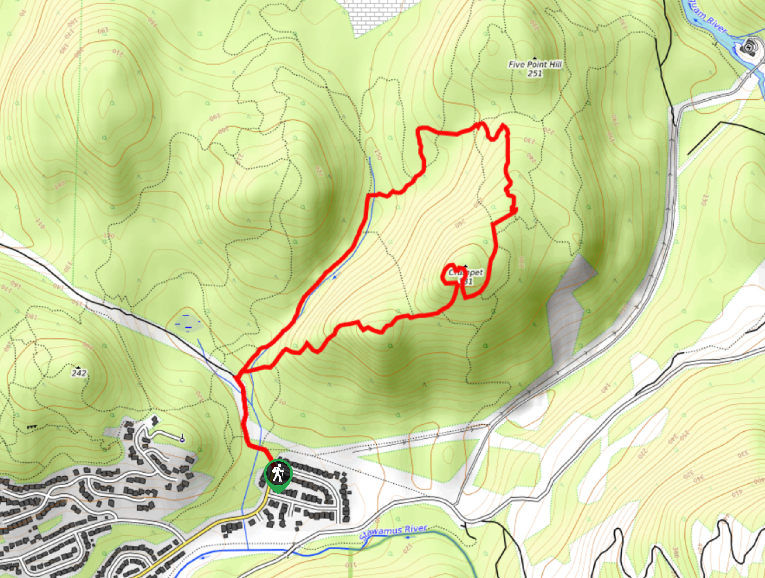
Mount Crumpit Trail
If you are into short hikes that will get your heart pumping and also have amazing mountain views, then the…
Skyline Ridge Trail
The Skyline Ridge Trail is a challenging 12.5mi uphill hiking route near Squamish that sets out from Stawamus…
Gino R. 4 years ago
This place is wonderful! It gives incredible views of Bowen Island and the Sunshine Coast as well as south to Horseshoe Bay and along the Sea To Sky Highway.
Stella Winster 4 years ago
Advanced hiking for sure, not just intermediate. Lots of muddy and watery sections on the trail, so waterproof hiking shoes or boots would save you!
aeropanda 5 years ago
Beautiful & clear day! Great shoulder season hike that's well marked and provides a good workout.
verdanaf. 5 years ago
Amazing views from the top. Don't forget to bring lots of water on this strenuous hike.
Sonya Strut 5 years ago
This is one hell of an exhausting hike. But it will reward you with the beautiful views at the top. Wear boots because there are some muddy sections in the trail.
hoshiuemura 5 years ago
This trail has some steep sections, and you have to pull yourself up using a rope/chain to the summit.
Allison Bailler 5 years ago
One of the best-marked trails in the region. Super well-maintained. Great views of Howe sound just past halfway marker. It is less crowded than usual. Carry lots of water.