
Murrin Park hike
View Photos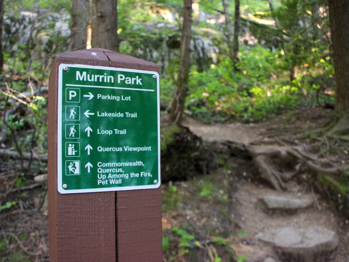

Murrin Park hike
Difficulty Rating:
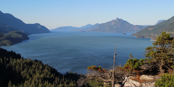
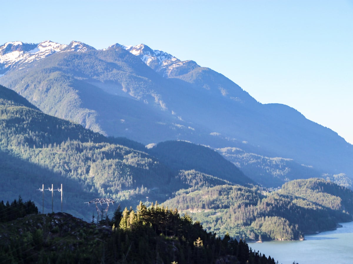
The Murrin Park Loop Trail, also sometimes referred to as the Quercus Trail, can be found in Murrin Provincial Park, Squamish. The park has it all—hiking, fishing, rock climbing and even swimming. Those who want a view of Howe Sound, without the elevation of The Chief, will delight in the Murrin Park Loop hike. .
Getting there
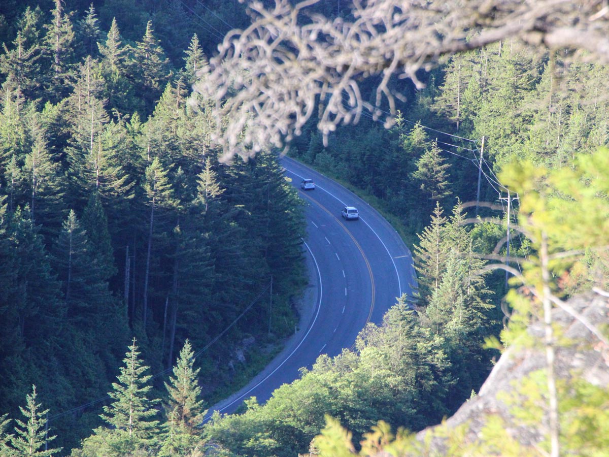
To get to the parking lot, take the Sea to Sky Highway, north, towards Squamish. The turnout is just a few minutes beyond Britannia Beach. You will see the signs for Murrin Provincial Park and you will also see Browning Lake on your left. There is a left-turn lane you can pull into, to safely make the turn into the parking lot.

About
| When to do | All-seasons |
| Backcountry Campsites | No |
| Pets allowed | Yes - On Leash |
| Family friendly | Yes |
| Route Signage | Average |
| Crowd Levels | Moderate |
| Route Type | Circuit |
Murrin Park
Elevation Graph
Weather
Route Description for Murrin Park
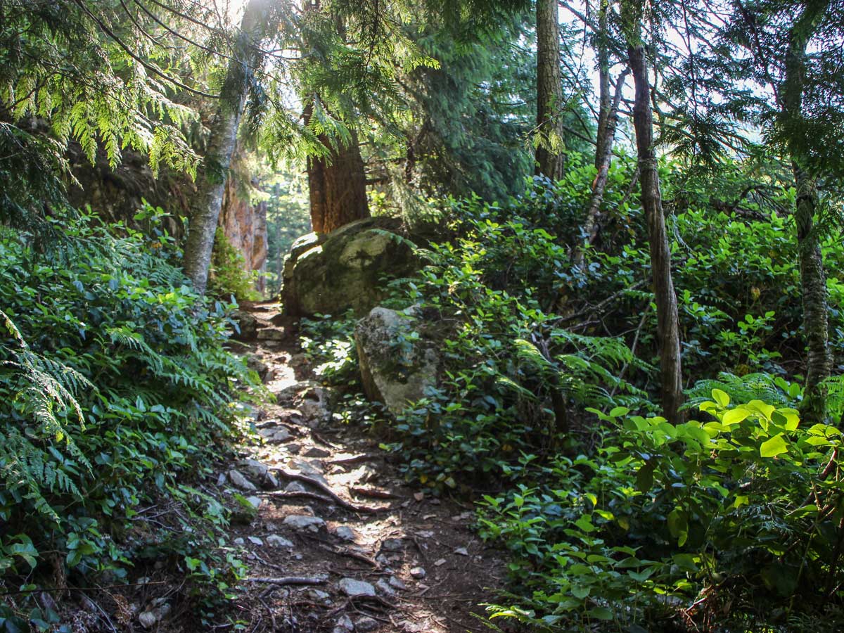
Venture out on the Murrin Park hike from the parking lot, heading directly towards Browning Lake. Find the path near the bank of the lake, next to a series of picnic tables. Here, you’ll spot the sign for the Murrin Loop. Follow the trail as it veers upwards and to the right.
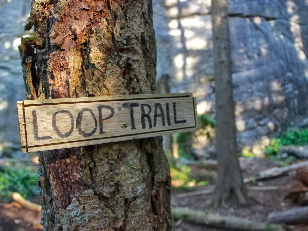
The path starts with a quick, steep climb, but it quickly drops back down towards a rocky section of trail. Come to the first junction, head right back uphill. At the top, there is a sign for Loop Trail and Quercus Viewpoint. There is an orange marker in one of the trees up the trail ahead.
In about 1312ft, you’ll come across the rock-climbing wall known as The Commonwealth. Stay here for a minute to watch people climb, then head left, up the wooden steps.
The trail veers right, continuing up more rock and wooden stairs until you reach the second rock climbing wall. You’ll find yet another marker for Loop Trail, proceed north around the wall.
Press forward until you loop back to reach the top of the climbing wall, where a junction awaits. For a great viewpoint, follow the trail straight towards the Quercus Viewpoint, for a little detour.
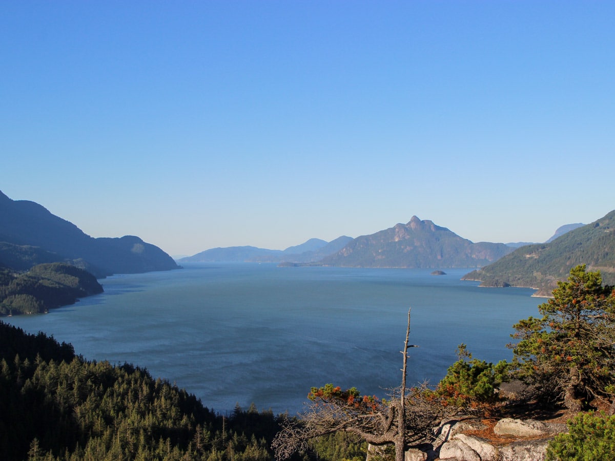
From Quercus Viewpoint, you have a 180-degree lookout over Howe Sound. You can see Anvil Island in the distance directly to the south, and the mountain ranges on both sides of Howe Sound.
Proceed back to the main Loop trail to continue your journey. The trail will drop down, leading to the next junction to the right, keeping eyes on the orange trail markers.
Soon, you’ll see a sign for Jurassic Ridge to the right. While you can skip this loop detour to shorten your hike, this short path will take you to some of the best views in the park so it is well worth it. It is of note that this will add elevation to your hike and is the most difficult sections of the hike, so take caution.
Following the Jurassic Ridge trail, follow the hill as it climbs, until you reach a large rock with a rope to help you climb. Use another rope as the trail drops sharply, passing a gully and following it as it does a hairpin north. Follow the orange markers for your final climb up the ridge.
You’ll be greeted by 180-degree views overlooking glistening snowcapped mountains on your right. You can actually see Quercus Viewpoint, down, directly to your left.
Instead of turning back, the Jurassic Ridge trail will continue to drop all the way back down and rejoin the Loop Trail. Take caution, as the path can be steep and rocky. Use the ropes provided to help you get down safely.
Once you hit a ladder made of rebar, climb down it to officially find yourself back on the Loop trail. Scramble over boulders before re-entering the woods and following the trail on your left.
At the next junction, stay straight to continue on the Loop Trail. There are orange markers on the other trails at this junction, so be sure to keep the course moving forward.
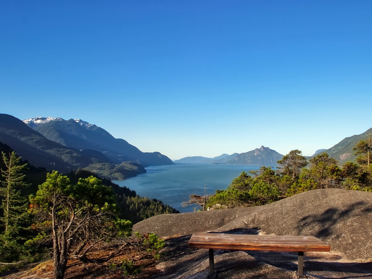
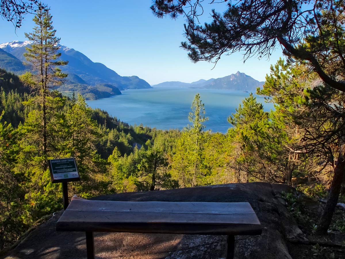
From here, the trail becomes easier with less tripping hazards to look out for, and it gradually descends. Find the next viewpoint, marked by a bench, making it the perfect place to stop and rest.
When you’re ready continue to follow the Loop Trail down past the climbing wall, until you reach the very first junction on the way in. Here, take the Quercus Viewpoint path and you’ll find yourself at Browning Lake, perfect for a post-hike swim.
Insider Hints
The Marrin Park parking lot can fill up quickly with the large number of climbers heading to the same spot. Get here early in the day if possible and try to avoid weekends.
If you plan on brining a furry friend, just note that dogs are not allowed in the main beach area if you plan to swim at Browning Lake.

Similar hikes to the Murrin Park hike
Four Lakes Trail
The Four Lakes Trail is a 4.5mi hiking route that travels through Alice Lake Provincial Park on a…
Wonderland Lake Loop
The Wonderland Lake Loop is a short trail that sets out from the top of the Sea to Sky Gondola…
Shannon Basin Loop
The Shannon Basin Loop is a 5.9mi lollipop trail near Squamish, BC, that sets out from the top…
Gino R. 4 years ago
The trail had some steep sections, but it was short. This place is surprisingly beautiful. The Quercus viewpoint offers nice and breathtaking views.
Omet H. 4 years ago
There is a steep hiking trail that provides terrific views overlooking Howe Sound. If you’re looking for a short hike that rewards you with some amazing views, this one is for you.
Fur Dates 4 years ago
Perfect for everyone! Beautiful! The most rewarding stunning short hike.
Florian L. 5 years ago
Love the loop trail to the viewpoint over the Howe Sound! It’s so romantic at sunset and makes a great location for taking wedding or engagement photos.
Kat Colada 5 years ago
Starts with a steep hike through the forest with lots of roots and rocks so it can be a bit challenging on some portions for beginners, but the view at Quercus is amazing so totally worth it. An hour of trek that is truly rewarding!
genevaoftheeast 5 years ago
Not much of a hike, but a wonderful place! Great for the view!
Carissa Alvarado 5 years ago
The best family-friendly hike we've done in years. This place is a popular family picnic spot during the summer next to Browning Lake. We enjoyed it, and we took lots of great photos here.
Jessie Illumin 5 years ago
The most incredible sunset spot. We climbed up in a quick 20 minutes on the moderately challenging hike, and no one else was up there during the week.