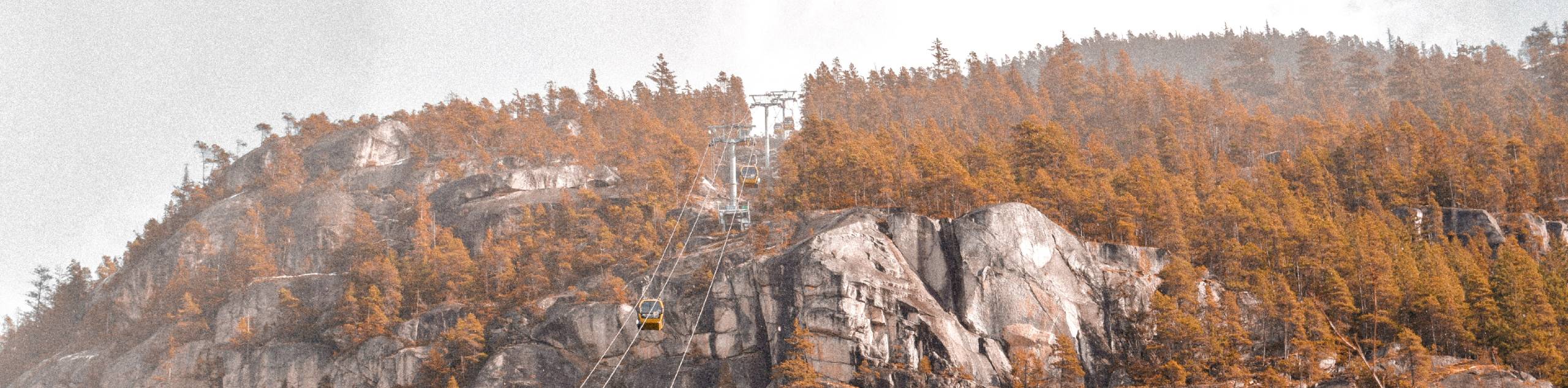
Petgill Lake Trail
View Photos
Petgill Lake Trail
Difficulty Rating:
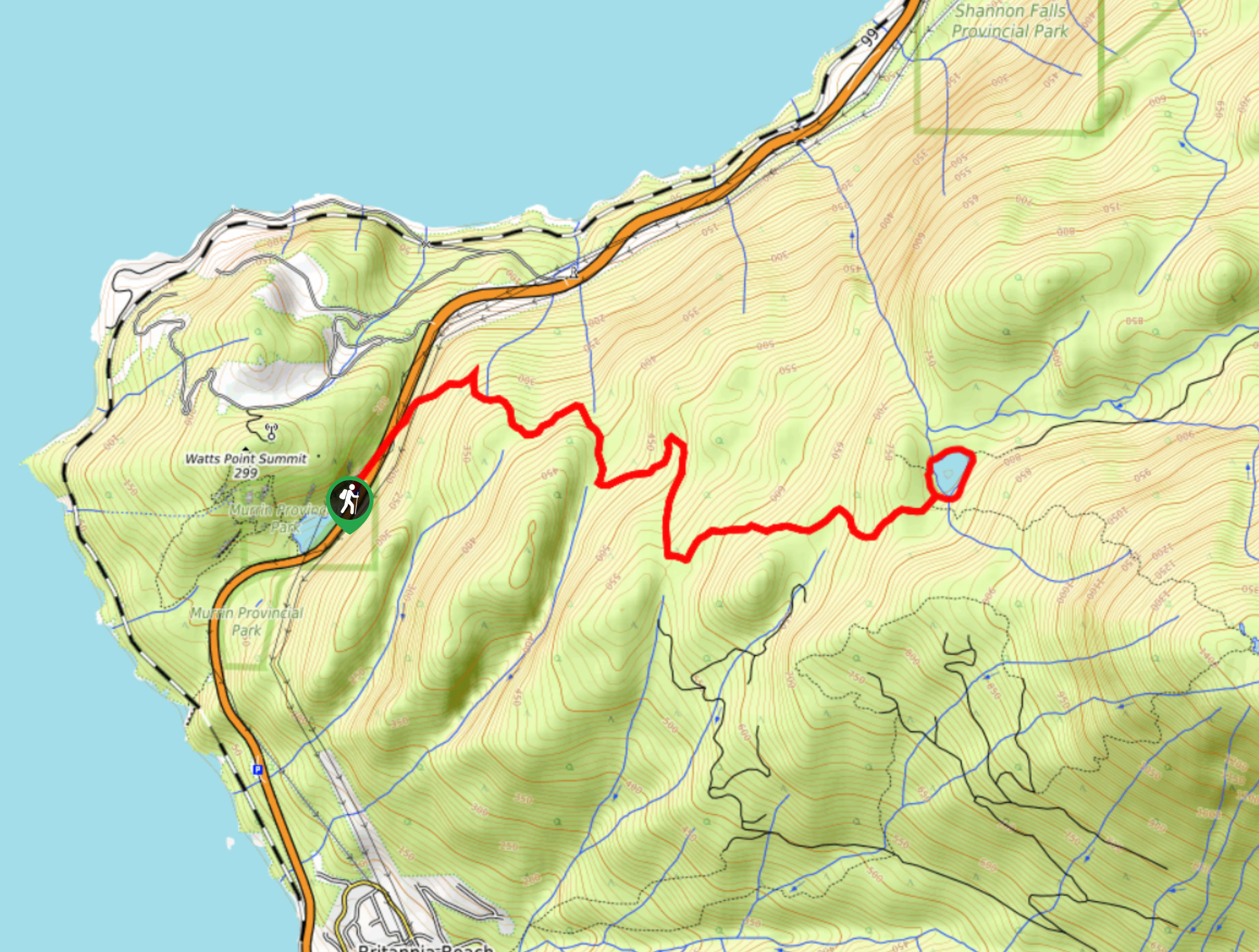
The Petgill Lake Trail is a scenic 5.9mi hiking route near Squamish that will see you embark from Murrin Provincial Park on a steep uphill climb towards the lake. Here, hikers will be able to explore the trails around the lake and swim in its refreshing waters before taking a short, optional hike up to a rocky outcrop for amazing views over Howe Sound. This half-day hike requires a bit of effort to work your way up along the trail, but the views and lakeside landscape are absolutely worth the trouble.
Getting there
To reach the parking area for the Petgill Lake Trail from the Sea to Sky Gondola in Squamish, drive south on BC-99 S for 3.0mi and turn right to enter the parking lot for Murrin Provincial Park. The trailhead can be found straight across the highway.

About
| When to do | March-October |
| Backcountry Campsites | No |
| Pets allowed | Yes |
| Family friendly | No |
| Route Signage | Average |
| Crowd Levels | Moderate |
| Route Type | Lollipop |
Petgill Lake Trail
Elevation Graph
Weather
Petgill Lake Trail Description
The Petgill Lake Trail is a 5.9mi lollipop route just outside of Squamish that climbs uphill to a serene lake and beautifully scenic views. Hikers along this trail should make sure to travel in groups and/or bring bear spray, as a portion of the trail that leads up to the lake is overgrown with berry bushes that are often chosen as a snacking spot for hungry black bears. The trail also has fairly steep sections throughout the uphill climb, so be sure to wear proper hiking footwear when working your way up to the lake.
This route is a great half-day hike for anyone that looks for a slight challenge while on the trail and enjoys great views from a peaceful lakeside setting. Sections of the trail do climb steeply uphill, but they are more than manageable and are offset by less-technical stretches along an old logging road. This makes for an enjoyable hike with a nice variation in terrain. When you reach the top of the hike, you will be greeted by the tranquil waters of the lake that almost beg to be disturbed on a hot summer day. A quick detour onto the rocky bluffs next to the lake reveals amazing views that look out over the blue expanse of Howe Sound stretching out before you. With such amazing views and a fun uphill climb, the Petgill Lake Trail is a great day trip to have in your back pocket for the next time you are in the Squamish area.
Setting out from the parking lot, safely make your way across the highway and locate the trailhead a bit further north along the side of the road. Here, you will find a faded sign marking the trailhead for Petgill Lake. The initial 328ft stretch will be a steep uphill climb through the forest with a technical trail that is littered with rocks and roots. Follow the orange trail markers, and you will begin to find that the footing along the trail will become easier, although it still climbs uphill at a good rate.
Continue your climb as the trail winds uphill through the forest and away from the highway, leaving the sounds of the passing cars behind you. Approximately 2625ft from the trailhead, the route will traverse several switchbacks before passing by a large natural rock formation to the left. Keep on this path, and roughly 0.9mi into the hike, it will meet up with an old logging road. Follow this to the right to continue your uphill climb towards Petgill Lake.
After crossing over a small stream, you will eventually reach a junction along the road. Following the route to the right, continue uphill and keep your eyes to the left to spot an orange trail marker that will mark the spot where you need to leave the road to pick up the trail. This can be a bit tricky to find, but the trail’s entry point sits approximately 2.2mi into the hike. Taking this path to the left, the trail will narrow considerably and climb steeply uphill through the forest. Continue working your way uphill and follow along the trail markers.
As you approach Petgill Lake, you will come to a junction in the trail marked for Goat Ridge to the right. Follow the path to the left to continue on to the lake, crossing over a rocky outcrop to arrive at the water’s edge. Take some time to explore the peaceful area around the lake or go for a quick swim in its refreshing waters.
On the west side of the lake, there is a short trail that leads up to a rocky bluff offering beautiful scenic views over Howe Sound. It’s a steep but short detour that is definitely worth the effort. Once you have had enough of the beautiful landscape around Petgill Lake, make your way back down along the same trail to return to the parking lot below.
Insider Hints
Bears are known to frequent this trail, so bring bear spray and/or travel in a group.
Bring proper hiking footwear, as the trail contains some steep and rocky sections that can be slippery.
Arrive early to ensure you get a parking space.
Bring swimwear for a quick swim in the lake.
Similar hikes to the Petgill Lake Trail hike
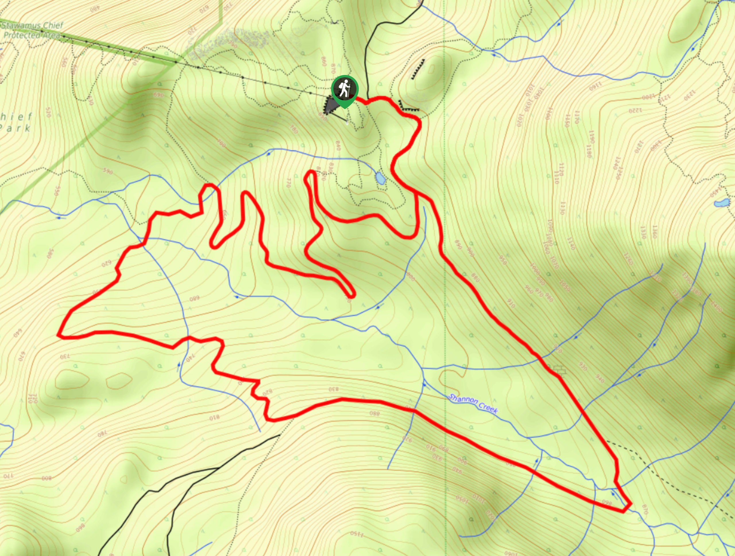
Shannon Basin Loop
The Shannon Basin Loop is a 5.9mi lollipop trail near Squamish, BC, that sets out from the top…
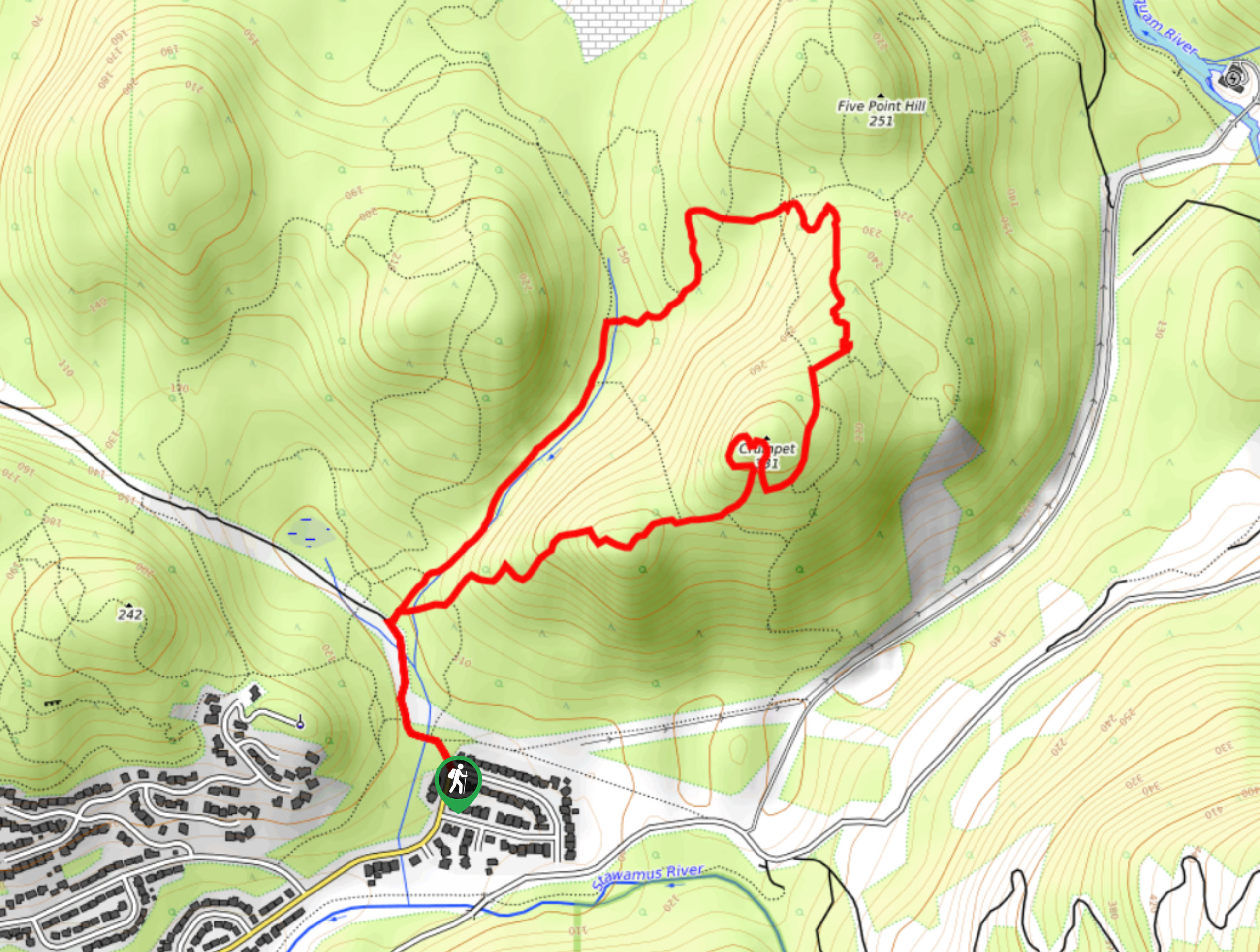
Mount Crumpit Trail
If you are into short hikes that will get your heart pumping and also have amazing mountain views, then the…
Skyline Ridge Trail
The Skyline Ridge Trail is a challenging 12.5mi uphill hiking route near Squamish that sets out from Stawamus…
Comments