
Echo Lake Trail
View Photos
Echo Lake Trail
Difficulty Rating:
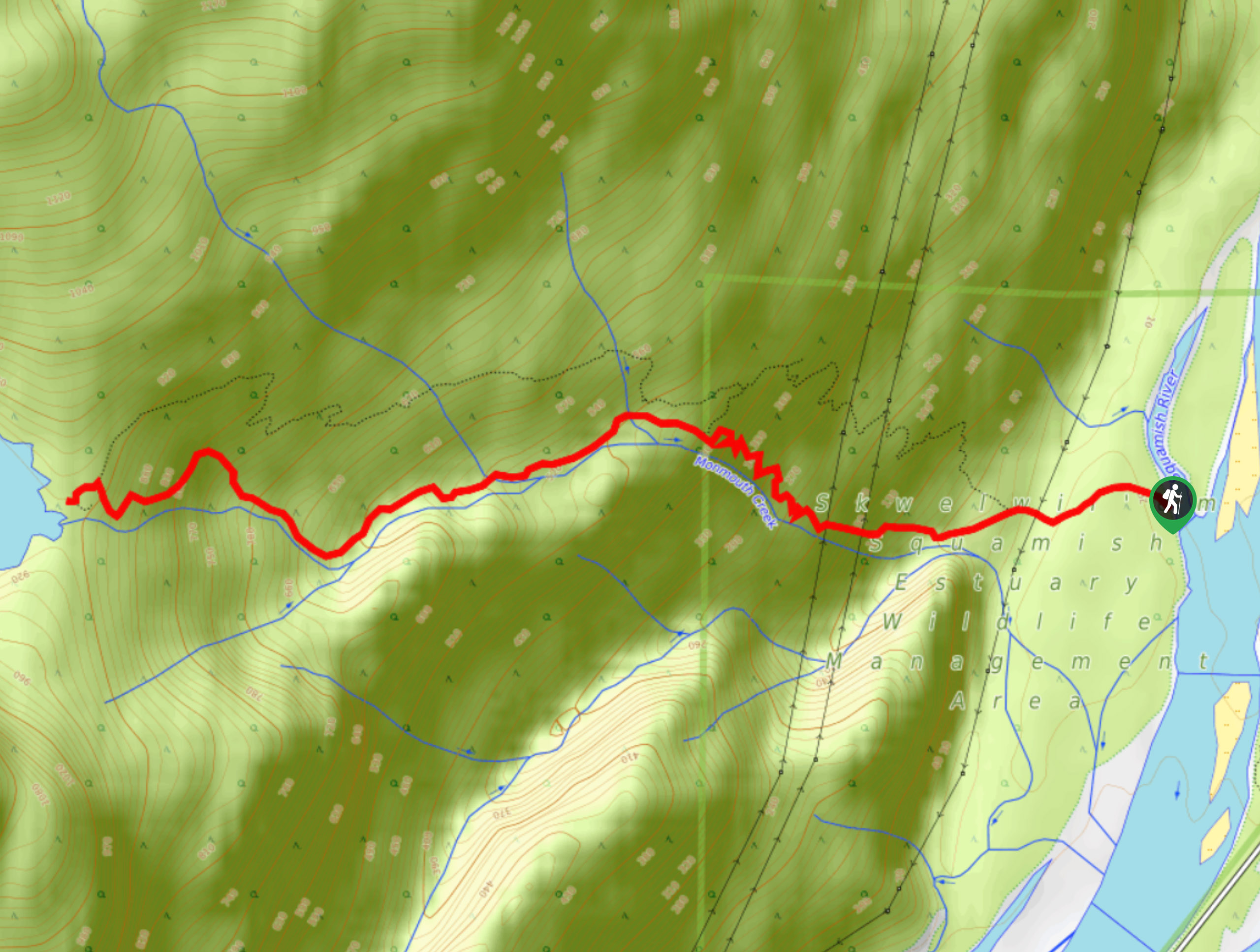
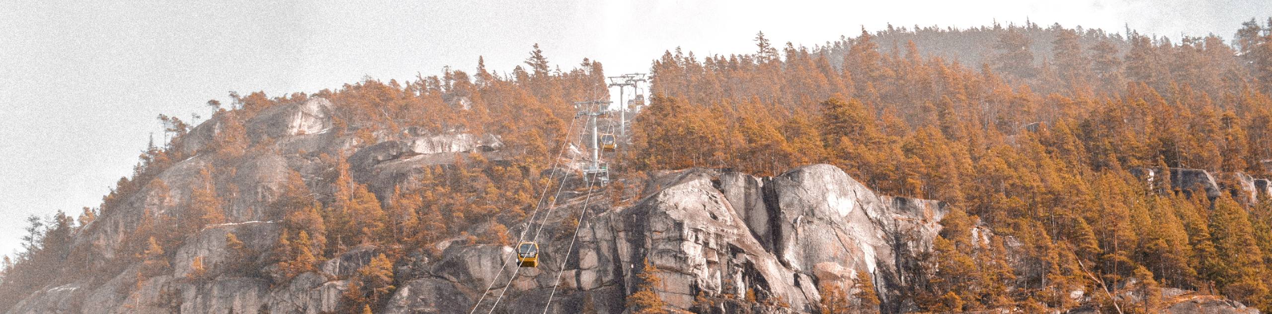
The Echo Lake Trail is a difficult 4.3mi out-and-back trail that sets out from the banks of the Squamish River on an uphill climb to the beautiful waters of Echo Lake. After crossing the river by boat, hikers will climb along the steep, wooded trail that contains several rugged scrambles to reach the serene shores of the lake and its scenic views over the Squamish Valley and Howe Sound. The hike down is a far easier affair, as the newly-created bypass trail offers a more gentle ascent back to the banks of the river.
Getting there
To reach the trailhead for the Echo Lake Trail from Squamish, drive north along BC-99 N and make a left turn onto Cleveland Avenue. After 1312ft, turn right onto Bailey Street and follow it to the right of the fork in the road. Continue on for 1.0mi, where you will make a left turn onto Spit Road. Keep on Spit Road for 2625ft, making a slight left to follow along the river to park near the boat launch area. From there, make your way across the Squamish River to access the trailhead.

About
| When to do | June-October |
| Backcountry Campsites | No |
| Pets allowed | No |
| Family friendly | No |
| Route Signage | Average |
| Crowd Levels | Moderate |
| Route Type | Out and back |
Echo Lake Trail
Elevation Graph
Weather
Echo Lake Trail Description
The Echo Lake Trail is a full-on adventure hike just west of Squamish that takes hikers on a 4.3mi climb through the forest up to Echo Lake. Due to the location of the trailhead on the western bank of the Squamish River, hikers will need to make arrangements to cross the river to set out on their trek. This can be done by canoeing, kayaking, or paddle boarding across the river; however, you should always practice caution and check the status of the river before setting out. Alternatively, you also have the option of hiring a company to safely transport you across if paddling the waters of the Squamish River is not your style.
The trail up to the lake is a difficult climb, with variations in terrain that include several scrambles, as well as beautiful stretches of mixed forest with rock/root covered trails. It is recommended that hikers wear proper hiking footwear for the journey, especially considering the trail’s steep nature. Additionally, a newly created bypass route runs parallel to the trail, enabling a faster and less demanding – albeit less scenic – route back to the trailhead for those looking to enjoy a more gentle descent.
After making your way across the Squamish River via your desired method of transportation, search for the trailhead by walking north along the bank of the river. Once located, the trail will be clearly marked for the remainder of your hike. Set out on the trail and keep left along the path as it hugs closely to the meandering Monmouth Creek. The first section of the hike will be very steep, with some views of beautiful waterfalls along the trail. From here, the route will transition to a section of forest with a less demanding incline along the trail before ramping back up again on the final ascent to Echo Lake.
Once you reach the lake, enjoy the scenic views of the water and explore the area for some amazing viewpoints of the Squamish Valley, the Stawamus Chief, and Howe Sound. After you have experienced the natural beauty of Echo Lake, head back down the exact same trail or take the newly-created bypass route to the left to follow an easier parallel track back down to the trailhead. From there, make your way back across the Squamish River to complete your epic day along the Echo Lake Trail.
Similar hikes to the Echo Lake Trail hike
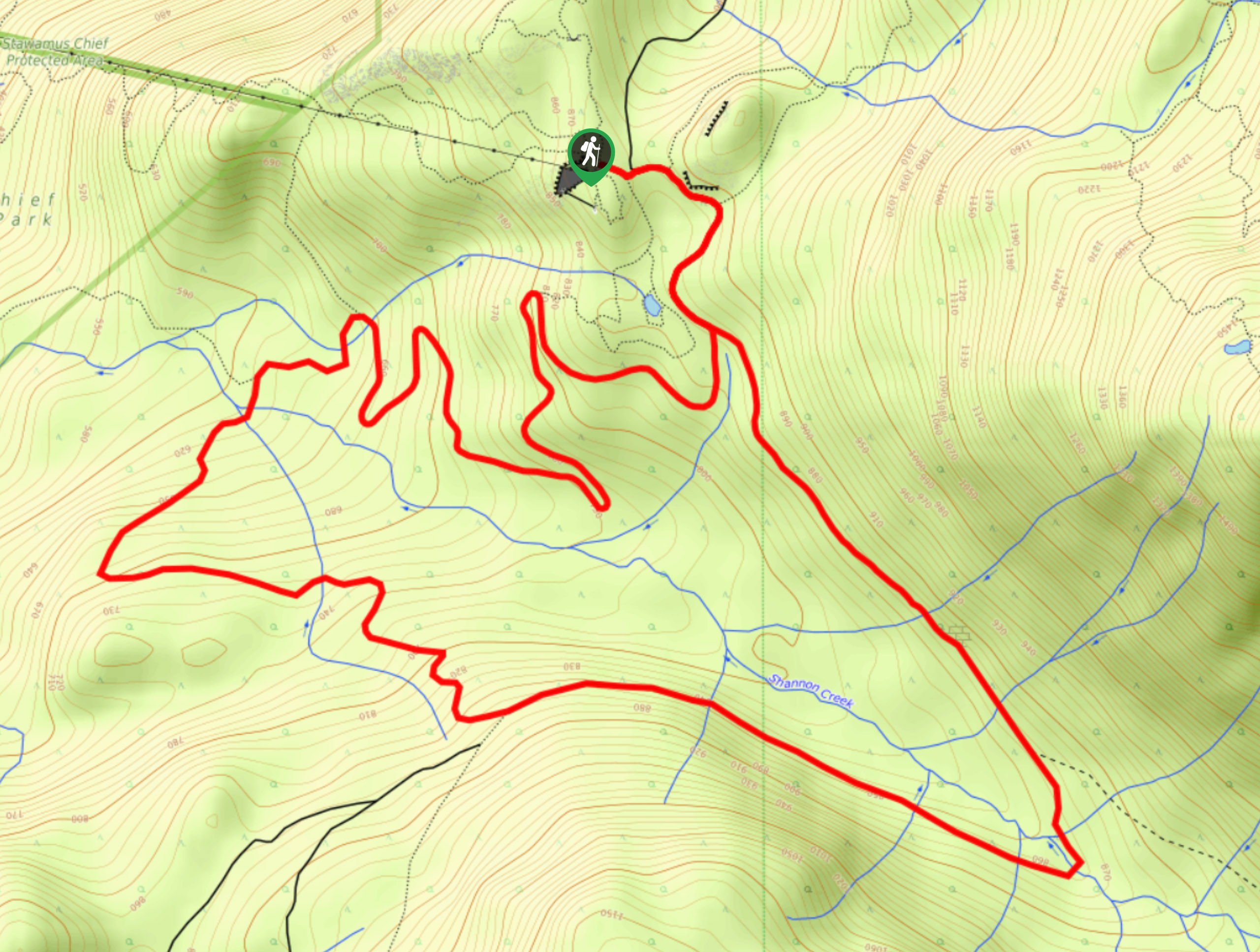
Shannon Basin Loop
The Shannon Basin Loop is a 5.9mi lollipop trail near Squamish, BC, that sets out from the top…
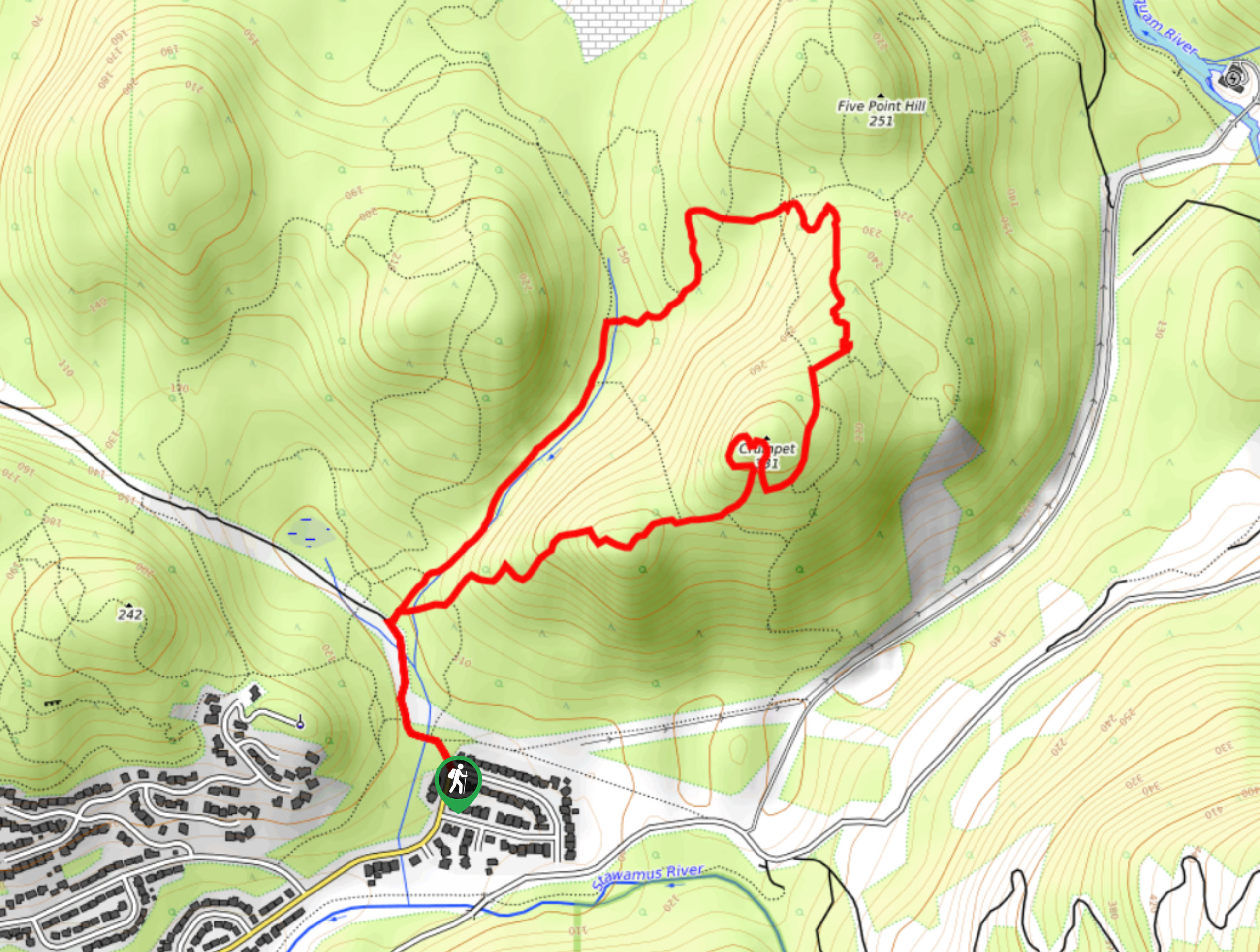
Mount Crumpit Trail
If you are into short hikes that will get your heart pumping and also have amazing mountain views, then the…
Skyline Ridge Trail
The Skyline Ridge Trail is a challenging 12.5mi uphill hiking route near Squamish that sets out from Stawamus…
Comments