Lake Thomas A. Edison Hike
View Photos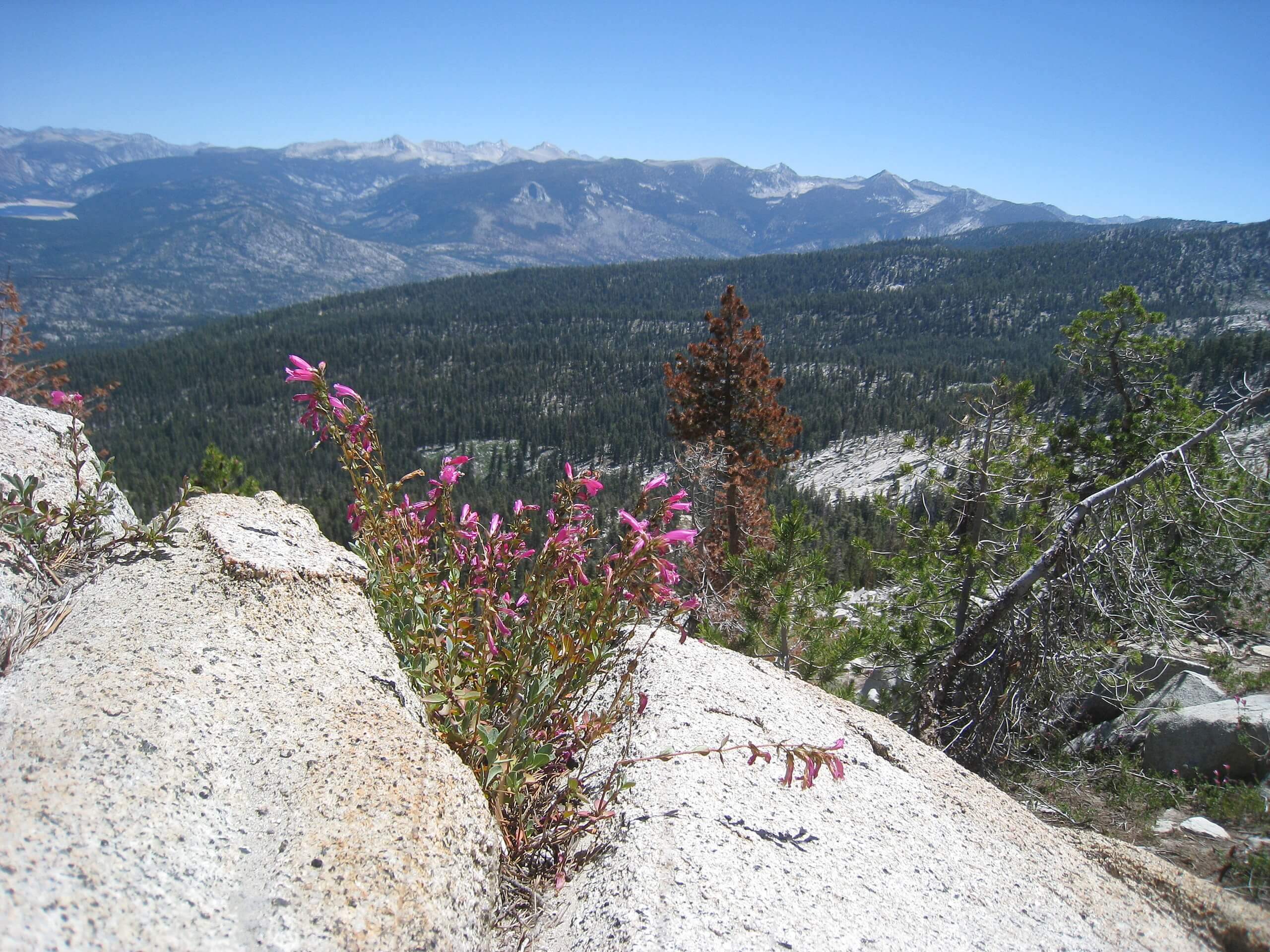
Lake Thomas A. Edison Hike
Difficulty Rating:
The Lake Thomas A. Edison Trail is a must-add to your Sierra National Forest hiking itinerary. This hidden gem of a hike travels through lush woodlands and along the shoreline of the shimmering alpine lake. Unfortunately, we fear this trek won’t stay hidden for much longer, so head out there before the crowds do!
Getting there
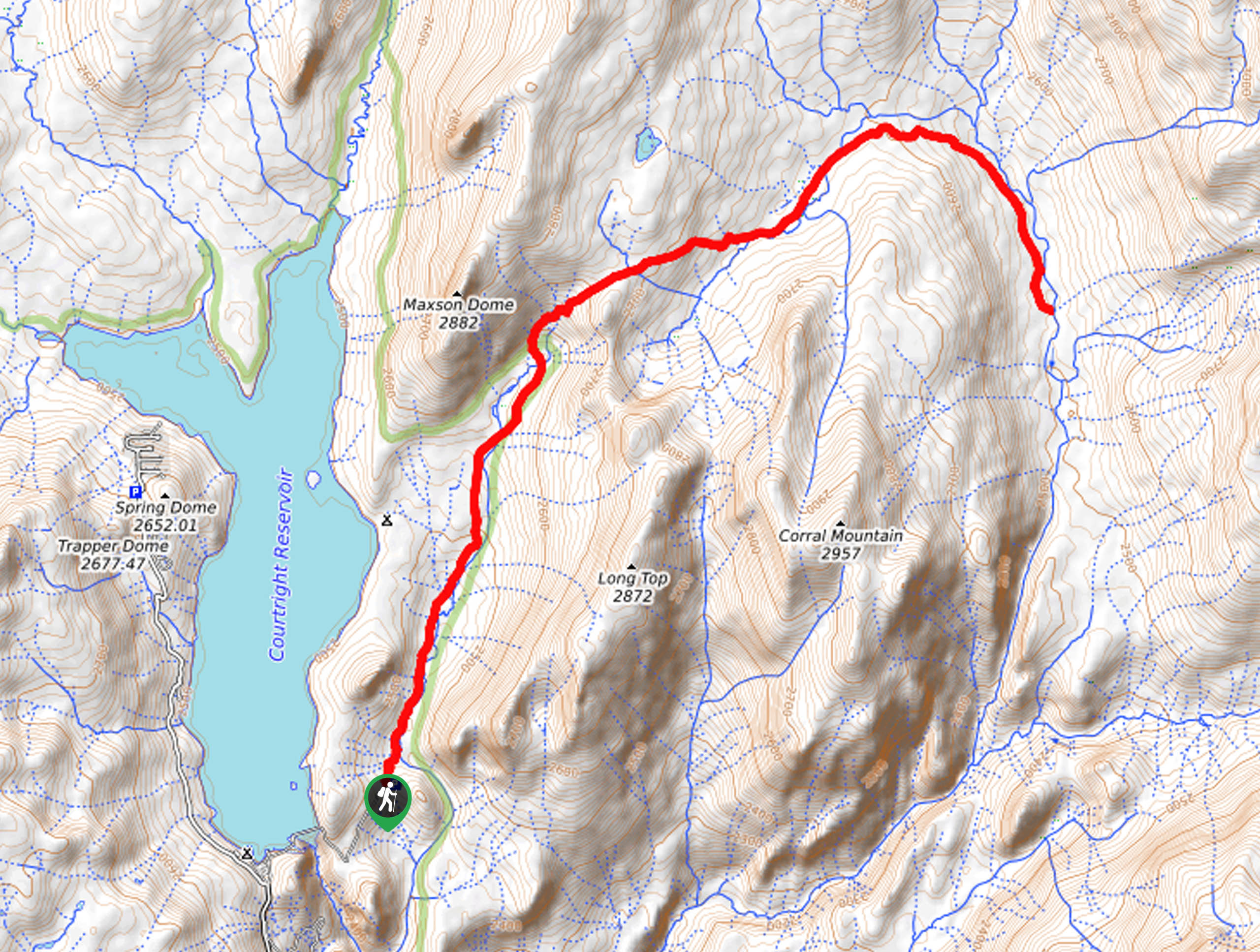
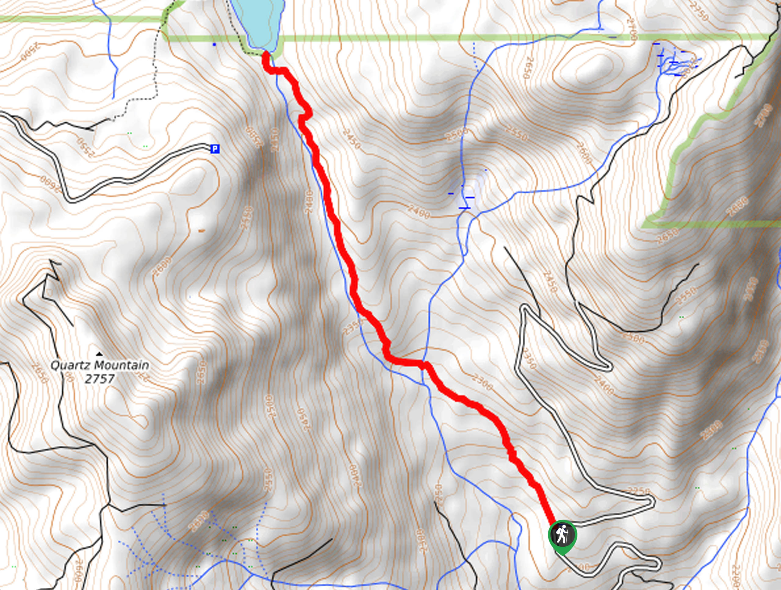
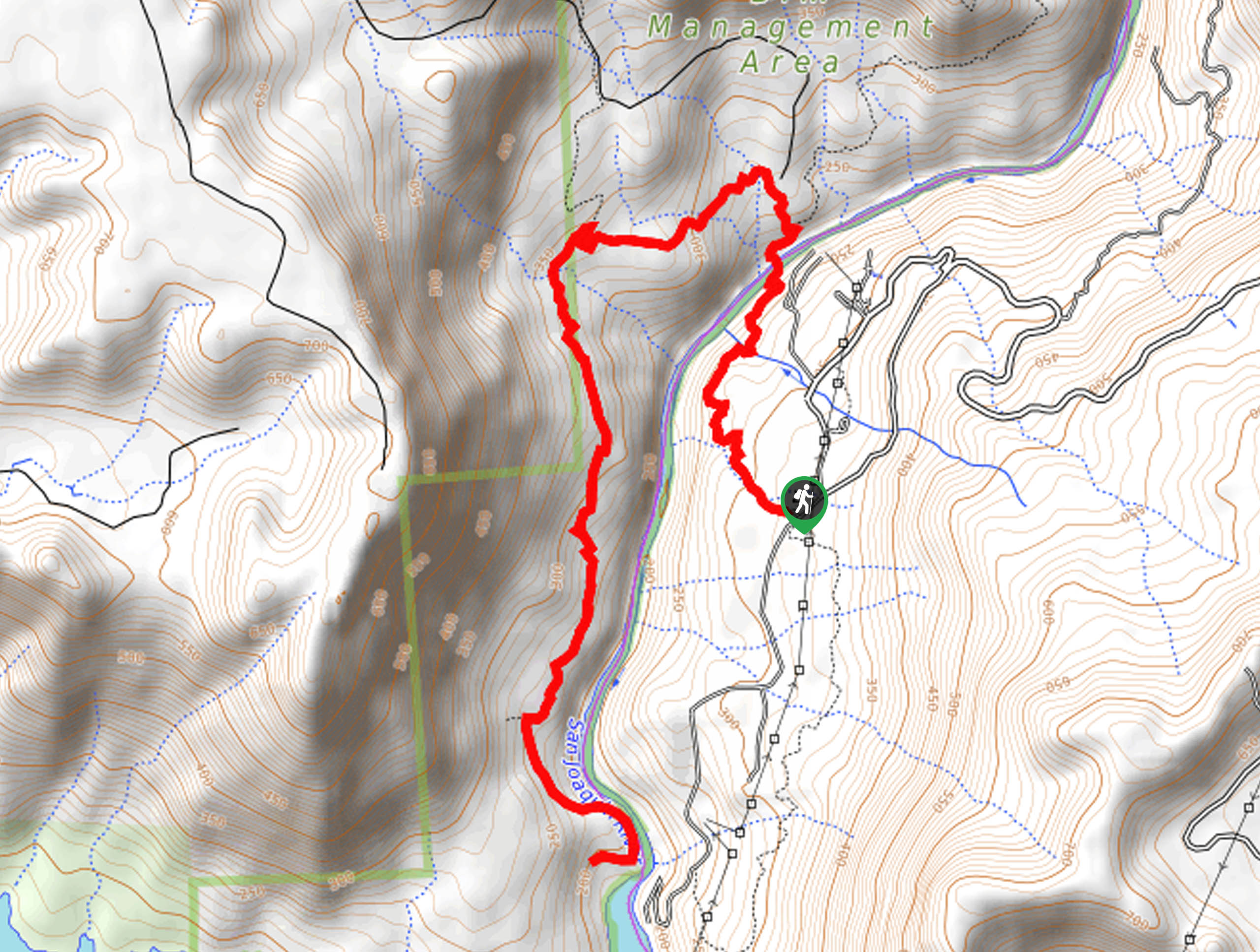
The Lake Thomas A. Edison Hike departs from the High Sierra Pack Station Trail off Kaiser Pass Road.

About
| Backcountry Campground | |
| When to do | June-October |
| Pets allowed | Yes - On Leash |
| Family friendly | Older Children only |
| Route Signage | Average |
| Crowd Levels | Low |
| Route Type | Out and back |
Lake Thomas A. Edison Hike
Elevation Graph
Weather
Lake Thomas A. Edison Hike Description
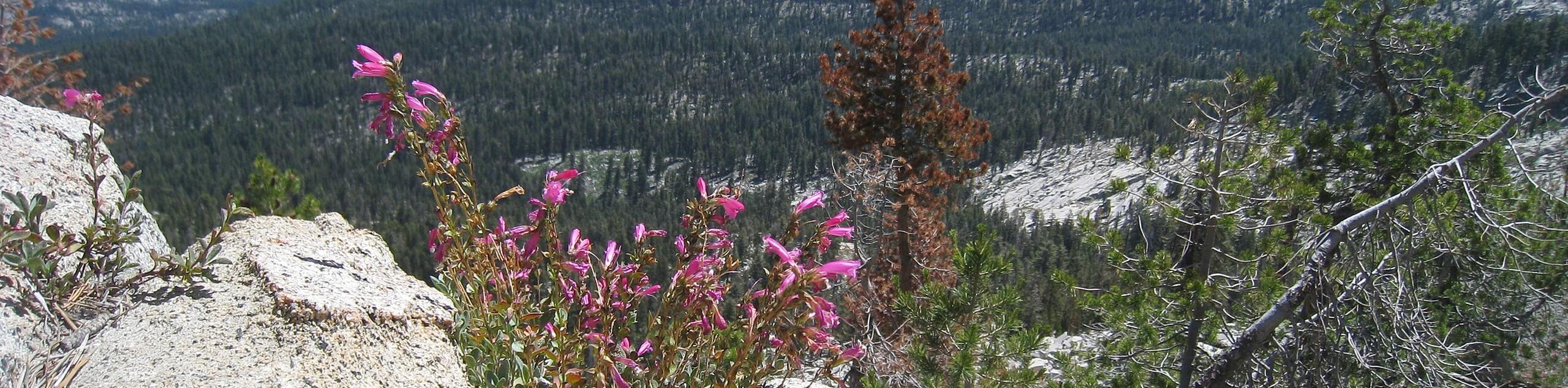
The Lake Thomas A. Edison Trail is a secluded adventure that will surely lull you into a state of relaxation as you wander through the enchanting woodlands. This trail is a great backpacking route; it can also be enjoyed as an epic overnight backpacking expedition! As you wander along the north shore of the lake, this scenic route will weave you between dense woodlands and exposed shoreline cliffs. This hike is an excellent choice for your next day-hike, so what are you waiting for?
Setting out from the trailhead, the Lake Thomas A. Edison Trail follows the High Sierra Pack Station Trail. This path will guide you east through the woodlands, over Cold Creek, and near the shoreline of Lake Thomas A. Edison. Enjoy the views of the shimmering lake through the tree breaks as you navigate the undulating path. Soon you will be led up a bluff before dipping down to the shores of the alpine lake. Notice the Vermillion Ferry lapping around the lake, and you will eventually reach your turnaround point at the Edison Ferry Pickup.
From here, you will be granted impressive views of the length of the lake in the southwest. Revel in the beauty of the High Sierra scenery, and when you are set, head back along the route back to the trailhead.
Similar hikes to the Lake Thomas A. Edison Hike hike
Post Corral Meadows Trail
A popular backpacking route turned epic day hike, the Post Corral Meadows Trail is an epic back-country expedition. Hike amongst…
Chiquito Pass Trail
The Chiquito Pass Trail is arguably one of the most scenic adventures in the Sierra National Forest. Wander up through…
Wuh-Ki'o Trail
The Wuh-Ki'o Trail is an unassumingly picturesque adventure in the Sierra National Forest. Traveling through meadowlands, brush, over bridges, and…
Comments