
Kings River Trail
View Photos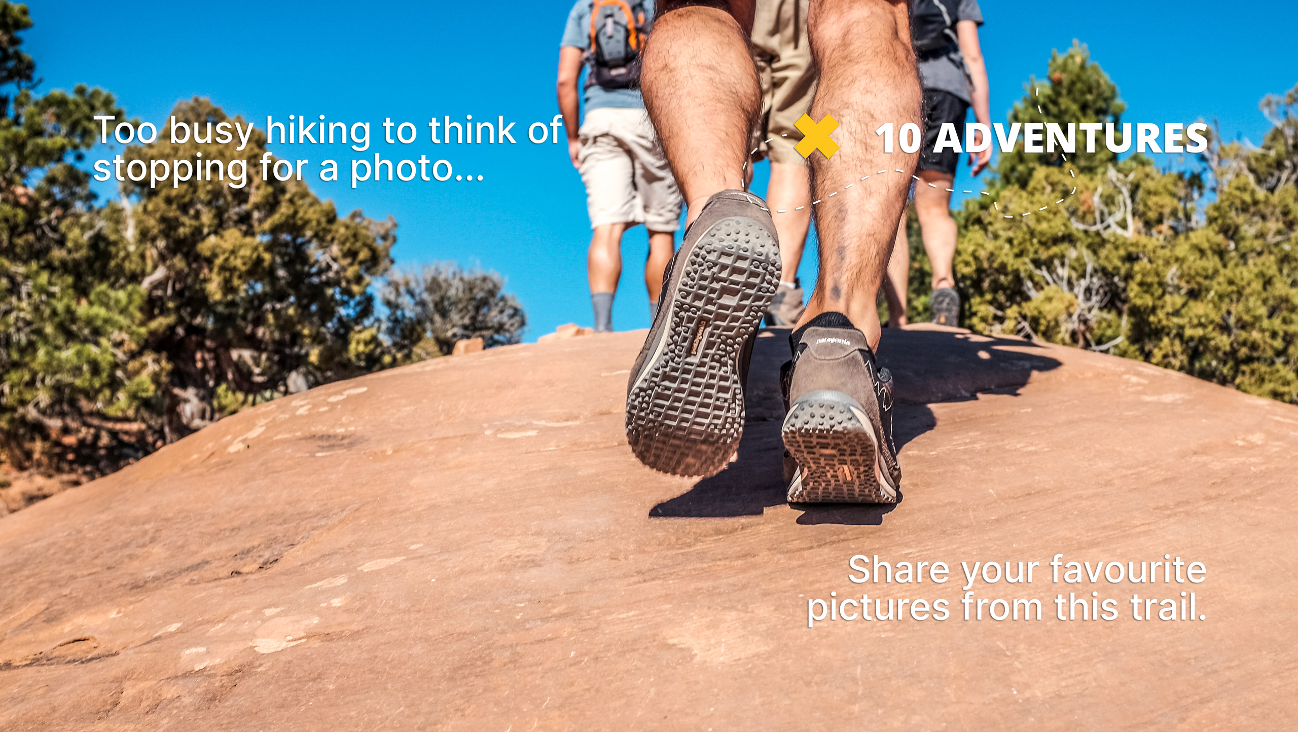
Kings River Trail
Difficulty Rating:
The Kings River Trail is a stunning adventure in the Sierra National Forest that the whole family can enjoy. Wander through the river valley meadows along the rushing waters of Kings River, whilst marveling in the views of the bounding Sierra Nevada Mountains.
Getting there
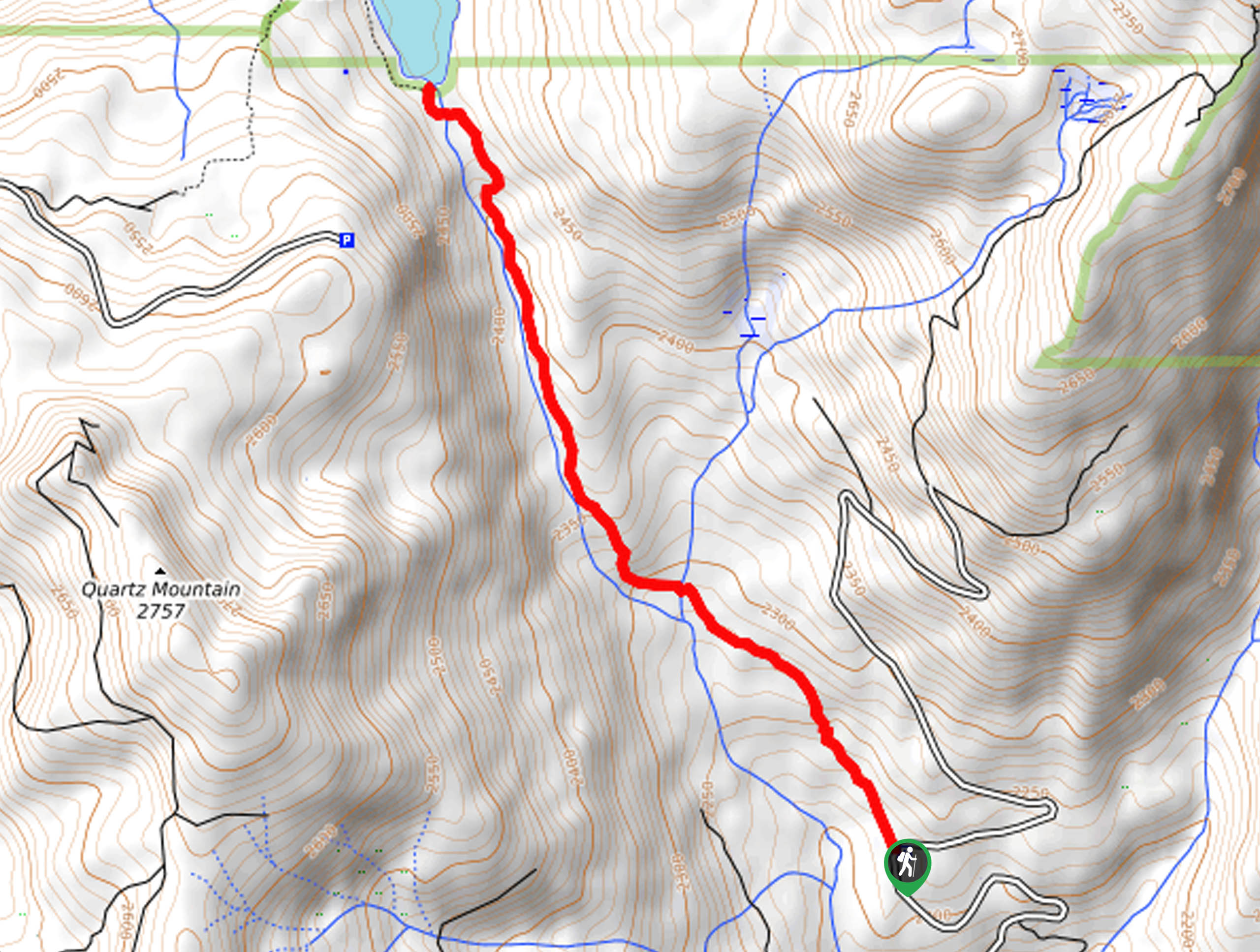
The Kings River Trail is accessed via the trailhead at the end of the Garnet Dike Road.

About
| Backcountry Campground | No |
| When to do | Year-round |
| Pets allowed | No |
| Family friendly | Yes |
| Route Signage | Average |
| Crowd Levels | Moderate |
| Route Type | Out and back |
Kings River Trail
Elevation Graph
Weather
Kings River Trail Description
The Kings River Trail is an excellent, easy-going hike in the Sierra National Forest that boasts incredible views. Wander the river valley through meadowlands and mixed forestlands along the rushing waters of Kings River. Much of this path is exposed, so make sure you dress accordingly, wearing sun protection in the summer months! Don’t forget to charge your camera; the stunning scenery warrants countless photo ops.
Setting out from the trailhead, the Kings River Trail heads east, crossing over several snowmelt streams. As you hike further into the wilderness, the path will medley undulate as you weave between brush and grassy meadowlands. Let the sounds of the gurgling waters lull you into a state of relaxation as you hike, and let the breathtaking views overwhelm you. The beauty along this route is truly unparalleled. You will notice Converse Peak and Yucca Point in the southeast and Spanish Mountain in the northeast.
The beauty of this out and back route is that you can customize it to your liking. We hiked just past the first island that split the river, but you can venture further if you have the gas left in the tank. Then, when you are ready to head back, simply retrace your footing along the path back to the trailhead.
Similar hikes to the Kings River Trail hike
Chiquito Pass Trail
The Chiquito Pass Trail is arguably one of the most scenic adventures in the Sierra National Forest. Wander up through…
Wuh-Ki'o Trail
The Wuh-Ki'o Trail is an unassumingly picturesque adventure in the Sierra National Forest. Traveling through meadowlands, brush, over bridges, and…
Davis Flat Trail
Experience the grandeur of the Sierra Nevada Mountains as you hike through the Kings River Valley, bounded by rolling hills.…
Comments