Lake Helen Hike
View Photos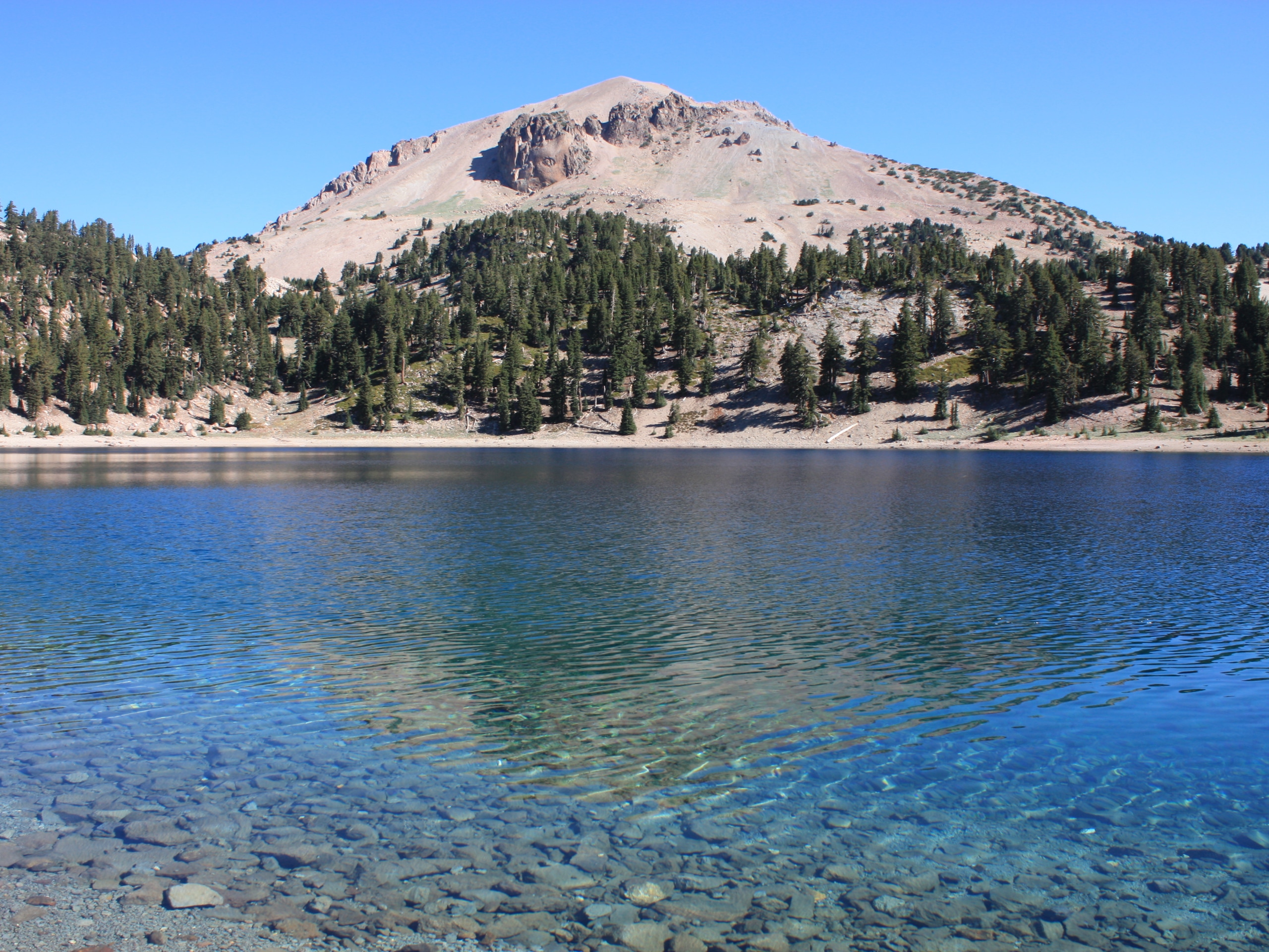
Lake Helen Hike
Difficulty Rating:
The hike up to Lake Helen is a classic adventure in the Shasta-Trinity National Forests that beckons intrepid adventures year-round. Located on the southwestern slopes of Mount Shasta, the second-highest volcano in the Cascade Range, this hike is well revered. Hike up Avalanche Gulch to the glacial lake and high camp which offer epic views of the majestic landscape.
Getting there
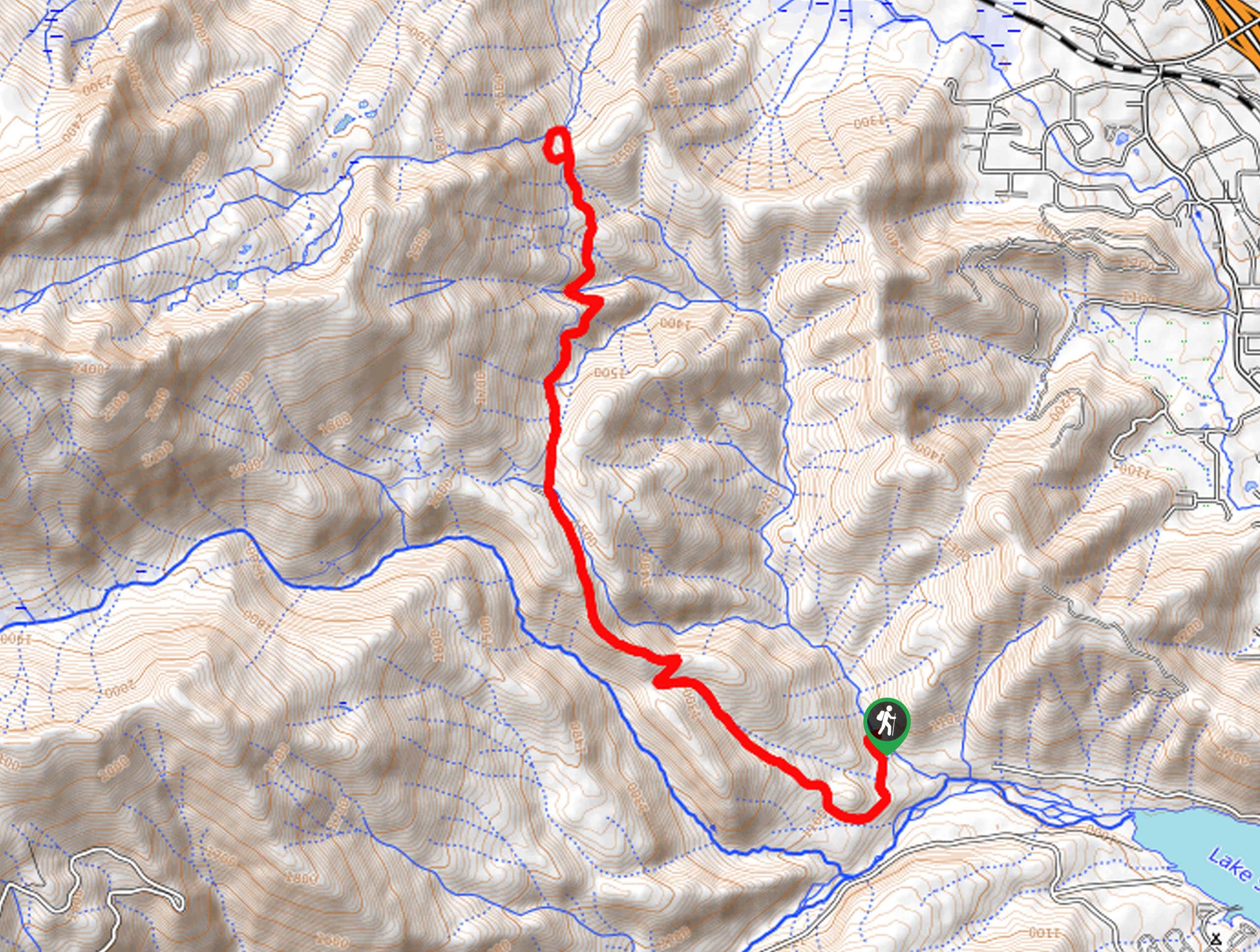
The Lake Helen Hike departs from the Bunny Flat Trailhead off Everitt Memorial Highway.

About
| Backcountry Campground | Lake Helen High Camp |
| When to do | Year-round |
| Pets allowed | No |
| Family friendly | No |
| Route Signage | Average |
| Crowd Levels | High |
| Route Type | Out and back |
Lake Helen Hike
Elevation Graph
Weather
Lake Helen Hike Description
Offering breathtaking scenery, the Lake Helen Hike is no walk in the park. This epic expedition into the high country demands experience and proper preparation. Traveling to high altitudes, you can expect snow-packed terrain and extreme conditions year-round. Dress in layers, wear crampons, acclimatize to the elevation and check the forecast prior to departure. Additionally, as the route ascends Avalanche Gulch, it is extremely important to be mindful and educated in the case of an avalanche; check the Avalanche Center website for daily risk updates. We encourage you to download the trail GPS before your trek, as the route can be difficult to navigate. Note that climbing rangers often hike amongst adventurers—follow their direction when applicable.
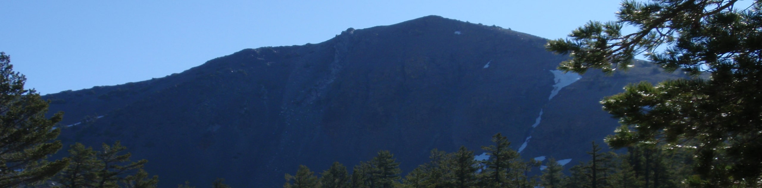
Reserved for experienced hikers and those seeking a challenge, the Lake Helen Hike rewards its exhausted conquerors with unrivaled vistas of Mount Shasta looming above and the encompassing mountainous landscape. Explore mixed conifer forests before exceeding the timberline into the alpine tundra often cloaked in snow. As you ascend the vertiginous slopes into the clouds, you will be overwhelmed by the sights of the glissades and glaciers. Though this route can be managed in one day, we encourage you to camp overnight at the Lake Helen High Camp, then continue up to the summit of the famous volcano the following day. Why not? You’re halfway there anyway! Note: a permit is needed if you think you may stay overnight in the wilderness.
Once you are properly equipped, you can begin your adventure along the Helen Lake Hike from the Bunny Flat Trailhead. Setting out along the Horse Camp Trail, the initial segment of the hike rambles up a wide dirt route through a mixed-conifer forest. Not long after your departure will you reach the Horse Camp. Many hikers set up camp beneath the coverage of moss-ringed conifers; you will also find a solar toilet and an accessible runoff water source here. Beyond this point, the tree coverage will gradually thin until you top the timberline. You will ultimately reach an intersection with the Avalanche Gulch Trail; veer right onto this route.
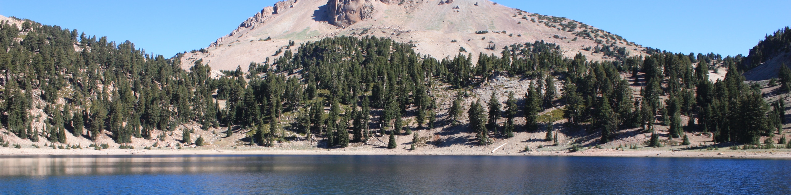
Here begins the most challenging segment of your adventure. Enjoy the scene of the forest you left behind as you make your way up the vertiginous ditch. As you cannot see the high camp, you will be deceived by the abundance of ridges you will have to summit before reaching Lake Helen. You will ultimately reach your destination of Lake Helen, which sits in the ditch between Casaval Ridge and Shastarama Point. Marvel in the grandeur of the encompassing ridges and Mount Shasta above—not to mention the expansive panoramas of the Klamath Mountains. If you are staying the night, set up shop like the rest of the adventurers. If not, retrace your footing down the slopes back to the trailhead when you are ready to head back.
Trail Highlights
Lake Helen
Lake Helen is a glacial lake occupying a ditch, perched at 10400ft of elevation. Located in Avalanche Gulch on the southwestern slope of Mount Shasta, the high camp here is customarily used as a halfway point up to the top of Mount Shasta. Unlike most alpine lakes, Lake Helen is rarely full of water. Instead, the basin is often dry or cloaked in copious amounts of snow.
Frequently Asked Questions
What elevation is Lake Helen on Mount Shasta?
Mount Shasta sits at an elevation of over 10400ft above sea level.
Is there a lake at the top of Mount Helen?
Lake Helen and the high camp are located about halfway up to the summit of Mount Shasta.
How long is the Lake Helen Hike?
The Lake Helen Hike is a 6.5mi out-and-back trail.
Insider Hints
Wear gaiters to avoid getting your feet soaked with snow
Pack microspikes
Acclimatize to the area prior to your climb
Head out before dawn if you are tackling this trek in one day
Download the trail GPS and consider a satellite communicator
Be wary of avalanches
Similar hikes to the Lake Helen Hike hike
Sisson Callahan Trail
The Sisson Callahan Trail is an awesome one-way expedition through the Trinity Alps Wilderness that boasts incredible views of the…
Wagon Creek Falls via Deer Creek Hike
The Wagon Creek Falls via Deer Creek Hike beckons intrepid explorers who won’t shy away from a challenge. Put your…
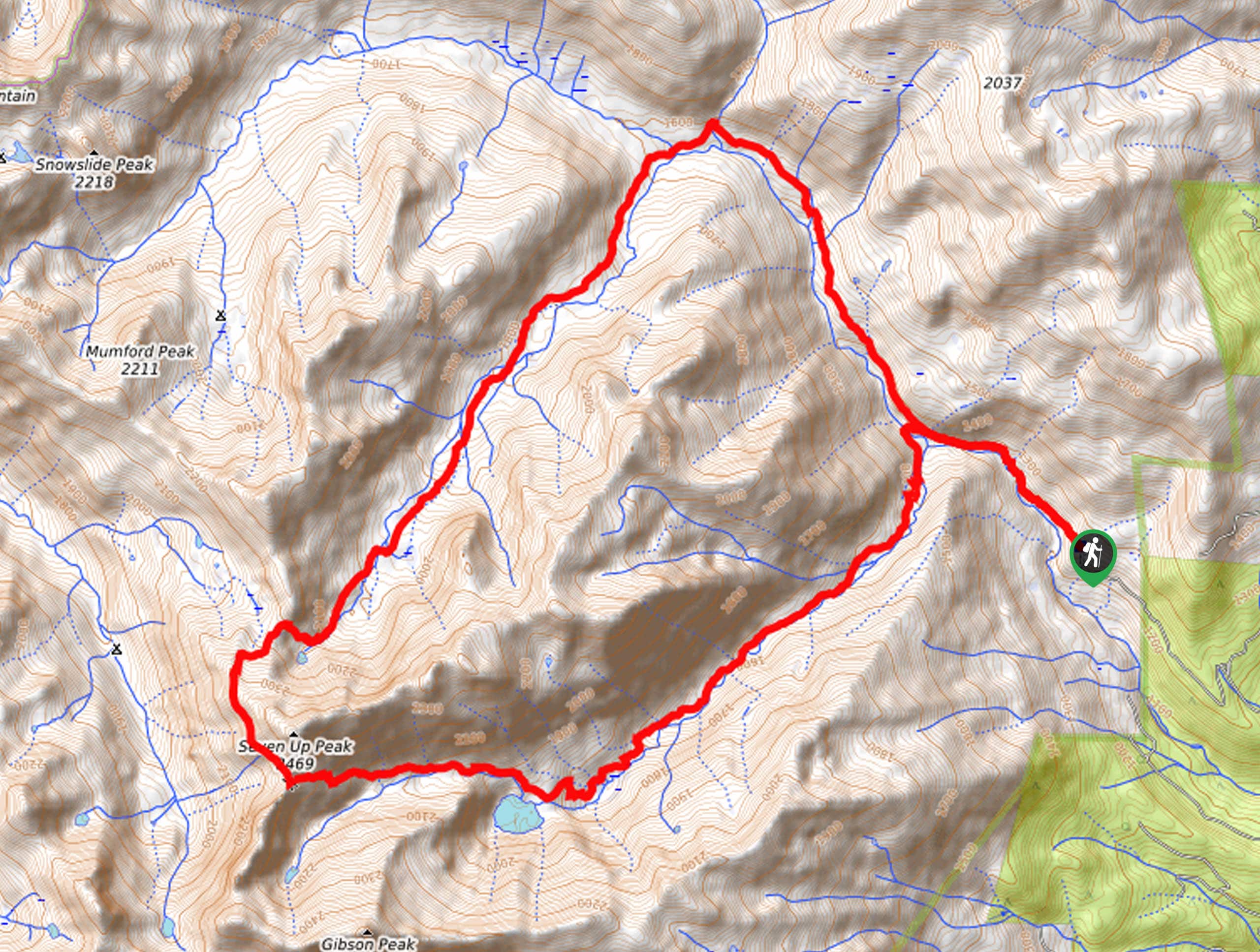
Bear Basin Loop
Seeking a day hike in the Trinity Alps Wilderness that checks all the boxes—long, scenic, diverse, and well maintained? Well,…
Comments