
Burstarse Falls Hike
View Photos
Burstarse Falls Hike
Difficulty Rating:
The Burstarse Falls Trail is an awesome adventure in the Castle Crags Wilderness that intermediate hikers and families with older children can enjoy. Explore the mixed-conifer woodlands, montane meadowlands, and granite gardens before culminating at the hypnotizing cascade.
Getting there
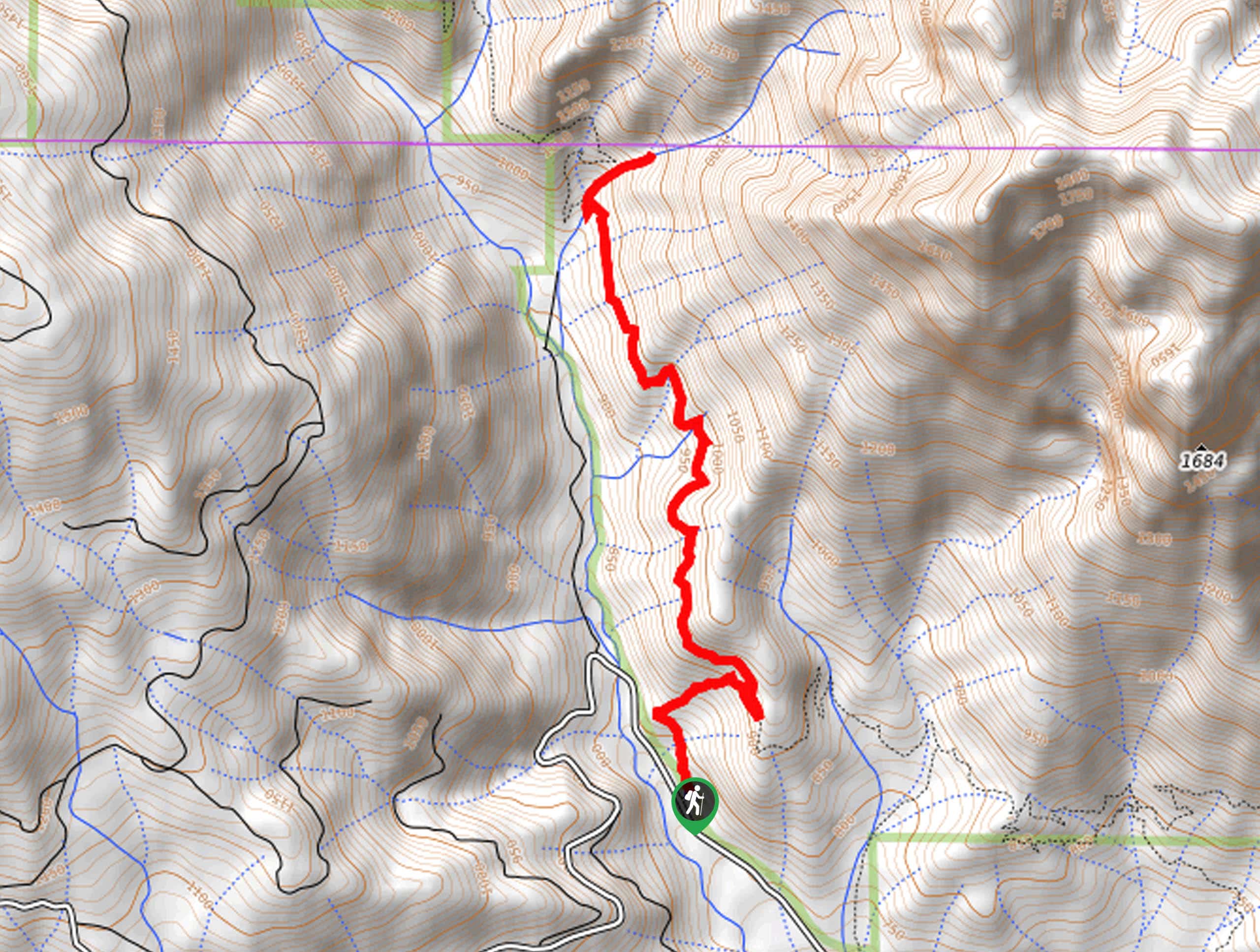
The Burstarse Falls Hike departs from the Dog Trailhead off National Forest Development Road 25.

About
| Backcountry Campground | |
| When to do | Year-round |
| Pets allowed | Yes - On Leash |
| Family friendly | Older Children only |
| Route Signage | Average |
| Crowd Levels | High |
| Route Type | Out and back |
Burstarse Falls Hike
Elevation Graph
Weather
Burstarse Falls Hike Description
Indulge yourself in a wonderful waterfall adventure along the Burstarse Falls Trail. This awesome adventure makes for a great day of hiking in the Shasta-Trinity National Forest. Note there are a few stream crossings, so be prepared to get your feet wet! Additionally, the route is overgrown in sections, so the trail GPS may prove useful! Though the falls surge year-round, hike in the spring for the best experience.
Setting out from the Dog Trailhead, the Burstarse Falls Hike travels northeast, steeply climbing up the forested route. Soon after your departure from the trailhead, you will reach an intersection, veer left here, and you will be diverted onto the PCT. Here the terrain will plateau, leading adventurers north through the woodlands and meadowlands, over several snowmelt creeks.
Eventually, you will need to turn right onto a poorly marked route up to the Burstarse Falls. This path is very steep and rocky up to the waterfall. Admire the scene of the cascades pouring over the craggy granite cliffside, ad when you are ready, retrace your steps all the way back to the trailhead.
Similar hikes to the Burstarse Falls Hike hike

East Weaver Lake Trail
The East Weaver Lake Trail is a wonderful adventure on the boundary of the Trinity Alps Wilderness that features amazing…

Bluff Lake via PCT
The Bluff Lake via PCT is a secluded adventure in the Shasta-Trinity National Forest that offers wonderful scenery and makes…
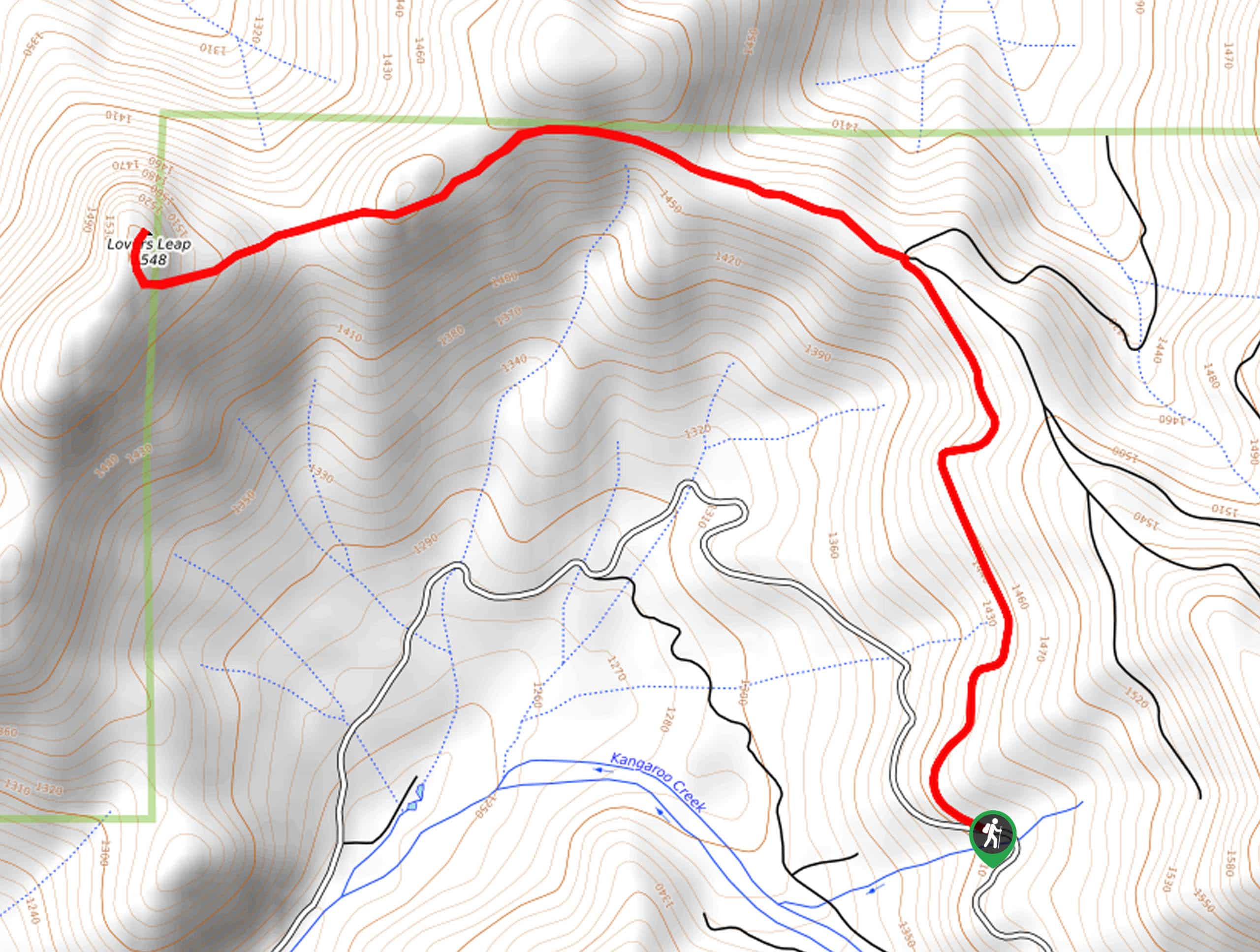
Lover’s Leap Hike
The Lover’s Leap Hike is an awesome adventure up to the summit of a granite bluff overlooking the Cascade Range…
Comments