Great Shasta Rail Trail
View Photos
Great Shasta Rail Trail
Difficulty Rating:
The Great Shasta Rail Trail is a scenic nature walk along the old rail bed. This one-way adventure through the mixed coniferous forests over babbling brooks can be enjoyed by the whole family year-round!
Getting there
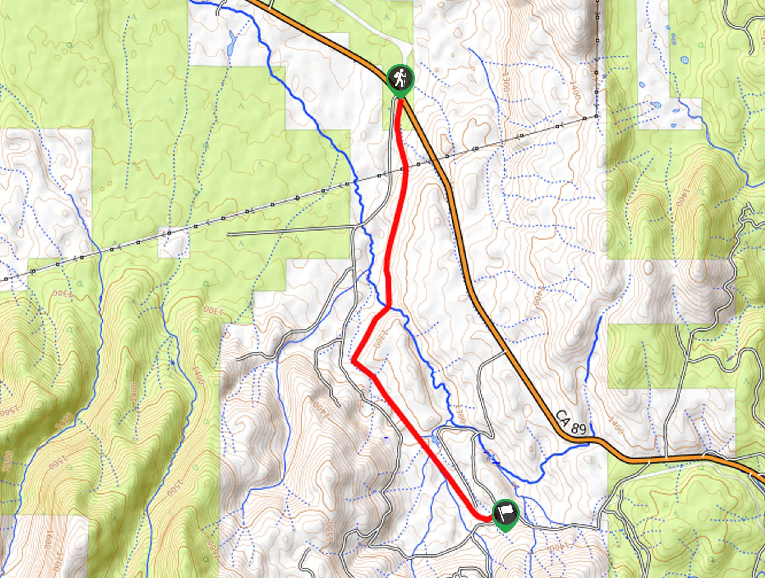
Access this hike from the trailhead State Route 89.

About
| Backcountry Campground | No |
| When to do | Year-round |
| Pets allowed | Yes - On Leash |
| Family friendly | Yes |
| Route Signage | Average |
| Crowd Levels | Low |
| Route Type | One Way |
Great Shasta Rail Trail
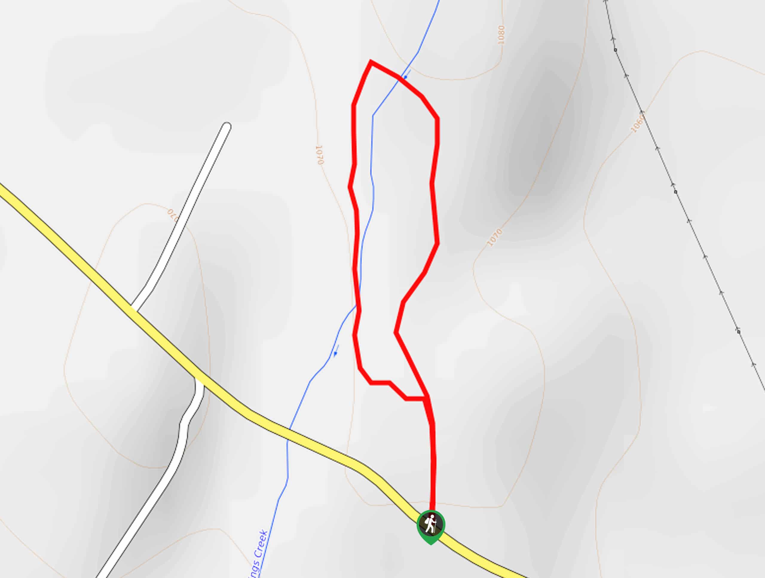
Elevation Graph
Weather
Great Shasta Rail Trail Description
Those seeking an easy-going adventure to escape the hustle and bustle of the real world will enjoy this adventure. Accessible year-round, this hike boasts awe-inspiring scenery from the running creeks, wildflowers, and lush conifers. Though this adventure is classified as a one-way hike, you can easily turn around and retrace your footing, making it an out and back adventure if you please. If you are tackling this trek as a point-to-point hike, don’t forget to leave a car or arrange for pickup at the trails’ end.
Setting out from the trailhead off State Route 89, the Great Shasta Rail Trail travels southwardly into the woodlands along the Great Shasta Rail Trail: Burney Branch. Gradually climbing along the old railbed, the route will intersect with the McCloud River and eventually Moose Creek. Take the time to admire the encompassing scenery as you hike.
You will ultimately reach the route’s end at the Bartle Gap Road. This marks the end of your adventure if you had arranged for pick up, and if not, simply retrace your footing along the route back to the trailhead.
Similar hikes to the Great Shasta Rail Trail hike

East Weaver Lake Trail
The East Weaver Lake Trail is a wonderful adventure on the boundary of the Trinity Alps Wilderness that features amazing…
Elsa Rupp Nature Trail
The Elsa Rupp Nature Trail is a wonderful escape from the hustle and bustle of the city. Reconnect with nature…

Bluff Lake via PCT
The Bluff Lake via PCT is a secluded adventure in the Shasta-Trinity National Forest that offers wonderful scenery and makes…
Comments