
Muir Grove Trail
View PhotosMuir Grove Trail
Difficulty Rating:
A hike along the Muir Grove Trail boasts an enchanting experience. Wander through a corridor of giant sequoias and admire the area’s diversity of flora and fauna. This family-friendly hike would make a great addition to your Sequoia National Park to-do list.
Getting there
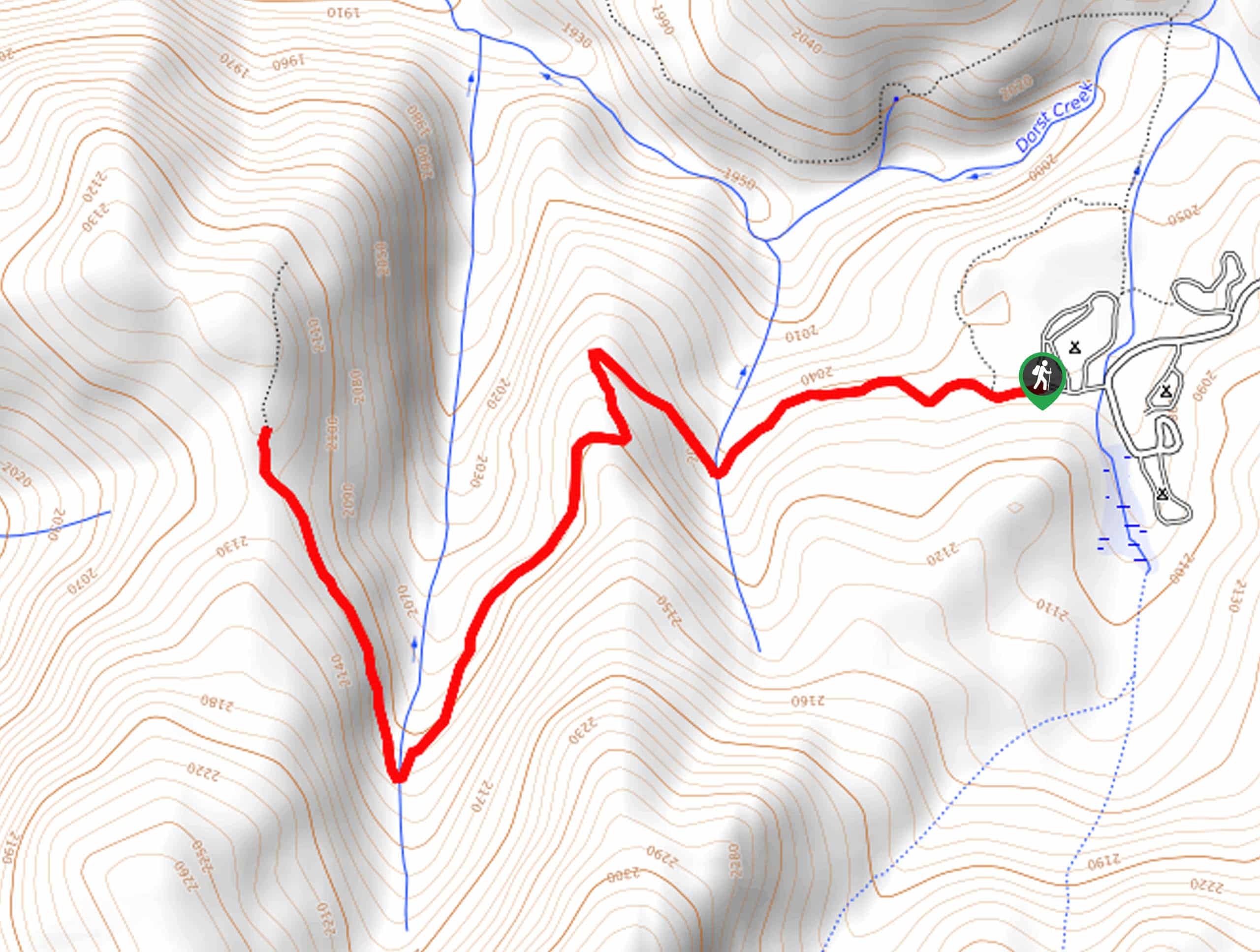
The Muir Grove departs from the trailhead in the Dorst Creek Campground off Generals Highway.

About
| Backcountry Campground | No |
| When to do | March-November |
| Pets allowed | No |
| Family friendly | Yes |
| Route Signage | Average |
| Crowd Levels | High |
| Route Type | Out and back |
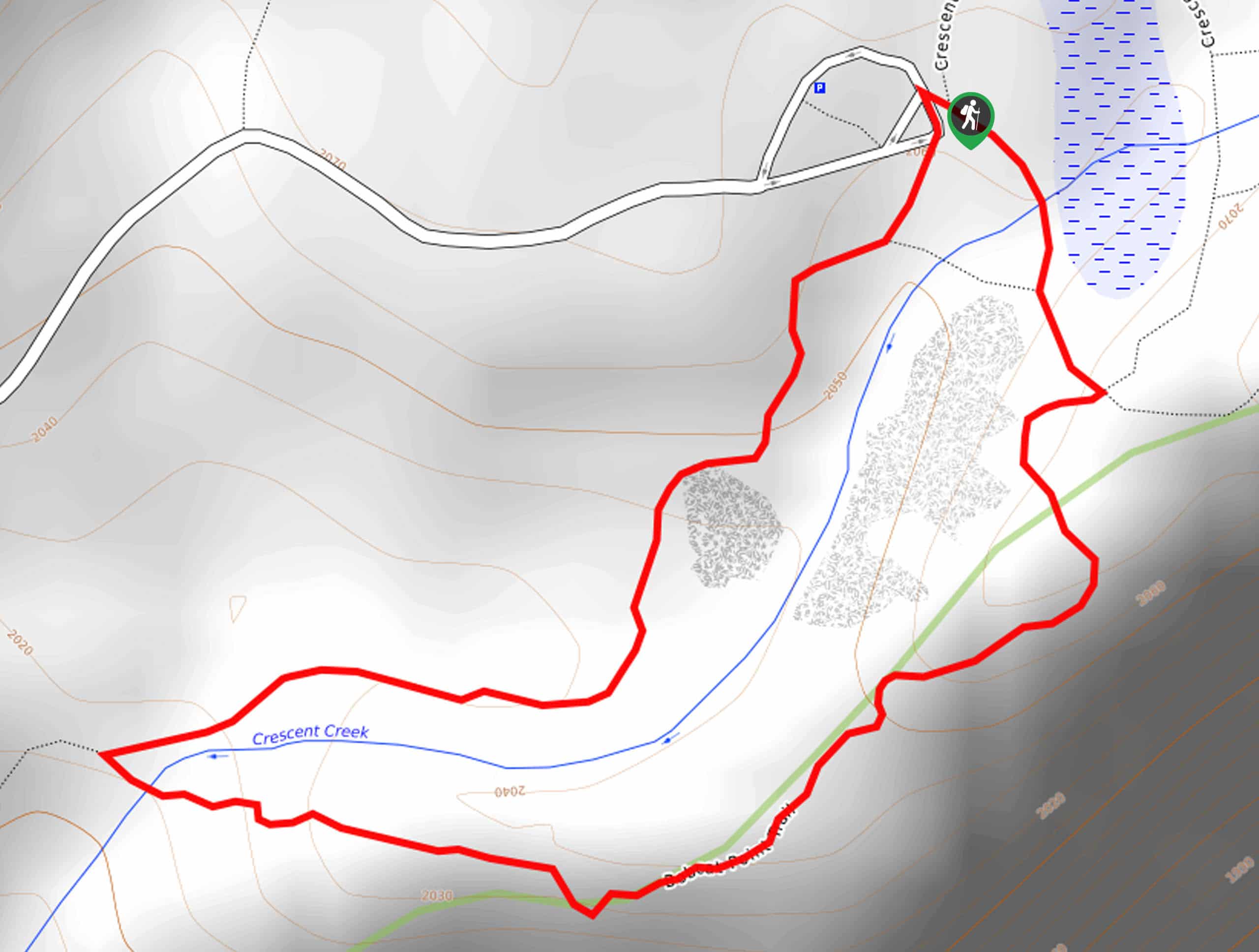
Muir Grove Trail
Elevation Graph
Weather
Muir Grove Trail Description
The Muir Grove Trail is a wonderful hike beckoning the exploration of hikers of all ages. This easy-going adventure progresses through the lush sequoia grove, intersecting with meandering streams—offering the opportunity to spot wildlife. Be wary of bears in the area and keep a safe distance! Additionally, after rainfall, the streams are high, and the terrain is muddy, so mind your footing.
When the campground is closed, you will have to tack on some extra distance—but the trail remains open. Note entrance to the park costs $35USD per vehicle or $20USD per person for pedestrians or cyclists.
Embark on your journey along the Muir Grove Trail from the trailhead in the Dorst Creek Campground. Setting out from here, the path travels west, intersecting with the first seasonal stream. As you progress, the density of the sequoias will intensify. Beyond the first creek, the path will gradually ascend into the wilderness, crossing another brook to an overlook of the forested landscape. Continue along the path, admiring the grandeur of the trees and the charm of the vibrant wildflowers that carpet the forest floor.
After hopping over a third creek and wandering through the Muir Grove, you will ultimately reach the trail’s end. Have a picnic amongst the looming sequoias, then head back the way you came to the trailhead.
Similar hikes to the Muir Grove Trail hike

Eagle and Bobcat Loop Hike
The Eagle and Bobcat Loop Hike is an amazing adventure that the whole family can enjoy. Wander through luxuriant meadows…
Bobcat Point Loop Hike
Seeking incredible vistas of the Sierra Nevada Mountain Range? The Bobcat Point Loop Hike is an incredible adventure in the…

Huckleberry and Alta Loop Hike
The Huckleberry and Alta Loop Hike is a beautiful adventure that offers a wealth of incredible scenery for hikers to…
Comments