

Huckleberry and Alta Loop Hike
View Photos
Huckleberry and Alta Loop Hike
Difficulty Rating:
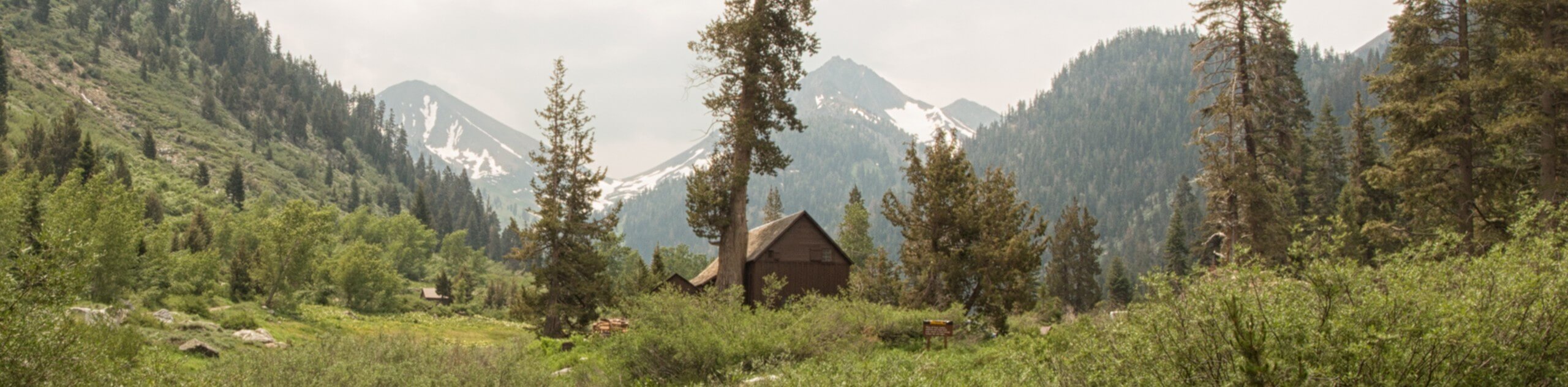
The Huckleberry and Alta Loop Hike is a beautiful adventure that offers a wealth of incredible scenery for hikers to indulge in. Wander through flowering meadows, lush forests, and dense communities of giant sequoias.
Getting there
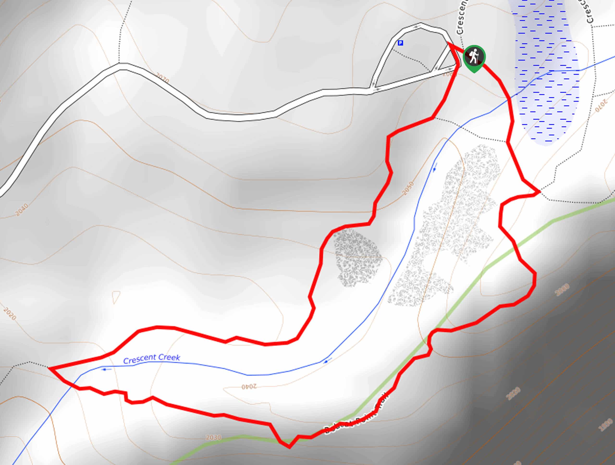
The Huckleberry and Alta Loop departs from the Giant Forest Museum off Generals Highway.

About
| Backcountry Campground | No |
| When to do | Year-round |
| Pets allowed | No |
| Family friendly | Yes |
| Route Signage | Average |
| Crowd Levels | Moderate |
| Route Type | Out and back |
Huckleberry and Alta Loop Hike
Elevation Graph
Weather
Huckleberry and Alta Loop Hike Description
Get outside into the fresh air and explore the Giant Forest Grove along the Huckleberry and Alta Loop Hike. Easy-going and incredibly scenic, this family-friendly route is a crowd favorite. If you are seeking a more tranquil experience, then we encourage you to head out in the early morning or late evening. Accessible in the off-season alike, you may need a pair of snowshoes in the winter months. Note entrance to the park costs $35USD per vehicle or $20USD per person for pedestrians or cyclists.
Setting out from the Giant Forest Museum, the Huckleberry and Alta Loop follows the Alta Trail southeast. Soon after your departure from the trailhead, you will cross over a seasonal creek before confronting an intersection with the Huckleberry Trail. Here, keep right onto the Huckleberry Trail, climbing up into the dense communities of sequoias in the Giant Forest Grove. After passing Huckleberry Meadow, turn left onto the Washington Tree Trail past Circle Meadow and back onto the Alta Trail.
Follow the Alta Trail through the woodlands and back down the ridge. Wandering through the mixed woodlands, you will ultimately reconnect with the initial segment of Alta Trail. From here, simply retrace your footing along the path back to the trailhead.
Similar hikes to the Huckleberry and Alta Loop Hike hike

Eagle and Bobcat Loop Hike
The Eagle and Bobcat Loop Hike is an amazing adventure that the whole family can enjoy. Wander through luxuriant meadows…
Bobcat Point Loop Hike
Seeking incredible vistas of the Sierra Nevada Mountain Range? The Bobcat Point Loop Hike is an incredible adventure in the…
Cold Springs Nature Trail
The Cold Springs Nature Trail is a lovely adventure that meanders along the charming Kaweah River. Wander amid lush vegetation…
Comments