Volunteer Park Loop
View Photos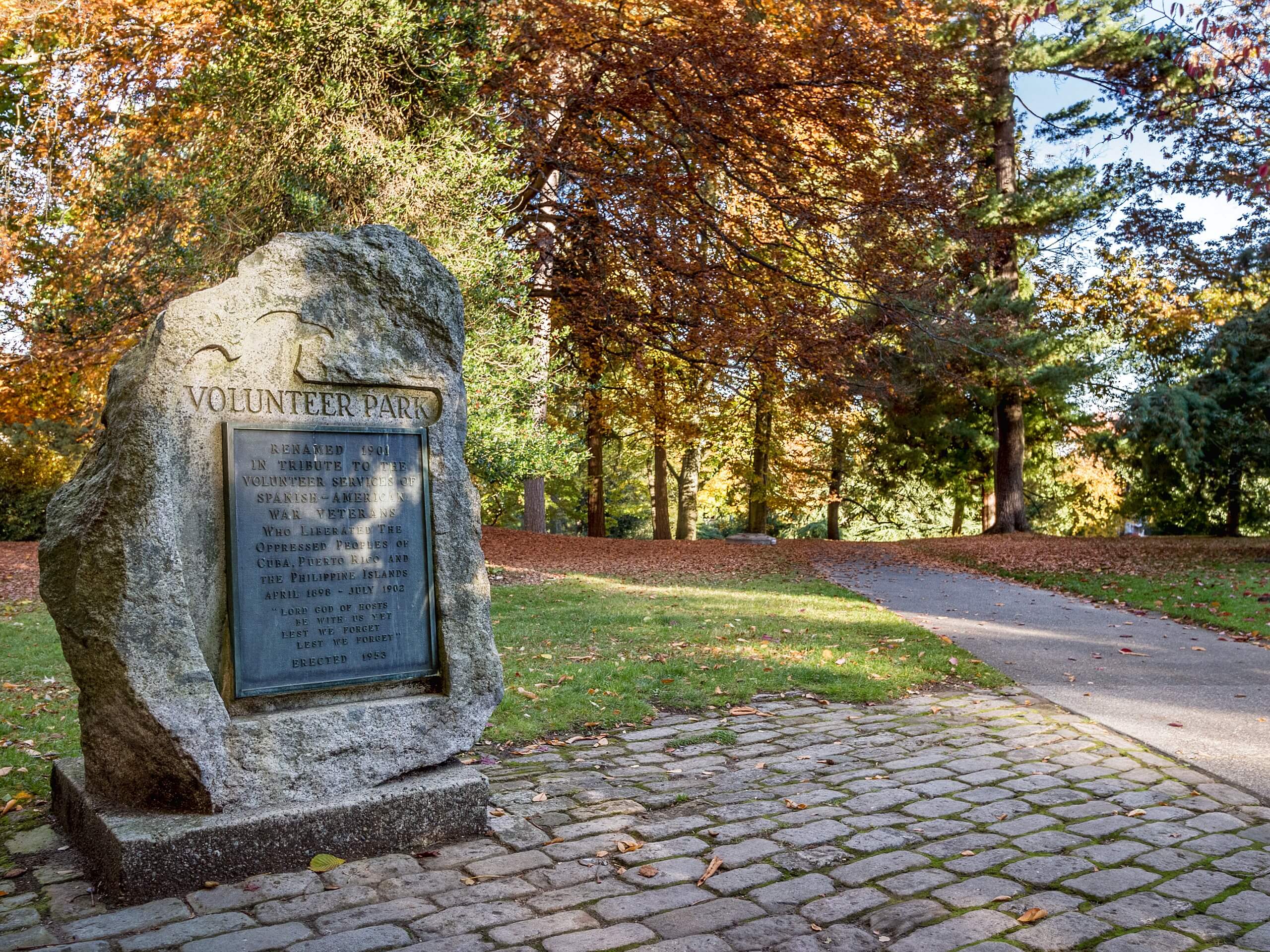
Volunteer Park Loop
Difficulty Rating:
The volunteer Park Loop is a 1.1mi walk through a very well-maintained park with beautiful flower gardens and a skyline view of Seattle. This park also has the Seattle Asian Art Museum and an amphitheater. The walk mostly hugs the perimeter of the park, giving you the chance to appreciate every corner and unwind in its beautiful scenery.
Getting there
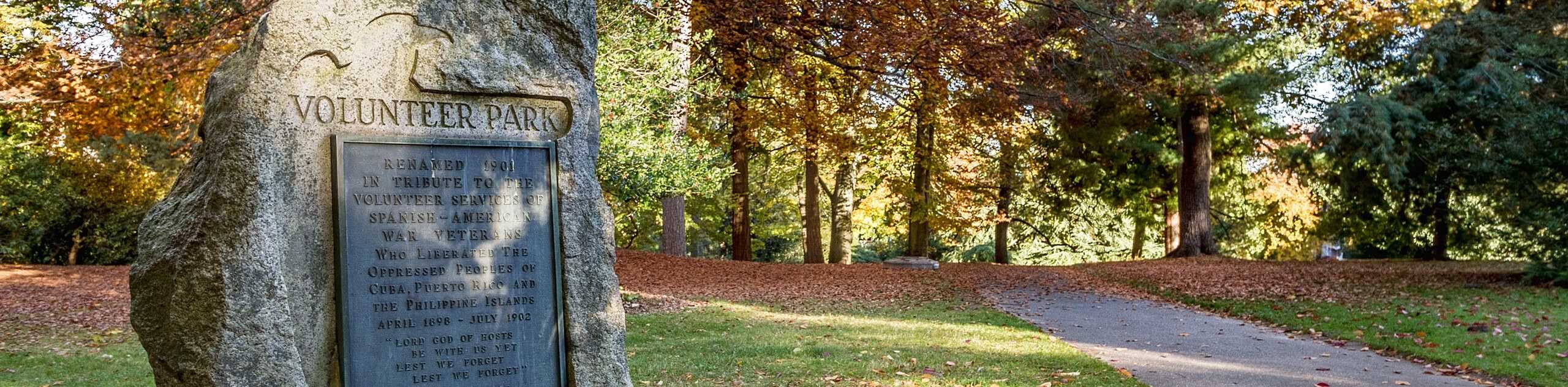
The trailhead for the Volunteer Park Loop is in the middle of the park outside of the art museum.

About
| Backcountry Campground | No |
| When to do | Year-round |
| Pets allowed | Yes - On Leash |
| Family friendly | Yes |
| Route Signage | Average |
| Crowd Levels | Moderate |
| Route Type | Loop |
Volunteer Park Loop
Elevation Graph
Weather
Volunteer Park Loop Description
Volunteer Park is a lovely urban park north of Seattle with colorful flower gardens, an art museum, a playground, and a great view of the Space Needle and downtown Seattle. It’s a local favorite for a break from the urban scenery, so add it to your list for a quick, easy walk.
Begin outside of the art museum, taking a right to cross the road and walk between the small pond and larger reservoir. You’ll walk south of the reservoir and then take the trail on the perimeter of the park. Where the trail splits, go right and then take two immediate rights onto the boardwalk heading north. You’ll walk past the conservatory and playground before hugging the eastern edge of the park. When you reach the four-way split, take a sharp right to return to where you started.
Similar hikes to the Volunteer Park Loop hike

Sky Country to Harvey Manning Loop
The Sky Country to Harvey Manning Loop is a 4.2mi loop trail in the northern part of Cougar…

Iverson Spit Preserve Loop
The Iverson Spit Preserve Loop is a 1.2mi loop hike right on the beach, coursing through a beaver…

Lowell Riverfront Trail
The Lowell Riverfront Trail is a 3.0mi route alongside the Snohomish River in Everett. This trail is heavily…
Comments