Seahurst Park Loop Trail
View Photos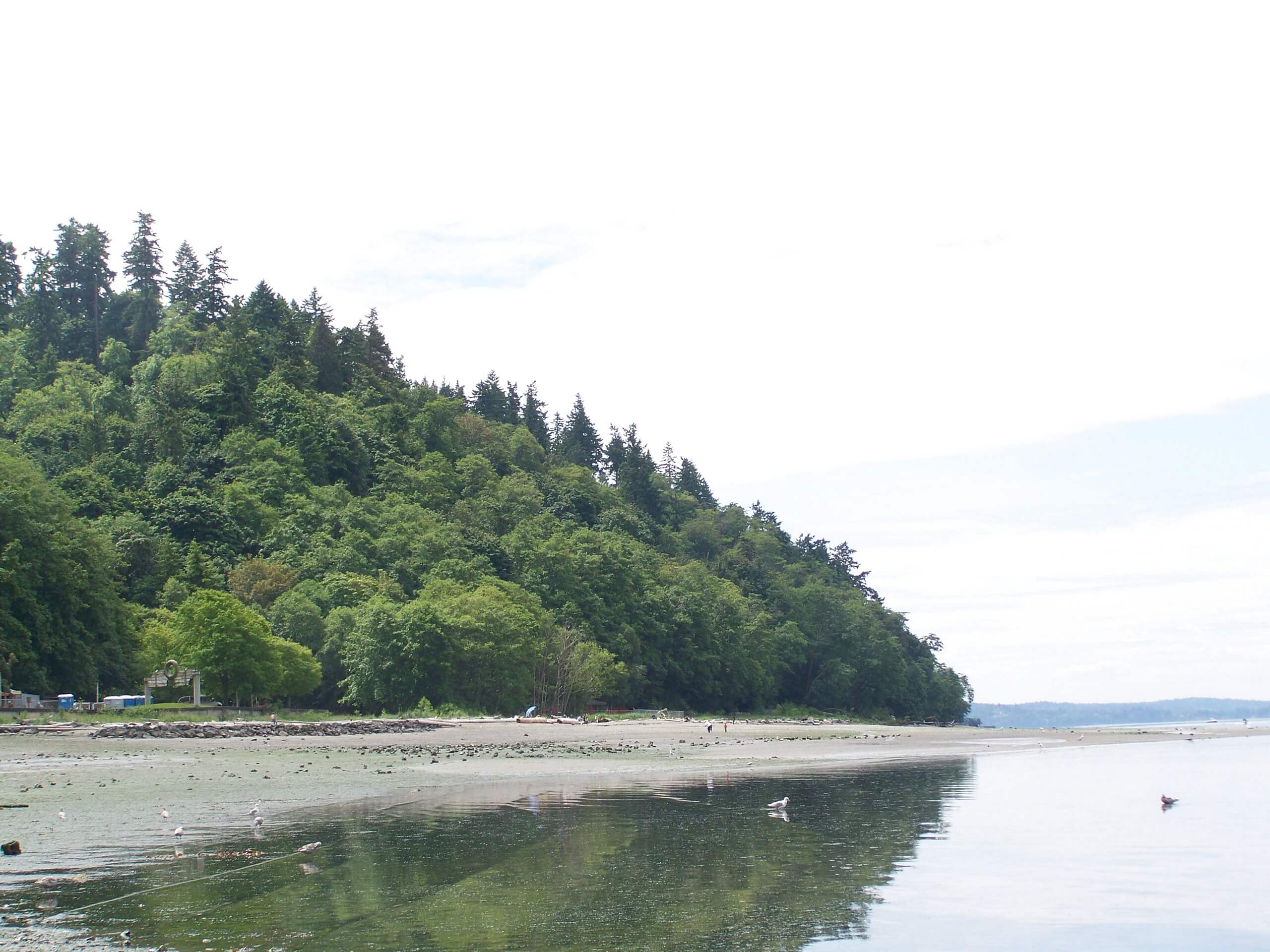
Seahurst Park Loop Trail
Difficulty Rating:
The Seahurst Park Loop Trail is a gorgeous easy hike south of Seattle that is suitable for all skill levels. This trail is less than 1.9mi long but the other trails in the park allow you to lengthen or shorten your trip according to your wants. This loop begins and ends along the coast and travels into an incredibly green forest with converging creeks.
This trail is accessible year-round and sees moderate traffic. Dogs are allowed on the trail but must be kept on a leash. As the network of trails in the park could be confusing to some, we recommend downloading your route ahead of time.
Getting there
The trailhead for the Seahurst Park Loop Trail is at the end of SW Seahurst Park Road.

About
| Backcountry Campground | No |
| When to do | Year-round |
| Pets allowed | Yes - On Leash |
| Family friendly | Yes |
| Route Signage | Average |
| Crowd Levels | Moderate |
| Route Type | Loop |
Seahurst Park Loop Trail
Elevation Graph
Weather
Seahurst Park Loop Trail Description
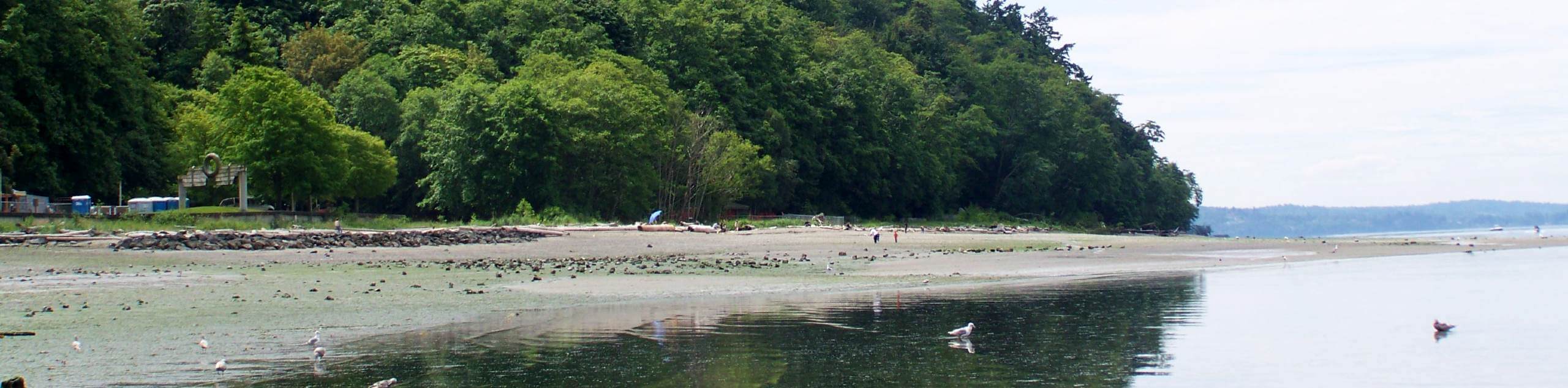
The Seahurst Park Loop Trail is a delightful short hike near Burien. This loop begins and ends at a very pretty, well-kept beach, following forest paths around a deep ravine before returning. It’s difficult to have a bad day in this fantastic setting!
The trail is easy with modest elevation gain, but it can be made even easier by taking a shorter loop through the forest. It can also be made longer by exploring some of the interconnecting trails in the park, which allow you to customize your hike.
After your walk, settle in at the beach for a while if it’s a sunny day.
Begin from the loop at the end of the access road. You’ll walk to the beach, passing by the playground and the restroom facilities. Keep going past the picnic shelter and then enjoy a long, uninterrupted walk beside the shore, looking out over the dark blue waters of Puget Sound.
You’ll pass where the trail splits, with one arm heading into the woods. While the loop can be done either way, we’ll describe it clockwise.
Stay on the beachside trail, passing picnic benches and the Environmental Science Center. You’ll walk past the Marine Technology Occupational Skills Center and then turn right to take a trail heading away from the water.
Stay left as the trail switchbacks up a moderate slope. At a Y-junction, stay right, then stay left at the next. The trail evens out here before crossing two creeks. The forest is very vibrant and lush.
Skirt underneath a community and then head south across another stream. At the next junction, keep right, then cross another stream. Stay right again, then at the 4-way junction, take the trail on your far left.
The trail will lead you back to the beach, where you’ll stroll back to the beginning. Either set up for a little while longer here or head out to your next adventure.
Trail Highlights
Seahurst Park
Seahurst Park is a 178-acre park that features forest and beach. The park is on Puget Sound near Burien. Seahurst used to be the property of King County, but it was given to newly incorporated Burien in 1996. It boasts 2000ft of beach, a wide variety of wildlife, playgrounds, picnic areas, and newly upgraded facilities and trails.
Frequently Asked Questions
Do dogs have to be on a leash at Seahurst Park?
Yes, dogs must be kept on a leash no longer than 15ft at all times in the park.
Can you swim at Seahurst Park?
Yes, you can swim at the park. Be prepared for chilly water!
What time does Seahurst open?
The park is open from 8 am until sunset each day.
Insider Hints
You can make this into a shorter loop by taking the trail that cuts across the middle of the route.
There are several trails that extend south of this trailhead if you wish to keep walking.
Similar hikes to the Seahurst Park Loop Trail hike

Explorer Falls Hike
The Explorer Falls hike is a 5.3mi moderate hike near Sultan, Washington. This trail takes you to a…

Sky Country to Harvey Manning Loop
The Sky Country to Harvey Manning Loop is a 4.2mi loop trail in the northern part of Cougar…

Iverson Spit Preserve Loop
The Iverson Spit Preserve Loop is a 1.2mi loop hike right on the beach, coursing through a beaver…
Comments