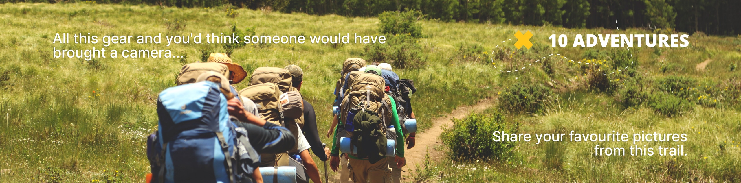
Cedar River Trail
View Photos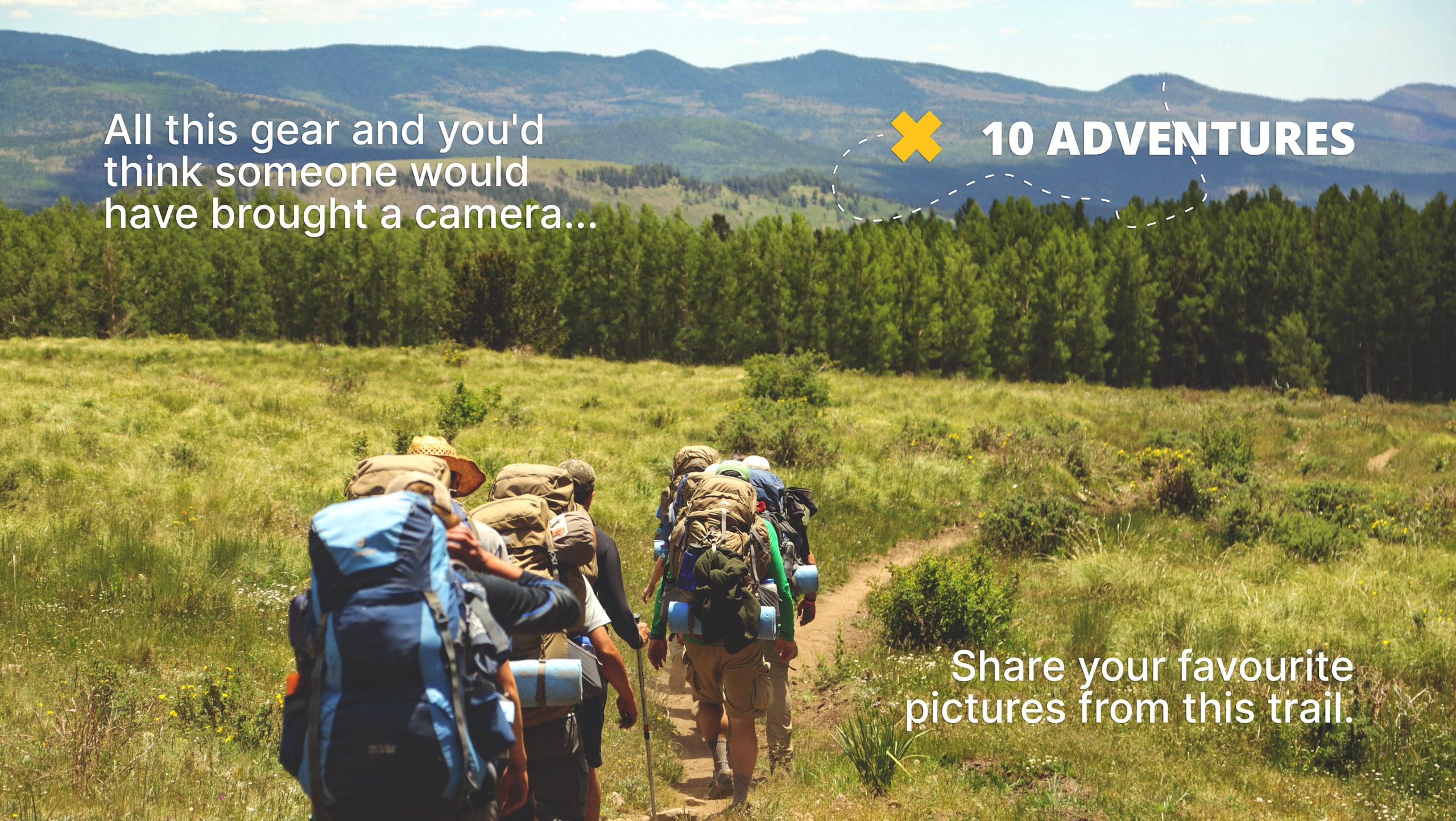
Cedar River Trail
Difficulty Rating:
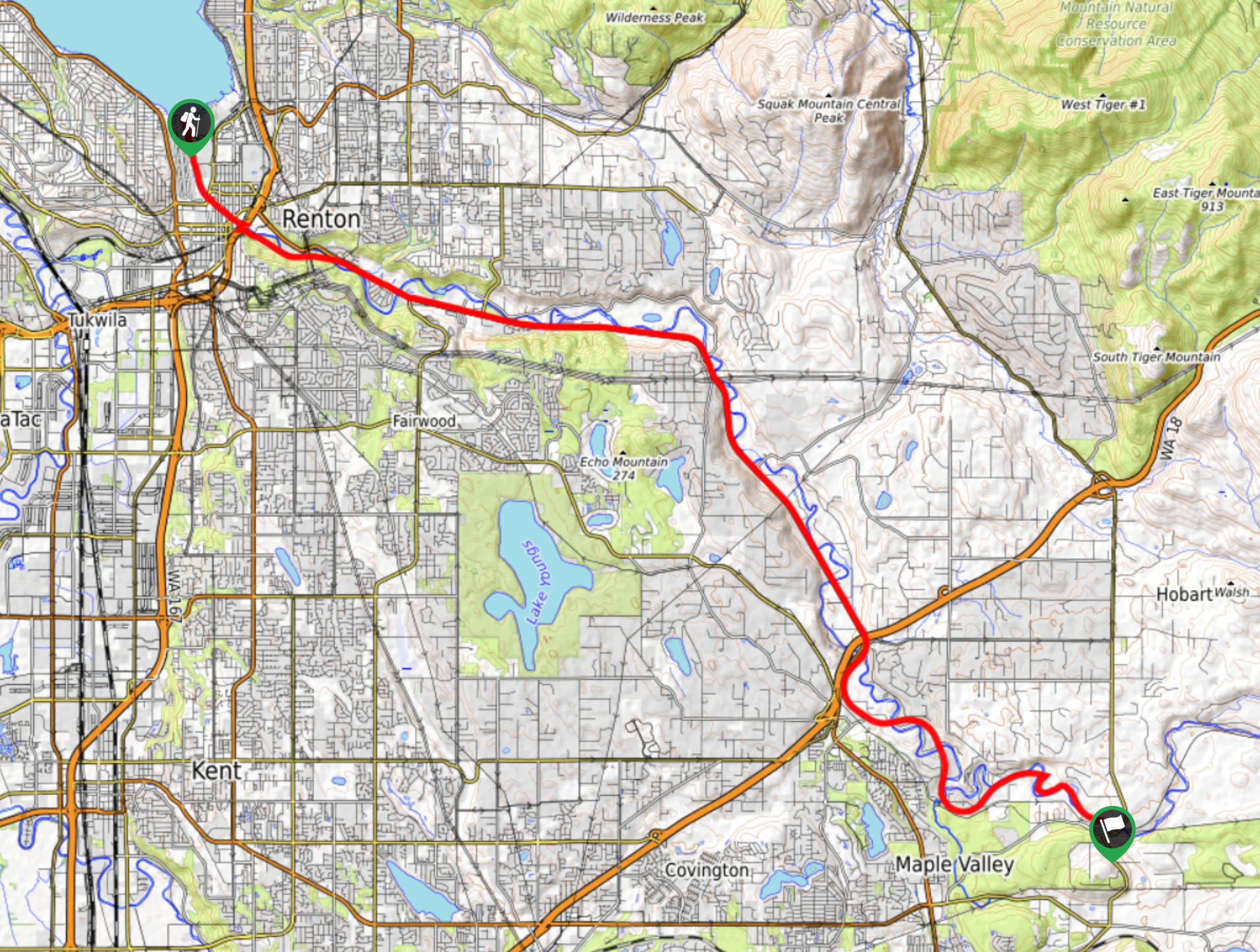
The Cedar River Trail is a 18.0mi point-to-point pathway that stretches between Renton and Landsburg. This path is used for walking, biking, and running. You can either bike the whole path or walk/run a portion of it, both offering a wonderful chance to enjoy the fresh air and the riverside. This trail is mostly flat, making it a suitable choice for all skill levels. It doesn’t see too much traffic and it’s very easy to follow.
This trail is paved, making it suitable for strollers and wheelchairs.
Getting there
There are many points of access for the Cedar River Trail. One trailhead is in Landsburg near where Landburg Rd SE crosses the river and the other is in Renton near the Renton Rowing Center.

About
| Backcountry Campground | No |
| When to do | June-September |
| Pets allowed | Yes - On Leash |
| Family friendly | Yes |
| Route Signage | Average |
| Crowd Levels | Moderate |
| Route Type | One Way |
Cedar River Trail
Elevation Graph
Weather
Cedar River Trail Description
Cedar River Trail is a multi-use pathway that connects Renton and Landsburg. The trail closely follows the Cedar River from Lake Washington to Landsburg, offering pretty views at multiple points along the route. The trail is frequently used by walkers, runners, and bikers. You can pick it up at many points along the way and just take it as far as you prefer to go.
While you can pick your own adventure on the trail, we’ll describe it from the Renton trailhead. Bikes aren’t permitted on the first 0.6mi of the trail from Renton, but you can take Nishiwaki Lane and then hop on the trail later.
There is parking near the lake, but note that most of the spots here have a 4-hour limit. If you plan to stay longer you may need to park further away.
Walking alongside the river, you’ll notice that it’s not always very obvious which side to cross each bridge on. We recommend staying on the north side of the river for about the first mile and a half.
Crossing the road safely can be challenging near Bronson Way N. We recommend going left at Houser Way for 150ft. Use the crosswalk to cross, then head underneath I-405 on the underpass. Cross the river on the bridge and then continue east.
At 3.0mi, you’ll meet the south side of the Maple Valley Highway. There’s a bit of road noise here. Cross under the road after another 0.9mi. You’ll stick close to the highway for the next few miles. Watch for Natural Areas along the river as you go.
You’ll reach the end of the paved path at 12.7mi. There is a junction with the green to Cedar River Trail here. Keep going along packed gravel.
It’s about 4.7mi from here to Landsburg, where the trail officially ends.
Trail Highlights
Cedar River
The 45.0mi long Cedar River flows from the Cascades to Lake Washington. The Cedar River Watershed provides drinking water for Seattle and the surrounding area. Care for the river was taken on by the Friends of the Cedar River Watershed in 1996. This group organized community involvement and spearheaded plans to protect the river’s salmon, restore riverside habitats, and promote environmental stewardship. The first and second-growth forest along the river is home to a variety of species and the waters themselves contain three kinds of salmon and one species of trout.
Frequently Asked Questions
Can you swim in the Cedar River?
While it’s not illegal to swim in the river, it’s generally not recommended by the City of Renton.
What kind of fish are in the Cedar River?
Chinook salmon, Sockeye salmon, Coho salmon, Steelhead trout, and more inhabit the river.
When can I fish in the Cedar River?
The Cedar River is generally open for fishing in June, July, and August. Normally, fishing is limited to certain species of fish.
Insider Hints
You can take transit to this trail by utilizing King County Metro number 143 or DART 907.
There are no restrooms at the Landsburg trailhead.
Similar hikes to the Cedar River Trail hike

Sky Country to Harvey Manning Loop
The Sky Country to Harvey Manning Loop is a 4.2mi loop trail in the northern part of Cougar…

Iverson Spit Preserve Loop
The Iverson Spit Preserve Loop is a 1.2mi loop hike right on the beach, coursing through a beaver…

Lowell Riverfront Trail
The Lowell Riverfront Trail is a 3.0mi route alongside the Snohomish River in Everett. This trail is heavily…
Comments