Sammamish River Trail
View Photos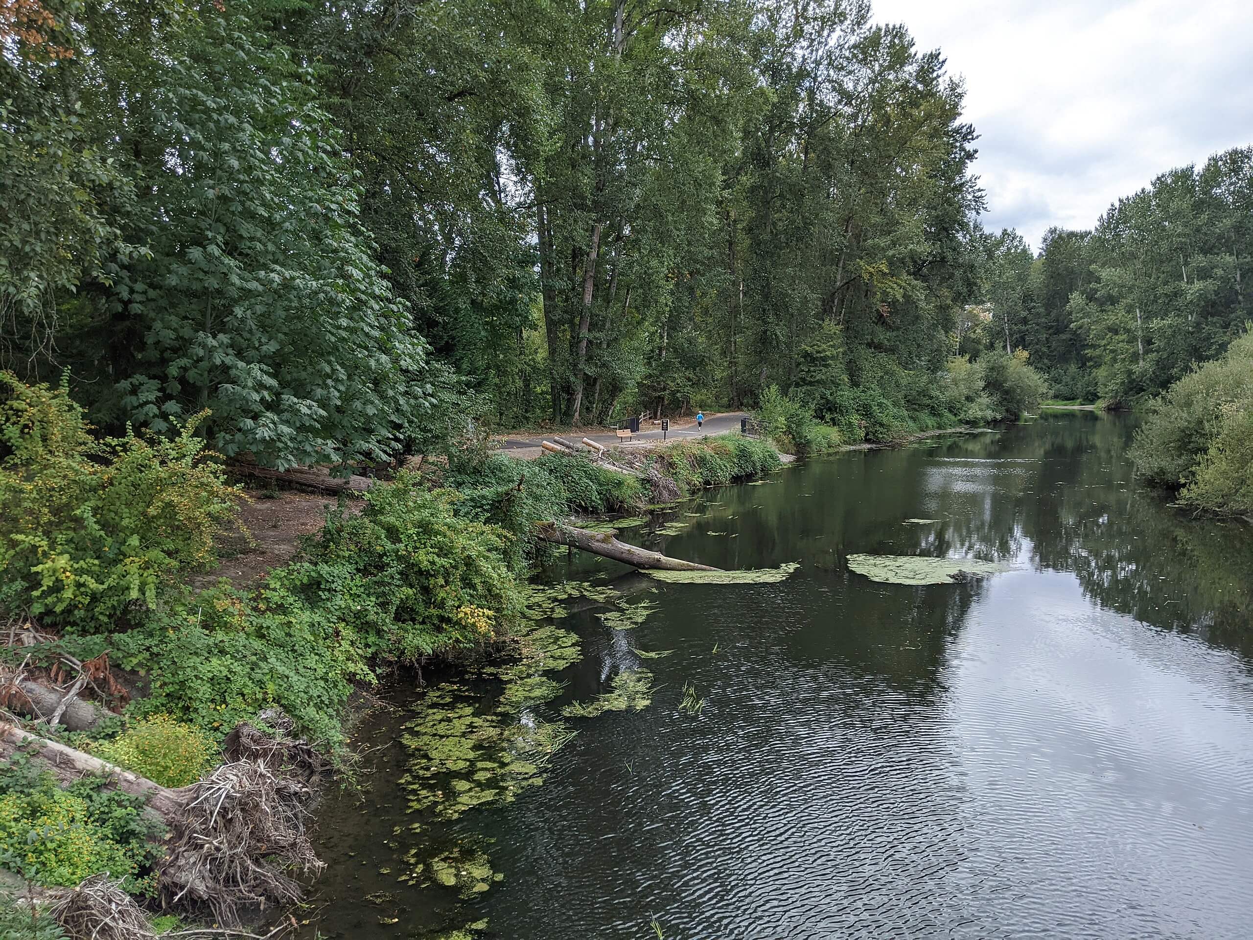
Sammamish River Trail
Difficulty Rating:
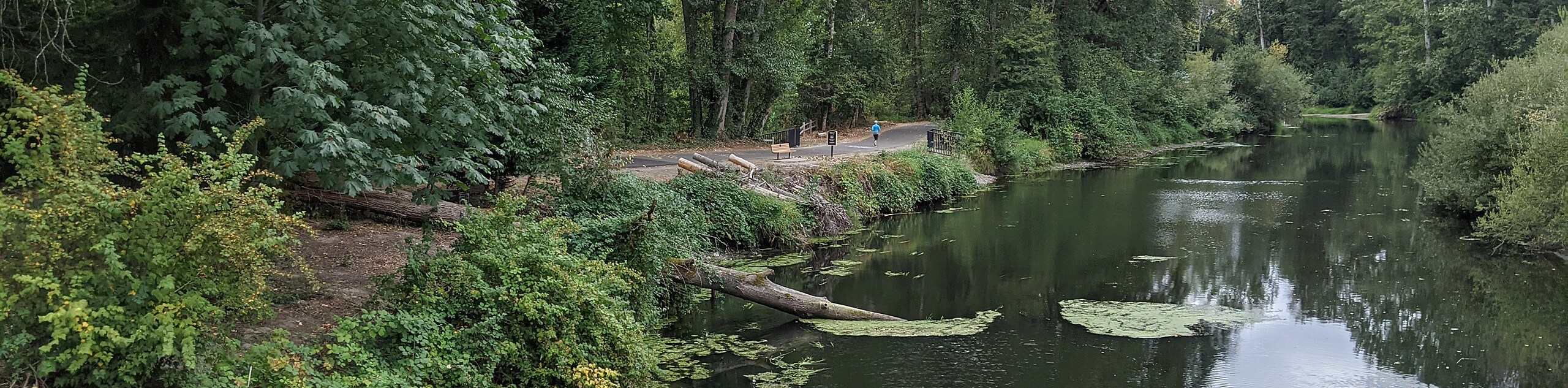
The Sammamish River Trail is a 9.5mi point-to-point trail that runs from Remond to Bothell. This trail is popular with cyclists and walkers and can be enjoyed in part as far as you like to tailor your adventure. It is mostly flat and entirely paved. Watch out for passing cyclists and runners, especially on the weekends when the trail gets quite busy.
Getting there
The trailhead for the Sammamish River Trail is in Redmond near Dudley Carter Park, but you can also start in Bothell off 96th Ave NE or anywhere in between

About
| Backcountry Campground | No |
| When to do | Year-round |
| Pets allowed | Yes - On Leash |
| Family friendly | Yes |
| Route Signage | Average |
| Crowd Levels | High |
| Route Type | One Way |
Sammamish River Trail
Elevation Graph
Weather
Sammamish River Trail Description
The Sammamish River Trail runs for 9.5mi and is very popular with local cyclists and walkers. This popular route is flat and paved, making it suitable for all skill levels. Watch for the occasional patch of path in need of repair.
The trail starts neat Dudley Carter Park in Redmond and ends in Bothell off 96th Ave NE. You can hop on this trail at any point and go as far as you like. The trail follows the river, and it’s scenic, flat, and quite wide the whole way. There are also toilets and trash cans along the route. If you like a break on the way, stop in Woodinville, where you can also refill your water. Watch for passing cyclists and runners and remember to keep dogs on a leash.
Similar hikes to the Sammamish River Trail hike

Sky Country to Harvey Manning Loop
The Sky Country to Harvey Manning Loop is a 4.2mi loop trail in the northern part of Cougar…

Iverson Spit Preserve Loop
The Iverson Spit Preserve Loop is a 1.2mi loop hike right on the beach, coursing through a beaver…

Lowell Riverfront Trail
The Lowell Riverfront Trail is a 3.0mi route alongside the Snohomish River in Everett. This trail is heavily…
Comments