Klondike Swamp Trail
View Photos
Klondike Swamp Trail
Difficulty Rating:
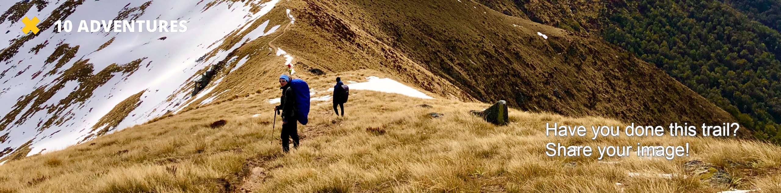
There are so many ways to explore Cougar Mountain, and the Klondike Swamp Trail is a great pick for newer hikers. At 2.8mi long and with 318ft of elevation gain, it’s an easy enough hike for beginners. The trails around Cougar Mountain can get busy, so try visiting during the week or early in the morning. Additionally, we prefer to hike this area in spring so the numerous waterfalls and creeks are at their best.
Getting there
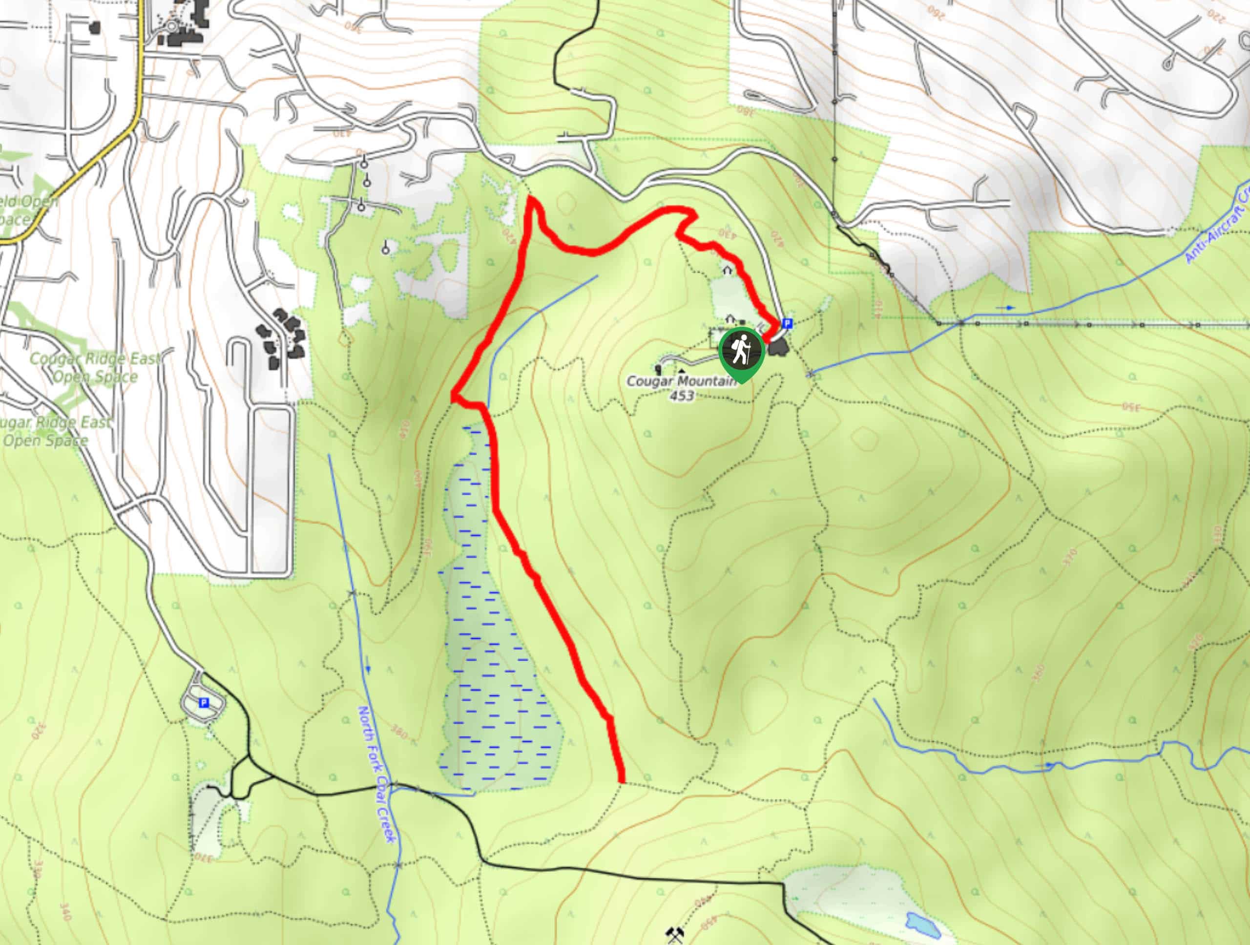
The trailhead for the Klondike Swamp Trail is near the parking area off SE Cougar Mountain Drive.

About
| Backcountry Campground | No |
| When to do | Year-round |
| Pets allowed | Yes - On Leash |
| Family friendly | Yes |
| Route Signage | Average |
| Crowd Levels | Moderate |
| Route Type | Out and back |
Klondike Swamp Trail
Elevation Graph
Weather
Klondike Swamp Trail Description
The Klondike Swamp Trail is a perfect one for beginners and a nice way to get under the trees. There are plenty of interconnecting trails in the area if you want to extend your adventure. We recommend downloading a map or GPS track ahead of time as the trails in the area can be confusing if you’re unfamiliar with the area.
Begin from the parking area, taking the trail that initially runs parallel to SE Cougar Mountain Drive. Hiking on Shangri-La Trail, stay left through two junctions onto Coyote Creek Trail. Go left at the Y and then right onto Klondike Swamp Trail. This path ends at the Y-junction up ahead, so you can either turn around and retrace your steps back to the trailhead or keep exploring if you’d like to.
Similar hikes to the Klondike Swamp Trail hike

Explorer Falls Hike
The Explorer Falls hike is a 5.3mi moderate hike near Sultan, Washington. This trail takes you to a…

Sky Country to Harvey Manning Loop
The Sky Country to Harvey Manning Loop is a 4.2mi loop trail in the northern part of Cougar…

Iverson Spit Preserve Loop
The Iverson Spit Preserve Loop is a 1.2mi loop hike right on the beach, coursing through a beaver…
Comments