Kirkland Waterfront Trail
View Photos
Kirkland Waterfront Trail
Difficulty Rating:
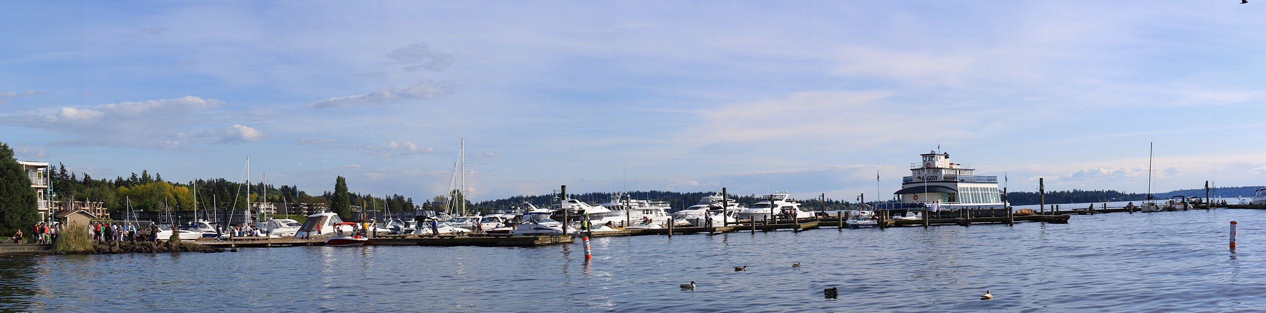
The Kirkland Waterfront Trail is a 1.2mi out and back walk that takes you along the waterfront of downtown Kirkland. This walk mostly follows sidewalks and is quite pleasant. You can extend your walk further if you like. Dogs are allowed on this walk but must be kept on a leash. You’ll pass three parks on this walk, so feel free to stop into any of them for a break.
Getting there
The trailhead for the Kirkland Waterfront Trail is in the parking area off Kirkland Ave near The Mariner.

About
| Backcountry Campground | No |
| When to do | Year-round |
| Pets allowed | Yes - On Leash |
| Family friendly | Yes |
| Route Signage | Average |
| Crowd Levels | Low |
| Route Type | Out and back |
Kirkland Waterfront Trail
Elevation Graph
Weather
Kirkland Waterfront Trail Description
Looking for a scenic and simple walk in Kirkland? The Kirkland Waterfront Trail is a short and sweet walk along the waterfront in downtown, offering great views and easy access to the businesses that line the route. This trail mostly follows the sidewalk and is suitable for all ages.
Begin from the parking area in front of The Mariner, heading south to Lake Street S. Follow the street past Street End Park and David E. Brink Park, turning around at Settler’s Landing. If you want to keep going, you can walk down to Houghton, where there is a beach park with a bar and grill.
When you’re ready, retrace your steps.
Similar hikes to the Kirkland Waterfront Trail hike

Sky Country to Harvey Manning Loop
The Sky Country to Harvey Manning Loop is a 4.2mi loop trail in the northern part of Cougar…

Iverson Spit Preserve Loop
The Iverson Spit Preserve Loop is a 1.2mi loop hike right on the beach, coursing through a beaver…

Lowell Riverfront Trail
The Lowell Riverfront Trail is a 3.0mi route alongside the Snohomish River in Everett. This trail is heavily…
Comments