Camp Long Loop Trail
View Photos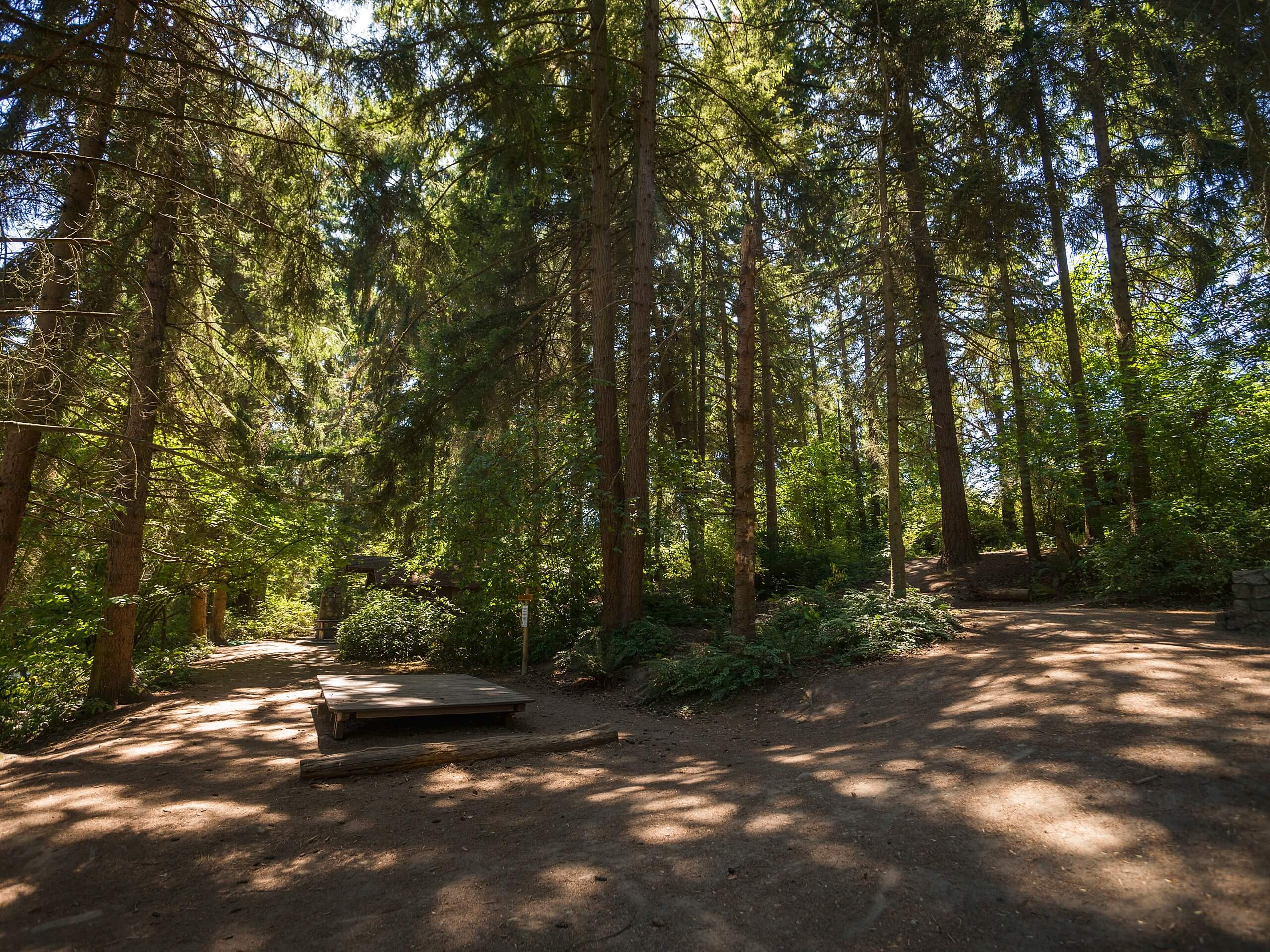
Camp Long Loop Trail
Difficulty Rating:
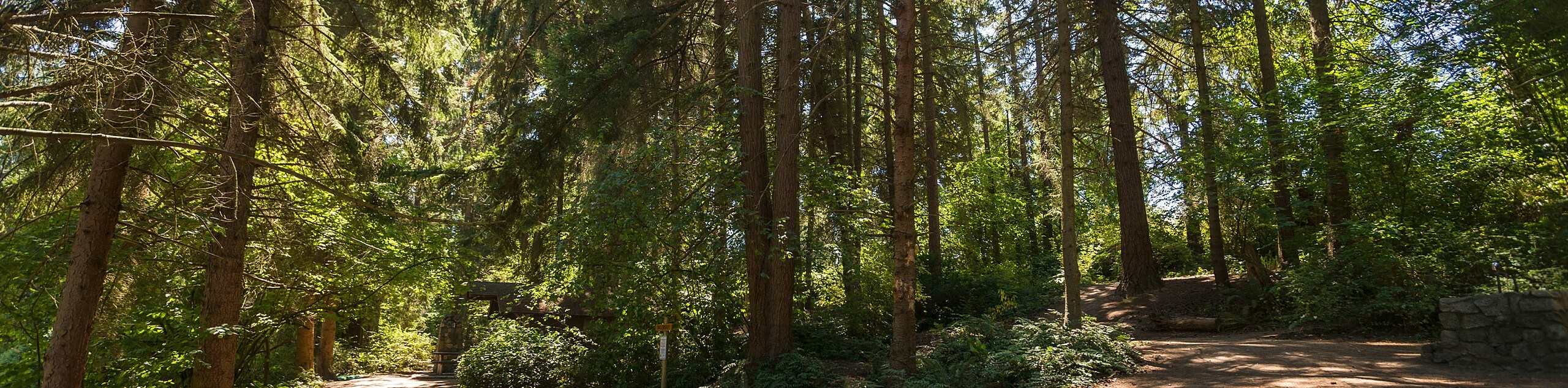
The Camp Long Loop is a 1.2mi trail through a wooded park in West Seattle. This trail is suitable for all skill levels and makes for a great short walk or trail run. Expect light or moderate traffic, perhaps having the trail to yourself in off-peak times. The 1.2mi loop can be extended slightly by taking advantage of short connecting trails. Dogs are allowed on this hike as long as they are on a leash.
Getting there
The trailhead for the Camp Long Loop is between SW Dawson Street and SW Brandon Street in the parking area.

About
| Backcountry Campground | No |
| When to do | Year-round |
| Pets allowed | Yes - On Leash |
| Family friendly | Yes |
| Route Signage | Average |
| Crowd Levels | Moderate |
| Route Type | Loop |
Camp Long Loop Trail
Elevation Graph
Weather
Camp Long Loop Trail Description
Camp Long is a beautiful wooded park next to the West Seattle Golf Course. The loop trail through this park is ideal for a short nature walk and is suitable for all ages. While the park is often very quiet, watch for runners passing by. There are interconnecting trails that can make staying on course a bit confusing, so we recommend downloading your GPS ahead of time.
Begin from the parking area. You can do this loop either way, but we’ll describe it counterclockwise to end off with a viewpoint extension. Hike to the southernmost trail, taking this as it weaves left and right along the bottom edge of the park. You’ll reach a Y junction where you’ll go left, walking up near the golf course. Continuing this direction gives access to the Rotary Viewpoint, an optional extension.
Turn around near the viewpoint trail to walk south back to the parking area, passing the ponds on your left.
Similar hikes to the Camp Long Loop Trail hike

Sky Country to Harvey Manning Loop
The Sky Country to Harvey Manning Loop is a 4.2mi loop trail in the northern part of Cougar…

Iverson Spit Preserve Loop
The Iverson Spit Preserve Loop is a 1.2mi loop hike right on the beach, coursing through a beaver…

Lowell Riverfront Trail
The Lowell Riverfront Trail is a 3.0mi route alongside the Snohomish River in Everett. This trail is heavily…
Comments