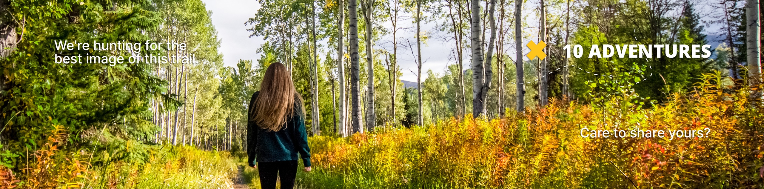
Kelsey Creek Farm Trail
View Photos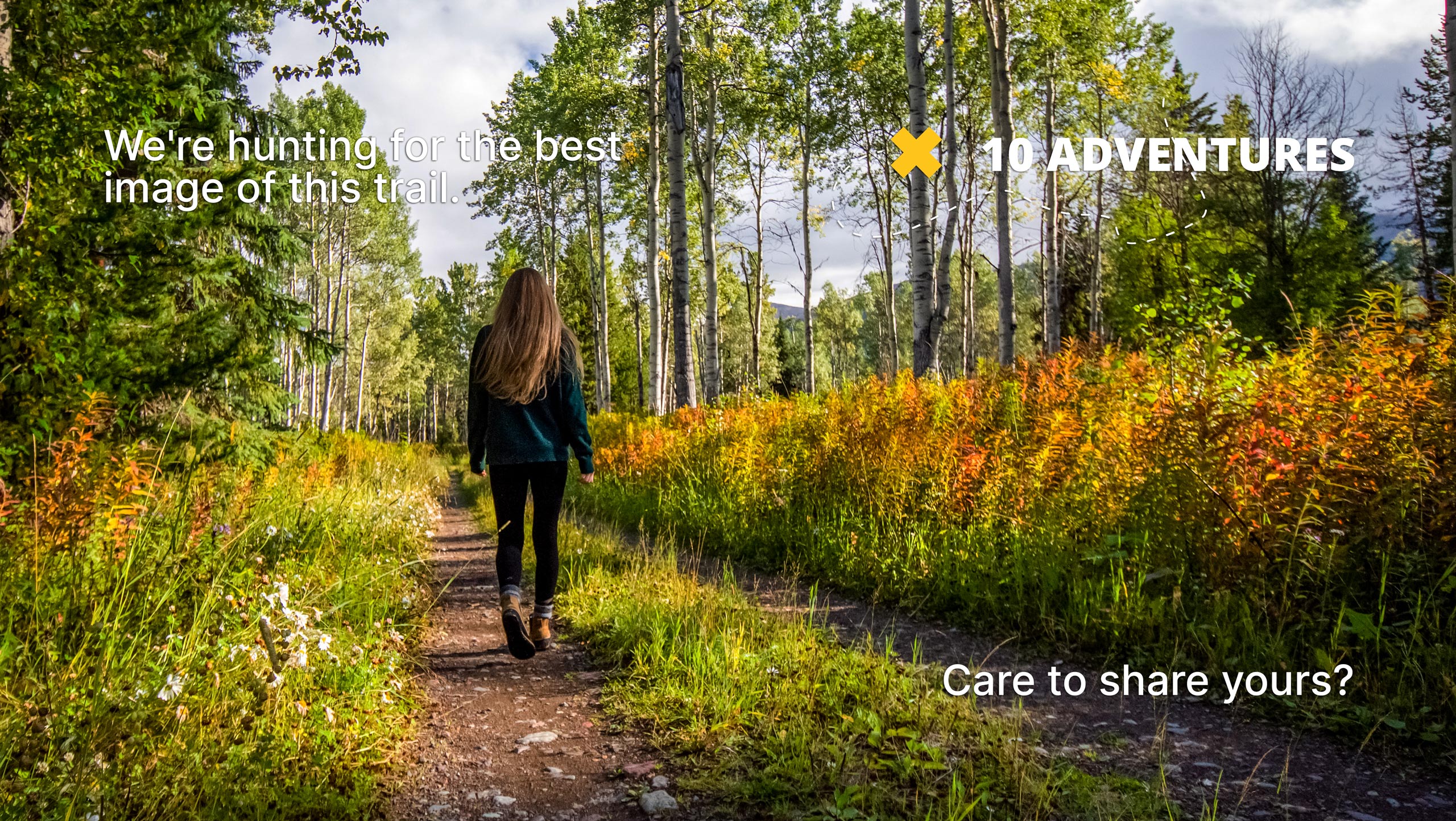
Kelsey Creek Farm Trail
Difficulty Rating:
The Kelsey Creek Farm Trail is a 1.6mi loop walk through the grounds of Kelsey Creek Farm. This walk is easy and suitable for kids and capable strollers. You can do this walk as a standalone outing or take some time before or after to check out the barnyard, smell the flowers, or stop at the play area. This is a perfect trail for active families.
Getting there
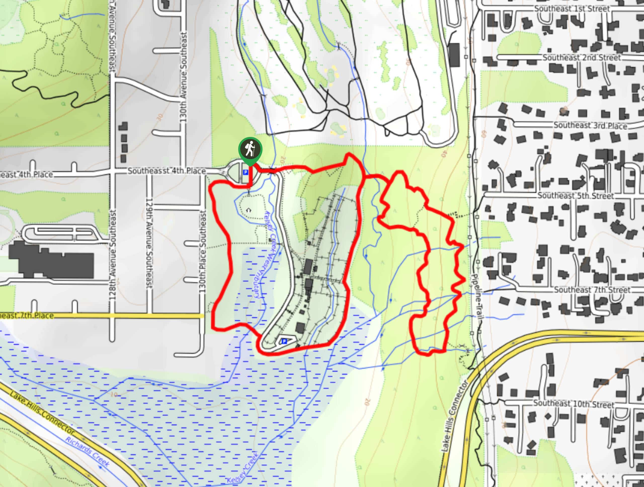
The trailhead for the Kelsey Creek Farm Trail is in the parking area at the northwest corner of the park.

About
| Backcountry Campground | No |
| When to do | Year-round |
| Pets allowed | Yes - On Leash |
| Family friendly | Yes |
| Route Signage | Average |
| Crowd Levels | Moderate |
| Route Type | Loop |
Kelsey Creek Farm Trail
Elevation Graph
Weather
Kelsey Creek Farm Trail Description
A day at Kelsey Creek Farm is a day well spent, and this short and scenic loop walk is a great way to get the lay of the land. Expect a mostly flat route with some gravelly sections. The walk is suitable for all ages, although you’ll want a capable stroller for this one.
The walk begins at the parking area. There are several junctions on the way, so download your GPS if you’re worried about getting off-track. You can loop the farm either way, and the experience is nearly the same clockwise and counterclockwise. Note where the trail crosses the creek- while leaving this loop off might be best for very young children needing a short trip, it’s a fun section with lots of creek crossings for those following the entire trail. The loop ends back at the parking lot, where you can either head off or continue exploring the farm.
Similar hikes to the Kelsey Creek Farm Trail hike

Sky Country to Harvey Manning Loop
The Sky Country to Harvey Manning Loop is a 4.2mi loop trail in the northern part of Cougar…

Iverson Spit Preserve Loop
The Iverson Spit Preserve Loop is a 1.2mi loop hike right on the beach, coursing through a beaver…

Lowell Riverfront Trail
The Lowell Riverfront Trail is a 3.0mi route alongside the Snohomish River in Everett. This trail is heavily…
Comments