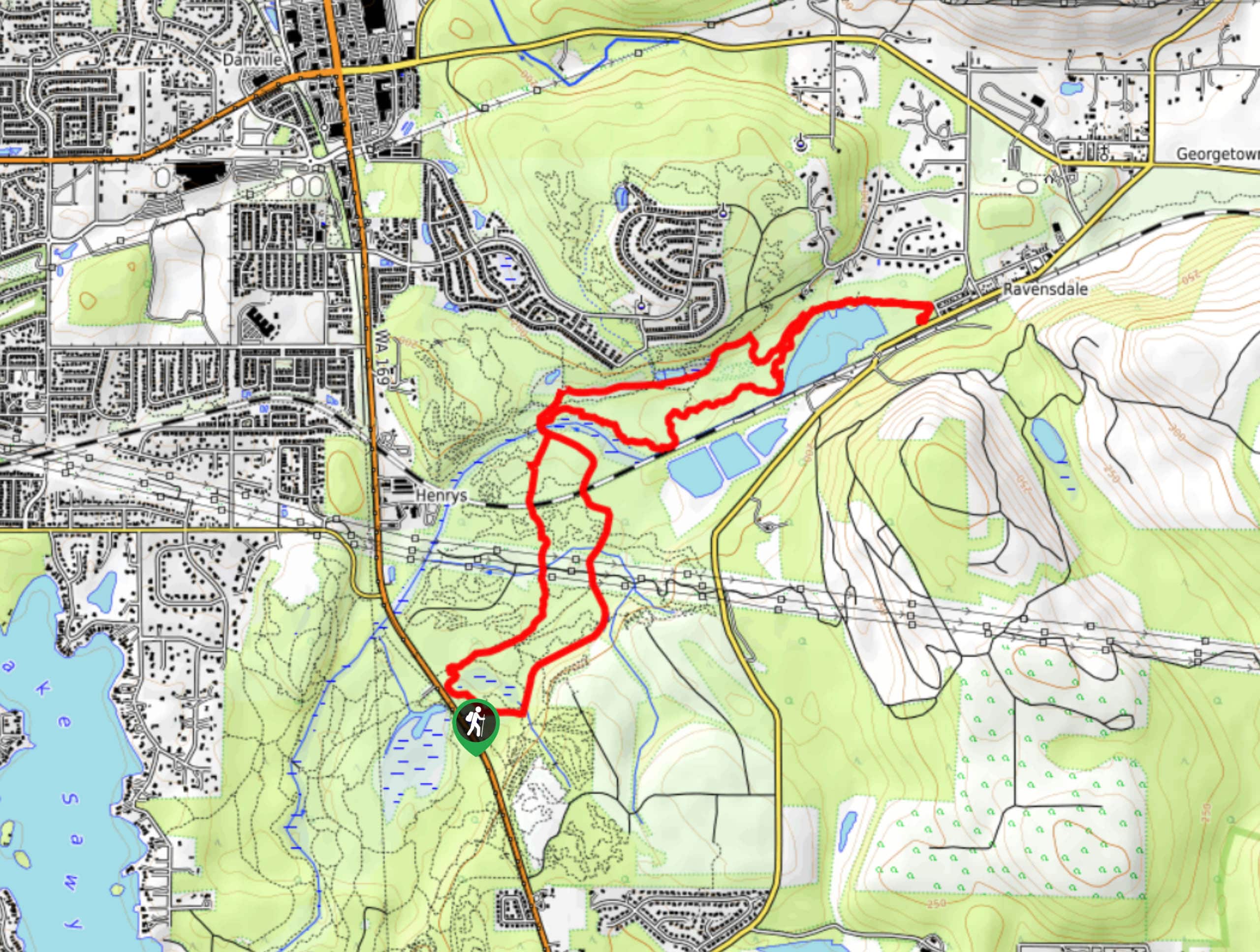
Cable Line Loop to West Tiger #3
View Photos
Cable Line Loop to West Tiger #3
Difficulty Rating:
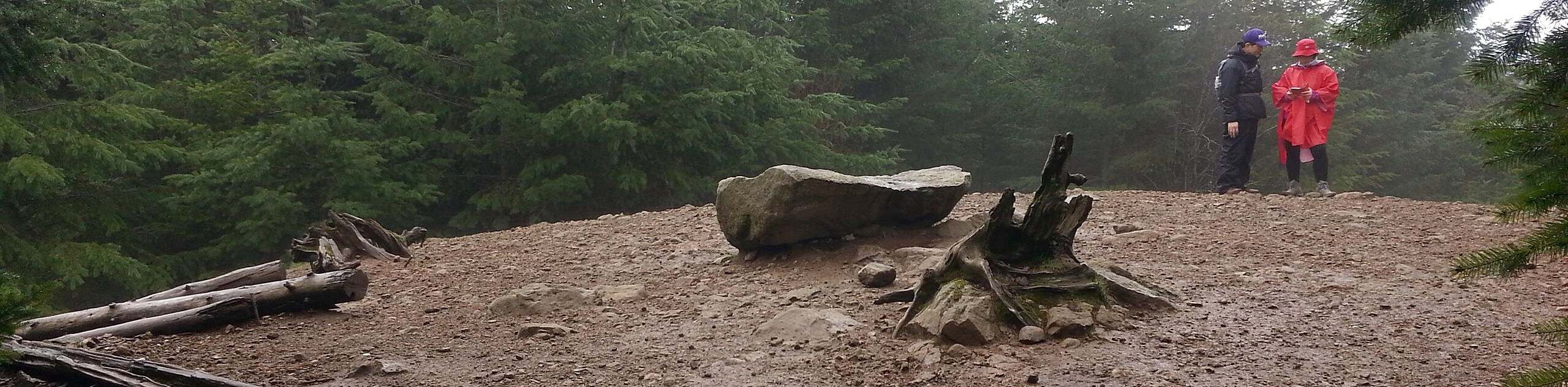
Cable Line Loop to West Tiger #3 is an 5.1mi loop hike in Tiger Mountain State Forest. This trail combines the traditional West Tiger #3 ascent with the Cable Line Trail. You can either head straight up and switchback down or vice versa. This trail is also popular with wildlife enthusiasts, who have spotted everything from owls to bears in the trees.
The privately-owned lands around the West Tiger summit are temporarily closed for road work and logging. The closure began in July 2021 and is indefinite. Some areas of the mountains may be inaccessible during this time.
Getting there
The trailhead for Cable Line Trail to West Tiger #3 is on SE 79th Street off I-90.

About
| Backcountry Campground | No |
| When to do | April-October |
| Pets allowed | Yes - On Leash |
| Family friendly | No |
| Route Signage | Good |
| Crowd Levels | High |
| Route Type | Loop |
Cable Line Loop to West Tiger #3
Elevation Graph
Weather
Cable Line Loop to West Tiger #3 Hike Description
Cable Line Loop to West Tiger #3 combines the traditional trail up West Tiger #3 with the Cable Line Trail. This hike is hard but not overly challenging, making it a go-to conditioning hike. The proximity to Seattle also draws lots of visitors on nice weekends.
You can take this loop either way. It’s essentially a straight shot up Cable Line. The climb is consistent and fairly steep for the majority of the trail. The last 100m of the hike flattens out slightly. On the other side, wide switchbacks make the West Tiger #3 Trail easier on the knees. You can either head up Cable Line and down the switchbacks or vice versa depending on whether you’d prefer an easier ascent or descent.
At the top of West Tiger, look out over the surrounding mountains and forest. Look for Mount Rainier and Mount Si. The summit isn’t especially large, but there’s enough room to rest a while before heading down.
Similar hikes to the Cable Line Loop to West Tiger #3 hike

Explorer Falls Hike
The Explorer Falls hike is a 5.3mi moderate hike near Sultan, Washington. This trail takes you to a…
Black Diamond Coal Mine Trail
The Black Diamond Coal Mine Trail is a 6.7mi moderate trail that is mostly used by mountain bikers.…

Far Country Falls via Licorice Fern Trail
Far Country Falls via Licorice Fern Trail is a 4.8mi moderate hike in Cougar Mountain Regional Wildland Park…
Comments