Mount Elbert Southeast Ridge Trail
View Photos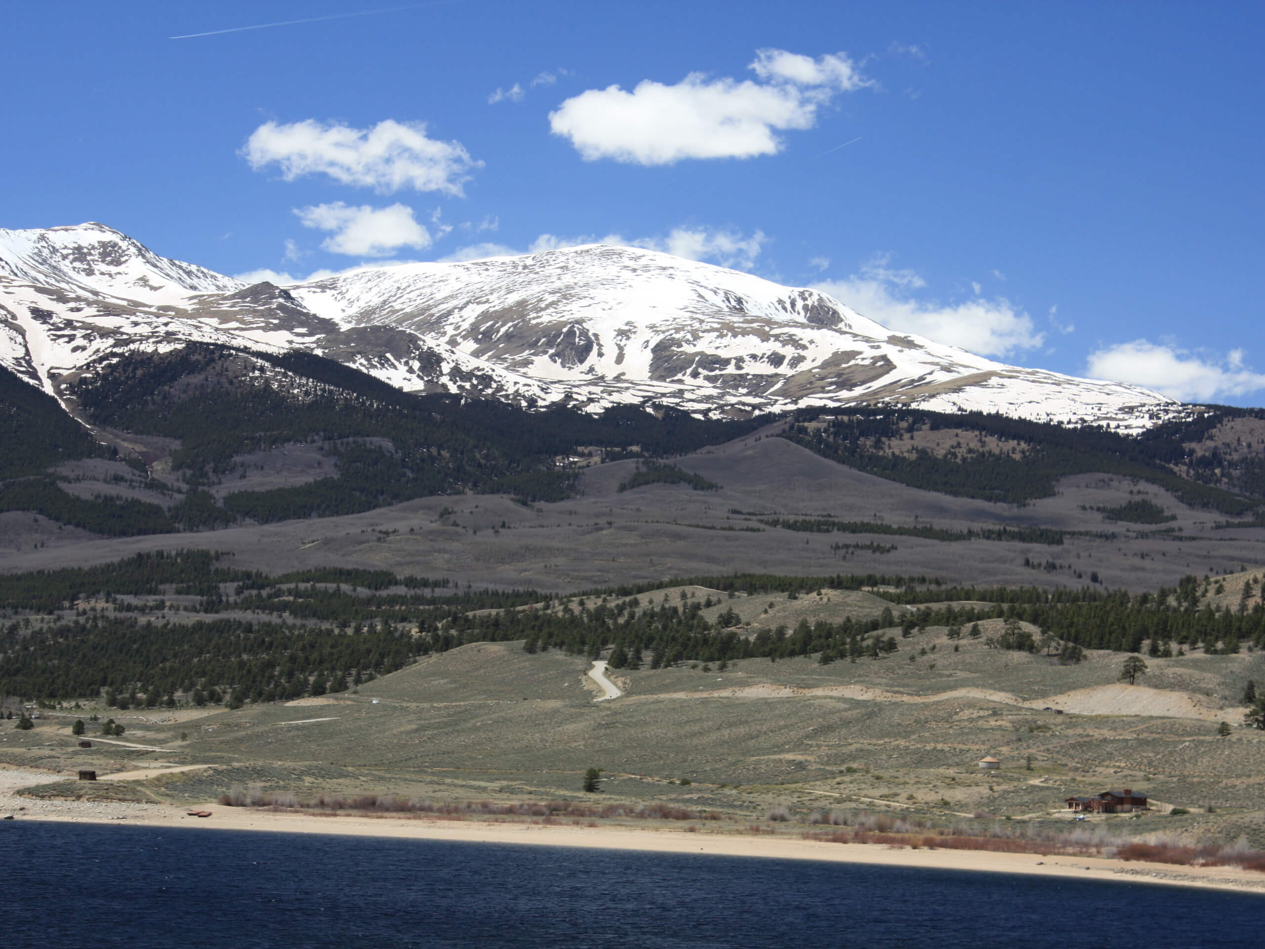
Mount Elbert Southeast Ridge Trail
Difficulty Rating:
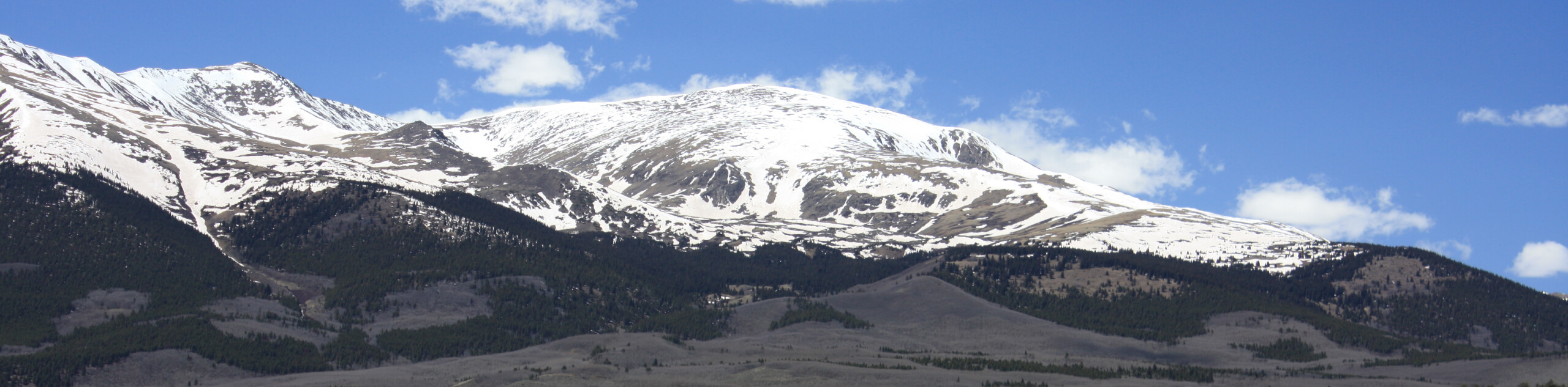
The Mount Elbert Southeast Ridge Trail is one of few routes that lead to the summit of Colorado’s highest peak, and it might just be the most technical option. Shorter than the other routes, this trek climbs up the southeastern slope of the unforgiving summit, revealing some of the best alpine views.
Getting there
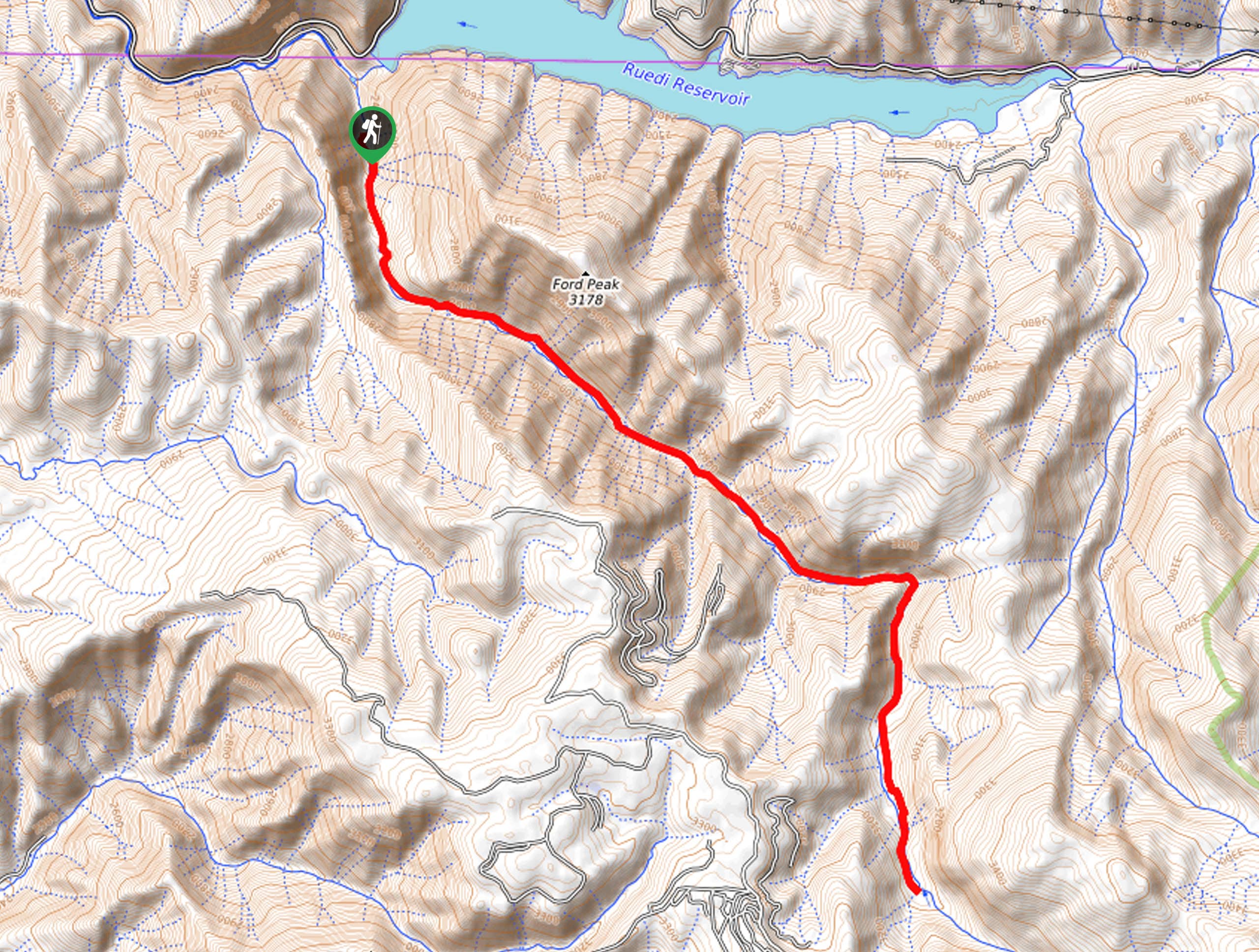
The Mount Elbert Southeast Ridge Trail departs from the Black Cloud Trailhead off State Highway 82.

About
| Backcountry Campground | Dispersed Backcountry Camping |
| When to do | June-September |
| Pets allowed | Yes - On Leash |
| Family friendly | No |
| Route Signage | Average |
| Crowd Levels | High |
| Route Type | Out and back |
Mount Elbert Southeast Ridge Trail
Elevation Graph
Weather
Mount Elbert Southeast Ridge Trail Description
The Mount Elbert Southeast Ridge Hike is an epic high-country adventure in the Sawatch Mountain Range. Reserved for experienced and daring individuals, this expedition demands stamina and preparation. Traveling to extreme elevations, it is important to be acclimated to the area’s altitudes prior to your climb. Additionally, as the peak is barren, we highly suggest summiting before noon to mitigate the chances of getting caught in an afternoon storm which is so common to the region. Finally, crampons and trekking poles will prove extremely helpful as the vertiginous terrain will likely be snow-dusted.
Embark on your adventure up the Mount Elbert Southeast Ridge Trail from the Black Cloud Trailhead. From here, track the Black Cloud Trail north. The initial segment of the hike is especially steep, but don’t let that discourage you. Follow up the path, past campsites and through pine and fir forests and aspen groves. Follow the trail up to Mount Cosgriff, then hike along the saddle to summit Mount Elbert.
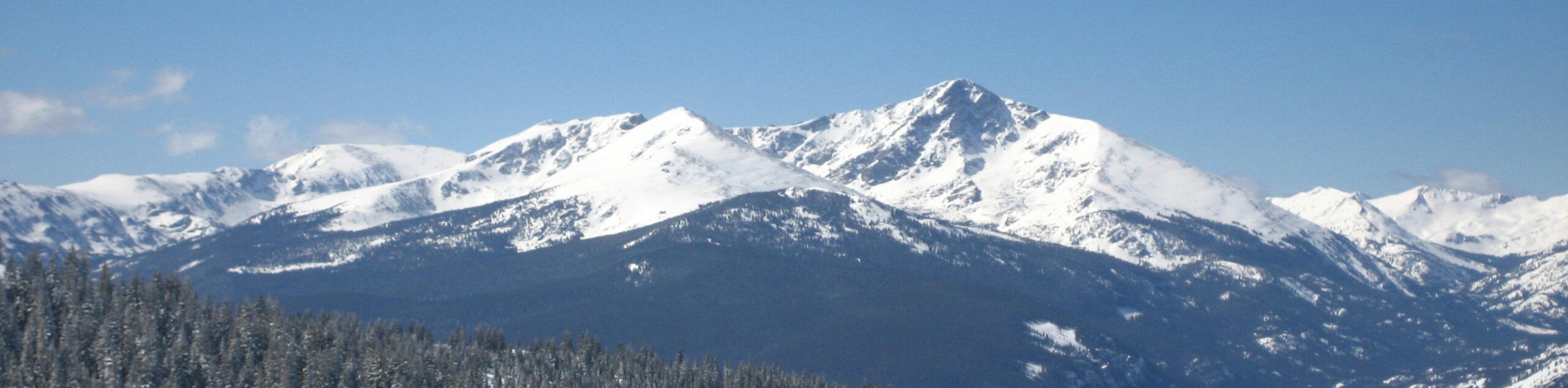
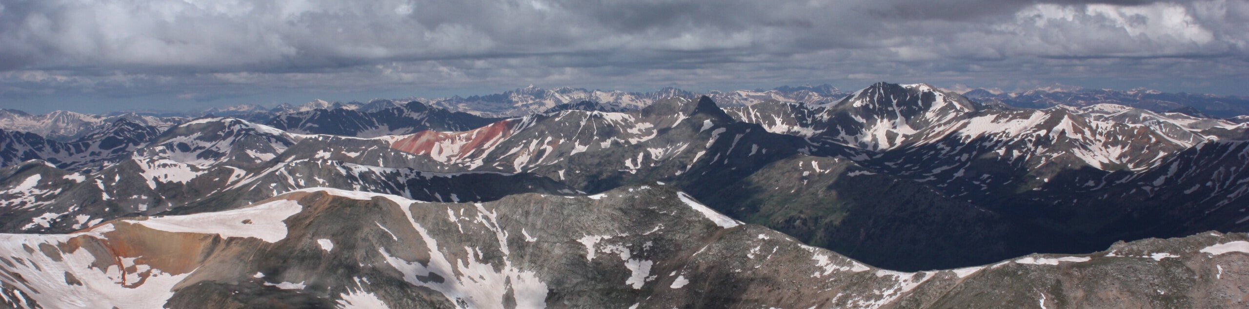
From the summit of Mount Elbert, you will be rewarded with panoramic, 360-degree views of the neighboring Sawatch Mountains. Revel in the grandeur of the dramatic peaks, and when you are done ogling in the scenery, retrace your footing along the path all the way back to the trailhead.
Similar hikes to the Mount Elbert Southeast Ridge Trail hike
Mount of the Holy Cross Loop Trail
Hike up to one of the most famous Colorado 14ers along the Mount of the Holy Cross Loop Trail. This…
Rocky Fork Trail
The Rocky Fork Trail is an unassumingly picturesque adventure through the Rocky Fork Creek’s forested canyon that reveals awe-inspiring views…
La Plata Ellingwood Ridge Hike
The La Plata Ellingwood Ridge Hike is a demanding feat that requires an experienced adventurer with an intrepid spirit. If…
Comments