Parley’s Trail
View Photos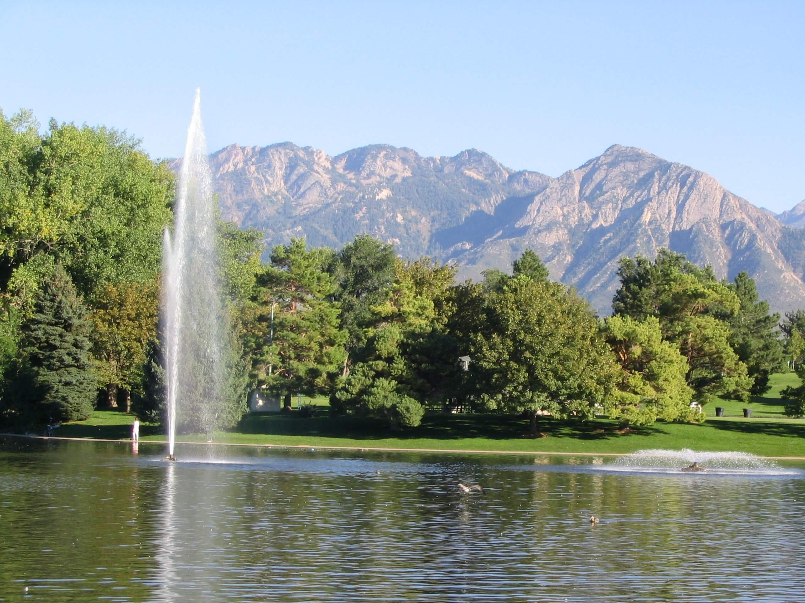
Parley’s Trail
Difficulty Rating:
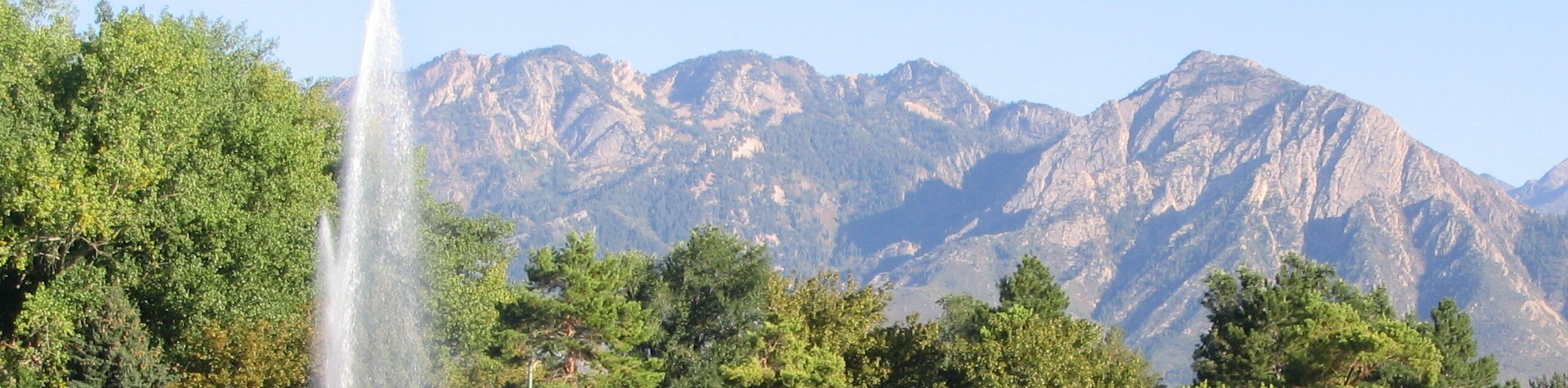
Parley’s Trail is an east-west, multi-use path that connects the Bonneville Shoreline Trail with the Jordan River Parkway. Along Parley’s Trail, hikers can stop at neighborhood coffee shops, historic sites, and local shops. Dogs may accompany you on your hike along Parley’s Trail, but they must be kept on leash.
Getting there
This hike begins at the Parley’s Crossing Trailhead located at the north end of South Wasatch Boulevard.

About
| Backcountry Campground | No |
| When to do | Year-round |
| Pets allowed | Yes - On Leash |
| Family friendly | No |
| Route Signage | Average |
| Crowd Levels | Moderate |
| Route Type | Out and back |
Parley’s Trail
Elevation Graph
Weather
Parley’s Trail Description
Hiking Parley’s Trail is a wonderful way to see Salt Lake City. Although this trail is well-maintained and travels through an urban center, proper footwear is essential, as nothing ruins a fun hike faster than sore feet and a bad blister! Parley’s Trail is a multi-use path with lots of walkers, runners, and cyclists; please be mindful of others, keep your dog on a leash, and let people pass you by. Along this hike you will pass through Parley’s Historic Nature Park and the trendy and historic Sugar House Neighborhood. There are so many wonderful stops along this route that will give you a different taste of the culture and history of this great city.
From Parley’s Crossing Trailhead, follow the path as it heads west across the city. Stop for coffee and treats along the way and enjoy your time exploring Salt Lake.
Parley’s Trail ends at the junction with the Jordan River Parkway. At this junction, simply turn around and follow the path back to the trailhead where you began.
Similar hikes to the Parley’s Trail hike

Willow Hollow, Ridge, and Pine Hollow Trail
The Willow Hollow and Pine Hollow Trail is a beautiful route in the Uinta-Wasatch-Cache National Forest. This trail is an…

Solitude to Beaver Pond Trail
The Solitude to Beaver Ponds Trail is a beautiful hike through the Uinta-Wasatch-Cache National Forest. This trail is lush and…

City Creek Canyon Road
The City Creek Canyon Road is a popular trail just north of downtown Salt Lake City, Utah. This path is…
Comments