Grandeur Peak Loop
View Photos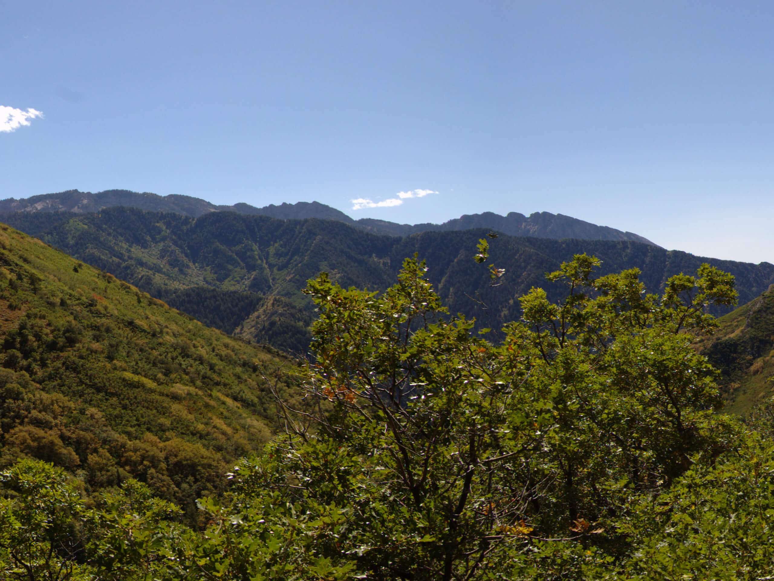
Grandeur Peak Loop
Difficulty Rating:
The Grandeur Peak Loop is a fantastic challenge for experienced adventurers. With over 4000ft of elevation over 9.0mi, this hike is a serious workout. This trail is tough but the views along the way and the sense of accomplishment at the trail's end make it totally worth it.
Getting there
The Grandeur Peak Loop begins at the Parley’s Crossing Trailhead at the north end of South Wasatch Boulevard on the eastern edge of Salt Lake City, UT.

About
| Backcountry Campground | No |
| When to do | Year-round |
| Pets allowed | Yes - On Leash |
| Family friendly | No |
| Route Signage | Average |
| Crowd Levels | Moderate |
| Route Type | Circuit |
Grandeur Peak Loop
Elevation Graph
Weather
Grandeur Peak Loop Description
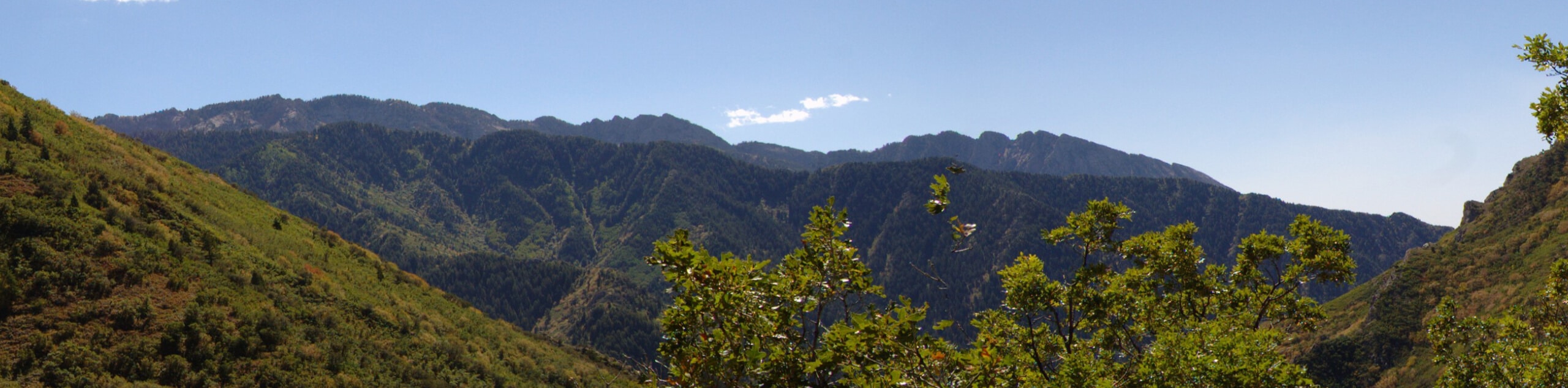
The Grandeur Peak Loop is a fantastic challenge for experienced hikers. This trail is seriously steep; proper footwear, lots of water, and salty snacks to replenish your electrolytes are all important things to have with you for this one. We strongly recommend bringing along a set of hiking poles to aid you on the climb and save your joints some strain on the way back down. Your four-legged friends are allowed to join you on this trail, but dogs must be kept on a leash the whole time. If you do bring your dog, remember to bring enough water to share. The trail up to Grandeur Peak has little shade and can get unbearably hot in the afternoon sun. If you are going to attempt this loop, start early in the morning to beat the heat.
This hike may be a challenge, but the views from this trail are worth it. At the summit of Grandeur Peak, you will earn sweeping views of Salt Lake City and the Utah Wilderness. If you are looking for a slightly less arduous hike, this peak can also be reached via the West Face Trail and the East Trail Via Church Fork.
From Parley’s Crossing Trailhead, follow the “Grandeur Peak West Trail” signage that directs you along the path heading east for 2.5mi to the summit. Take a long rest at the top of Grandeur Peak and soak in the incredible views of the valley below. When you’re ready, follow the trail that heads down the east side of the mountain. Approximately 0.8mi from the summit, this trail will split, take the right-hand path and follow the switchbacks down to Church Fork. You can use the facilities at the Church Fork Picnic area, but it is important to know that there is no drinking water available at this site. From the picnic area, follow the Pipeline Trail to head back west. At the divide on the west side of Rattlesnake Gulch, take the right-hand path to jump on the Crestwood Gulch Trail. Stay right at the subsequent divides until you find yourself back on the Grandeur Peak West Trail.
Once you’re in familiar territory, follow your footsteps back to the Parley’s Crossing Trailhead, where you began.
Frequently Asked Questions
How tall is Grandeur Peak?
Grandeur Peak is 8229ft tall.
Are dogs allowed on the Grandeur Peak Loop?
Dogs are allowed on the Grandeur Peak Loop but must be kept on-leash at all times. Please keep in mind that this is a strenuous hike with very little shade and may not be appropriate for all dogs.
Insider Hints
This is a long trek, hiking poles are strongly recommended
If you head out on this hike in the winter, traction devices such as microspikes are essential
This loop can be done in either direction, however most folks prefer to hike this loop clockwise (as described above)
Similar hikes to the Grandeur Peak Loop hike

Willow Hollow, Ridge, and Pine Hollow Trail
The Willow Hollow and Pine Hollow Trail is a beautiful route in the Uinta-Wasatch-Cache National Forest. This trail is an…

Solitude to Beaver Pond Trail
The Solitude to Beaver Ponds Trail is a beautiful hike through the Uinta-Wasatch-Cache National Forest. This trail is lush and…

City Creek Canyon Road
The City Creek Canyon Road is a popular trail just north of downtown Salt Lake City, Utah. This path is…
Comments