Bonneville Shoreline Trail: Provo Canyon Section
View Photos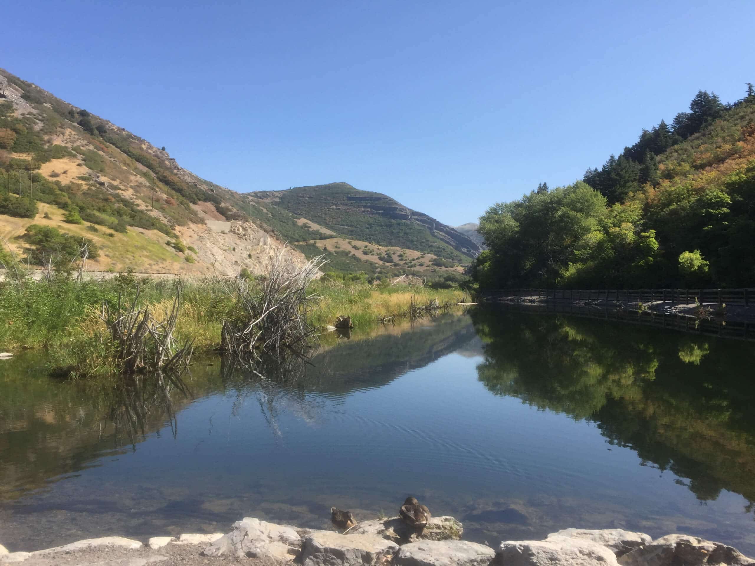
Bonneville Shoreline Trail: Provo Canyon Section
Difficulty Rating:
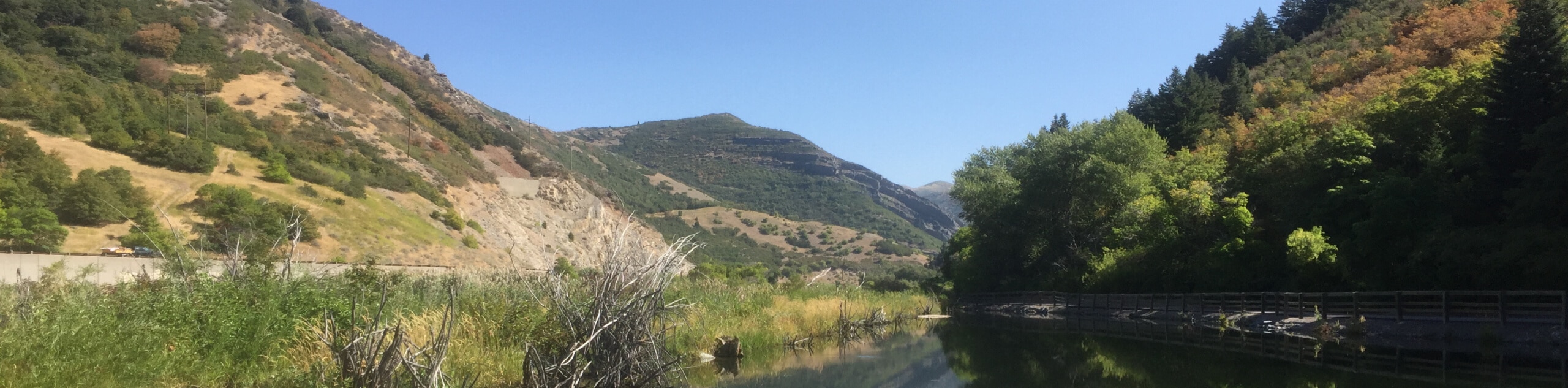
The Bonneville Shoreline Trail: Provo Canyon Section is a lovely route with fantastic views of the Provo Valley. This trail is relatively low traffic but for those who hike it, it quickly becomes a favorite. The Provo Canyon Section of the Bonneville Shoreline Trail is a great hike and an excellent trail run for those who like a faster pace.
Getting there
This hike begins at the Lower Bridal Veil Falls parking lot on the east side of Provo Canyon Road.

About
| Backcountry Campground | Camping at Nunns Park near Trailhead |
| When to do | Year-round |
| Pets allowed | Yes |
| Family friendly | No |
| Route Signage | Average |
| Crowd Levels | Moderate |
| Route Type | Out and back |
Bonneville Shoreline Trail: Provo Canyon Section
Elevation Graph
Weather
Bonneville Shoreline Trail: Provo Canyon Section Description
The Bonneville Shoreline Trail: Provo Canyon Section is a gorgeous hike just outside of Provo, Utah. This trail is intersected by a large number of spur trails and ATV tracks and finding the right path can be confusing so we recommend downloading a map before heading out. There is also a fair amount of private property around this trail, please be respectful of the signage and stick to the path.
The Provo Canyon Section of the Bonneville Shoreline Trail is a gorgeous hike with incredible views of the Provo Valley. This trail makes a fantastic trail run with varied terrain and a good incline; you can even bring your favorite four-legged running buddy along with you! If you do bring your pup on this trail, be mindful of other animals and wildlife; deer are often seen roaming this route and snacking along the trail.
From the trailhead at the Lower Bridalveil Falls parking area, follow the Provo River Parkway northeast for just 0.1mi before jackknifing southwest down the Bonneville Shoreline Trail (BST). After half a mile, you will start to see a number of spur trails and ATV tracks intersecting the BST, this is a good spot to pull out your map. Follow the Bonneville Shoreline Trail as it winds its way southwest for approximately 4.8mi until you reach the junction with North Brookshire Circle.
When you see the road, it’s time to turn back. From North Brookshire Circle, simply turn around and follow the same path northeast back to the Bridalveil Falls Parking area where you began.
Insider Hints
The moderate incline and beautiful scenery make this route an excellent trail run
Head out on this trail in July to see the wildflowers in full bloom
Please be mindful and respectful of the private property around this trail
Similar hikes to the Bonneville Shoreline Trail: Provo Canyon Section hike

Willow Hollow, Ridge, and Pine Hollow Trail
The Willow Hollow and Pine Hollow Trail is a beautiful route in the Uinta-Wasatch-Cache National Forest. This trail is an…

Solitude to Beaver Pond Trail
The Solitude to Beaver Ponds Trail is a beautiful hike through the Uinta-Wasatch-Cache National Forest. This trail is lush and…

City Creek Canyon Road
The City Creek Canyon Road is a popular trail just north of downtown Salt Lake City, Utah. This path is…
Comments