Damnation Creek Trail
View Photos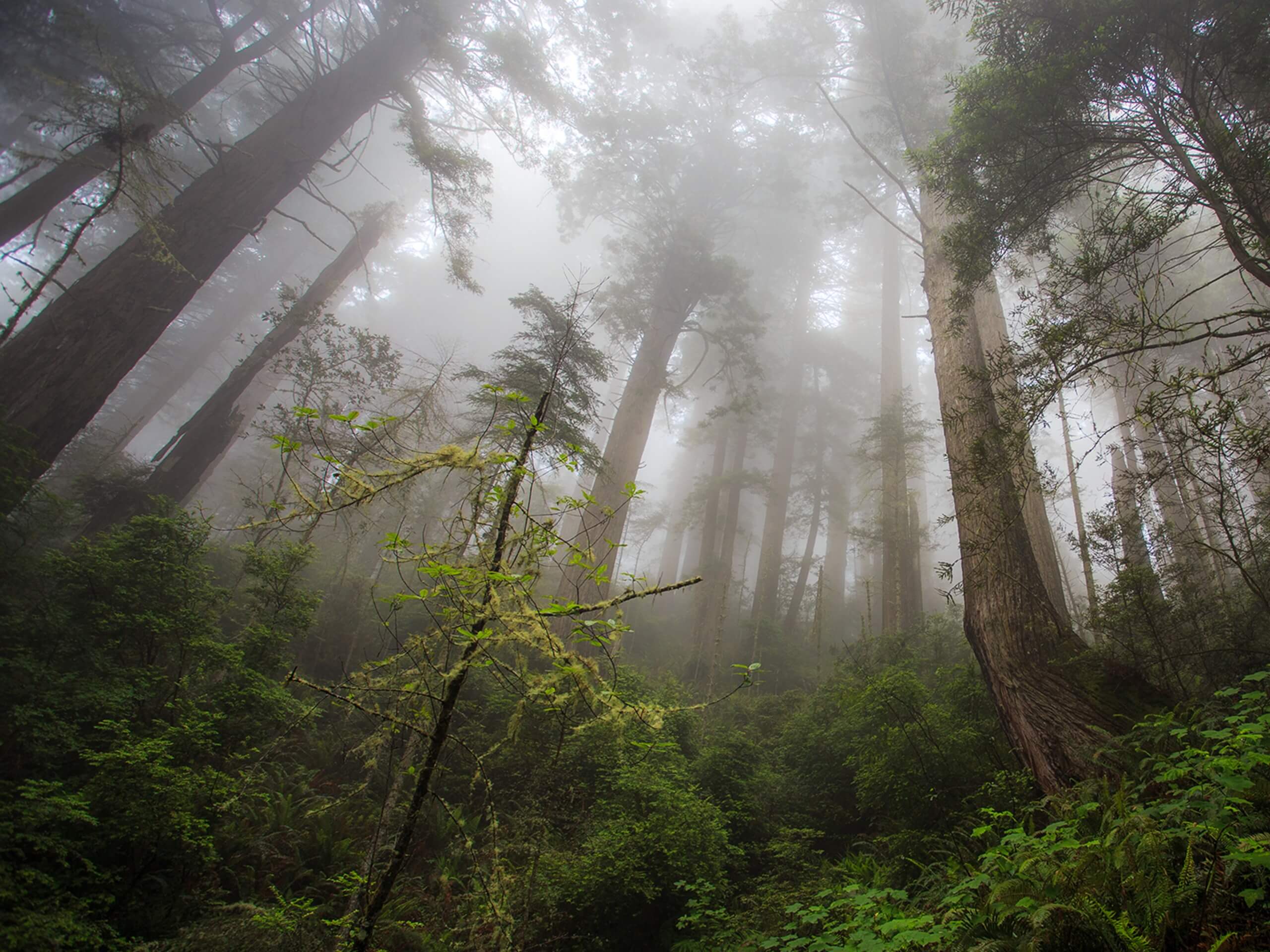
Damnation Creek Trail
Difficulty Rating:
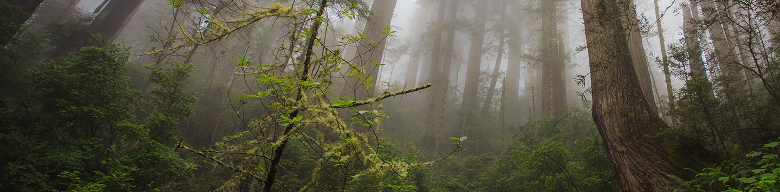
The Damnation Creek Trail boasts a dramatic adventure through the Del Norte Coast Redwood State Park. This epic hike explores an old-growth redwood forest, plunging over 1000ft down to the rugged coastline of the Pacific Ocean.
Due to a structural failure of a footbridge approximately [units unit="mi" value="1.75"] from the Damnation Creek trailhead, the bridge has been closed to public access. The Damnation Creek Trail remains open to the bridge.
Getting there
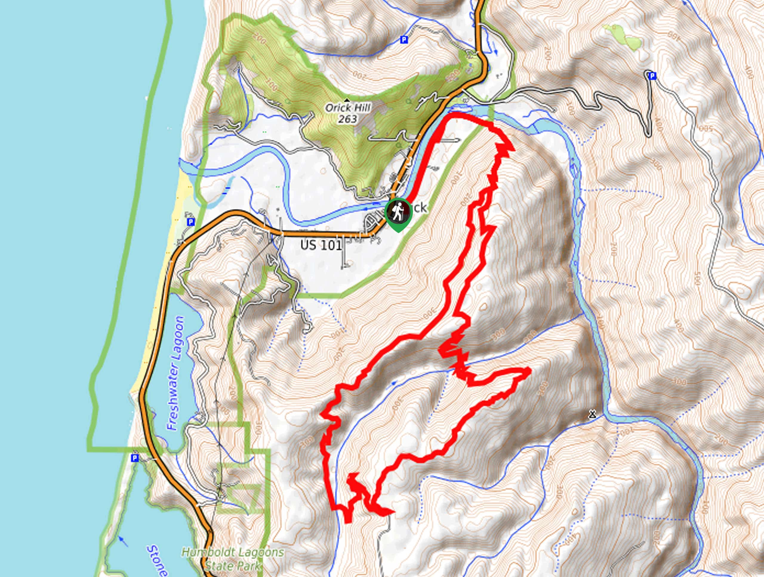
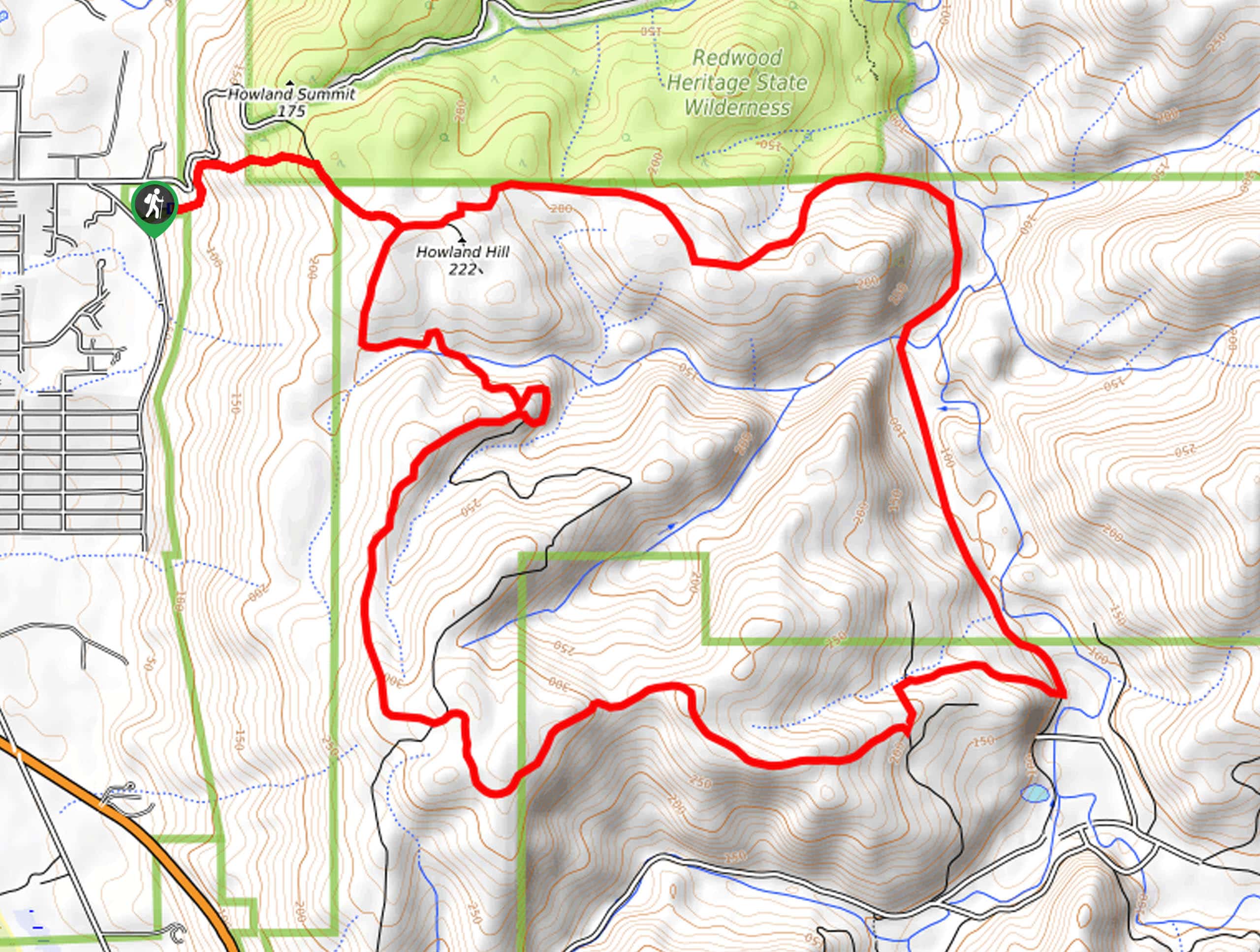
Access the Damnation Creek Trail from the trailhead off Redwood Highway at mile marker 16.

About
| Backcountry Campground | No |
| When to do | Year-round |
| Pets allowed | No |
| Family friendly | Older Children only |
| Route Signage | Good |
| Crowd Levels | Moderate |
| Route Type | Out and back |
Damnation Creek Trail
Elevation Graph
Weather
Damnation Creek Trail Description
The Damnation Creek Trail is a wonderful hike that boasts an exciting experience. Wander through the primeval redwood grove, which drops down Damnation Cove. Unparalleled in its diversity of scenery, this trek demands stamina and careful footing. The trail travels over Damnation Creek, and the bridges, though managed, often fall into disrepair due to extreme weather conditions. When the bridges are inaccessible, you will either need to turn around or, if the waters are low enough, boulder hop across the creek—at your own risk, of course. Additionally, the rearmost section of the trail leads down to the rocky beach but beware of high tides and surging ocean swells when venturing down to the cove. Note the steep descent also demands a vertiginous ascent—so make sure you reserve energy.
Reserved for intrepid adventurers, the Damnation Creek Trail is at the top of our hiking itinerary. This is a truly picturesque trek offering dramatic vistas from the enchanting woodlands to the rugged coastline. The woodland canopy allows beams of sunlight to pierce through the towering trees and offers sporadic views of the ocean through the tree break. As you rove, keep an eye out for wildflowers and wild mushrooms that adorn the terrain, giving the path a more whimsical ambiance. If you are seeking a scenic, but strenuous adventure, then a trip along the Damnation Creek Trail is a must-do!
Setting out from the trailhead, the Damnation Creek Hike follows the connector trail northwest into the woodlands. The initial segment of the hike runs parallel to the highway, so your magical adventure will be interrupted by the sound of traffic. Wandering through the lush green forest abundant with towering redwoods, ferns, and huckleberry bushes. Traveling along a ridge top, you will eventually reach an intersection with the Coastal Trail. Here you will notice a sign reading ‘steep and strenuous, 1.5mi to the beach’—this is how you know you are in the right spot.
Veer left here, and you will be diverted onto the Damnation Creek Trail. This path will guide you more steeply down through the redwood grove, and the sound of the traffic will fade away. Navigating the vertiginous terrain via switchbacks, you will be led amongst even more impressive redwoods—revealing the enormity and beauty of these primeval conifers. Continue hiking, and you will be guided through an a-frame bridge over Damnation Creek bounded by fern draped canyon walls. Note, if you hear a siren during your hike, don’t be alarmed; you can often hear the Crescent City foghorn from here! Soon the path will cross another bridge and open to a grassy bluff overlooking the ocean.
The final descent to the beach is precarious, guiding you down a stairway carved into the rock. Take your time and mind your footing on the often slippery terrain, and you will ultimately reach the shoreline of the Pacific Ocean. Before exploring the rocky beach, it is important to survey the tide and swell. If all looks calm, take the time to venture around Damnation Cove and revel in the beauty of the rock arch and outcrops that decorate the water. Admire the scene of the imposing craggy bluffs that hem the coast, and when you are ready and rested, begin your hike back up the path. To get back to the trailhead, simply retrace your footing along the route to the trailhead.
Frequently Asked Questions
How long is the Damnation Creek Trail?
The Damnation Creek Trail is a 3.4mi out-and-back hike in the Del Norte Coast Redwood State Park.
Where is the Damnation Creek Trail?
The Damnation Creek Trail is located in the Del Norte Coast Redwoods State Park off Redwood Highway, south of Crescent City.
Are dogs allowed on the Damnation Creek Trail?
No, dogs are not permitted on the Damnation Creek Trail.
Why is it called Damnation Creek?
It is widely believed that Damnation Creek was awarded its name by settlers who navigated the rough terrain in the 1800s.
Insider Hints
Wear a sturdy pair of footwear to aid in the navigation of the vertiginous terrain
Pack lunch and have a picnic on the shore overlooking the ocean
Charge your camera—the enchanting forests and dramatic coastline are picture-perfect
Dress in layers as the beach may be cooler than the woodlands
Cross the creek by foot at your own risk, and only maneuver the rocky creek bed if the water is low
Only explore the shoreline and Damnation Cove if the tide is low!
Similar hikes to the Damnation Creek Trail hike
Holter Ridge via Lost Man Trail
The Holter Ridge via Lost Man Trail is a popular mountain biking route in Redwood National Park—but it is open…
McArthur Creek Loop
Discover the beauty and diversity of Northern California’s coast along the McArthur Creek Trail. This challenging day hike exhibits the…
Mill Creek Horse Trail
Indulge yourself in the magical scenery of California’s coastal rainforests along the Mill Creek Horse Trail. This secluded adventure provides…
Comments