Mount Cokely
View Photos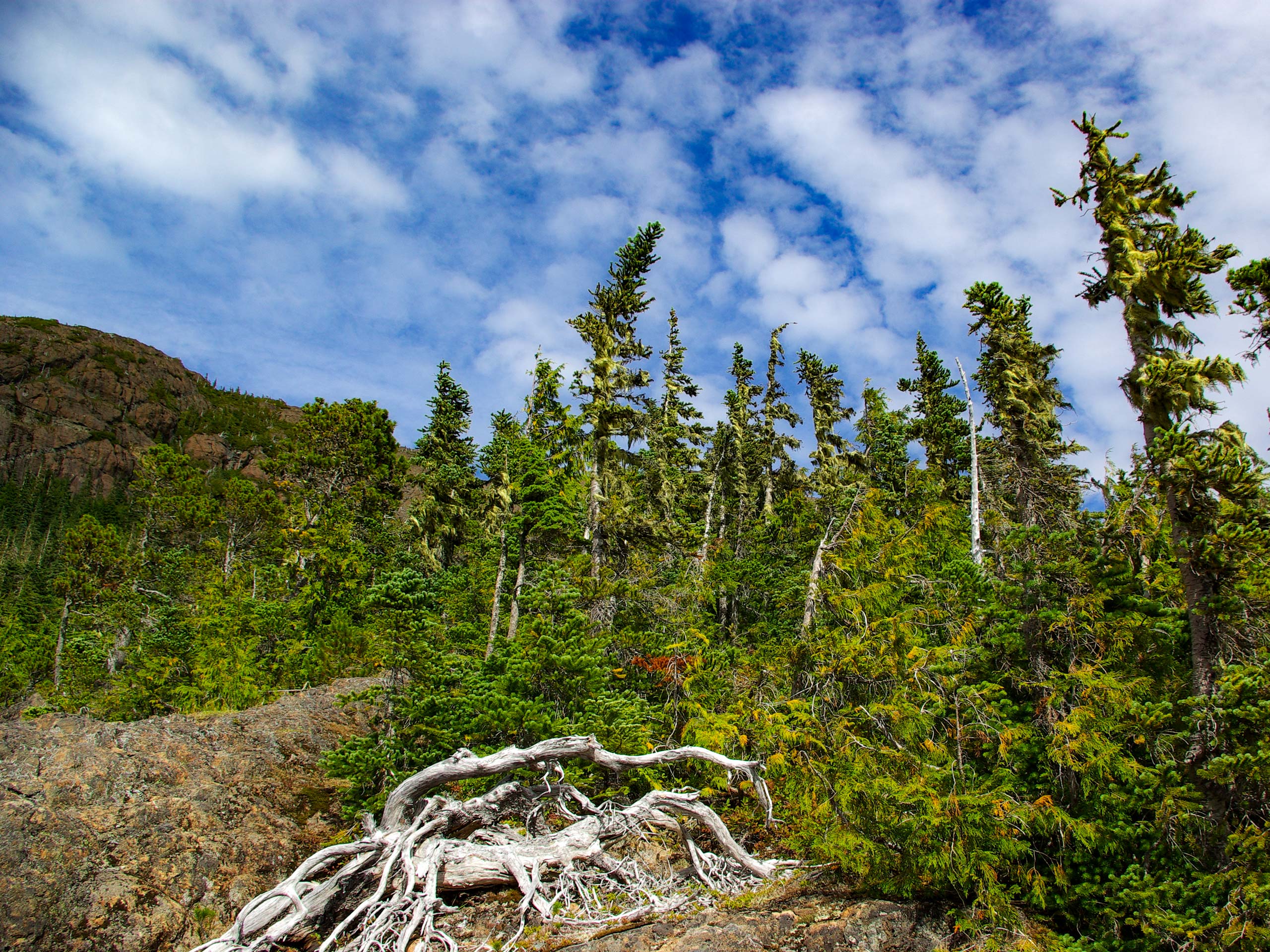
Mount Cokely
Difficulty Rating:
Hiking up Mount Cokely is an amazing - if challenging - experience near Port Alberni that will take you uphill to reach the saddle below Mount Arrowsmith. While out on this hike, you will climb up the rugged terrain of the mountainside to reach a lookout atop Mount Cokely, with views of neighbouring Mount Arrowsmith and the jagged peaks of the interior off in the distance. This trail is only accessible on weekends due to logging operations in the area.
Getting there
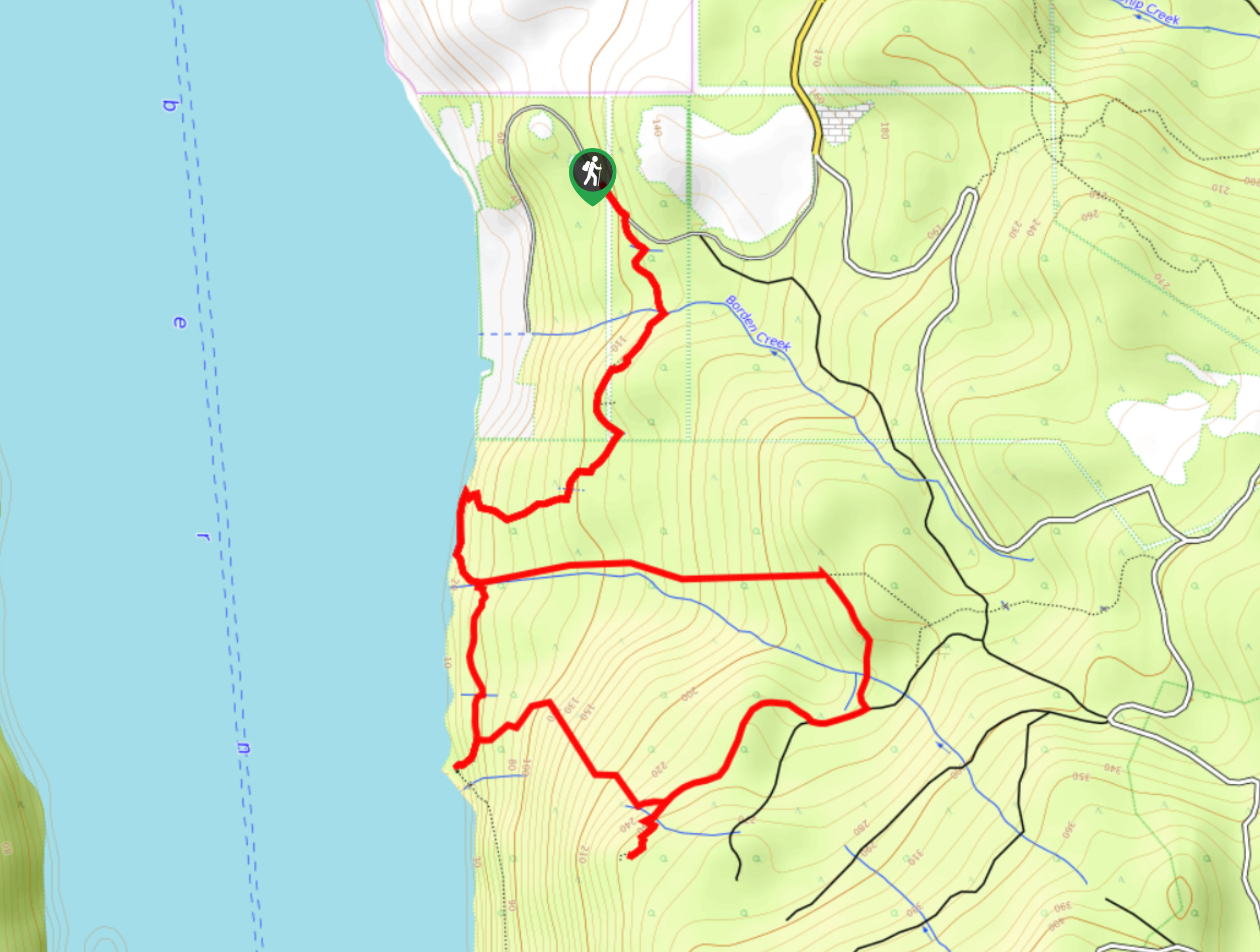
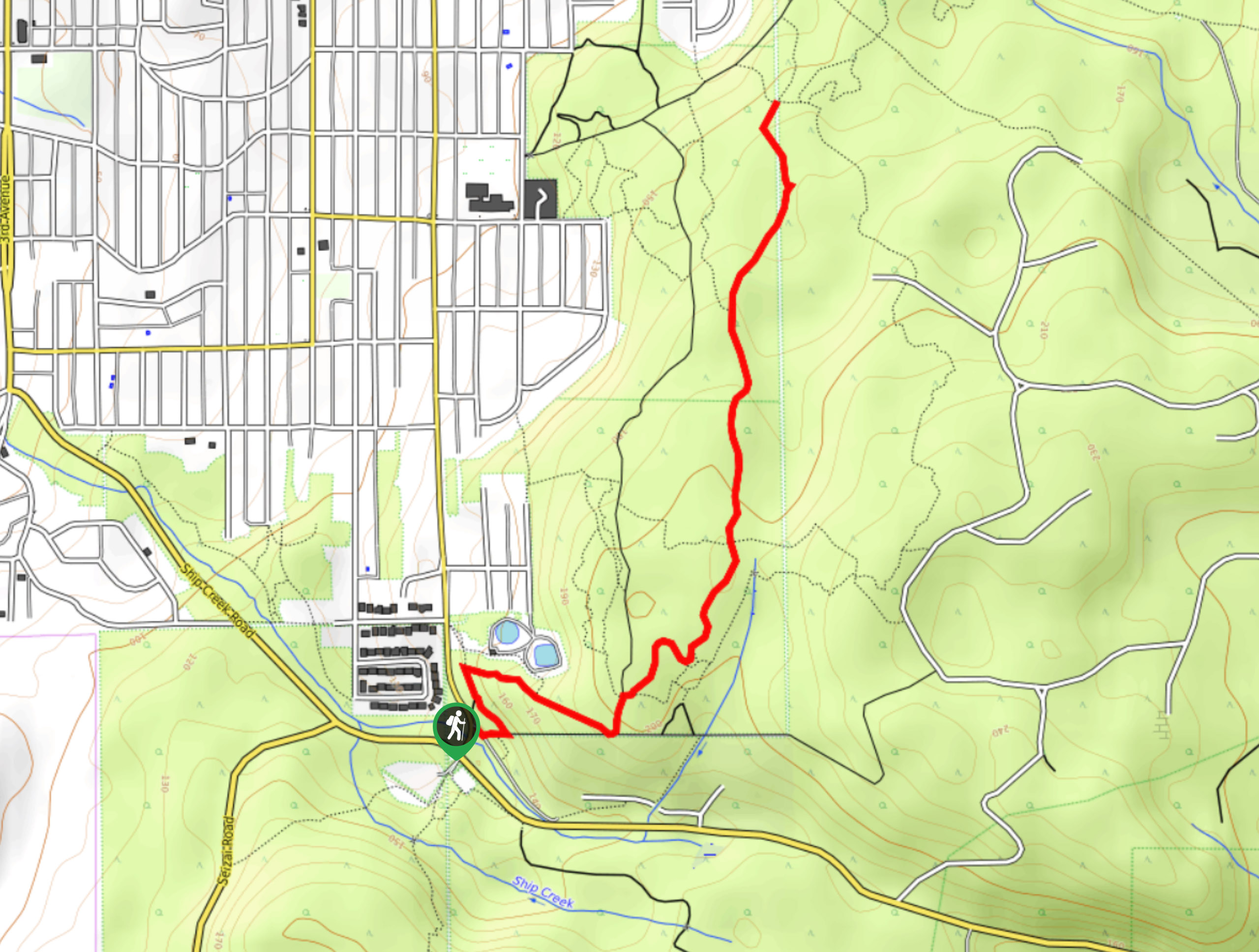
To reach the trailhead for the Mount Cokely Trail from Port Alberni, head to the northeast on the Port Alberni Highway for 1.8mi and merge onto BC-4. Follow this for 3.3mi and turn right onto Loon Lake Main. Continue on for 1.7mi and turn left onto Cameron Main, following it for 4.8mi. Make another left onto Pass Main and you will find the trailhead on the right in 4.5mi.

About
| When to do | March-September |
| Backcountry Campsites | No |
| Pets allowed | Yes - On Leash |
| Family friendly | No |
| Route Signage | Average |
| Crowd Levels | Moderate |
| Route Type | Out and back |
Mount Cokely
Elevation Graph
Weather
Mount Cokely Trail Description
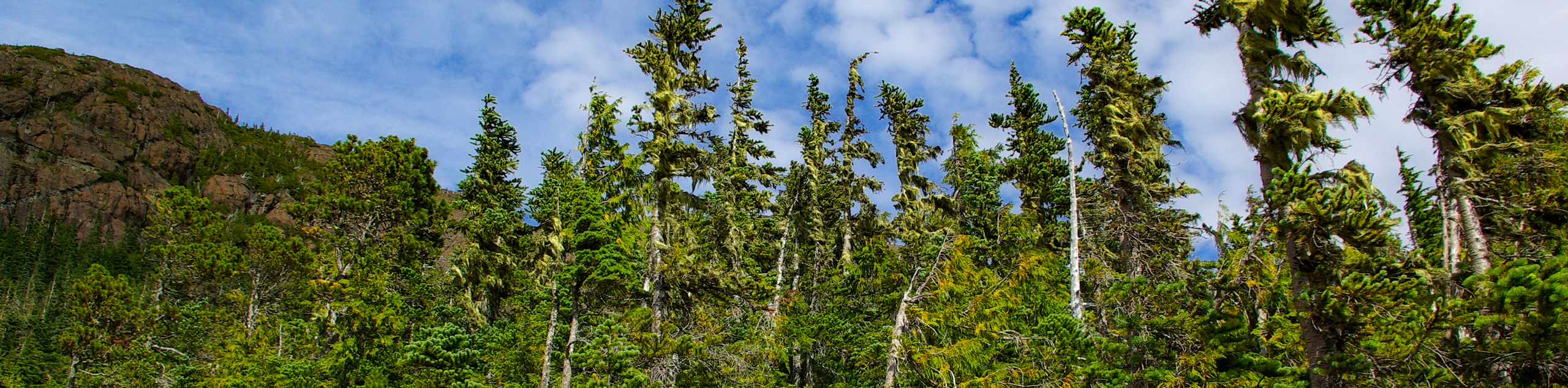
Although it is a difficult route that is best suited for experienced hikers, Mount Cokely is a popular peak to climb in the Port Alberni area thanks to its absolutely breathtaking views of nearby Mount Arrowsmith and the surrounding landscapes of Vancouver Island. This trail will likely still have a fair amount of snow on it into the mid-summer months, making gaiters and crampons a necessity. Setting out from the trailhead, the route will lead you east along a logging road for a short distance before breaking off onto a footpath through the forest. From here, the terrain will begin to steepen as you make your way through the tree cover, eventually coming out onto some open terrain that will lead you up to the saddle. After an intense climb, you will come to the summit of Mount Cokely, where you will experience panoramic views that include the imposing Mount Arrowsmith close by to the south, as well as the mountains of the interior. After revelling in the jaw-dropping scenery, carefully make your way down the mountainside to return to the trailhead.
Similar hikes to the Mount Cokely hike
Mount Hankin Bluffs Loop Trail
The Mount Hankin Bluffs Loop is a moderate length lollipop hiking route just south of Port Alberni that will expose…
Fir Baby Trail
The Fir Baby Trail is a great hiking route on the eastern edge of Port Alberni, BC, that will lead…
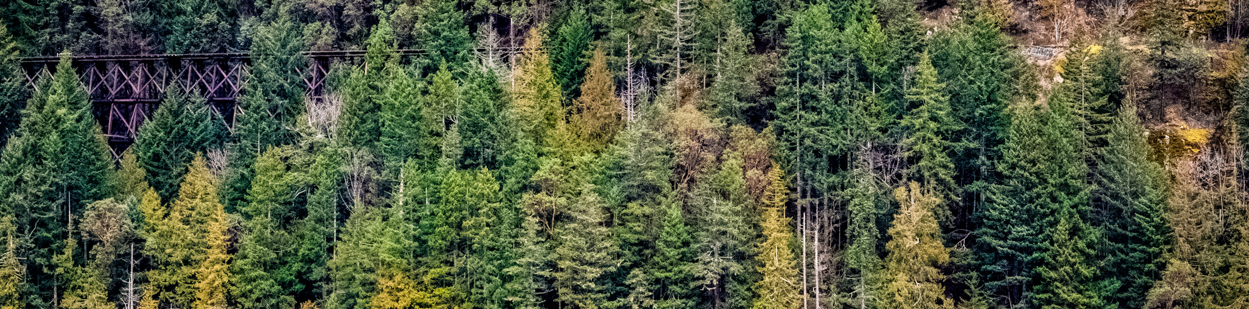
Cameron Lake Railway Trestles
Hiking to the Cameron Lake Railway Trestles is a fun, family-friendly experience that will take you to several scenic viewpoints…
Comments