CPR Trail
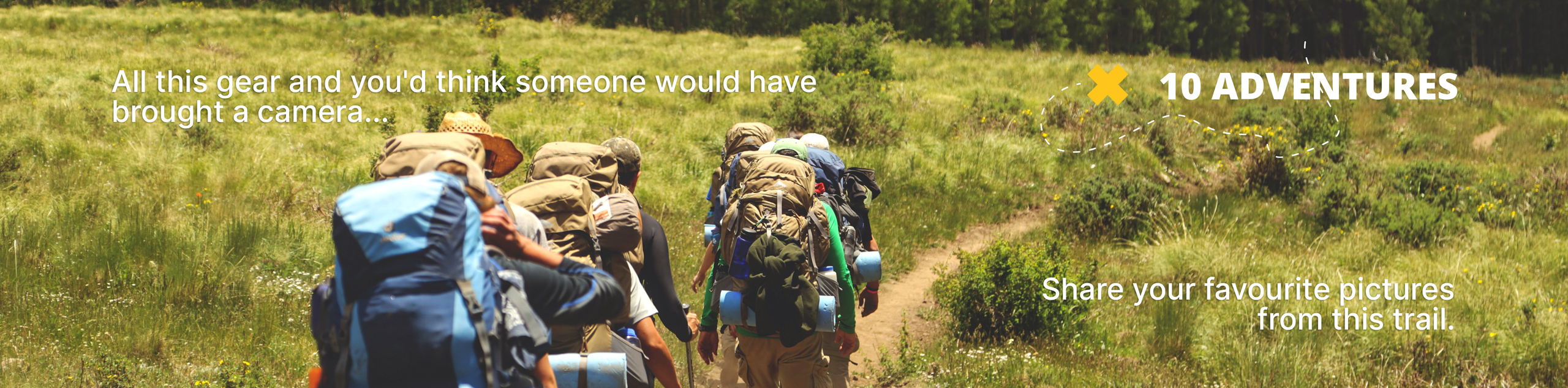
View Photos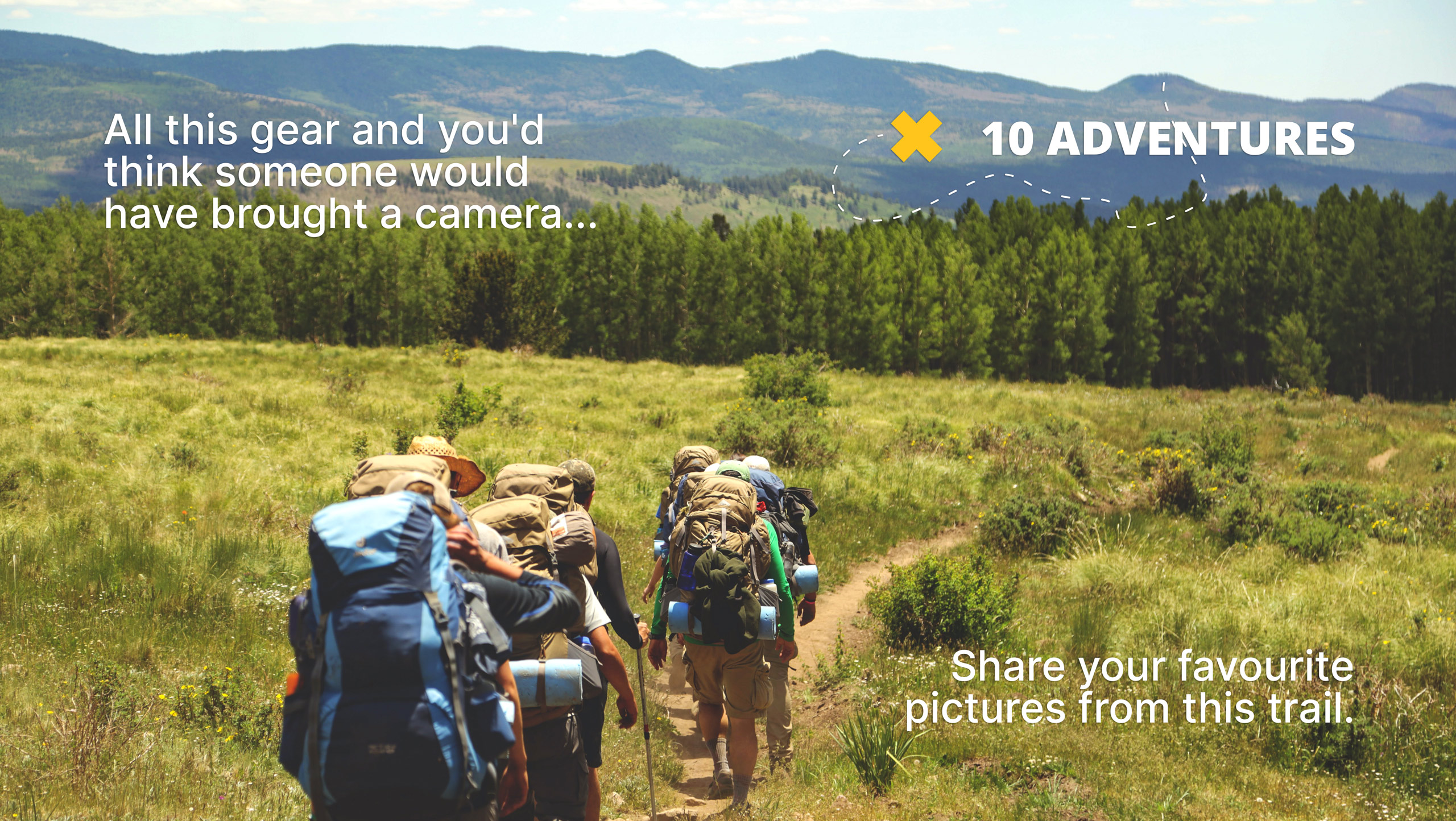
CPR Trail
Difficulty Rating:
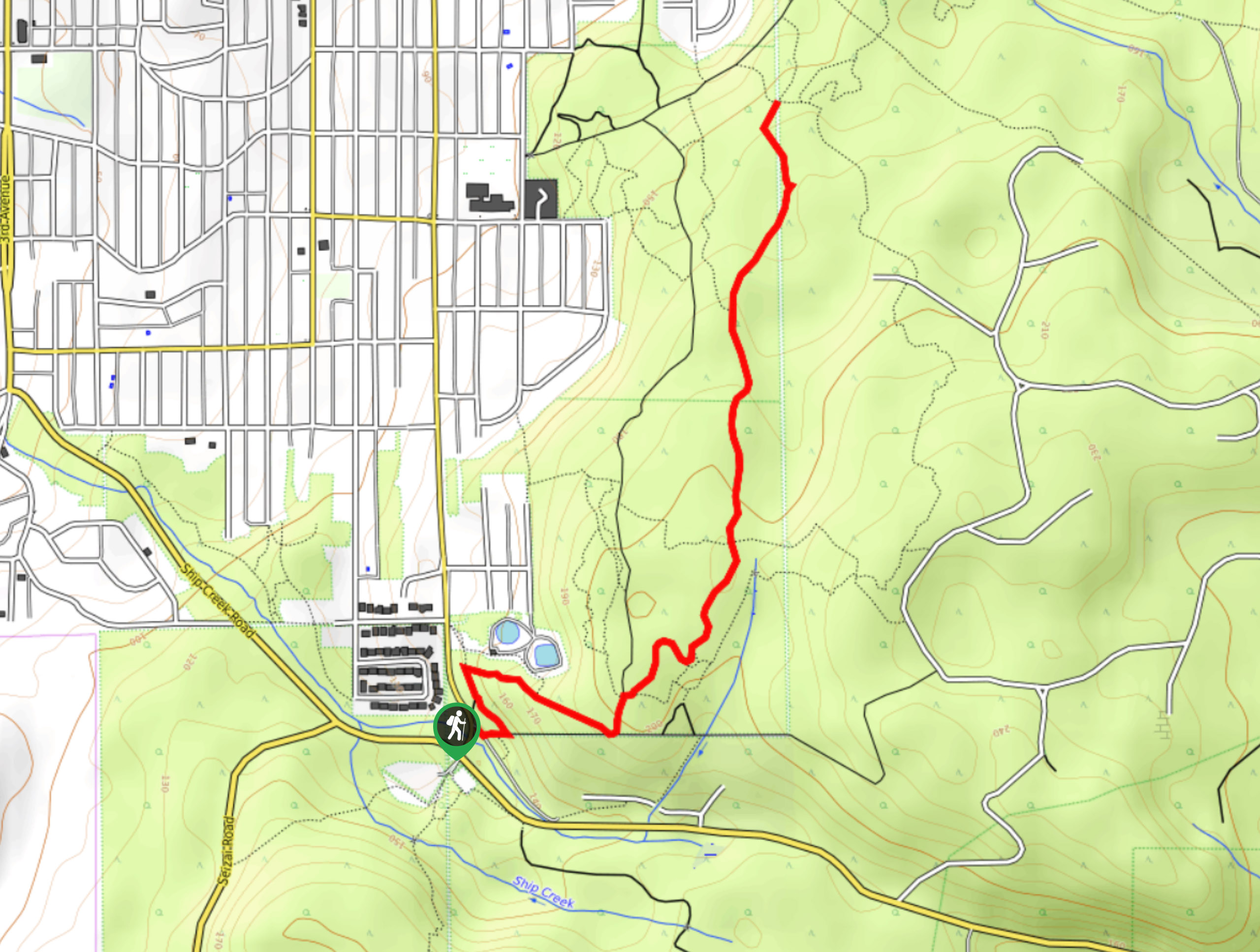
The CPR Trail is a challenging but ultra scenic hiking route to the east of Port Alberni that will take you uphill for some amazing views across the picturesque Vancouver Island landscape. While out on the trail, you will make your way uphill through the forest along McBey Creek and utilize several rope climbs to reach a stunning lookout. Although it is a rugged adventure, this trail is very well maintained, making it a pleasant - if tough - hike on the island.
Getting there
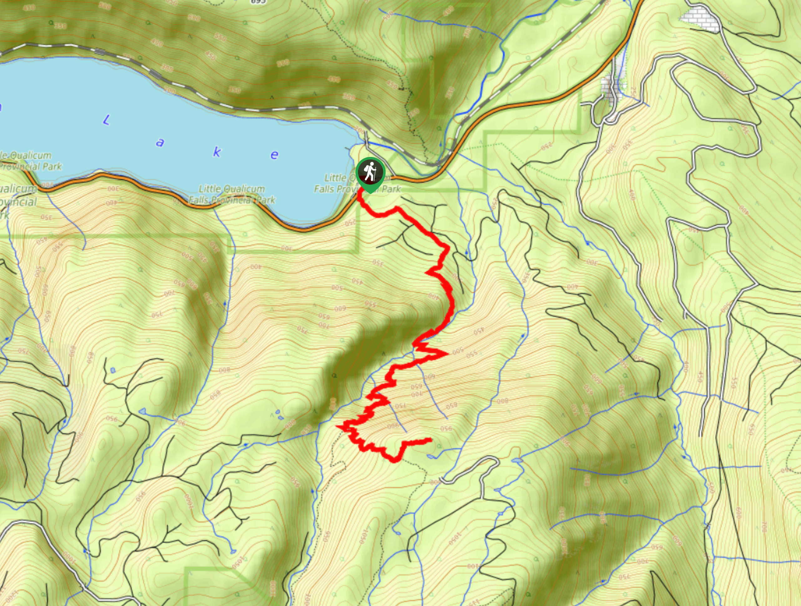
To reach the trailhead for the CPR Trail from Port Alberni, head northeast along the Port Alberni Highway for 2.0mi and merge onto BC-4E. Follow this for 12.6mi, and you will find the Cameron Lake Picnic Area and the trailhead on the left.

About
| When to do | April-October |
| Backcountry Campsites | No |
| Pets allowed | Yes - On Leash |
| Family friendly | No |
| Route Signage | Average |
| Crowd Levels | Moderate |
| Route Type | Out and back |
CPR Trail
Elevation Graph
Weather
CPR Trail Description
While challenging, the CPR Trail is a popular hiking route near Port Alberni thanks to its breathtaking views, fun terrain, and well-maintained trails. Setting out from the Cameron Lake Picnic Area, the trail will take you south across BC-4, before turning to the southeast to pass through a cleared section of forest. From here, you will enter into the dense cover of the trees and climb uphill along the winding banks of McBey Creek that is set in the tranquil atmosphere of the rainforest. After working through several rope installations to traverse the rugged terrain of the mountainside, you will reach a viewpoint with gorgeous views across the expanse of Vancouver Island. After experiencing the epic scenery, follow the trail back downhill to return to the picnic area.
Similar hikes to the CPR Trail hike
Mount Hankin Bluffs Loop Trail
The Mount Hankin Bluffs Loop is a moderate length lollipop hiking route just south of Port Alberni that will expose…
Fir Baby Trail
The Fir Baby Trail is a great hiking route on the eastern edge of Port Alberni, BC, that will lead…
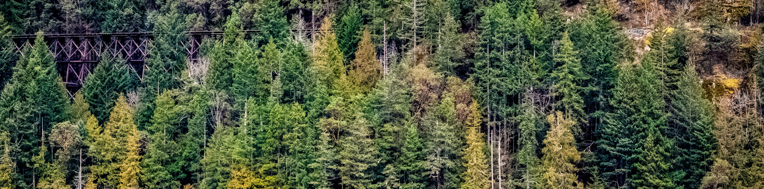
Cameron Lake Railway Trestles
Hiking to the Cameron Lake Railway Trestles is a fun, family-friendly experience that will take you to several scenic viewpoints…
Comments