Mount Wesley Trail
View Photos
Mount Wesley Trail
Difficulty Rating:
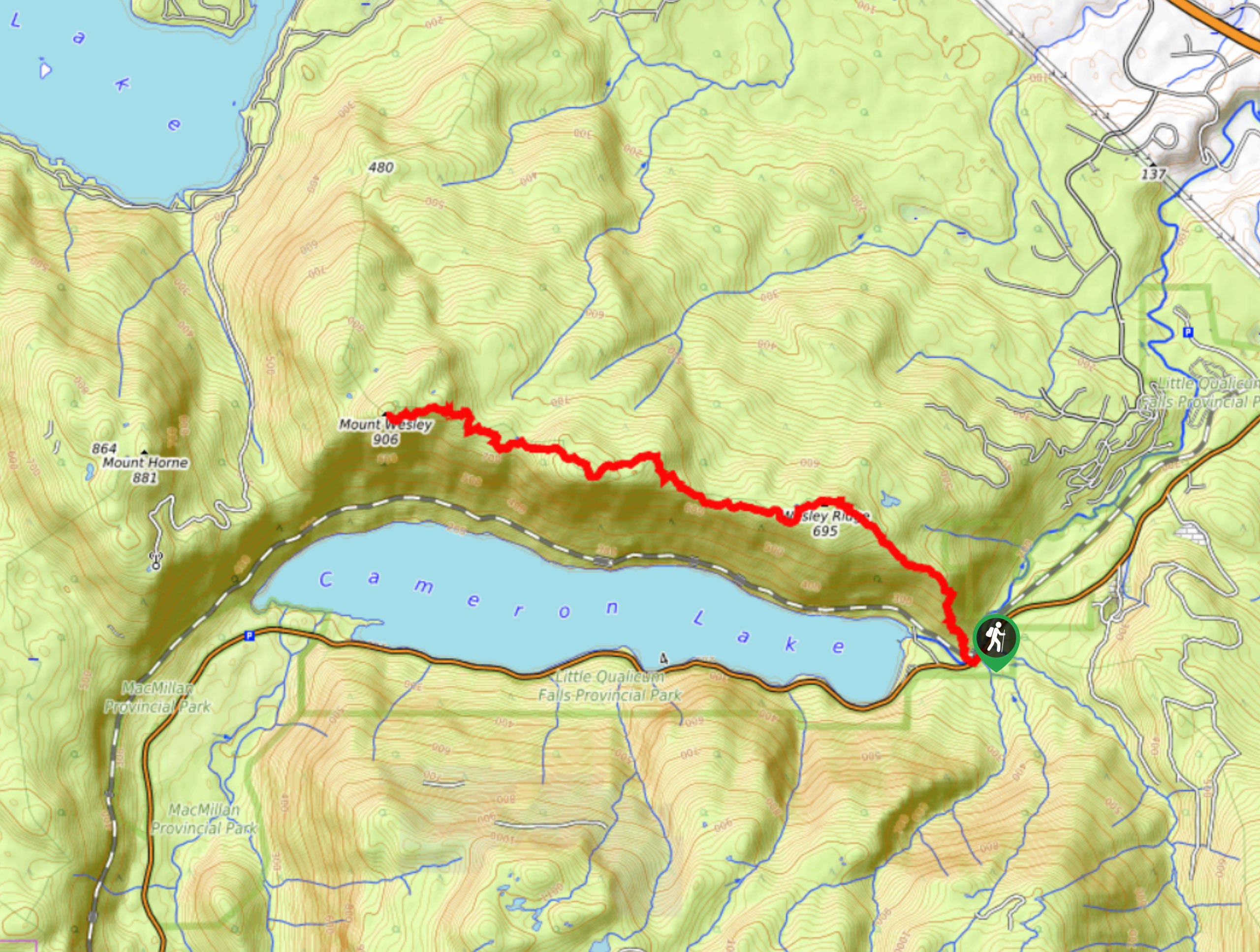
The journey to the summit of Mount Wesley is a tough uphill hiking route near Port Alberni that will see you traverse a rugged ridge for views overlooking Cameron Lake. While out on the trail, you will climb a series of switchbacks to reach the top of the ridge for some scenic views of the lake before continuing on to reach another lookout at the end of the trail. Make sure to bring bug repellant to stay comfortable on this forested hike.
Getting there
To reach the trailhead for the Mount Wesley Trail from Port Alberni, drive to the northeast for 2.1mi along the Port Alberni Highway and continue straight onto BC-4. Follow this for 12.9mi, and you will find a parking area on the left.

About
| When to do | April-October |
| Backcountry Campsites | No |
| Pets allowed | Yes - On Leash |
| Family friendly | Older Children only |
| Route Signage | Average |
| Crowd Levels | Low |
| Route Type | Out and back |
Mount Wesley Trail
Elevation Graph
Weather
Mount Wesley Trail Description
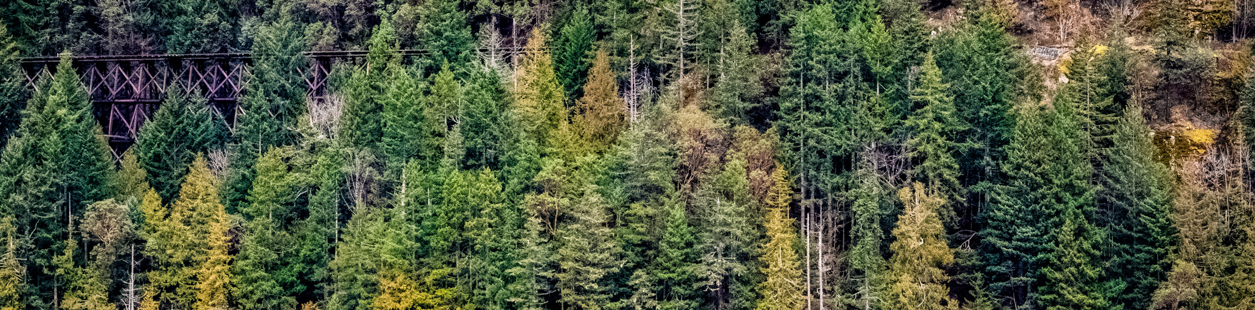
Hiking the Mount Wesley Trail is a popular activity near Port Alberni, thanks to the challenging uphill terrain and several scenic viewpoints located along the trail. Setting out from the roadside parking area, the trail will take you west along a rail line through the forest to cross over the Little Qualicum River before turning to the north for a series of switchbacks up the hillside. Shortly after passing by the viewpoint overlooking Cameron Lake, you will reach the top of the ridge. At this point, continue hiking to the west along the forested ridgeline, doing your best to keep moving and avoid the bugs along the trail. Eventually, you will climb further uphill to the summit of Mount Wesley, where you will receive some more beautiful views of the surrounding Vancouver Island landscape. After experiencing the scenery, retrace your footsteps along the ridge to return to the trailhead below.
Similar hikes to the Mount Wesley Trail hike
Mount Hankin Bluffs Loop Trail
The Mount Hankin Bluffs Loop is a moderate length lollipop hiking route just south of Port Alberni that will expose…
Fir Baby Trail
The Fir Baby Trail is a great hiking route on the eastern edge of Port Alberni, BC, that will lead…
Cameron Lake Railway Trestles
Hiking to the Cameron Lake Railway Trestles is a fun, family-friendly experience that will take you to several scenic viewpoints…
Comments