Tom's Thumb via Gateway Trail
View Photos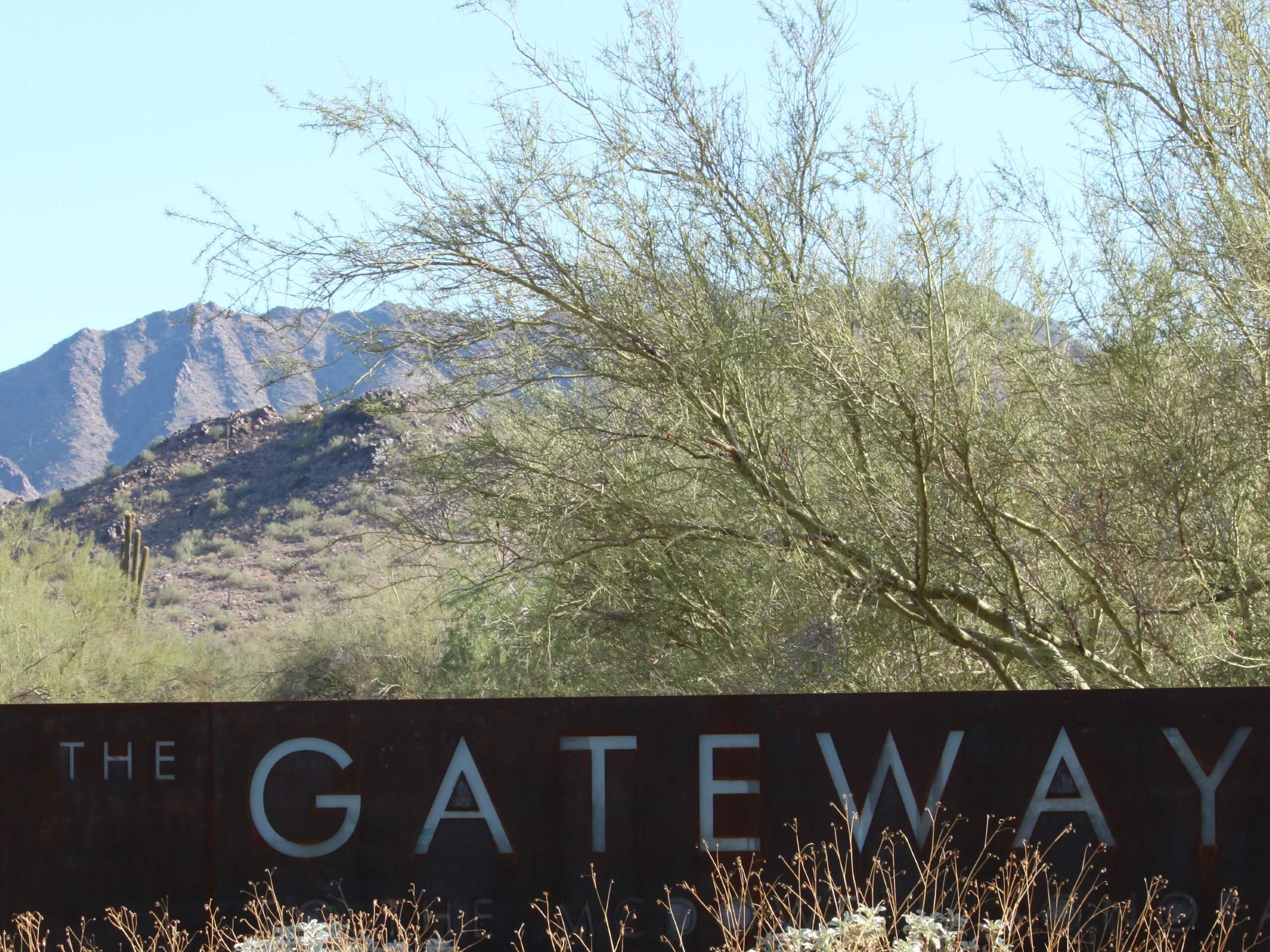
Tom's Thumb via Gateway Trail
Difficulty Rating:
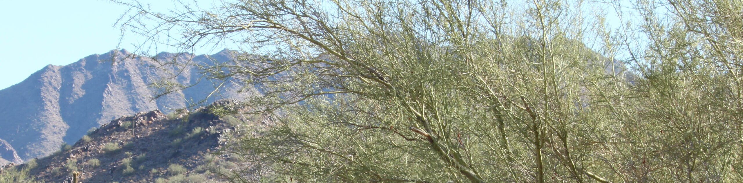
Tom’s Thumb via Gateway Trail is an alternative route to the top of Tom’s Thumb that’s longer and a bit more demanding than the traditional approach. This hike is just over 11.0mi long, but with views of Horseshoe Ridge, Drinkwater Peak, and East End Peak all close by, it’s a rewarding venture. Expect moderate to heavy traffic on this trail.
Getting there
The trailhead for Tom’s Thumb via Gateway Trail is off N Thompson Peak Parkway.

About
| Backcountry Campground | No |
| When to do | October-May |
| Pets allowed | Yes - On Leash |
| Family friendly | No |
| Route Signage | Average |
| Crowd Levels | Moderate |
| Route Type | Out and back |
Tom's Thumb via Gateway Trail
Elevation Graph
Weather
Tom's Thumb via Gateway Trail Description
The Tom’s Thumb via Gateway Trail is a route in the McDowell Sonoran Preserve. This trail gets you to the top of Tom’s Thumb (which does, indeed, resemble a thumb) on a different approach than the traditional trail. This route is better suited to strong climbers who prefer a full-day hike. Expect a long trail with varied mountain views. This one isn’t kid-friendly.
Since you’ll be out in the desert for several hours, make sure you bring lots of water, choose a cooler day for this hike, and consider leaving dogs at home unless you have water for them and the forecast isn’t too hot.
From the trailhead, the first half of the hike is fairly relaxed and not as scenic, but things get more interesting as you go. Follow Gateway Loop as it heads between Horseshoe Ridge and Drinkwater Peak. The trail will start to gain elevation more aggressively shortly after you hike underneath Inspiration Viewpoint. Climb up through the saddle, the thumb in sight. You’ll enjoy a brief descent down to the thumb at the top of the hike. Take in the view and then retrace your steps.
Similar hikes to the Tom's Thumb via Gateway Trail hike

Two Bit and Rattle Saddle Loop
The Two Bit and Rattle Saddle Trail is a moderately challenging hike in the Phoenix’s Mountain Preserve near Piestewa Peak.…

Ma-Ha-Tauk and Crosscut Loop
The Ma-Ha-Tauk and Crosscut Loop is a moderate hike in Phoenix’s South Mountain Preserve. With pleasant views and not much…

Coach Whip Hike
The Coach Whip hike is a route in the Thunderbird Conservation Park in Glendale. The park mostly draws residents who…
Comments