Sidewinder and Ocotillo Loop
View Photos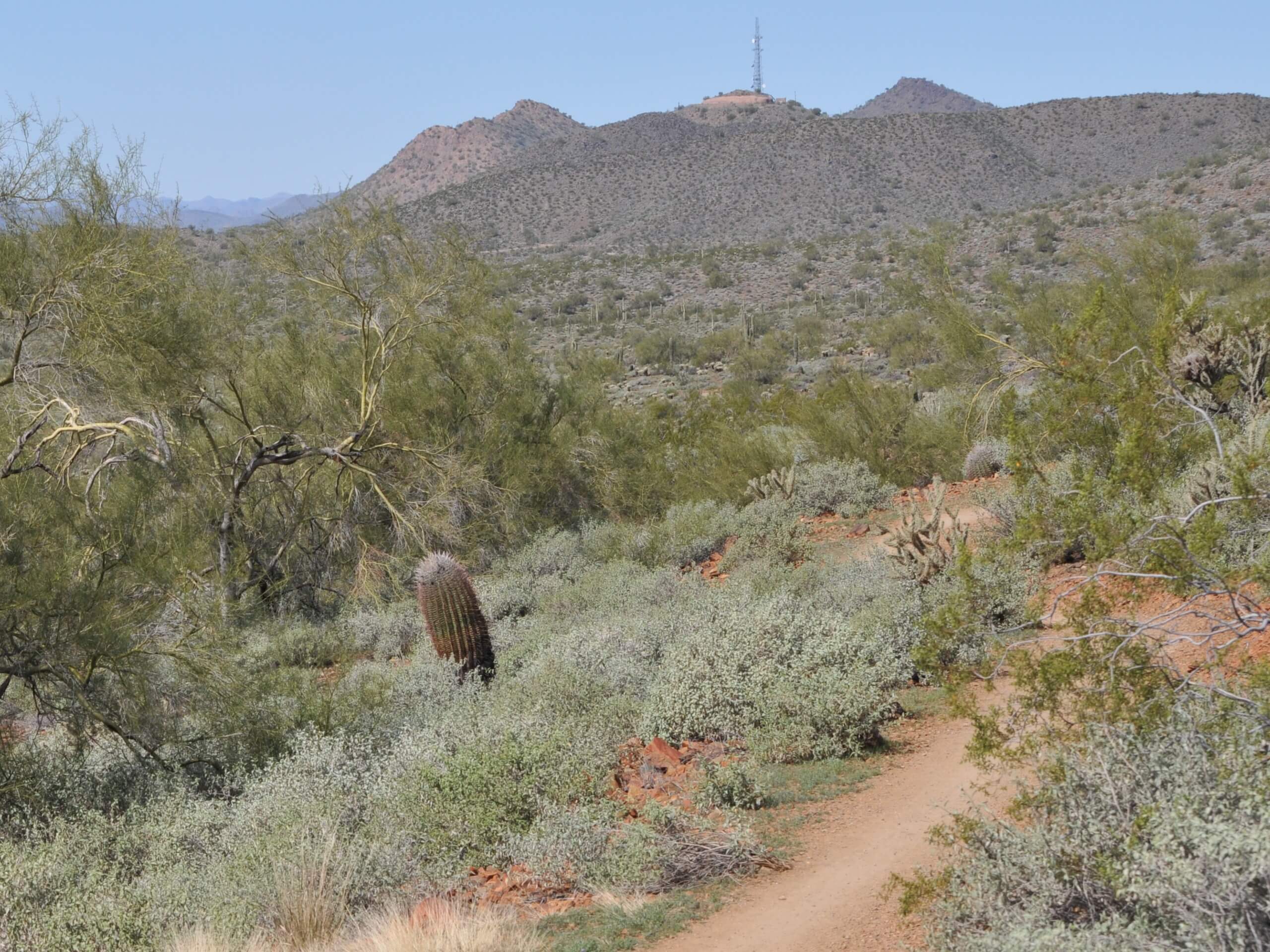
Sidewinder and Ocotillo Loop
Difficulty Rating:
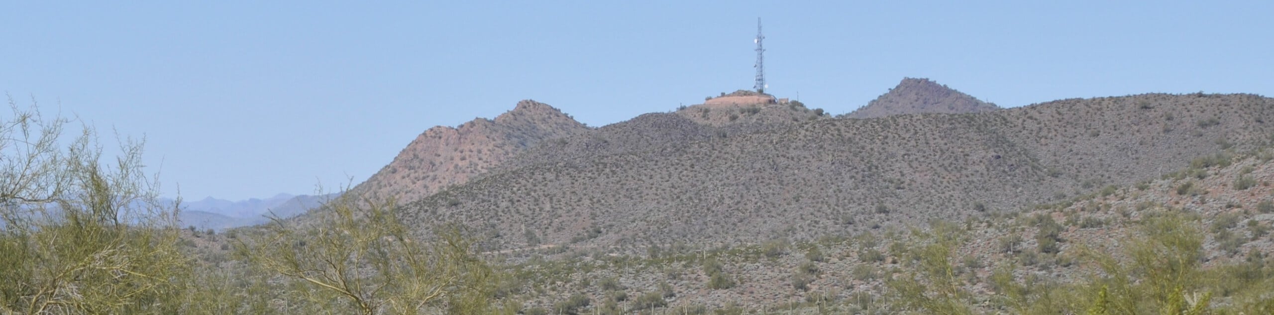
The Sidewinder and Ocotillo Loop is a heavily trafficked 5.2mi loop hike in the Phoenix Sonoran Desert Preserve. This hike doesn’t offer big sightlines, but when the ocotillo is blooming, it becomes the star of the show. This route is shared by hikers, trail runners, and mountain bikers. It’s mostly undulating. Remember to share the trail and look out for one another.
Getting there
The trailhead for the Sidewinder and Ocotillo Loop is near the intersection of N 7th Ave and W Carefree Highway.

About
| Backcountry Campground | No |
| When to do | October-May |
| Pets allowed | Yes - On Leash |
| Family friendly | Yes |
| Route Signage | Average |
| Crowd Levels | High |
| Route Type | Loop |
Sidewinder and Ocotillo Loop
Elevation Graph
Weather
Sidewinder and Ocotillo Loop Description
The Sidewinder and Ocotillo Loop is a route in the Phoenix Sonoran Desert Preserve that is used by hikers, trail runners, and mountain bikers. This route doesn’t have huge sightlines, but it’s got lots of cholla and ocotillo beside the trail. When the ocotillo is in bloom, the trail is at its best.
Due to the mixed traffic on this route, remember to keep dogs on a leash close by and watch out for bikes and runners. Bring water with you (there is none at the trailhead) and avoid hiking in the heat of the day.
The hike begins near Carefree Hwy and 7th Ave. Go left to connect to Sidewinder Trail, which has more elevation changes than Ocotillo, meaning the second part of your hike will be the most relaxed. Stay left at the fork and then make your way along the hills, climbing up and then descending gradually. At the fork with Ocotillo, take this trail by taking a sharp right.
Follow Ocotillo Trail as it draws near Dove Valley Road and then pulls away back into the desert. You’ll come around the hill near the trailhead and fund yourself back at the starting point.
Similar hikes to the Sidewinder and Ocotillo Loop hike

Palisade to Basalt Loop
The Palisade to Basalt Loop is a short, easy trail in the Deem Hills Recreation Area. This hike is 1.4mi

Two Bit and Rattle Saddle Loop
The Two Bit and Rattle Saddle Trail is a moderately challenging hike in the Phoenix’s Mountain Preserve near Piestewa Peak.…

Ma-Ha-Tauk and Crosscut Loop
The Ma-Ha-Tauk and Crosscut Loop is a moderate hike in Phoenix’s South Mountain Preserve. With pleasant views and not much…
Comments